Get PeakVisor App
Sign In
Search by GPS coordinates
- Latitude
- ° ' ''
- Longitude
- ° ' ''
- Units of Length

Yes
Cancel
❤ Wishlist ×
Choose
Delete
Located within the sprawling Mt. Baker-Snoqualmie National Forest, the Mt. Baker Wilderness is a 117,000-acre wilderness area that stretches across the western slopes of the Cascade Range in Washington state. The Wilderness, which borders the renowned North Cascades National Park to the east and the Canadian border to the north, is cherished for its stunning alpine lakes, high-elevation tarns, lush meadows, and impressive snow-capped summits.
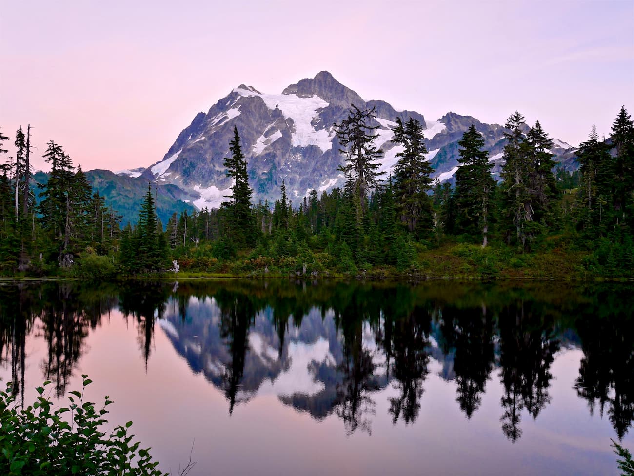
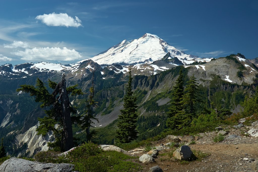
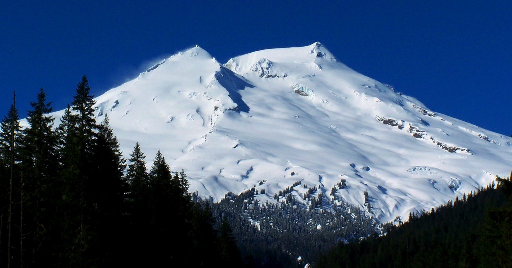
The most iconic peak in the Mt. Baker Wilderness is Mount Baker, a 10,780-foot active volcano. Mount Baker has the second-most thermally active crater in the Cascade Range , after Mt. St. Helens, and is the fourth highest summit in the state. The peak, which dominates the southern portion of the Wilderness, contains fourteen glaciers and the mountain sustains more than 24,000 acres of permanent snow and ice.
In the spring and summer, Mount Baker is a popular climbing destination for local mountaineers. Despite potentially dangerous crevasses and avalanches, Mount Baker is recognized locally as an excellent beginner-volcano and, weather permitting, is regularly ascended by novice climbers.
Mount Baker isn’t the only impressive peak in the Mt. Baker Wilderness, however. Several illustrious summits can be found in the Mount Baker Wilderness, including Mount Shuksan, Tomyhoi Peak, Twin Sisters Mountain, Mount Larrabee, Goat Mountain, Mount Sefrit, and Hadley Peak.
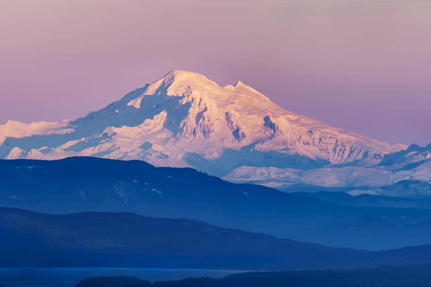
The Mt. Baker Wilderness contains more than 50 miles of hiking trails and sits adjacent to the Mt. Baker National Recreation Area, an area that was established in 1984 to accommodate mixed recreation, including snowmobiling.
A variety of wildlife calls the Mount Baker Wilderness home, including black bear, black-tailed deer, mountain goats, and marmots. Many of the region’s drainages are filled with alpine wildflowers, huckleberries, and blueberries in the summer and forests of Douglas fir, cedar, western hemlock, and mountain hemlock blanket lower elevations.
One of the most popular hikes in the Mt. Baker Wilderness, the 9-mile Skyline Divide trail quickly climbs 1,500 feet through western hemlock, mountain hemlock, and silver fir forest. After reaching the ridgeline, hikers are rewarded with wildflower-filled meadows and dramatic views of nearby Mount Baker and Mount Shuksan, as well as Lincoln Peak and Colfax Peak. At the end of the trail, an unmaintained boot path leads to Chowder Ridge. There are also several stunning backcountry campsites along this route.
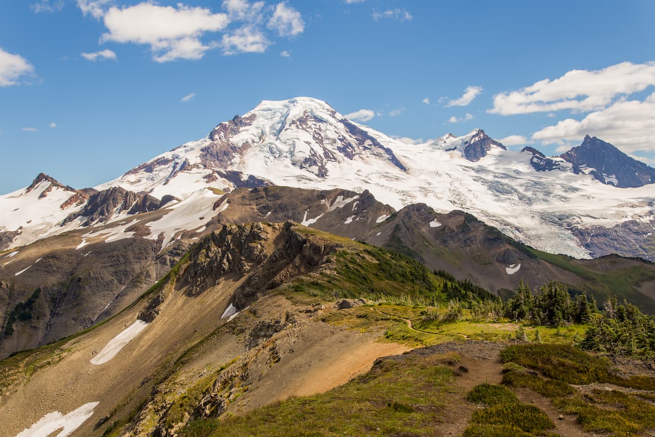
Artist Point sits at the end of Mount Baker Highway and boasts some of the best views of the surrounding Cascades, including Mount Baker and Mount Shuksan. Sitting at over 5,000 feet in elevation, Artist Point is generally covered in snow from October to June. Although the Mount Baker Highway closes at first heavy snowfall, the area remains popular for winter recreation, including snowshoeing, skiing, and winter camping. Several impressive hiking trails can also be found leading from or near the parking area at Artist Point, including Artist Ridge, Table Mountain, Picture Lake, Ptarmigan Ridge, Chain Lakes, and Lake Ann.
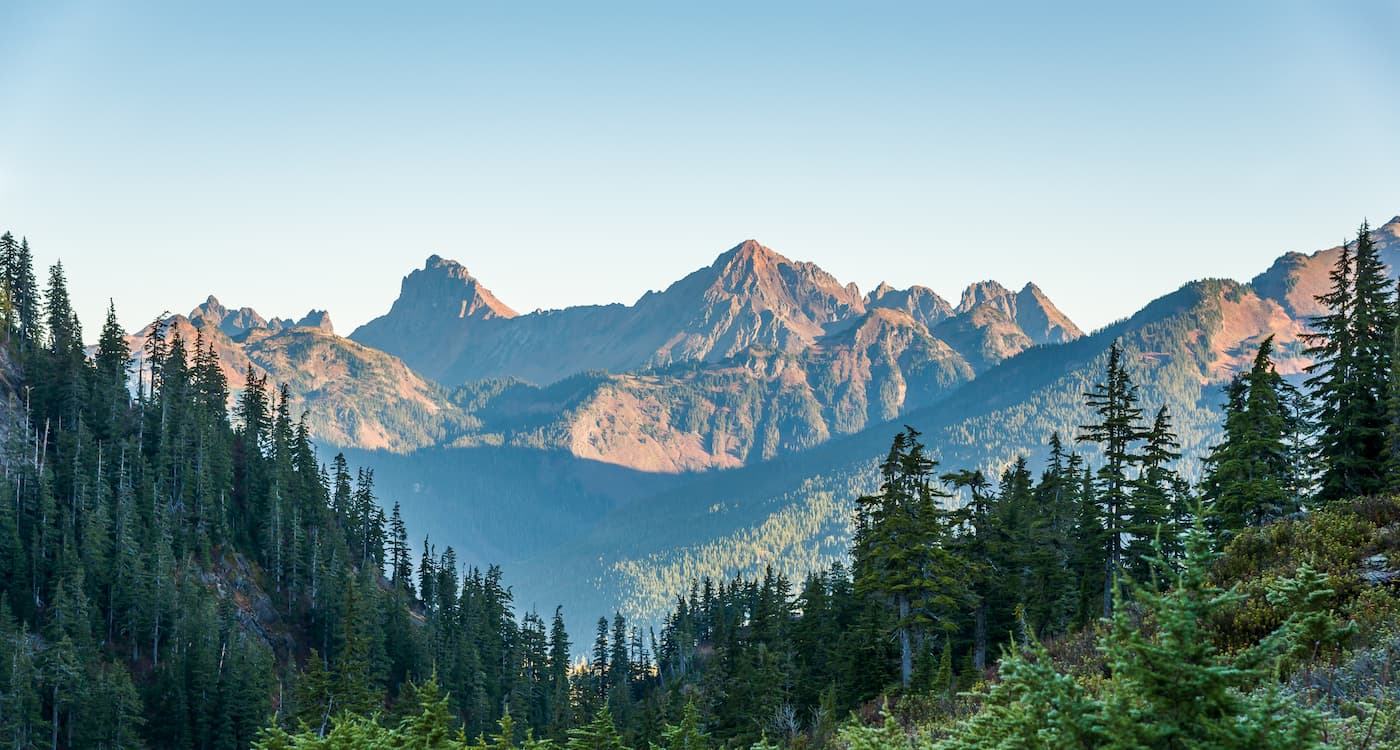
Mt. Baker is home to a variety of approaches with varying degrees of technical difficulty. The most popular approaches for novice climbers are the Coleman/Deming and the Easton routes, while ascents like the North Ridge are considerably more challenging. Regardless of the route, however, it’s important to remember that climbing Mt. Baker requires some degree of technical experience. Glacier travel is inevitable, and knowledge of crevasse rescue and safe climbing techniques are a must. Fortunately, several guide services are available for those lacking the knowledge necessary to climb the volcano alone.
The Mt. Baker Ski Area sits at the end of Mt. Baker Highway in what is considered one of the most beautiful alpine areas in North America. In addition to being in the heart of the Mt. Baker Wilderness, the Mt. Baker Ski Area averages over 600 inches of snow each year and is home to 34 runs and 1,000 acres of skiable terrain. This area is known for its challenging routes and backcountry accessibility.
The Mount Baker Lodge is within walking distance of the ski area and provides accommodations for travelers looking to explore the stunning mountain summits and valleys of Mt. Baker-Snoqualmie National Forest.

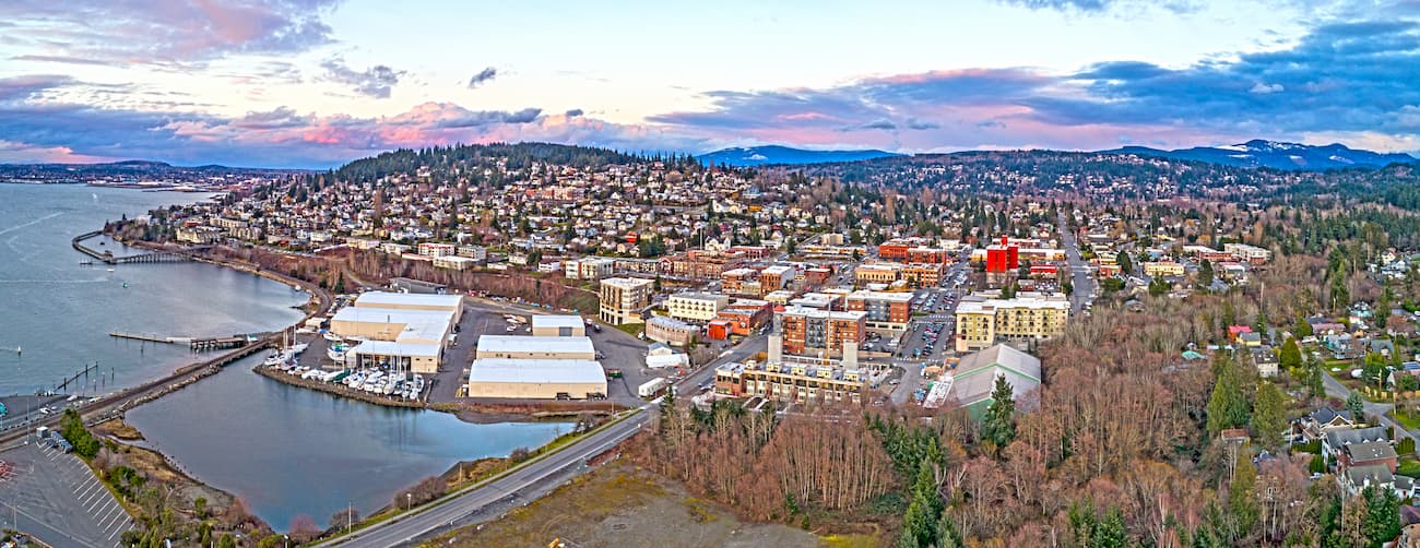
The closest major city to Mt. Baker is Bellingham, a coastal city that is best-known for its scenic drives, outdoor recreation, and thriving arts district. Not only does the city house an extensive network of hiking and biking trails, but visitors can easily trek to the Mount Baker-Snoqualmie National Forest and nearby North Cascades National Park for a day of adventure. The city offers ample accommodations, restaurants, and facilities, including Hotel Bellwether, a luxurious Bellingham hotel that offers incredible views of Mount Baker and access to the world-famous San Juan islands.
Explore Mount Baker Wilderness with the PeakVisor 3D Map and identify its summits.


ultra
glacier
volcano
cascade-range-9000ers
washington-bulger
smoots-100
chemeketan-18-nw
mountaineers-6-peak-pin
mountaineers-5-peak-pin
mountaineers-bakers-dozen
cascade-volcanoes-pin
mazamas-16-nw-award
washington-ultras
ultra
glacier
volcano
cascade-range-9000ers
washington-bulger
smoots-100
chemeketan-18-nw
mountaineers-6-peak-pin
mountaineers-5-peak-pin
mountaineers-bakers-dozen
cascade-volcanoes-pin
mazamas-16-nw-award
washington-ultras
