Get PeakVisor App
Sign In
Search by GPS coordinates
- Latitude
- ° ' ''
- Longitude
- ° ' ''
- Units of Length

Yes
Cancel
❤ Wishlist ×
Choose
Delete
Langtang National Park is a protected region known for its mountainous landscape that’s located in northeastern Nepal. The park contains 68 named mountains, the tallest and most prominent peak of which is Langtang Lirung at 7,227 m (23,710 ft) in elevation with 1,575 m (5,167 ft) of prominence.
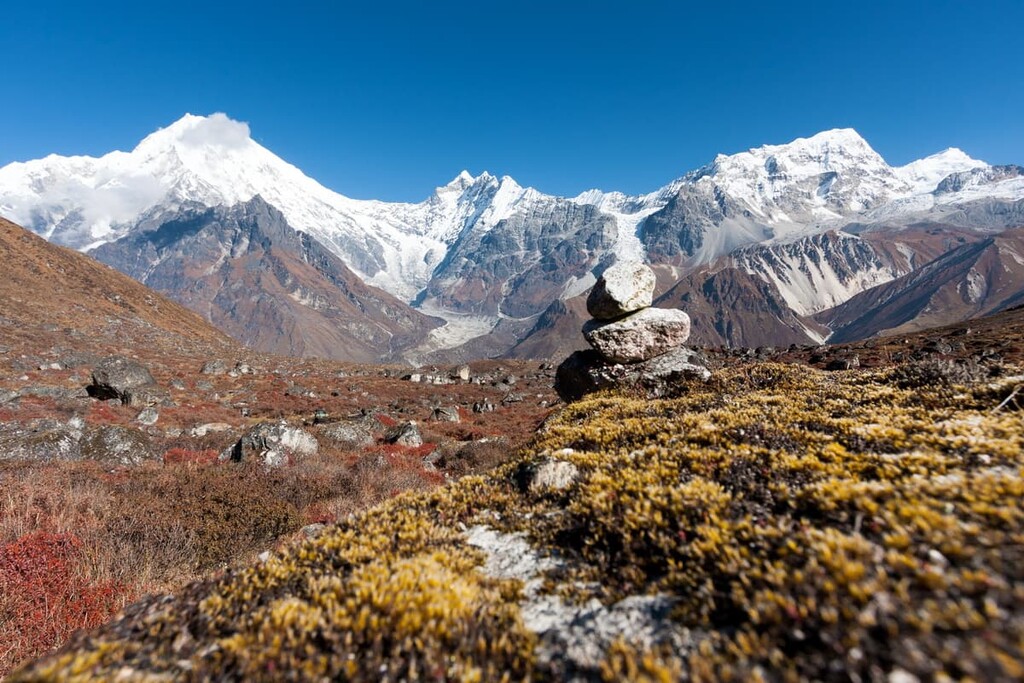
Langtang National Park is situated in northeastern Nepal. The park spans 1,710 sq. km (660 sq. mi) of land across the Nuwakot, Rasuwa, and Sindhupalchok Districts. Langtang National Park is situated in the northeastern region of the country and its northern boundary marks the border between Nepal and Tibet.
Elevations in the park range from 1,000 m (3,281 ft) up to the summit of Langtang Lirung. The Langtang and Ganesh Himal mountain ranges run throughout the park. Amidst the rugged peaks lie over 70 glaciers of varying sizes.
Langtang Valley runs through the park, as does the Lantang River. The river eventually flows into the Bhote Kosi River near the western edge of the park. Another distinct feature of the park is its many alpine lakes.
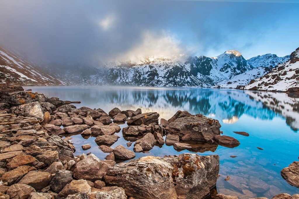
One of the largest lakes is Gosaikunda (Gosainkunda). This freshwater oligotrophic lake sits at an elevation of 4,380 m (14,370 ft). The lake is the largest in a network of nearby lakes, which together cover 1,030 ha (4 sq miles) throughout the park. In the warmer months when the lake melts, it flows to form the Trishuli River.
Additionally, Langtang National Park is surrounded by other popular outdoor recreation areas. The Shiva Puri Conservation Area lies to the south of the park while the Manaslu Conservation Area is located to the northwest, and Sagarmatha National Park is situated to the east.
The mountains in the Langtang National Park are part of the Main Central Thrust Zone (MCT) of the Himalaya. The MCT is a geological fault located where the Indian Plate meets the Eurasian Plate.
Mountains in the park mainly lie in the Tethyan Himalayan Sequence. Here the peaks are composed of sediments from the Eocene epoch, which occurred about 56 to 34 million years ago.
Compared to other major ranges, the Himalaya are quite young, having formed around 40 to 50 million years ago. The collision of these two plates into one another led to formation of the jagged peaks that we know today. In fact, the collision of these two plates continues to this day, allowing the peaks to grow around 5mm (0.2 in) per year.
Igneous rocks found throughout the park, and throughout the entire Himalaya, include granite, diorite, and gabbro. Sedimentary rocks and metamorphic rocks can also be found throughout the park. Common types include marl, dolomite, schist, migmatite, and phyllite.
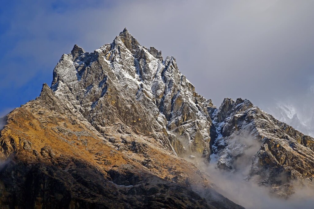
Major peaks within the park include Langtang Lirung, Langtang Ri, Risum, Loenpo Gang, and Phurbi Chachu.
Langtang National Park is home to a wide range of both flora and fauna. The high meadow landscapes allow for many species to thrive, especially during the warmer months of the year.
Musk deer and Himalayan tahr can be found throughout much of the park. Other popular species include red panda, snow leopard, wild dog, black bear, and ghoral as well as over 200 different bird species.
Plant life is particularly abundant at lower elevations in the park. The Nepalese larch, along with birch, silver fir, and Rhododendron campanulatum form forested regions at lower elevations in Langtang National Park. Above the treeline, these forests transition into alpine grassland meadows with the occasional juniper tree and rhododendron shrub.
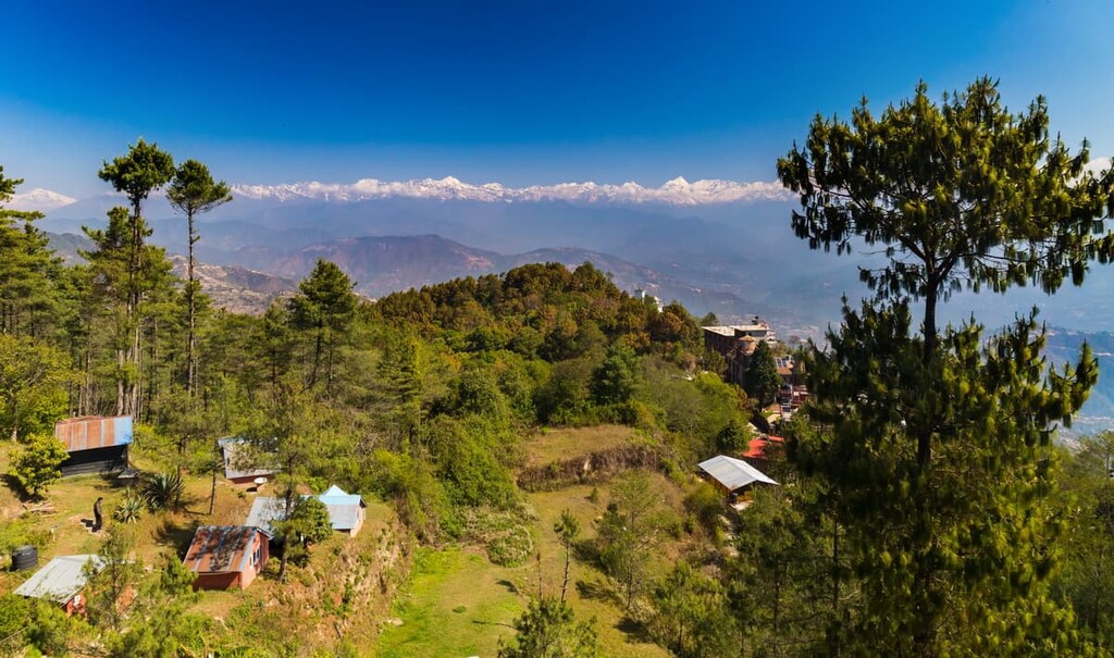
The region around Langtang National Park has been inhabited for thousands of years. To this day, there are a number of small communities scattered throughout the Langtang Valley. Those who currently inhabit the region are thought to be descendants from the Kerung people from nearby Tibet.
The Kerung people along with the Tamang people now inhabit various sections of the park, though most communities primarily lie in the Langtang Valley. Today around 4,500 people live within the park boundaries.
Local communities often rely on the park for firewood and are frequently visited by those trekking through the park. The local communities have a rich cultural history that includes traditions of intricate handmade dresses, traditional stone built houses, and carved wooden porches.
Langtang National Park was established in 1976 in order to protect the unique flora and fauna of the region. The park was Nepal’s first national park in the Himalaya and the country’s fourth protected area.
The park boundaries were later expanded in 1998 to its current size and it is now part of a region known as the Sacred Himalayan Landscape, which extends from the park all the way east through West Bengal and Sikkim in India into the Torsa Strict Nature Reserve in Bhutan.
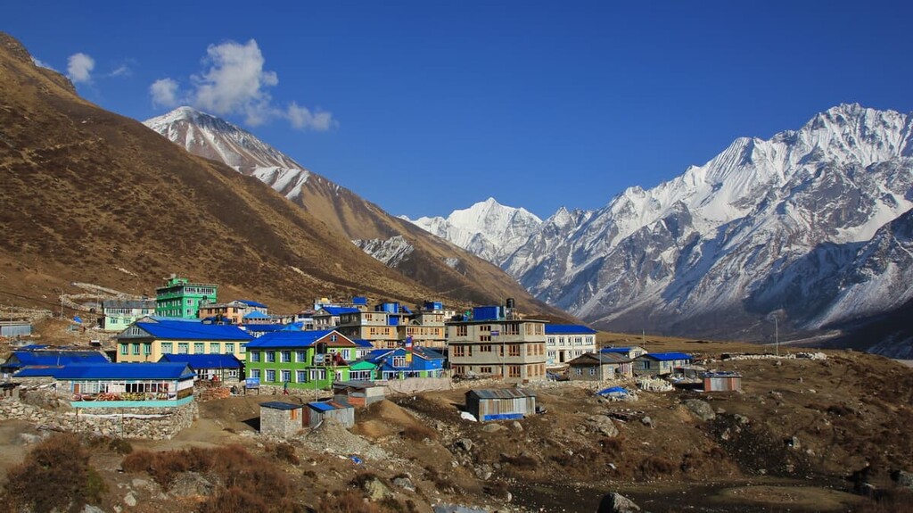
Though there are numerous guided treks throughout the park, there are also other easier hiking routes. Here are some of the top hiking areas to visit in the Langtang National Park:
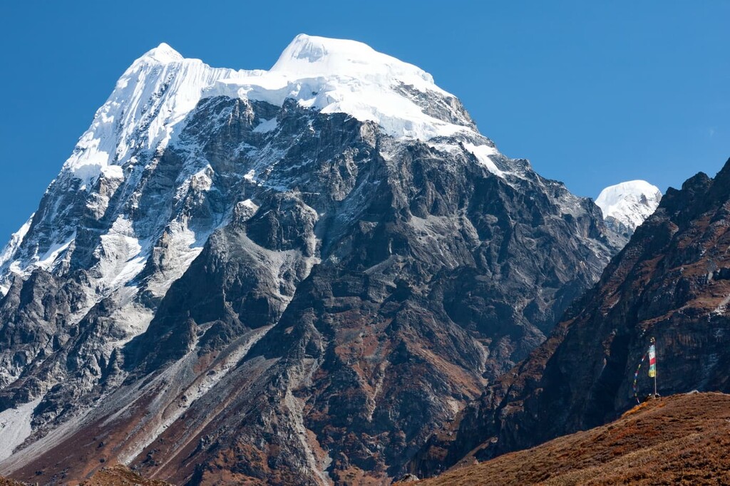
The Kyanjin Pass Loop is a moderate trail that starts in Kyanjin Gompa. The loop trail totals 5 km (3.1 miles) with 729 m (2,392 ft) elevation gain. The exposed trail allows for stunning views of the snow-capped Himalayan peaks.
The Langtang Trek starts in Kyanjin Gompa and heads westward through the park. The well-maintained path is 18 km (11.3 miles) one way with 1,389 m (4,557 ft) elevation gain. Although the route can be completed in a day, hikers can turn around at any point to shorten the trek.
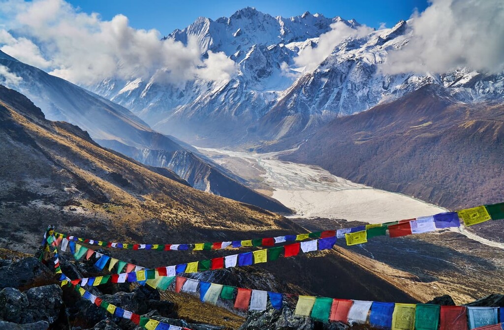
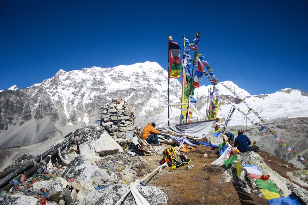
The Tserko Ri Trail is a strenuous out and back trail. The trail climbs steeply totaling 9.6 km (6 miles) with 1,106 m (3,629 ft) elevation gain. From the summit of Tserko Ri, hikers can see down to the community of Kyanjin Gompa and the surrounding peaks.
Looking for a place to stay near Langtang National Park? Here are some of the best cities and villages to check out in the region:
Located just south of the Langtang National Park is the municipality of Chautara, also known as Chautara Sangachowkgadi. The municipality has a population of around 50,000 and Nepali is the most common language in the region.
While the community was once a major hub for accessing the park, much of the buildings were destroyed during the major earthquake of 2015. Local guides often lead treks that start from or pass through the city en route to the park.
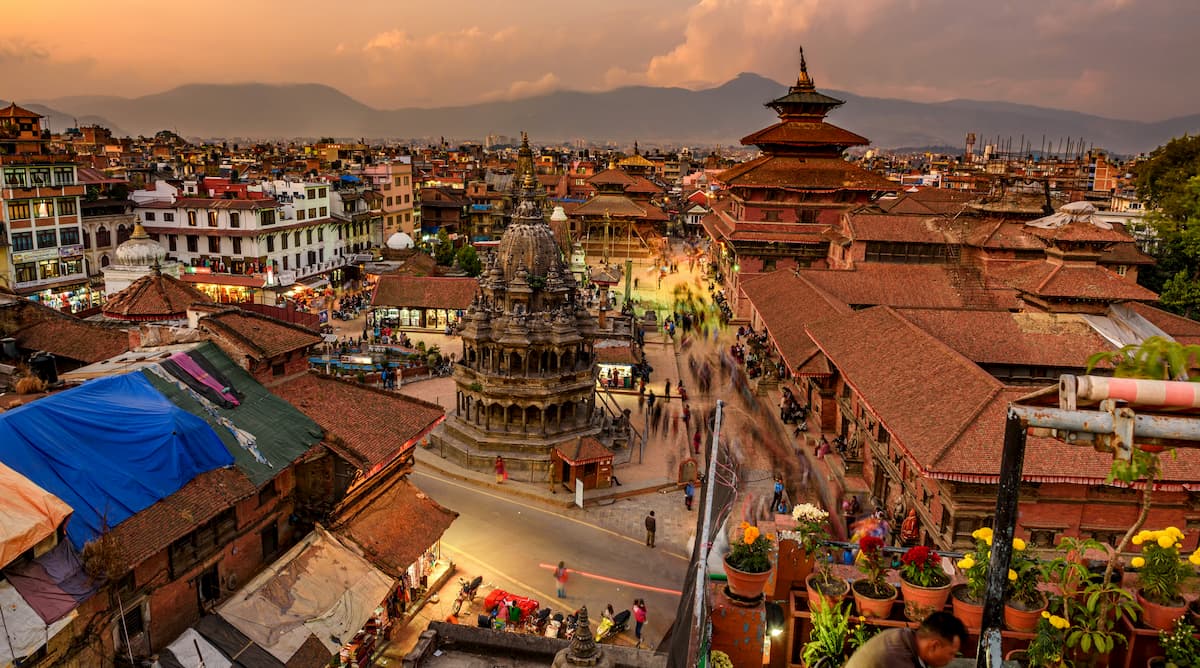
The city of Kathmandu is the capital of Nepal. It sits just 32 km (20 miles) south of the park’s southern border. Kathmandu is the most populated city in the country as it is home to more than 1.4 million people.
Kathmandu has long been the cultural hub of the country. Due to its large population, the city often has large festivals and celebrations for the many religions practiced in the region. The Kathmandu Valley, which was historically known as “Nepal Mandala,” provides both locals and visitors access to the rest of Nepal.
Explore Langtang National Park with the PeakVisor 3D Map and identify its summits.


