Get PeakVisor App
Sign In
Search by GPS coordinates
- Latitude
- ° ' ''
- Longitude
- ° ' ''
- Units of Length

Yes
Cancel
❤ Wishlist ×
Choose
Delete
Kevo Strict Nature Reserve (Kevon luonnonpuisto) is one of dozens of nature reserves in Finland. It is located in the northern part of the country in Lapland. Additionally, it is the largest such reserve in the country with an area of 712 sq km (275 sq mi). But above all, the reserve is famous for being the site of the huge Kevo Canyon. Additionally, there are 36 named mountains in the reserve, the highest and the most prominent of which is Kuivi (640 m / 2,100 ft).
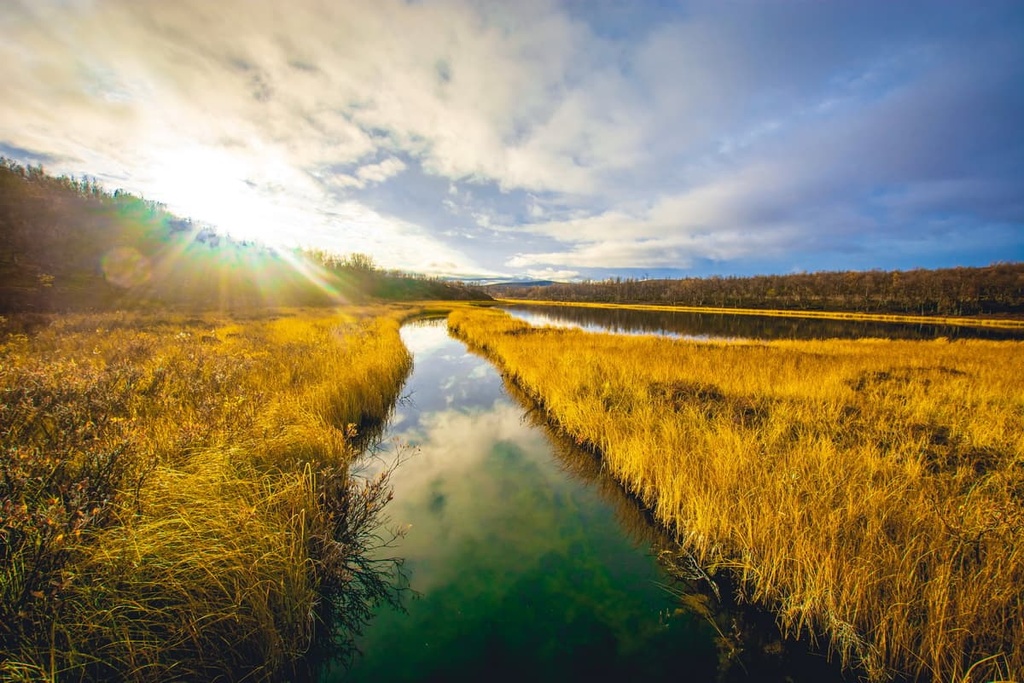
The name of the Kevo Strict Nature Reserve comes from the name of the reserve’s main canyon. This canyon formed over the course of thousands of years as a result of erosion by the Kevojoki River, which is also known as Geavvu or Kiävu. Both latter names come from the language of the Sámi, the Indigenous people of Lapland.
The reserve was established in 1956 to protect the wildness of the canyon and the surrounding highlands of Lapland.
Kevo Strict Nature Reserve has very interesting geography. It is located inside the Paistunturi Wilderness Area, which is one of Finland’s 12 wilderness areas. Paistunturi is the most mountainous wilderness area in the country and it is home to 85 peaks.
The reserve divides Paistunturi into two roughly equal parts and makes up about half of its area. But, it is considered a separate territory because of the presence of the unique Kevo Canyon.
Administratively, both areas belong to the same region of Utsjoki, which is the northernmost in Lapland and in the country as a whole. It is situated on the border with Norway and the nearest large settlement is the village of Inari, which is the center of Sámi culture in the region.
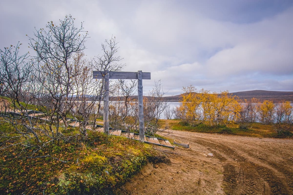
There are two starting points for hiking excursions in the reserve: the information point on the western border on the road between Inari and Utsjoki in the village of Kenestupa (Kenesjärvi Lake), and Sulaoja on the southern border on the road between Karigasniemi and Kaamanen settlements.
You can get to Kevo from Rovaniemi, the capital of Lapland, by car or bus, or from Helsinki by car, bus, or train. The total distance of the Helsinki—Kenestupa route via Rovaniemi is 1,236 km (768 mi) or about 14 hours by car. You can also get to Rovaniemi, as well as to Ivalo near Inari by plane.
The Paistunturi Wilderness Area and Kevo Strict Nature Reserve are surrounded by several other large wilderness areas, namely the Muotkatunturi Wilderness Area to the south, and the Kaldoaivi Wilderness Area to the east. These other wilderness areas also make for a great outdoor adventure in Lapland.
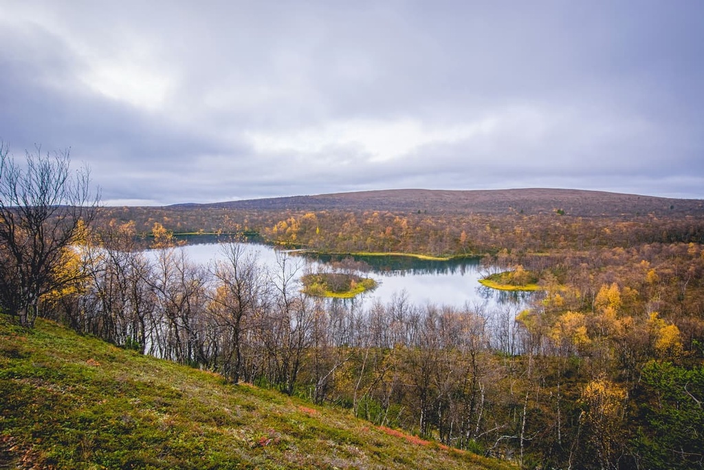
The Kevo Strict Nature Reserve has the same geological features as the rest of northern Lapland. The main types of rocks that are found here are different kinds of granite, gneisses, shales, and quartzites, including some of the oldest rocks in Europe that date back 1.3 to 3 billion years.
However, geologically, it is roughly located on the boundary between the Lapland Granulite Belt (dating back around 4 to 2.5 billion years), which covers parts of Norway, Finland, and Murmansk Oblast in Russia, and the Karelian Domain (dating back 2.5 billion to 541 million years), which covers the most of north-eastern Finland from the northwestern "arm" of Lapland all the way to North Karelia region.
All these domains are parts of the larger Baltic Shield, which is a segment of the Earth’s crust, located under the whole Scandinavian Peninsula.
The landscape of the Kevo Strict Nature Reserve can be described in two main words: Kevo Canyon and the surrounding area with low hills, or fells, as the Finns call them, which are crossed by large ravines.
Kevo Canyon is a 40 kilometer (25 mile) long stretch of canyon that runs in a northeast-southwest direction through almost the entire territory of the reserve. It was formed by the Kevo River, which is also known as Kevojoki. The maximum depth of the canyon in some places reaches 80 meters (262 feet).
Perhaps the most beautiful place of the canyon and river is located in its southern part of the nature reserve, about 1 kilometer (0.6 mile) from the Suohppášaja campfire and camping site and a few kilometers from the village of Sulaoja. Here is the reserve’s famous observation point, which offers a stunning view that you are likely to see in most photographs of the region.
Here, in the south of the reserve, there is also the spectacular Luomusjärvi Ridge, which is about 350 m (1,148 ft) long. The ridge cuts Luomusjärvi Lake into two separate lakes, Luomusjärvet and Nuorttatjávri, and it towers 20 m (66 ft) above them. You will walk along this ridge if you travel down the main trail in the reserve.
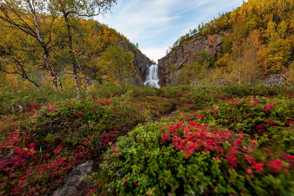
However, the view of Njakaljärvi Lakes in the northern part of the canyon, which is the widest part of the same Kevojoki River, is just as beautiful. It also takes your breath away. The lake is several kilometers long and several tens of meters deep.
In addition to Kevo River and its namesake canyon, there are other noteworthy natural sites in the reserve. These include:
In my opinion, Finland, and the Kevo Nature Reserve, in particular, is one of the best places in Europe to travel into the real wilderness.
You will first get acquainted with this wilderness at Helsinki Airport, where you can watch and listen to the sounds of nature at a special art installation in one of the airport’s hallways. Then in the city center, you will see loons, swans, ducks, geese, and other wild northern birds, as well as large animals like hares, foxes, and even moose.
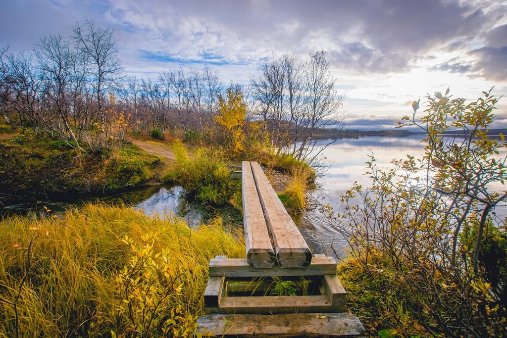
On the territory of the Kevo Reserve, you can find a few pine trees, but the majority of the reserve is covered by birch forests, bushes, and various plants and flowers, all of which can be called “fell vegetation.” This type of vegetation is typical for low hills of Lapland: wood fern, hawksbeard, Arctic arnica, forget-me-not, marsh saxifrage, and many others.
The major animal of the reserve, which is depicted on its official emblem, is the Arctic fox. This is an incredibly beautiful animal similar to an ordinary fox with a much fluffier, white-colored pelage, which allows it to survive in the harsh conditions of Lapland. Arctic foxes are also able to go a long time without food, which is hard to get from under the snow in winter. Unfortunately, Arctic foxes are disappearing in Finland due to the effects of climate change.
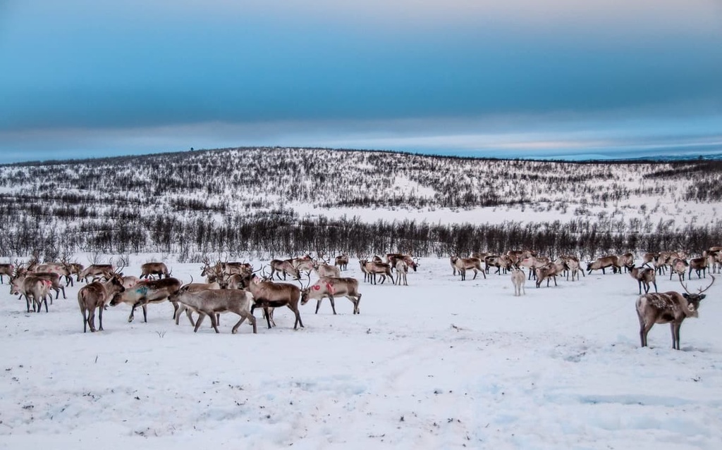
Kevo is also home to the wolverine, otter, lynx, brown bear, and other mammals. It is also an extensive reindeer herding area, so don't be surprised if you see many of them around.
In the region, you’ll have many chances to see different waterfowl and other birds, such as the rough-legged buzzard, merlin, merganser, common goldeneye (Bucephala clangula), white-throated dipper, common redstart, grey-headed chickadee, pine grosbeak and many others.
Like everywhere in Lapland, the lakes and rivers in the reserve are full of valuable fish, including salmon, and other common species in these northern territories.
Since 1956, the Kevo Research Station of the University of Turku's Lapland Research Institute has conducted extensive research on the flora and fauna in the reserve. It is located on Kevojärvi Lake at the mouth of the Kevo River near the E75 highway.
Kuivi, which is also known as Guivi or Guivitunturi (640 m / 2,100 ft), is the highest mountain in Kevo Strict Nature Reserve. It belongs to the Paistunturi group of fells and is located to the north of the mountain group.
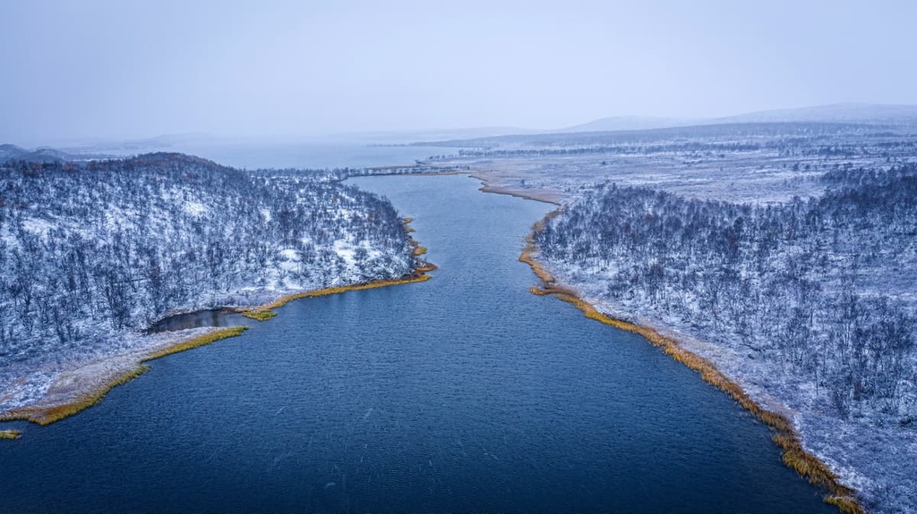
The top of the mountain has no vegetation at all, and, as such, it is a very rocky mountain. So, from the top, you will have a view of the vast empty spaces of the reserve, Paistunturi Wilderness Area, and also the Kaldoaivi Wilderness Area.
The highest peaks you can identify from Kuivi with the PeakVisor app are:
These are all located in Stabbursdalen National Park (Stabbursdalen nasjonalpark), which is one of the 57 national parks in Norway. (Note that 47 of these parks already exist and 10 more are to be created starting in 2021.)
Guivitunturi is located in the middle of the reserve to the north of the Kevo River. It is 40 km (25 mi) from Sulaoja, one of the best starting points for hikes in the reserve.
You can get to the mountain by the Kuivi Trail, which is one of the two marked trails in the reserve. It is a kind of a side loop train from the Kevo Canyon Trail, which travels along the whole territory of the reserve from east to west.
The Kuivi is also located just 4 km (2.4 mi) from Kuivi Open Wilderness Hut. This is a great place to stay for the night so you can enjoy the sunset or sunrise at the top of the mountain.
The other peaks of the reserve are distributed more or less equally throughout its territory. So, you will see many other peaks in the reserve as you travel along one of the region’s two marked trails. This includes 4 other of the top 5 peaks by prominence in the region:
In case you don't go hiking in Kevo, but rather pass it on your way to Norway, be sure to check out the closest peak to the road between Utsjoki and Inari, which is Puksalskäidi (245 m / 803 ft).
Kevo Strict Nature Reserve has three marked hiking trails, one short and two long. These include:
The Sulaoja Nature Trail is a trail in the western part of the reserve along the reserve’s border with Norway. The trail will introduce you to the reserve's wilderness and tell you about some of its features that I haven’t mentioned in this guide: for example, the holy spring at Sulaoja.
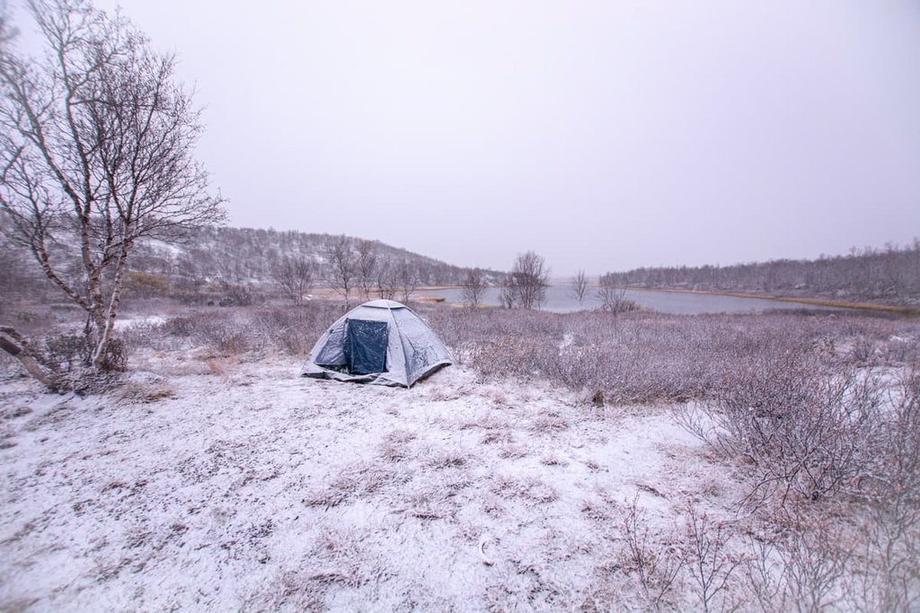
This is the main and longest trail through the whole territory of the reserve from the west to east. It can be hiked in the opposite direction. But, the trail is easier if you start from Sulaoja on the west rather than from Kenesjärvi Lake on the east.
Most of the trail goes straight through the canyon itself along the lower part of the river, but it also travels through the highland of the reserve where birch and pine forests grow and across open fells and bogs. Note that you will need to cross the Kevojoki River a few times during this hike.
There are 15 official sections of the trail, the longest of which are (in order of passage):
There are several options for accommodation on the trail, too, that you’ll read about later in this guide.
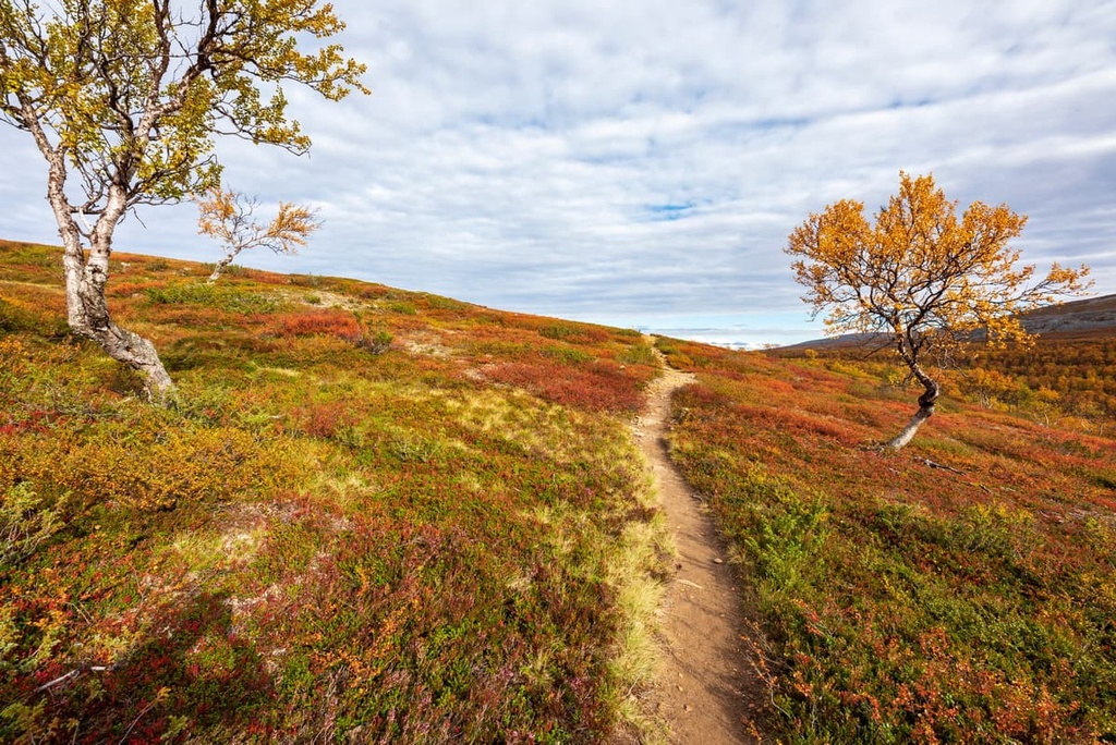
The Kuivi Trail is the second of two long trails in the reserve. It is a side trail from the Kevo Canyon Trail to the highest peak of the area. The trail can be hiked in two ways:
Unlike the previous trail, the loop version of the Kuivi Trail goes mostly through open fell areas, but also through forested areas, including the Paistunturi Wilderness.
There are 10 official sections of this loop, the longest of which are the first and the last: Sulaoja—Ruktajärvi Lake and Ruktajärvi Lake—Sulaoja. Both are 12 km (7.4 mi) long.
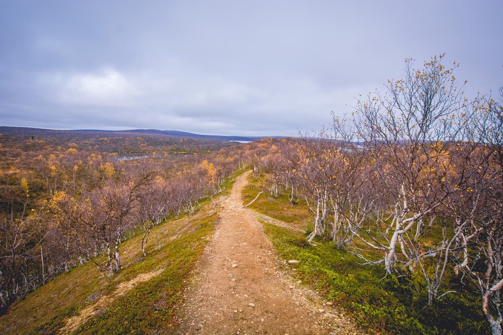
You can also hike from Kevo to Paistunturi. Remember, however, that you can only leave the reserve by the same way you enter it—on marked trails. In particular, you can do it by following the Kuivi Trail to Paistunturi.
There are also two marked hiking trails in Utsjoki that are 25 km (15.5 mi) and 35 km (21.7 mi) long. Read about them in the guide to Paistunturi Wilderness Area.
There are no marked skiing trails in the Kevo Strict Nature Reserve, but you can freely cross-country ski here. This is particularly true in the area of Kevo Canyon between October 16 and March 30.
You can also ski in the fell area one extra month until April 30. However, remember that this is a wilderness area. For winter outdoor recreation in the reserve, you will need even more orienteering skills, equipment, food, and physical endurance than in other seasons.
There is a small info point for the reserve that’s located in Utsjoki. It features information and tips on hiking in the Utsjoki region, including in the Kevo Strict Nature Reserve and in nearby wilderness areas:
Utsjoki Nature Information Hut
Miessipolku, 2, 99980, Utsjoki, Finland
+358206397792
There are two additional info boards located in Kenestupa and Sulaoja.
You can also visit a larger visitor center and museum that’s known as the “Siida.” This museum is located in Inari and it is the main museum of Lapland and the local Sami culture.
The Sami Museum and Northern Lapland Nature Centre “Siida”
Inarintie 46, 99870, Inari, Lapland, Finland
From June 1 to September 30
Open daily from 9 am to 5 pm
+358401689668
Museum tickets:
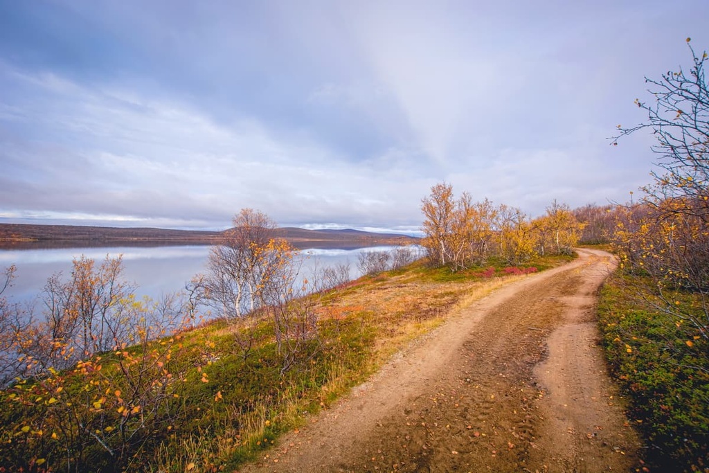
The main thing to know before visiting the Kevo Strict Nature Reserve is that you can only walk on marked trails, despite the fact that it is part of the Paistunturi Wilderness Area, where there are no marked trails and you can walk wherever you like.
However, there are also seasonal restrictions for hiking in the reserve. For example, you can only hike during these times in the two main areas in Kevo:
Making campfires and camping are also only permitted at points on the trails designated for those purposes. There are 20 of them in the reserve. They are located a couple of kilometers away from each other.
Unlike Finland's wilderness areas and national parks, the following activities are also forbidden at all times in the reserve:
It's always forbidden to catch or collect invertebrates, damage trees, leave garbage, let pets run freely, and so on, in the nature reserve.
Also note that, as Kevo is a reindeer herding area, you must remember to close the gates of the fences after passing through them. This is important so that the reindeer don’t escape.
Finally, keep in mind that the single emergency phone number in Finland is 112.
You will have no problem finding lodging in the reserve.
First, there are three open wilderness huts along the both Kevo Trail and the Guivi Trail, where you can stay for one or two nights:
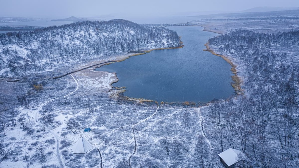
There is also the Njávgoaivi Open Wilderness Hut, which can accomodate 8 people, that’s located to the west of Kevo Reserve on the northwestern side of the Njavgoroáivi Fell (Nauguvaara).
Then, in some cases, you can stay in three Lapp Turf Huts—a kind of huts made in a traditional Lapland style with roofs covered by turf. These huts are the Akukammi Turf Hut, Fiellu Turf Hut, and Njaggaljavri Turf Hut. Note that these huts have no beds—only tables, benches, and a fireplace.
Finally, you can pitch a tent but only at designated places. There are 14 camping sites located inside the reserve and just outside of its boundaries.
Before and after your hiking adventure, in the village of Utsjoki, you can find other accommodation options. This includes parking lots for caravans. The village also has all of the basic services you might need, including different shops, a post office, and a health center.
Besides Inari and Utsjoki, which you can read about in the guides to Lemmenjoki National Park and Paistunturi Wilderness Area, Kaamanen and Karigasniemi are two smaller but important settlements on your way to the reserve that are well worth visiting.
These two villages both belong to the municipality of Inari. They are located to the south and west of the reserve and wilderness area.
Kaamanen and Karigasniemi are similar to each other in that they are Sámi villages, where the primary economic activities are reindeer husbandry and tourism. The population of Kaamanen is 200 people, and the population of Karigasniemi is slightly larger at 300 people.
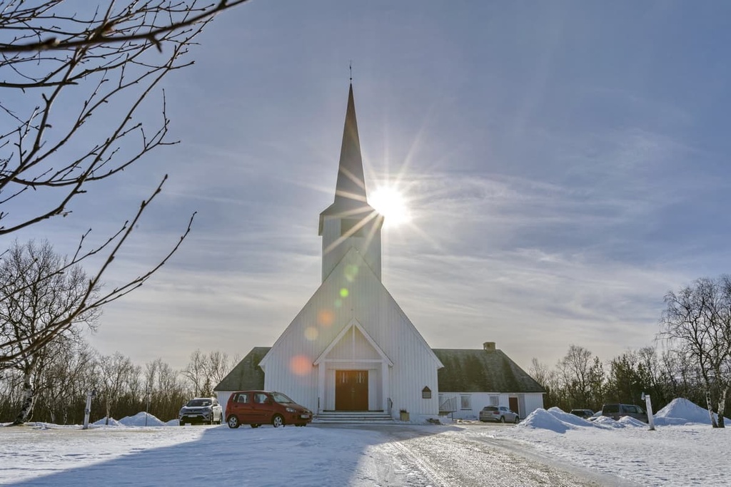
However, Kaamanen is known for being home to three main attractions:
Meanwhile, the three main sights of Karigasniemi are:
For more information, check out the official tourist website of the municipality of Inari: VisitInari.fi.
Explore Kevo Strict Nature Reserve with the PeakVisor 3D Map and identify its summits.


