Scan the QR code and open PeakVisor on your phone
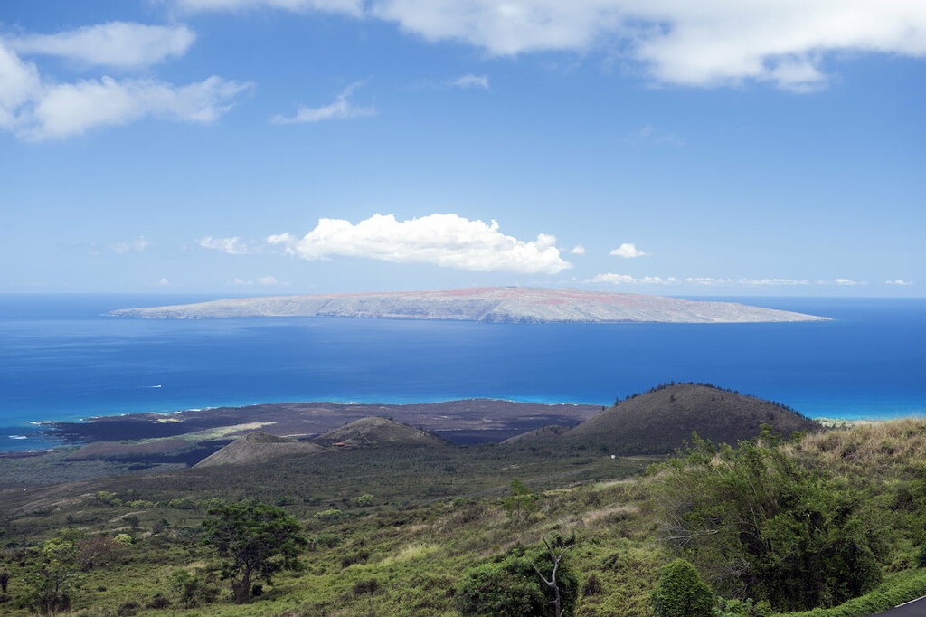
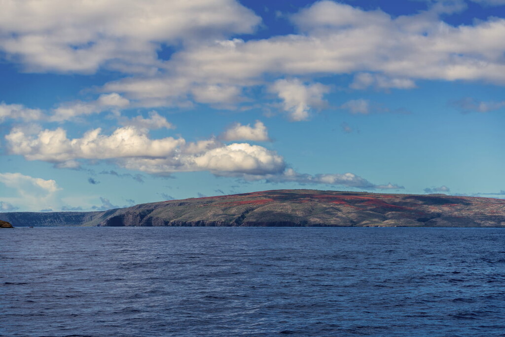
Encompassing all of the smallest main island in the US state of Hawaiʻi, Kahoʻolawe Island Reserve is a stunning natural landscape that holds particular cultural and spiritual importance to many Native Hawaiians. The island reserve contains 6 named peaks, the highest and most prominent of which is Pu'u Moa'ulanui on Lua Makika (1,463ft/446m).

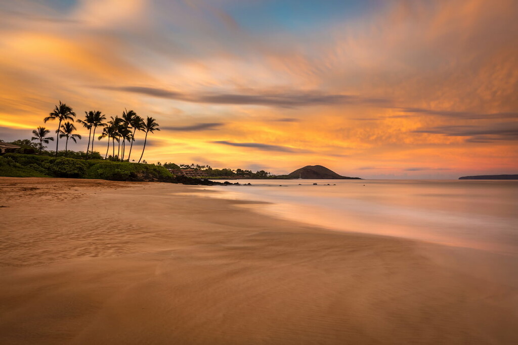
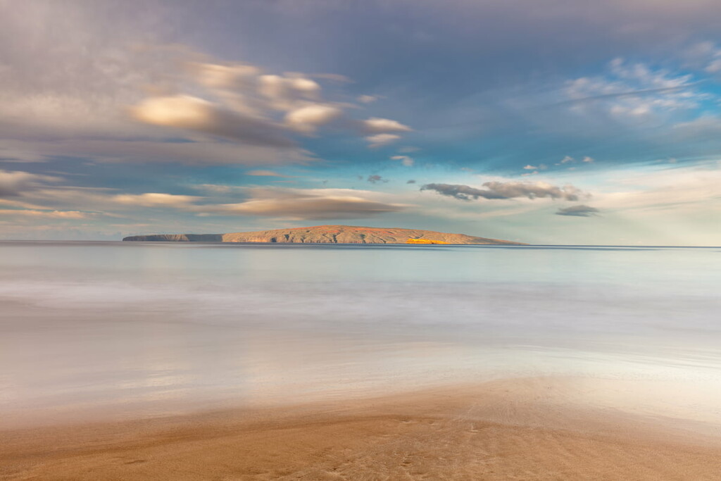
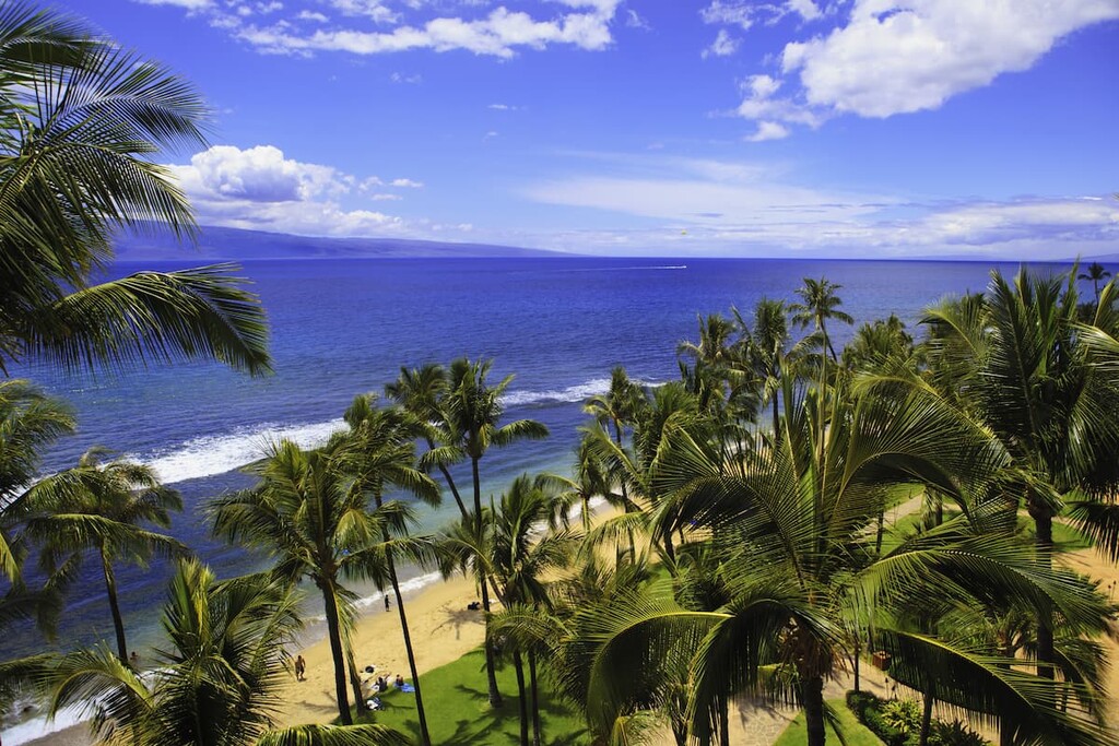
Located to the southwest of the Hawaiian island of Maui within Maui County, Kahoʻolawe Island Reserve includes the entirety of the island of Kahoʻolawe, as well as the waters in a 2 mile (3 km) radius of the island. It has a total land area of just 44.59 square miles (115.5 square km), which makes it the eighth largest of the eight main Hawaiian Islands.
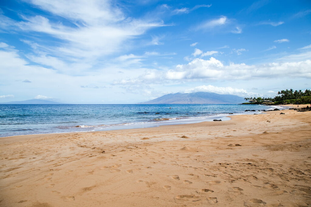
At its narrowest, the distance between Kahoʻolawe and Maui is just about 7 miles (11.3 km). The island itself is also about 11 miles (18 km) long and 6 miles (9.7 km) wide. However, due to the lack of freshwater on Kahoʻolawe and its small size, the island has no permanent human population and the only means of access to the island is by organized boat transfer from Maui.
The island of Kahoʻolawe is a part of the Hawiian Islands, which is an archipelago that formed as the Pacific Plate slowly moves northwest over a hotspot in the Earth’s mantle. This tectonic movement over an area where the mantle is substantially hotter than its surrounding area has led to the formation of the Hawiian Islands, which are steadily moving northwest away from the hotspot.
Due to this movement, the islands in the southeast of the archipelago (currently the big island of Hawaiʻi) are still in contact with the hotspot. As a result, they continue to be volcanically active, as is seen in Mauna Loa of Hawaiʻi Volcanoes National Park.
Meanwhile, the volcanoes on nearby Maui (including Puʻu ʻUlaʻula in Haleakalā National Park) and on Kahoʻolawe (including Pu'u Moa'ulanui) are considered to be either dormant (in the case of Puʻu ʻUlaʻula on Maui) or extinct, as in the case of Pu'u Moa'ulanui on Kahoʻolawe.
Indeed, the island of Kahoʻolawe is an extinct shield volcano that is believed to have formed during the Pleistocene epoch. Evidence of this volcanic past is seen throughout the island’s many basaltic lava flows and in the prominent crater that’s located on the eastern part of the island.
Major high points on the island include Pu'u Moa'ulanui, Pu'u Moa'ulaiki, Pu'u Moiwi, and Pu'u Kahua.
The ecology of Kahoʻolawe is somewhat tricky to discuss due to the widespread ecological degradation that took place on the island from the nineteenth to the late-twentieth centuries when the island was used for livestock grazing and as a military bombing range.
Nevertheless, the Kahoʻolawe Island Reserve Commission is in the process of completing a number of restoration projects on the island. These projects are currently focused on restoring a number of important watersheds on the island.
As part of these projects, a number of native and non-native plant species are being planted on the island in order to stabilize the soil and provide a fertile ecosystem for the regrowth of native species.
Another, more recent project, also seeks to eradicate invasive species from the island, which are decimating Kahoʻolawe’s natural ecosystems. The primary invasive species on the island at the time of the project’s initiation included both feral cats and rats.
Ideally, these projects will allow for the restoration of seabird and native wildlife populations on the island, such as the endangered Laysan duck or the nēnē (Hawaiian goose).
Although it is currently uninhabited, the island of Kahoʻolawe has a long and storied history of human inhabitation. Furthermore, the island is an important cultural and spiritual site for many Native Hawaiians.
It is believed that Native Hawaiians came to the island as early as 400 CE. Based on archeological evidence, it’s believed that these initial residents of the island established fishing villages along the coast, a practice that continued well into the eighteenth century.
In the late eighteenth century, the island of Kahoʻolawe also saw the birth of its first goat population. These goats were gifted to Chief Kahekili of Maui by Captain George Vancouver of Britain, alongside other livestock, such as cattle.
During the early-nineteenth century, the island of Kahoʻolawe became a penal colony. The practice of sending adult men to the island as a punishment, however, ended in the 1850s.
After the end of the penal colony, Kahoʻolawe then became a ranching area after the government of Hawaii issued its first ranching leases. Ranching quickly got out of control on the island, however, and overgrazing by cattle, goats, and sheep led to widespread soil erosion and environmental degradation.
One of the biggest turning points in the island’s history came in the aftermath of the attack on Pearl Harbor. After this attack, the US declared martial law in Hawaiʻi, which lasted for three years.
This declaration of martial law allowed the military to take control of Kahoʻolawe and use it as a bombing range for training and testing starting in 1941. The US government under President Eisenhower transferred the title to the island to the US Navy under the condition that it be returned in a habitable state when the military no longer needed it.
Long after the end of World War II, however, Kahoʻolawe was still under military control and was still being bombed on a regular basis. This led to a number of peaceful protests by members of Protect Kahoʻolawe who wanted to stop the bombing and protect the environmental and cultural richness of the island.
In 1981, Kahoʻolawe was listed on the National Register of Historic Places and in 1990, President George H.W. Bush ordered the end of bombing on the island.
A few years later, Senator Inouye of Hawaiʻi sponsored a bill that would transfer the island back to the state. As a result, Congress voted to end military presence on the island and they appropriated funds for ordinance removal. In 1994, the island was finally given back to the state of Hawaiʻi, though the transfer of access control wasn’t finalized until 2003.
Since then, a number of projects have been put into place to remove ordinances from the island and to restore its environmental and cultural heritage. The Kahoʻolawe Island Reserve Commission, alongside others, are currently working on a number of initiatives to restore this beautiful and culturally important island.
By law, Kahoʻolawe is off-limits to the general public, with a number of exceptions. The reserve was initially established to allow for Native Hawiian cultural, spiritual, and subsistence practices, the latter of which includes regulated subsistence fishing.
It is also protected for historical and environmental reasons and no commercial use of the island is allowed. Furthermore, there is still a very real danger of unexploded ordinances on the island, so access to Kahoʻolawe is restricted.
As a result, Kahoʻolawe Island Reserve is not open to the public unless visitors are volunteering with an organized group to help restore the island.
Volunteer work opportunities on the island are generally offered a few times a month, all year long. Most opportunities are organized through the Kahoʻolawe Island Reserve Commission and involve a 2 to 4 day commitment, including training and participation in restoration projects.
There is usually a fee involved with volunteering to help cover the cost of transportation from Kahoʻolawe to Maui. However, for anyone that wants to help contribute to the restoration of this stunning island, volunteering is an excellent option.