Scan the QR code and open PeakVisor on your phone
Junkerdal National Park (Norwegian: Børgefjell nasjonalpark) is a rugged national park situated in north central Norway. The park is known for its rare and varied flora and stunning landscapes. There are 61 named peaks with the tallest and most prominent being Nuortta Sávllo at 1,768 m (5,800 ft) tall with 1,029 m of prominence (3,376 ft).
Junkerdal National Park spans across north central Norway, along the country’s border with Sweden. The expansive park is known for its wide range of flora, some of which isn’t found anywhere else in the country.
The national park spans 682 square kilometers (263 square miles) across central Norway in Nordland county. Much of the terrain is defined by the Scandinavian Mountains that extend throughout much of Norway.
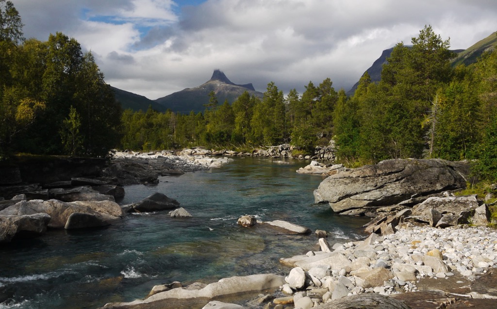
Junkerdal does not feature dramatic changes in elevation that are common along the west coast of the country. Within the park the rocky mountains rise more gradually while sweeping valleys and lakes stand between the peaks.
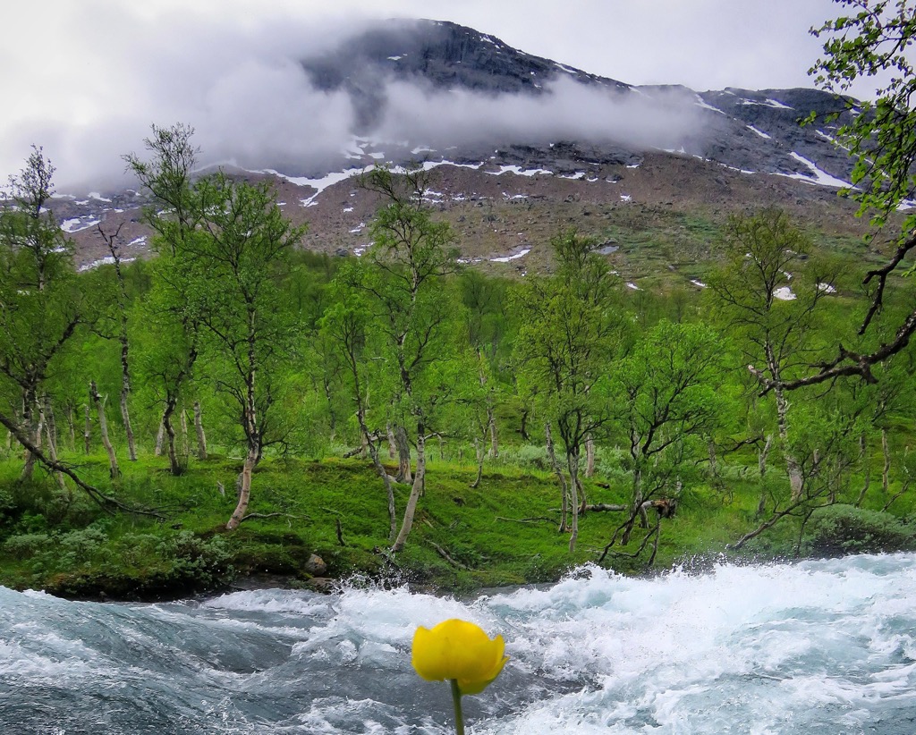
Lower elevations feature some tree coverage, though a majority of the park lies above the treeline. Though there is minimal tree coverage, the national park is known for its abundance of rare flora and fauna.
Near the center of the park lies Balvatnet (Lule Sami: Bállávrre), a major lake that spans 41.46 sq. km (16 sq. miles) across the region. Other large lakes found in the park include Låmivatnet and Muorkkejávrre. The land surrounding the lakes is characterized by more rolling hills.
Additionally, Junkerdal National Park is surrounded by other popular outdoor recreation areas. The Junkerdal Nature Reserve lies next to the park, helping the variety of flora and fauna thrive. Just west of the park lies the Saltfjellet-Svartisen National Park, while Rago National Park and Sjunkhatten National Park are situated to the north.
The peaks found within the park are part of the larger Scandinavian Mountains, a range that extends throughout Norway, Sweden and part of northern Finland.
This entire range began forming during the major mountain building event known as the Caledonian orogeny, which took place from 490-390 million years ago. The continents and terraces of Laurentia, Avalonia, and Baltica began to collide with one another due to tectonic shifting during this time.
Baltica and Laurentia collided around 420 to 505 million years ago during the Scandian phase of the Caledonian orogeny, which formed the base for the Scandinavian Mountains. The range was then thrust upwards during the Mesozoic era and again during the Oligocene.
Much of present-day Norway, including Junkerdal National Park, was covered in glaciers during the last ice age. Pressure from glacial retreating was less severe in the park than in the western stretches of the country. Signs of this glacial retreating can be seen through the sweeping valleys and craggy peaks in the park.
Much of the rock found in the park dates back to the Caledonian, consisting mainly of granites and gneisses. A majority of these rocks are much older than the peaks themselves.
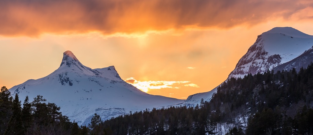
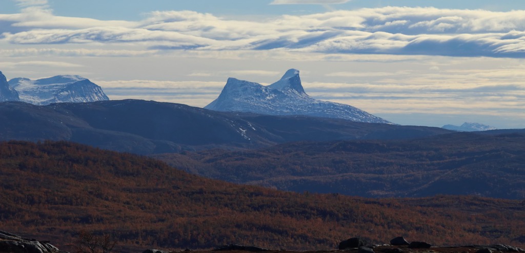
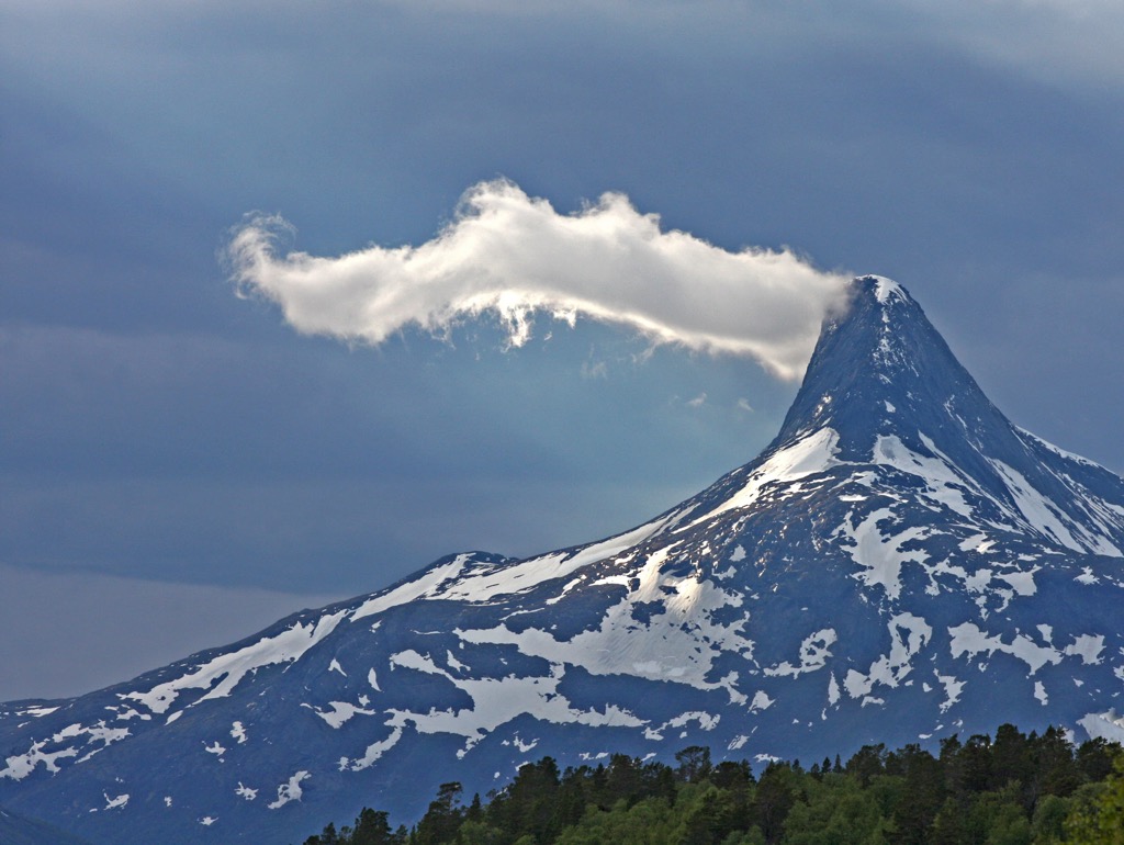
Major peaks within Junkerdal National Park include Nuortta Sávllo, Atertind, Bierdnacokka, Solvagtind, and Batfjellet.
The diverse array of flora in the region is what Junkerdal National Park is famous for. The lowest elevations in the park are forested, which quickly thin as elevations increase.
Many of the plant species found in the park are extremely rare including the Arctic mountain heather and the white mountain saxifrage. This type of saxifrage is only found in three places in Norway, with the highest density being found within the park.
Other unique plants in the park include bullrush sedge, alpine arnica, and snow fleabane. These plants are somewhat common in northern Norway but the national park marks the most southern place where they grow. A few other unique plants are the upright lousewort, hairy lousewort, and the Arctic bellflower.
Junkerdal National Park is also home to a wide range of fauna. Larger animals found in the park include brown bears, lynx, wolverines, moose, and reindeer. The park also offers a protected region for endangered and threatened birds such as the golden eagle, red-throated loon, Arctic loon, gerfalcon, and the long-tailed duck.
The land within and surrounding Junkerdal National Park has been inhabited by humans for thousands of years. This region marks part of the traditional territory of the Sami people (also spelled Sámi or Saami).
For thousands of years both the Sami and the Norse/Scandinavian people have inhabited parts of present-day Norway. Traditionally the Sami people lived in central and northern Norway while the Norse people lived along the southern coast of the country.
Despite their close proximity to one another, for centuries the two groups had little interaction with one another. The Sami people traditionally fished and hunted reindeer, with sections of the national park still used for reindeer grazing. The Norse people had a commerce centered around fishing, with established trading routes throughout Europe.
During the nineteenth century the Norse people began to aggressively assert land claims throughout the region and much of northern Norway. Despite their continual resistance, the Sami people were forced to attend Norse schools in order to assimilate. These mandates threatened the Sami peoples’ traditional way of life.
During the nineteenth century mining settlements in the area began to grow. From 1891 to 1991 mining occurred in the region in places such as Jakobsbakken as the area was discovered to be rich in numerous ore minerals, including copper and zinc.
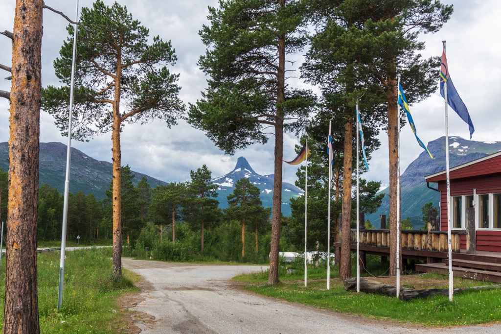
Since the closing of the mining industry in the area, Jakobsbakken has become a gateway to the national park and a hub for cross country skiing. The national park was established in 2004 in order to further protect and preserve the biodiversity of the region.
Today both Norwegian and Swedish Sami communities use the land for reindeer herds throughout the year.
Junkerdal National Park is home to a few trails for hiking and outdoor recreation. Here are some of the most popular trails in the region:
The Solvågtind trail lies along the southern edge of the national park along the Junkerdalselva. This route climbs steadily throughout the forested hillsides before eventually climbing above the treeline.
Once near the summit, hikers can see the entire national park extending to the north. Just north of the peak lies the lake of Solvågvatnet, along with a series of smaller lakes. This challenging out and back route is 18 km (11 miles) in length and features 1,464 m (4,803 ft) of total elevation gain.
This trail begins at the northern edge of the national park and winds around the western edge of Balvatnet. This section of trail is part of the larger E1 Norge Trail, a long distance path that spans across Norway, Sweden, Denmark, Germany, Switzerland, and Italy.
This section of the long distance trail is often completed as a point-to-point route but can also be used as an out and back trail. The trail does not feature any major climbs but has relatively no flat sections. Hikers have views of Balvatnet throughout the route which totals 19 km (12 miles) in length and features 477 m (1,564 ft) of elevation gain.
Balvasshytta - Argaladhytta: E1 Norway 60
This portion of trail is a continuation of the E1 Norge Trail that passes through the park. The routes can be connected by beginning at the southern edge of Balvatnet. This path then travels south, following along the Skaitielva and its numerous tributaries.
Hikers begin by climbing steadily away from the lake with a series of small hills before beginning to slowly descend. This point-to-point trail is 10.4 km (6.5 miles) in length and features 232 m (761 ft) of elevation gain.
Looking for a place to stay near the Junkerdal National Park? Here are some of the best cities and villages to check out in the region:
The small settlement of Jakobsbakken (also known as Bakken) lies just outside the Junkerdal National Park. At its height, the village was home to 400 people when it was the base for mining in the region.
Today the quaint area lies just a 90 minutes drive from Bodø Airport. After the closing of the mines in the area, Jakobsbakken has transformed into a small mountain resort, home to some of the best cross-country skiing trails in the country. Visitors can enjoy a relaxing and quiet stay all while being in close proximity to the national park.
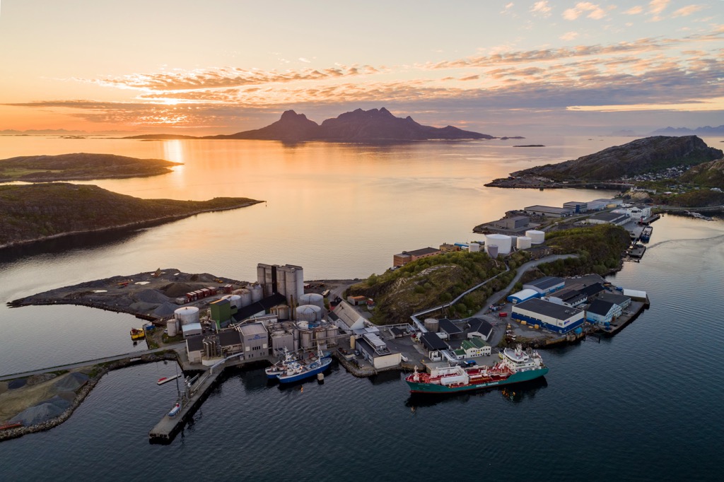
The town of Bodø lies northwest of the national park and acts as the administrative center for Nordland county. Bodø lies along the Bodø peninsula situated between the Vestfjorden and the Saltfjorden. Home to around 56,000 residents, the town marks the second most populous area in northern Norway.
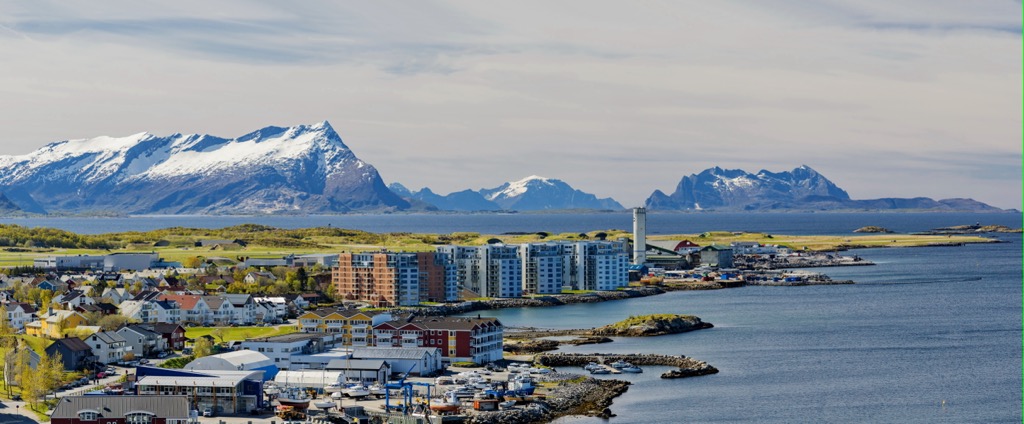
Bodø lies just north of the Arctic circle and is known for its stunning countryside and sandy beaches. Popular sites in the town include the Bodin Church and the Bodø Cathedral, which was constructed after the original was destroyed in World War II. The Kjerringøy trading post marks the best preserved trading post in the country, showcasing part of Norway’s history.
Besides the stunning beaches and quaint downtown, the waters of Bodø are home to the Saltstraumen maelstrom. Spanning ten meters (33 ft) across, this marks the world's largest maelstrom/ whirlpool.