Scan the QR code and open PeakVisor on your phone
Itcha Ilgachuz Provincial Park is a sprawling, diverse wilderness located in the Cariboo Regional District of British Columbia, Canada. There are 25 named peaks in Itcha Ilgachuz Provincial Park. The park’s highest and most prominent peak is Ilgachuz Range (2,410 m, 7,907 ft).
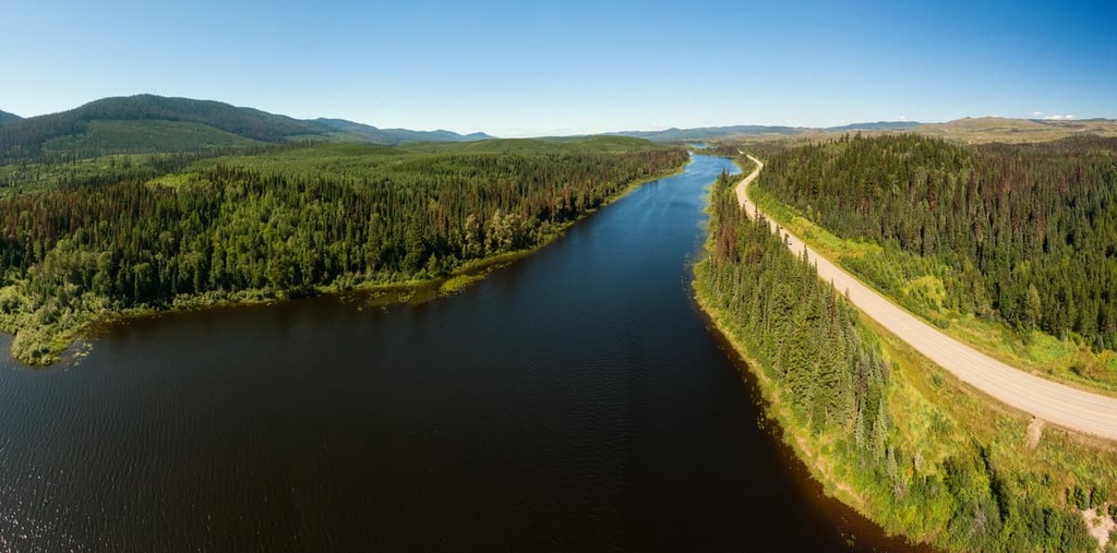
Itcha Ilgachuz Provincial Park is a protected area located in the remote West Chilcotin Uplands of the Canadian province of British Columbia. It is located nearly 200 km (124 mi) to the east of Quesnel, the closest major town to the park.
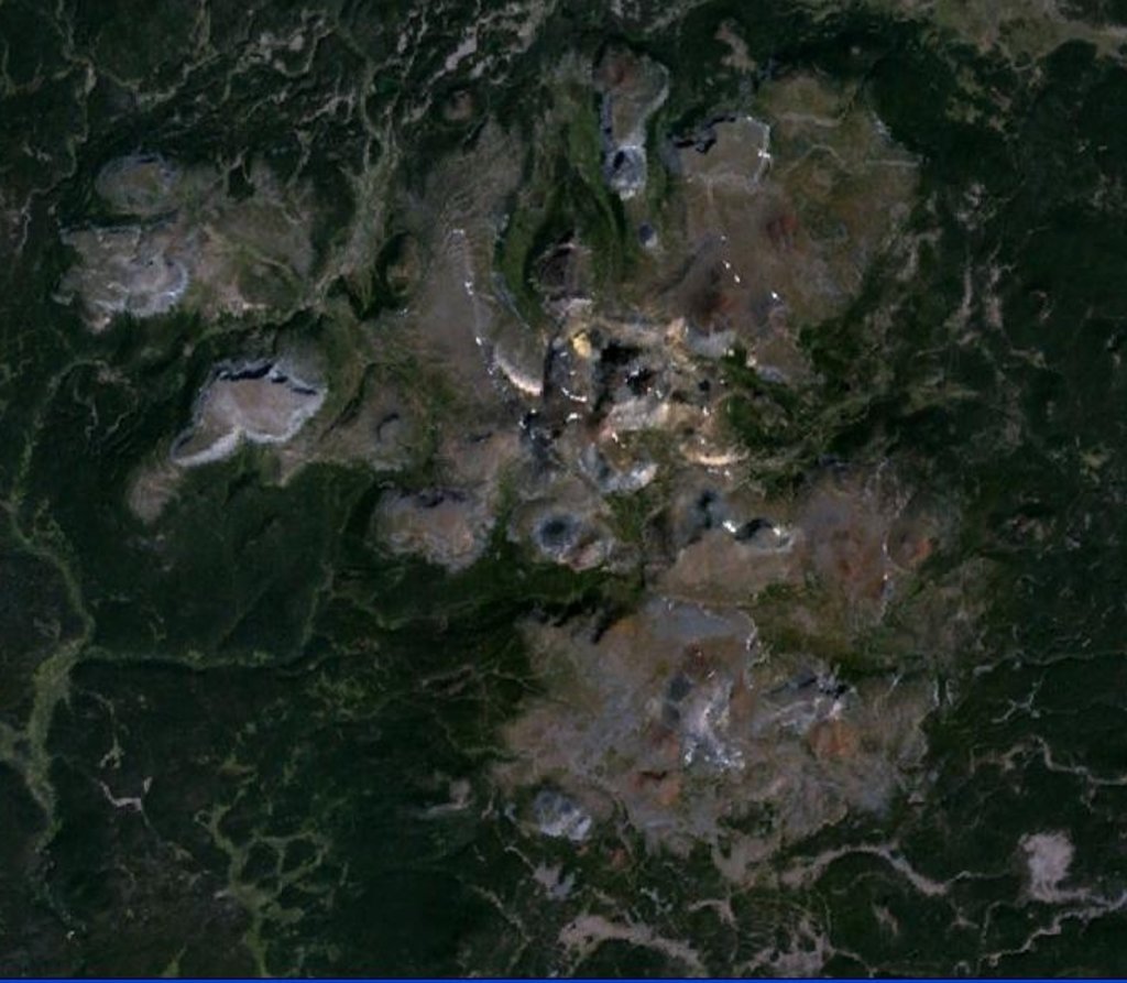
The remote Itcha Ilgachuz Provincial Park covers 1,100 sq. km (425 sq. mi) of land and consists of the two main mountain ranges that give the park its name: the Itcha Range and the Ilgachuz Range. Both are not mountain ranges in the traditional sense, as they formed from single, now-extinct shield volcanoes that have eroded into distinct peaks over the course of millions of years.
The ranges of Itcha Ilgachuz Provincial Park lie within the rain shadow of the Coast Mountains. The unique geography, remoteness, and volcanic geology of the park all contribute to high ecological diversity in the region, which includes a unique grassland ecosystem that’s found nowhere else in central British Columbia.
To the west of Itcha Ilgachuz is the Rainbow Range of Tweedsmuir Provincial Park, one of the largest parks in British Columbia. Meanwhile, to the north of Itcha Ilgachuz lies Entiako Provincial Park. To the south of the park is Highway 20 and the small community of Anahim Lake.
As there are no roads within the park, overland access to the range is typically limited to a single point that’s located approximately 18 km (11 mi) north of Anahim Lake on Lessard Lake Road.
From there, you have to make a journey of about 64 km (40 mi) on a rough gravel road followed by hours of hiking or horseback riding just to reach the park boundaries. Due to the remote nature of the region, prospective travelers should check on road conditions at the BC Parks visitor center in Williams Lake before heading to the park.
The Itcha Range and Ilgachuz Range are isolated shield volcanoes that formed between 5 and 2.5 million years ago as a result of the Anahim hotspot. This hotspot is a plume of magma thought to be the source of the Anahim Volcanic Belt, which stretches from the coastal town of Bella Bella in the west to Quesnel in the east.
The Ilgachuz Range is the second-largest of the three shield volcanoes in the Anahim Volcanic Belt, behind the Rainbow Range of Tweedsmuir Provincial Park. Three major magmatic episodes built up domed piles of lava and fragmental rocks to a height of over 2,400 m (7,873 ft) at Far Mountain in the Ilgachuz Range and 2,365 m (7,760 ft) at Mount Downton in the Itcha Range.
The Ilgachuz Range Ecological Reserve, which is located within the park’s boundaries, showcases a number of excellent examples of recent volcanic activity. In particular, it features a cinder cone, talus slopes, boulder fields, columnar basalt, and large lava flows.
Additionally, the Ilgachuz Range is approximately 24 km (15 mi) in diameter, while the Itcha Range is around 16 km (10 mi) wide. They were initially formed by trachyte and rhyolite eruptions that were followed by basaltic lava flows. The now-dormant volcanoes are composed of a variety of other rock types as well, including basanite, hawaiite, phonolite, and alkali olivine basalt.
The volcanoes were also a vital source of obsidian for the Southern Dakelh (Carrier) and Tsilhqot'in First Nations. Obsidian has been used for centuries to make arrowheads, knives, and jewelry.
The park’s names translate loosely as “mountains abundant with wildlife.” Itcha Ilgachuz continues to live up to that name as its unique alpine grasslands, wetlands, and forests are critically important habitats for a wide variety of plant and animal species, including one of the largest herds of woodland caribou in British Columbia.
The park is also home to some of the northernmost herds of California bighorn sheep in North America. Other mammals found in the park include wolves, cougars, black bears, grizzly bears, mule deer, moose, mountain goats, martens, red foxes, wolverines, bobcats, and lynx.
Near Itcha Lake, in the park’s northeast corner, is a grassland ecosystem dominated by Altai fescue and various lichen species. This unique grassland is not found elsewhere in central and southern British Columbia. These fragile lichen communities are also an important part of the caribou’s diet and the health of these lichens is critical to the ongoing success of the caribou herd in the region.
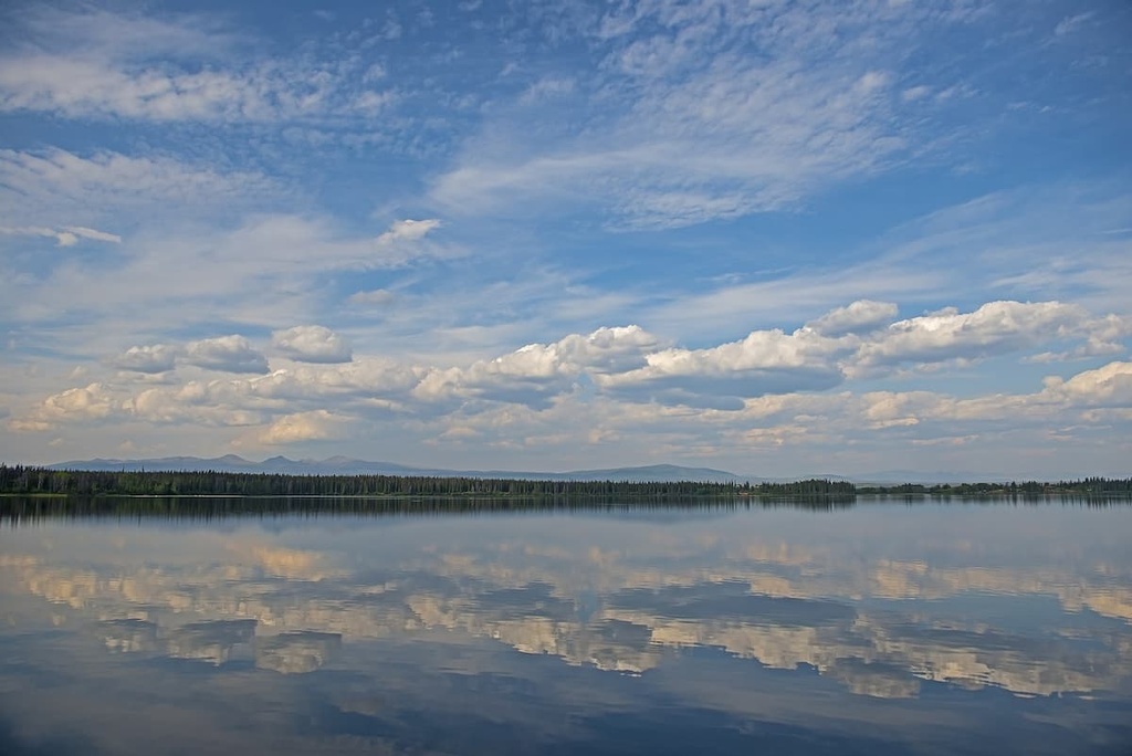
The Itcha and Ilgachuz Ranges are also surrounded by vital salmonid spawning rivers. Itcha Lake is home to important populations of rainbow trout and bull trout, but the nature of the region’s steep volcanic terrain limits fish habitat within the park itself.
Itcha Ilgachuz features both Engelmann Spruce-Subalpine Fir and Alpine Tundra ecosystems. The Ilgachuz Ecological Reserve within the park is particularly unique as many plants reach their northern or southern limits here, creating a singular mix of vegetation found in few other parts of British Columbia. Iceland koenigia, milky draba, and Payson’s draba are some of the rare plant species found in the park.
The lands surrounding and within Itcha Ilgachuz have been inhabited by the Southern Dakelh (Carrier) and Tsilhqot'in First Nations and their ancestors for millennia.
Traditionally Dakelh and Tsilhqot'in bands, such as the Ulkatcho, Kluskus, Alexis, Creek, and Nazko, practiced a nomadic lifestyle called the “seasonal round.” They traveled as needed to secure food and resources, a lifestyle still followed by some First Nations in north-central British Columbia to this day.
Many First Nations traditionally used the land now known as Itcha Ilgachuz Provincial Park to hunt and trap animals like beaver, caribou, and moose and to gather edible plants and obsidian. Seasonal fishing camps were also located nearby.
European settlement of the region began in the early 1900s. From the coastal fishing town of Bella Coola, settlers moved inland throughout the Chilcotin Plateau, establishing ranches near Itcha Ilgachuz.
The Blackwater Trail is a historic supply route that passes through the two mountain ranges of the park. It was used as a transportation route for cattle from the Home Ranch to Anahim Lake. Evidence of these supply routes can still be seen throughout the area.
In 1995, the park was recommended for protection as part of the Cariboo-Chilcotin Land-Use Plan. It was then designated as a Class “A” Park, limiting development in the park to low-impact recreational opportunities.
The remote and roadless nature of the Itcha Ilgachuz means getting to the park is challenging, but highly rewarding.
There are endless opportunities for hiking, backpacking, horseback riding, fishing, hunting, and ski touring in the region. The colorful and dynamic Itcha and Ilgachuz mountains are mesmerizing, and chances for wildlife sightings in the park are high.
There are no roads into the park, so just getting there is a journey in itself. Most people who travel to the park do so via horseback, helicopter, or ski plane. All of the trails in the region are unmaintained and unofficial as the provincial park often sees fewer than 100 visitors a year.
Because of the undeveloped and seldom-visited nature of the park, most excursions into Itcha Ilgachuz are through local guide services. Six Mile Ranch is one of the outfitters of choice in the region. They lead trail riding and horse-assisted hiking expeditions through the park’s two mountain ranges, offering a trip of a lifetime for hikers and photographers alike.
Visits to Itcha Ilgachuz often include a stop at the backcountry cabins at Itcha Lake—the only backcountry facilities in the entire park. The cabins are used as a basecamp for hikers, fishers, and skiers visiting this isolated but extremely rewarding part of British Columbia. As they are incredibly remote, access to the cabins is by horse or helicopter in the summer and snowmobile or ski plane in the winter.
The Cariboo Regional District covers a vast expanse of land including Itcha Ilgachuz Provincial Park. As a result, major population centers in the area are limited, which is part of the region’s allure for locals and visitors alike. Here are some of the towns located closest to Itcha Ilgachuz Provincial Park that you can check out during your next trip to the region.
The town of Quesnel is located approximately 200 km (124 mi) to the east of the park on Highway 97. It is the hub of the Cariboo Regional District and is renowned for its access to the endless hiking, mountain biking, and canoeing opportunities that surround the town.
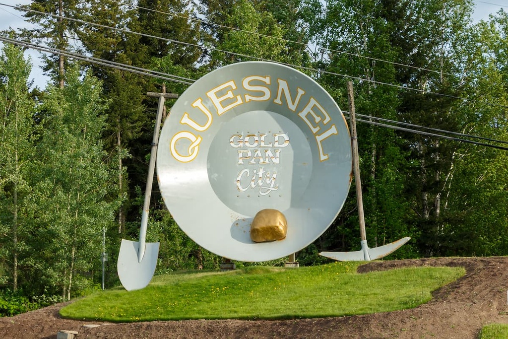
Visitors to Quesnel can stay at the Mountain Thyme Guest House to take in the outdoorsy, mountain charm that defines the town.
Anahim Lake is a small town located along Highway 20, just to the south of Itcha Ilgachuz. It serves as the home base for some of the tour guides that operate in the park.
The site of an old Tsilhqotʼin settlement, Anahim Lake is an outdoor lover's paradise. It serves as a gateway for both Itcha Ilgachuz and Tweedsmuir Provincial Park.
World-class boating, fishing, horsepacking, and hiking opportunities surround the town in every direction. Accommodation options in town include the rustic Eagle’s Nest Resort on the shores of Anahim Lake. Many campgrounds are also located nearby, like Escott Bay Resort.
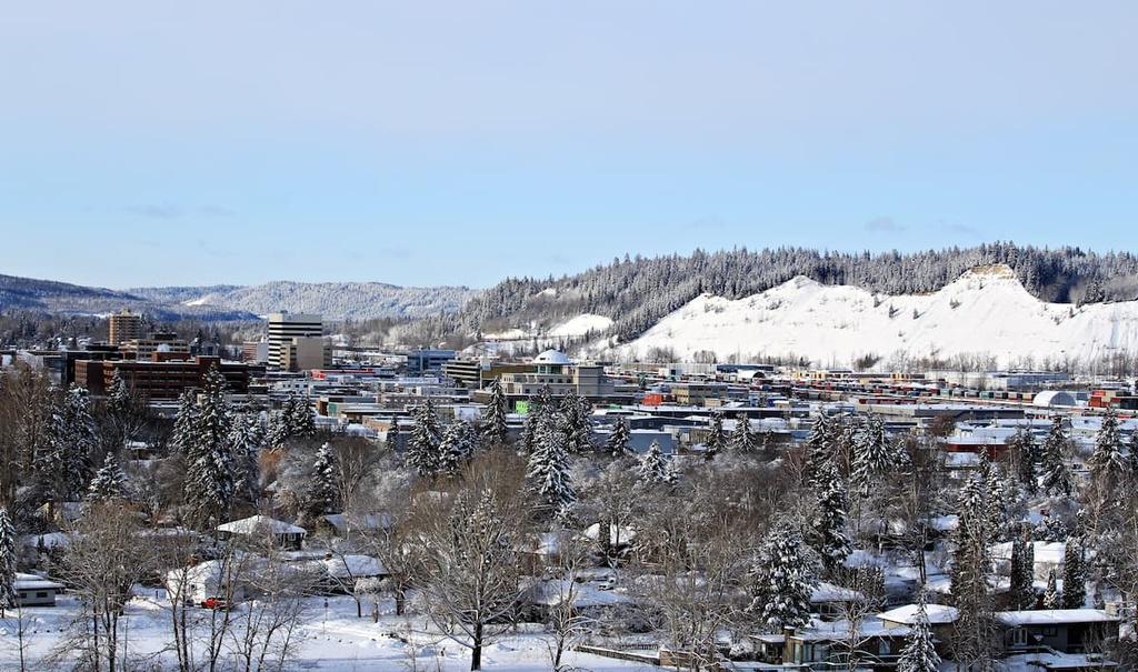
Known as the “capital of northern British Columbia,” Prince George is the largest city in the northern half of the province with a population of around 74,000 people.
As it is situated to the north of Quesnel, Prince George is not located particularly close to Itcha Ilgachuz. But as it is located at the intersection of two major highways (97 and 16) and since it boasts a regional airport with direct flights to major Canadian cities, Prince George often serves as a hub for adventurers visiting north-central British Columbia.