Scan the QR code and open PeakVisor on your phone
The Hyalite-Porcupine-Buffalo Horn Wilderness Study Area is located in south central Montana, USA. It is one of nine wildlife study areas (WSA) in Montana and lies within Gallatin National Forest, running approximately 36 mi (60 km) long and four to 12 mi (6 to 20 km) wide. There are 31 named mountains within the WSA. Mount Chisholm is the tallest at 10,335 ft (3,150 m) and has a prominence of 2,011 ft (613 m). The second tallest is Mount Bole with a height of 10,328 ft (3,148 m) and a prominence of 699 ft (213 m).
One of nine wildlife study areas (WSA) set aside by the state of Montana in 1977, the Hyalite-Porcupine-Buffalo Horn Wilderness Study Area spans 155,000 acres (62,726 hectares) across the northern Gallatin Range between Gallatin and Yellowstone Rivers within Gallatin National Forest. From Hyalite Peak it extends south to the northwest corner of Yellowstone National Park. It is located in Gallatin County, Montana.
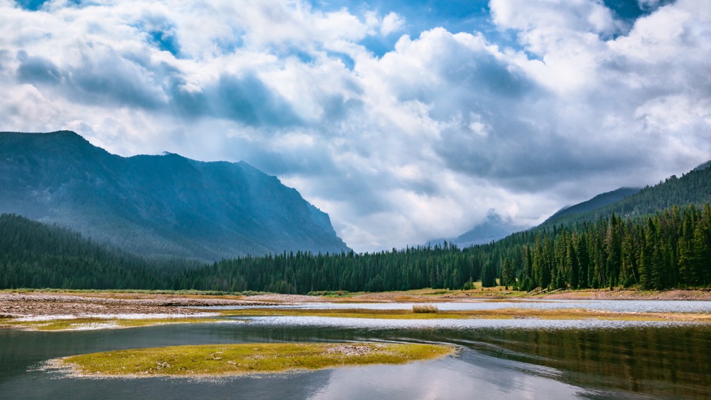
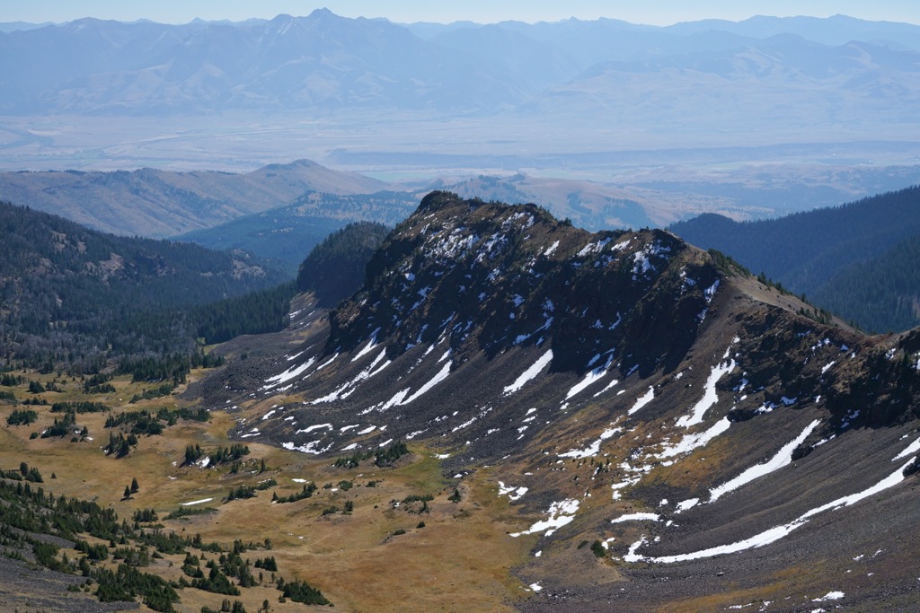
The landscape encompasses valleys, cirque basins, and jagged peaks ranging from 5,500 ft (1,675 m) to 10,300 ft (3,140 m) in elevation. As a wilderness study area, it does not yet have the same protections and land use restrictions as officially designated wilderness areas. Rather, it is an interim step to becoming a wilderness area. Studies are done to measure the ecosystem integrity in order to show it could be worthy of official wilderness status.
The tallest mountains in the Hyalite-Porcupine Buffalo Horn Wilderness Study Area are Mount Chisholm (10,335 ft/3,150 m), Mount Bole (10,328 ft/3,148 m), Hyalite Peak (10,312 ft/3,143 m), and Ramshorn Peak (10,299 ft/3,139 m).
The Gallatin Range is a subrange of the Greater Yellowstone Rocky Mountains. It is primarily composed of gneisses dating back 3.8 to 2.7 billion years. Paleozoic and Mesozoic sedimentary rocks like limestone, shale, and sandstone overlay the metamorphic core.
Igneous intrusions are present throughout much of the sedimentary layers. The tectonic plate collision that uplifted the range occurred during the Cretaceous period. However, much of the landscape was shaped into its present state by glaciers during the Pleistocene.
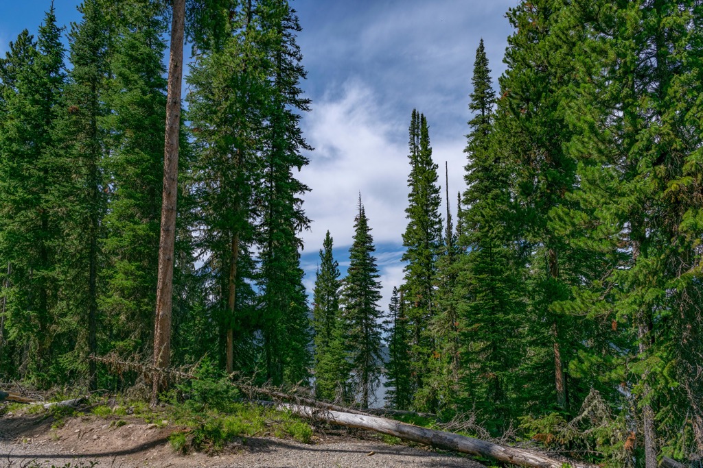
Vegetation zones with the WSA run from grassland to Douglas fir and/or limber pine, to lodgepole pine, spruce, and subalpine forest as elevations increase. The highest elevation forests have whitebark pine and the alpine zone has either tundra or turf. Huckleberries grow abundantly in the forest here. A few threats to the ecosystem include mountain pine beetles, dwarf mistletoes, spruce budworm, and white pine blister rust.
Seven species have been identified as focal species for measuring the functioning and health of the ecosystem – bighorn sheep, mountain goats, cutthroat trout, elk, grizzly bears, wolverines, and pikas. Other important species include Columbia spotted frogs, boreal toads, lynx, moose, beavers, and fishers. These species are important because they have been studied in nearby areas, are sensitive to climate and land use change, and sufficient data exists to study their status within the WSA.
The Gallatin elk herd, numbering some 5,000 - 6,000, summers in the high country here and spends the winter at lower elevations. Common birds in the ecosystem include robins, chickadees, nutcrackers, warblers, juncos, ravens, and vultures.
The Gallatin Valley has supported human life for more than 12,000 years, evidenced by a skull found that dates back to the time of the Clovis tribe. In the modern era, the valley never belonged to one single tribe and was shared by many including the Blackfeet, Crow, Northern Cheyenne, Salish Kootenai, Bannock, Lakota, Nez Perce, Flathead, Sioux, and Shoshone tribes. As settlers arrived during the mid-1800s, Native Americans throughout the region were forced off their lands.
Congress passed the Montana Wilderness Study Act in 1977, creating nine total WSAs including the Hyalite-Porcupine-Buffalo Horn Wilderness Study Area. At the time, about 55,000 acres (22,258 hectares) within this WSA were privately owned. Since then, the Forest Service has acquired over 37,000 acres (14,973 hectares). Wilderness areas are defined by four qualities – “untrammeled, natural, undeveloped, and solitude or a primitive and unconfined type of recreation.” Ongoing studies on the WSA measures these qualities via a host of ecosystem indicators.
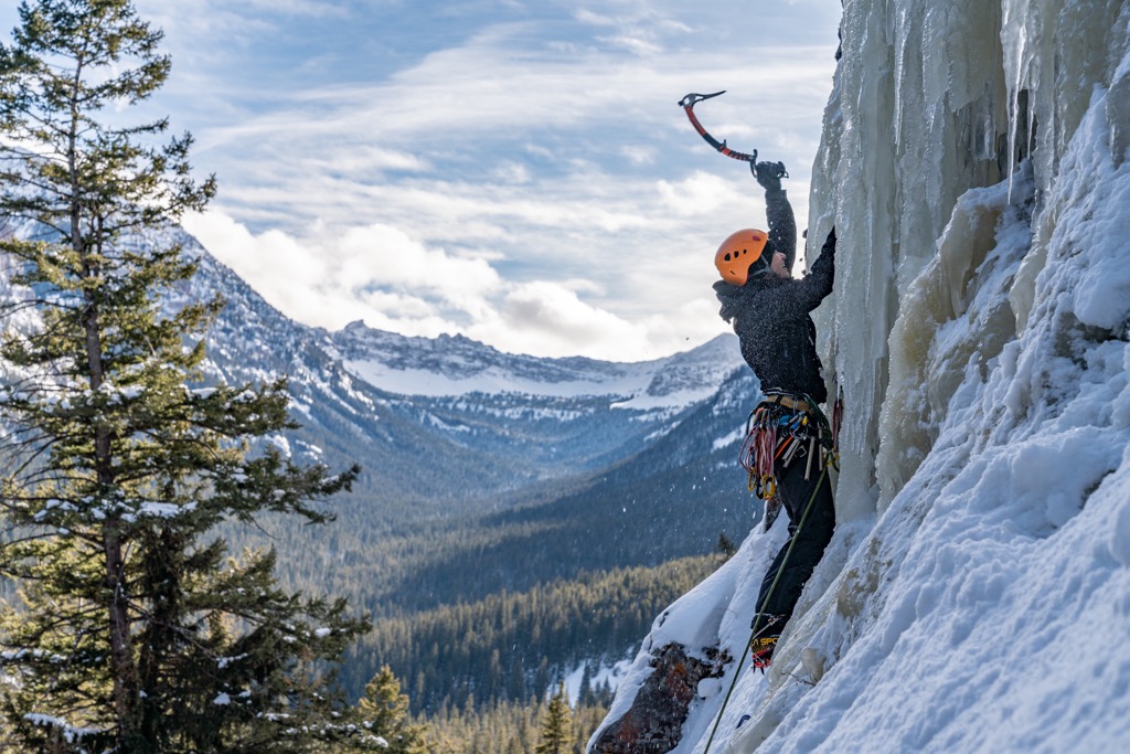
Recreators should be aware that grizzly and black bears live in this ecosystem and it is important to be bear aware and practice proper food storage techniques if camping out.
There are no official trails leading to some of the tallest peaks in the WSA. Mount Chisholm can be summited by experienced climbers. Mount Bole does not have an official trail but can be reached by starting in meadows north of Arden peak and ascending to the northwest.
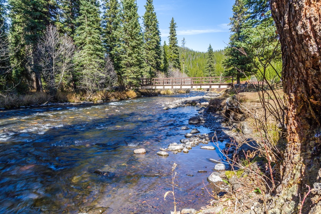
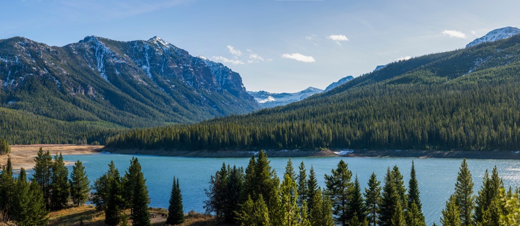
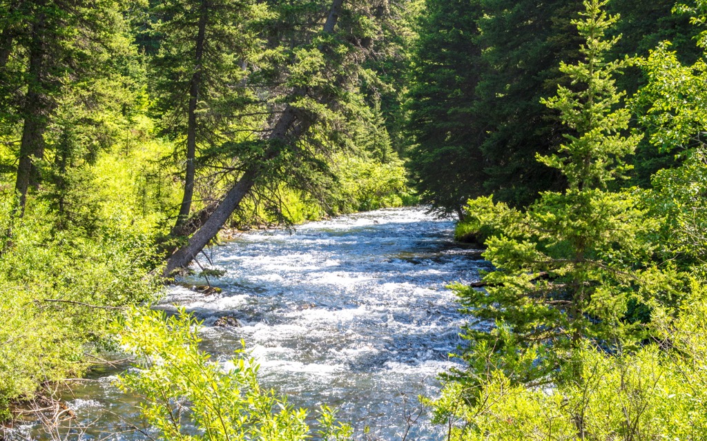
To summit the third tallest peak in the WSA (10,328ft/3,148 m), you’ll travel 14.5 mi (23 km) on an out and back trail that gains nearly 3,500 ft (1,065 m) in elevation. The trail is popular amongst hikers and backpackers so you are likely to see other people during the peak season of July through October. The first half of the trail is forested so there is shade, and there is a lake, streams, and waterfalls along the way. This is a challenging route and typically takes 8 hours to complete.
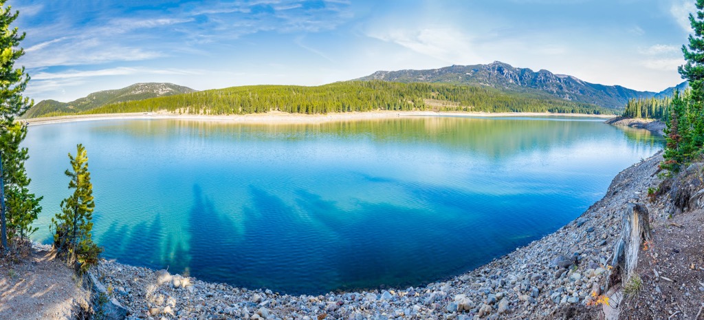
Hitting two lakes in one go, this 10.5 mi (16.9 km) out and back trail gains 2,165 ft (660 m) in elevation. From this trail, climbers can continue on to reach the summit of Mount Chisholm. Snowpack can remain until late into the summer season. This trail is popular for hiking, backpacking, and fishing and offers great views all along the trail.
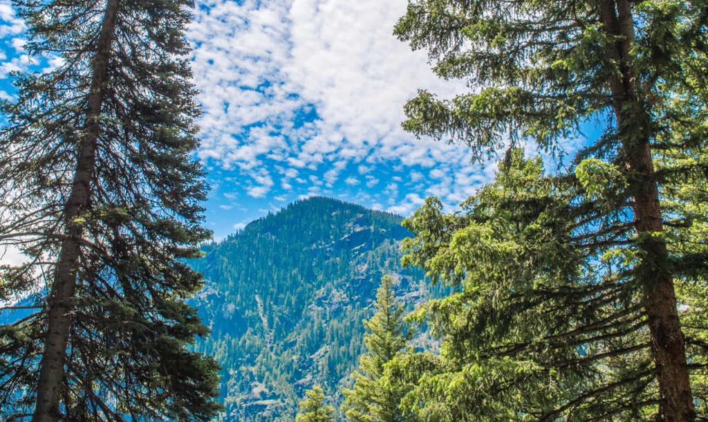
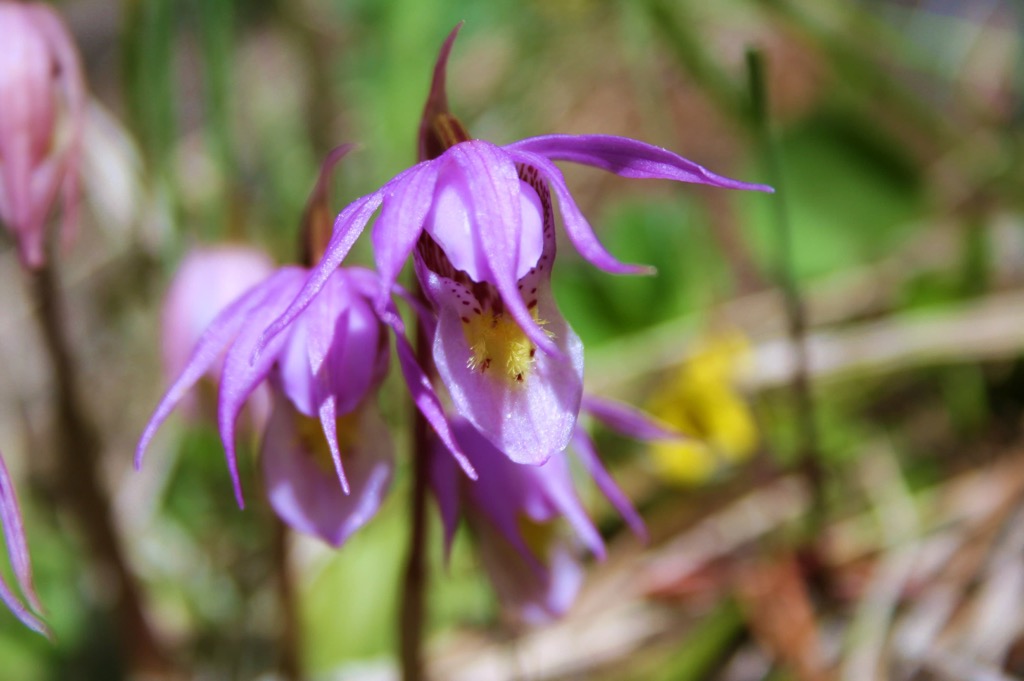
This 7.7 mi (12.4 km) loop trail gains about 2,000 ft (610 m) elevation. In summer wildflowers grow abundantly along the trail but, as with the Emerald and Heather Lakes Trail, snow may remain at higher elevations until late in the summer. There are a few stream crossings and incredible views from the top. Visitors should note that the road to the trailhead is rough, so high clearance vehicles are best or allow extra time for slow going to reach the parking lot.
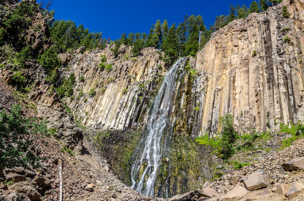
Palisade Falls is a 1.1 mi (1.8 km) out and back trail. The path is paved, making it accessible to wheelchair users and strollers. The trail gains less than 250 ft (76 m) in elevation and leads to a lookout point in front of the falls. The falls cascade 80 ft (25 m) from a vertical rock wall at the base of Palisade Mountain.
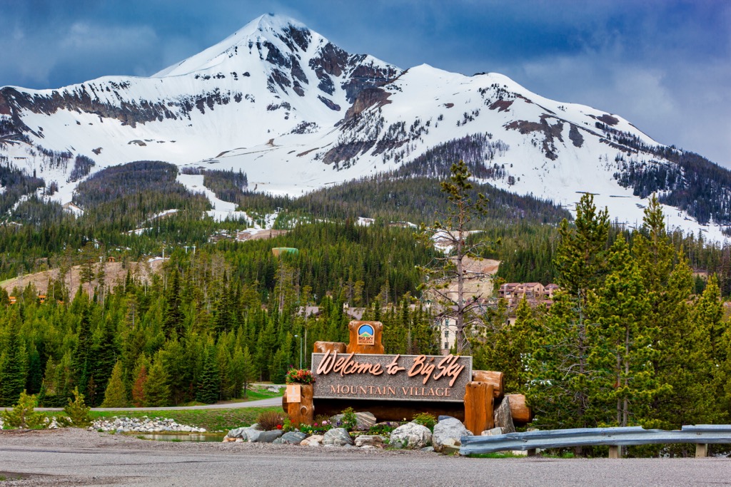
The Hyalite-Porcupine-Buffalo Horn Wilderness Study Area is located south of Bozeman and north of West Yellowstone at the western entrance to Yellowstone National Park. The small but scenic town of Big Sky lies just west of the WSA. Gallatin County has many designated campsites and reservations can be made online. Many areas also allow for dispersed and backcountry camping.
Bozeman’s population is 50,000 and the small city sits in close proximity to world class ski resorts, hundreds of miles of trails for hiking, biking, and snowmobiling, and flowing rivers to fish in. There are plenty of guest ranches in the area and ample opportunities for horseback riding.
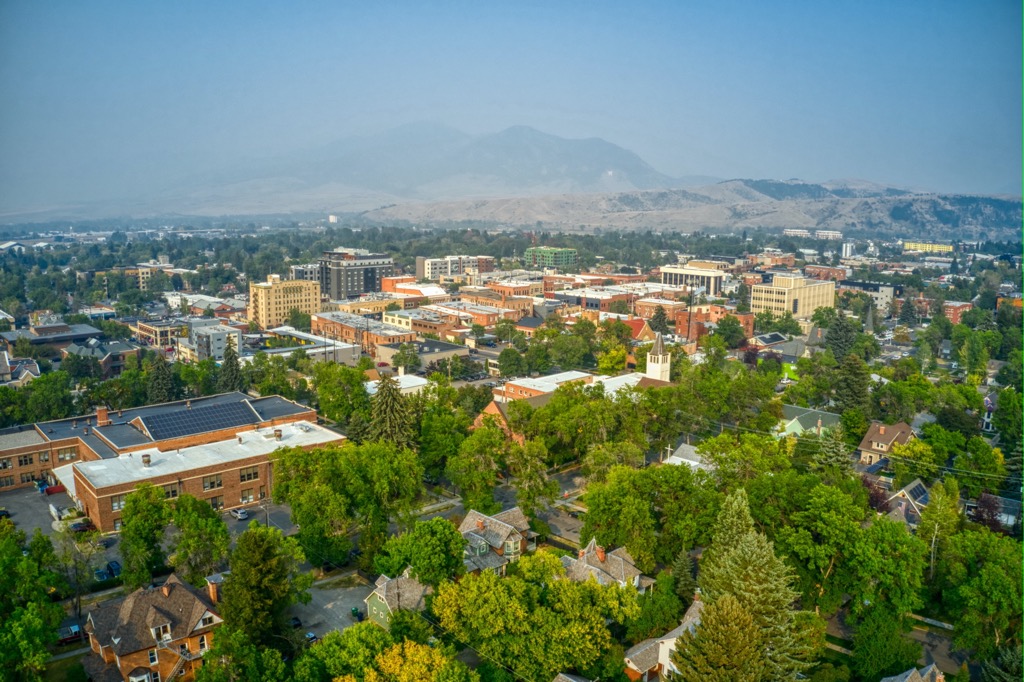
The city is alive as well with a blend of western tradition and fresh perspectives. Check out galleries, concert series, and museums while you explore downtown. There is a wide selection of restaurants from classic grills, to fine dining, to breweries and food trucks. Take your pick of accommodations – camp out near the city, find a cozy B&B, opt for classic hotels, or rent a scenic cabin property.
With a year round population hovering around 1,000, West Yellowstone explodes in summer as thousands of people pass through to enter Yellowstone National Park through its western gate. The quaint downtown is brimming with souvenir shops and has a decent restaurant selection from American classics to Spanish tapas.
Besides easy access to the national park, there are plenty of trails around town perfect for hiking, biking, and trail running. Go fishing in one of the nearby rivers. It is only a short drive from town to cross the state border and go hiking in Idaho.
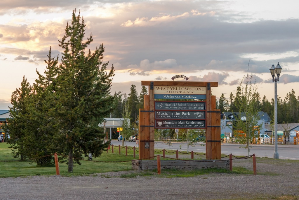
There are hotels, motels, and B&Bs within town, or camp sites, cabin rentals, and guest lodges surrounding town to stay over in.
Big Sky is a small town with tremendous opportunities for outdoor recreation. People flock to the resorts near town to ski in winter and summer draws in whitewater rafters, hikers, and fishermen. Those looking to take it easy in nature will not be disappointed by the summer wildflowers and abundant wildlife viewing.
To stay over here, there are a few hotel options, rental cabins, and nearby lodges and resorts. You’ll find a selection of breweries, bakeries, and a variety of cuisines and many restaurants offer locally-sourced wild game and fresh foods.