
Scan the QR code and open PeakVisor on your phone
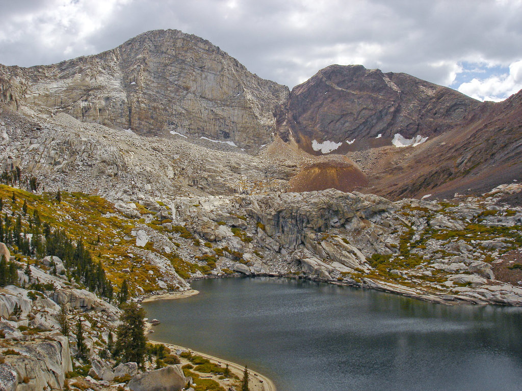
Tucked within both Inyo National Forest and Sequoia National Forest, Golden Trout Wilderness encompasses 303,511 acres of dazzling lakes, serrated peaks, and lush meadows.
Protected in 1978 to protect California’s state freshwater fish, the golden trout, Golden Trout Wilderness is the southernmost unit in a series of contiguous forest wilderness and national park backcountry areas that stretch along the crest of the Sierra. The Wilderness sits in what is known as the Kern Plateau, a 500,000-acre plateau that is bordered to the north by Sequoia National Park and the John Muir Wilderness.
Kern Peak, an 11,400-foot summit, serves as the centerpiece to the Kern Plateau, a large tableland that encompasses acres of sprawling meadows, narrow grasslands, and forested ridges.
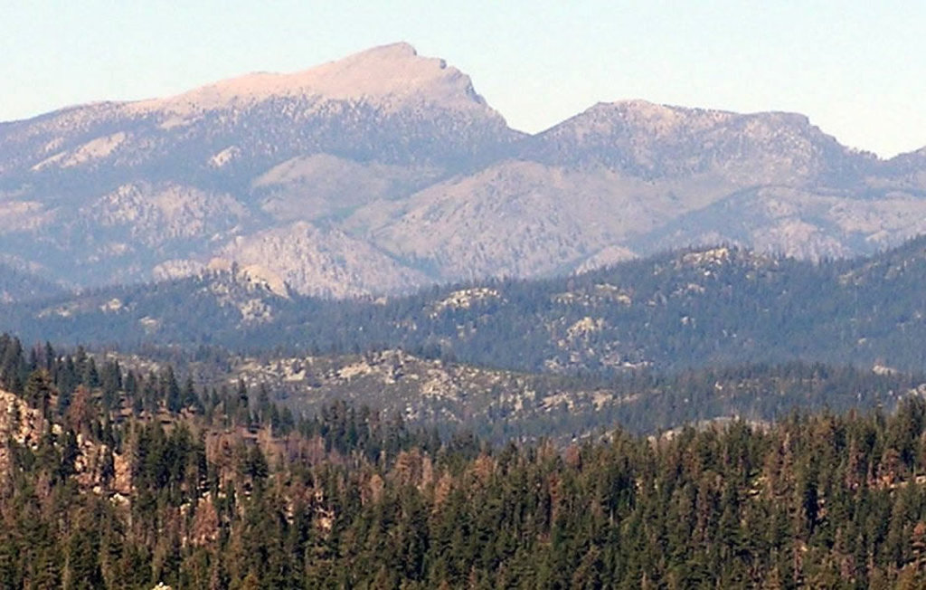
Elevations in the Sequoia portion of the Wilderness range from 4,800 feet to over 12,400 feet at the summit of Mount Florence. Lower elevations in this region contain grey and pinyon pine woodlands, while Jeffrey pine forests, red fir, lodgepole and foxtail pine cover mid and high elevations.
Elevations in the Inyo portion of the Wilderness range from 3,920 feet along the foot of the eastern Sierra Nevada mountains to over 12,800 feet at the summit of Cirque Peak. Volcano Meadow also lies in the Inyo segment of the Golden Trout Wilderness. Volcano meadow contains impressive lava-made bridges, waterfalls, and several inactive volcanoes that formed thousands of years ago, including Red Hill and Groundhog Cinder Cone.
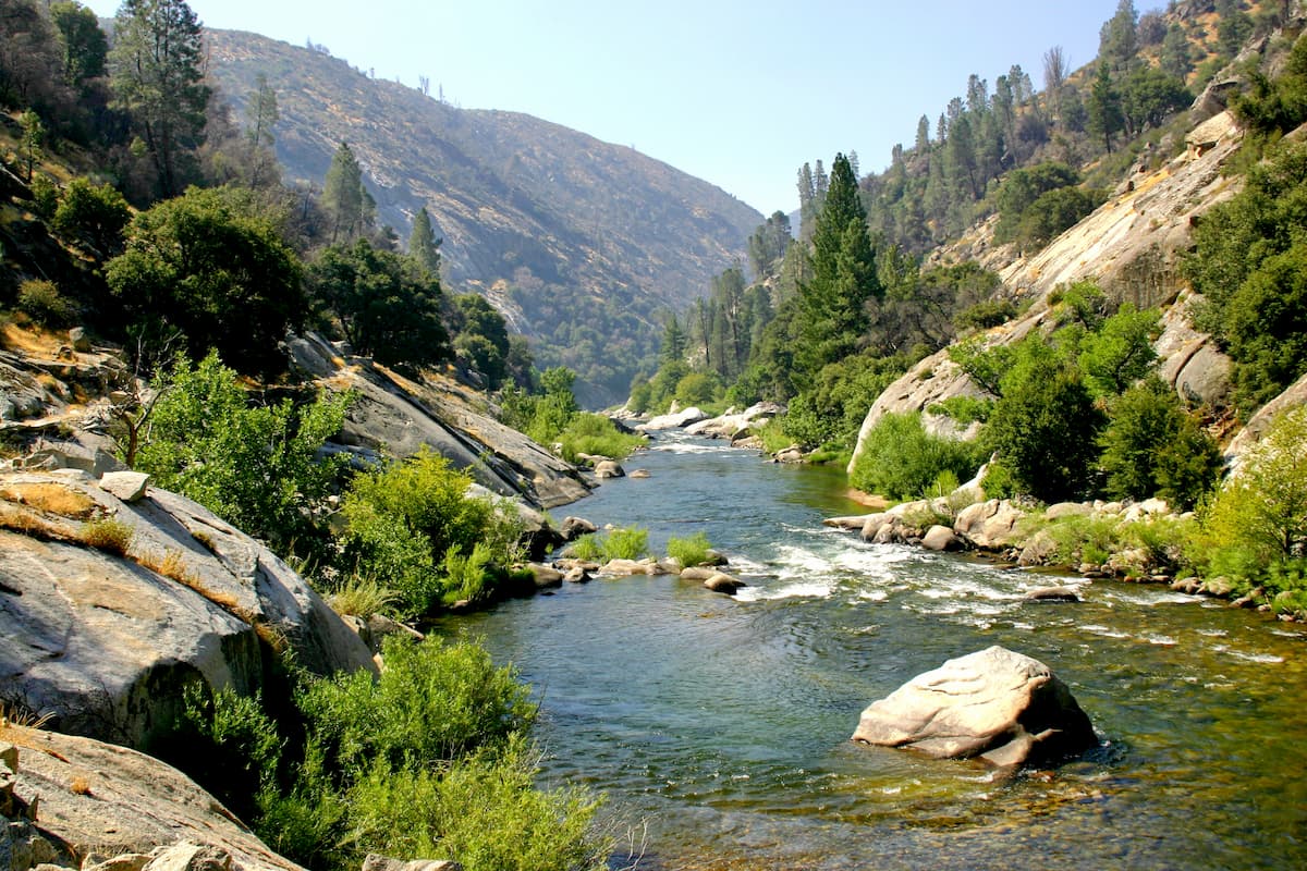
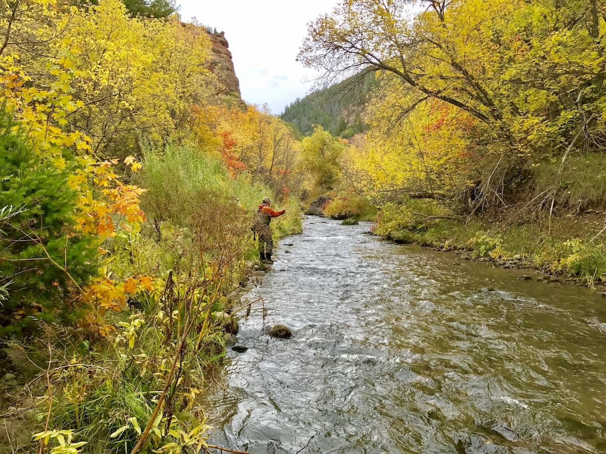
Two Wild and Scenic Rivers, the North and South Forks of the Kern River, travel through the Golden Trout, making it a beloved destination for rafting and trout fishing. This stretch of primitive wilderness also receives a fraction of the visitation as its northerly neighbors, Yosemite and Sequoia, making it an idyllic location for backpacking, camping, and hiking.
Several hundred miles of scenic backcountry trails traverse the Golden Trout Wilderness, including a portion of the Pacific Crest Trail. Due to the remote and rugged nature of the Wilderness, trails are mostly frequented by backcountry and long-distance hikers.
That being said, there are plenty of footpaths that can be modified to suit both novice and expert hikers.
At 11,200 feet in elevation, Cottonwood Pass is one of the easiest passes to traverse in the Eastern Sierra. Known as the gateway to Golden Trout, the 3.5-mile trek to Cottonwood Pass begins at Horseshoe Meadow Campground and climbs roughly 1,200 feet before reaching a junction with the Pacific Crest Trail. Hikers can opt to continue west toward Golden Trout or hike northwest toward Sequoia National Park.
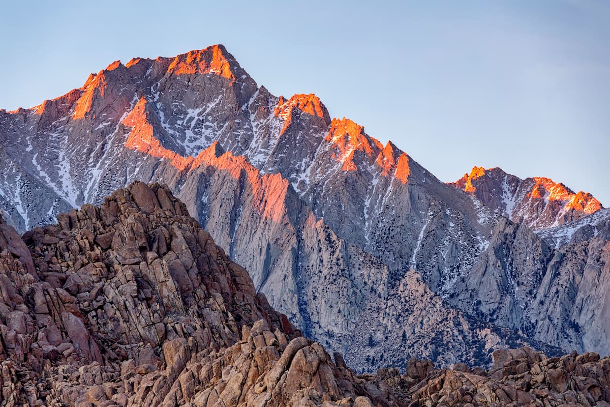
Cirque Peak, the tallest peak in the Wilderness, can also be reached via the Cottonwood Pass Trail from New Army Pass. From the summit of Cirque Peak hikers can appreciate panoramic views of the Sierras, including the illustrious Mount Langley.
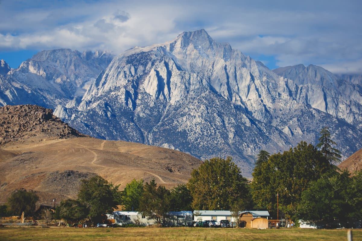
Lone Pine is a small, western-style town that stretches along US Highway 395 in the heart of the Owens Valley. The renowned Sierra Nevada rise abruptly to the west, while the Inyo Mountains ascend over the valley floor to the east. Lone Pine is best-known for its early trout season and access to the Sierra and surrounding wilderness areas. Accommodations in Lone Pine include the Mt. Whitney Motel, Dow Villa, and The Comfort Inn.


western-state-climbers
western-state-climbers-emblem
sierra-club-sierra-peaks-section
sierra-sampler
western-state-climbers
western-state-climbers-star
sierra-club-sierra-peaks-section
sierra-peaks-section-emblem
sierra-sampler
vagmarken-sierra-crest
western-state-climbers
western-state-climbers-emblem
sierra-club-sierra-peaks-section
sierra-sampler
western-state-climbers
western-state-climbers-star
sierra-club-sierra-peaks-section
sierra-peaks-section-emblem
sierra-sampler
vagmarken-sierra-crest
western-state-climbers
western-state-climbers-emblem
sierra-club-sierra-peaks-section
sierra-sampler
western-state-climbers
western-state-climbers-emblem
sierra-club-sierra-peaks-section
sierra-sampler


