Scan the QR code and open PeakVisor on your phone
Forêt Montmorency is a research forest (also known as an experimental forest) that’s owned and managed by Laval University in the Canadian province of Quebec. The forest contains 4 named peaks, the highest of which is Mont André-Lafond (1,010 m/3,314 ft) and the most prominent of which is Mont Edgar-Porter (975 m/3,199 ft).
Forêt Montmorency (Montmorency Forest) is a research forest and wildlife refuge located just to the north of Quebec City in the Canadian province of Quebec. The forest is owned and managed by Laval University (Université Laval), which is a public research university in Quebec City.
The forest covers an area of approximately 42,000 ha (103,784 acres). It is located in La Côte-de-Beaupré regional county municipality (MRC) within the Lac-Jacques-Cartier unorganized territory of the Capitale-Nationale region. Montmorency is also located about an hour’s drive to the north of Quebec City on Route 33.
Forêt Montmorency is privately owned and it is primarily used for research and educational purposes by the Faculty of Forestry and Geomatics at the university. Although the forest is home to an extensive network of cross-country ski trails, the university can restrict access to it at any time.
In fact, it is relatively difficult to access the forest during the summer months if you are not a student or employee at the university. On the forest’s official website, you can fill out an access permit application to request permission to travel through the park. However, Montmorency is primarily used for education and research, so summertime hiking requests may not be granted.
That said, if you’re looking for somewhere to hike near Quebec City during the summer months and you can’t get access to Forêt Montmorency, there are plenty of other great places to check out instead.
Other nearby parks include the Réserve nationale de faune du Cap-Tourmente, Parc national de la Jacques-Cartier, Parc national des Grands-Jardins, ZEC des Martres, Réserve écologique Thomas-Fortin, Réserve écologique de la Tourbière-de-Shannon, and Parc naturel du mont Bélair, among others.
The peaks in Forêt Montmorency are geologically part of the Laurentides, or Laurentian Mountains, which is a major chain of peaks that runs along the bulk of the northern coast of the Saint Lawrence River.
Although they may not be as tall or as grand as some other mountain ranges, the Laurentides are actually one of the oldest collections of peaks on Earth. They formed primarily during the Grenville orogeny, which was a major mountain-building event that took place during the Mesoproterozoic.
The Grenville orogeny was one of many mountain-building events that helped to shape what is now called North America. Many of the mountain ranges in the eastern US and Canada and even the southeastern part of Mexico formed as a result of the Grenville orogeny.
Within the Laurentian Mountains and Forêt Montmorency, the rocks are primarily Precambrian in age. They are part of the Canadian Shield, which is a huge area of mostly metamorphic and igneous rocks that covers much of eastern and northern Canada. Some of the main types of rocks found in the forest include gneisses and granites.
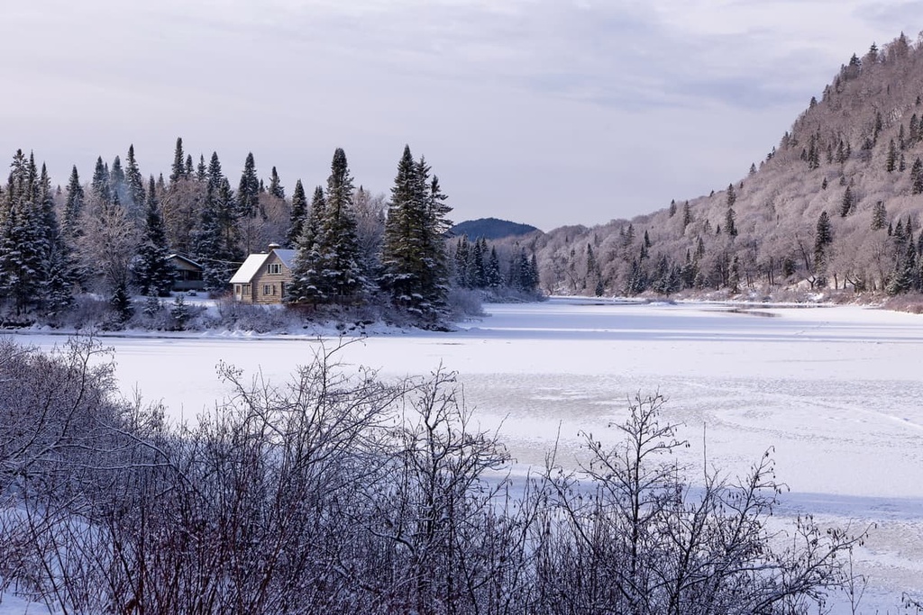
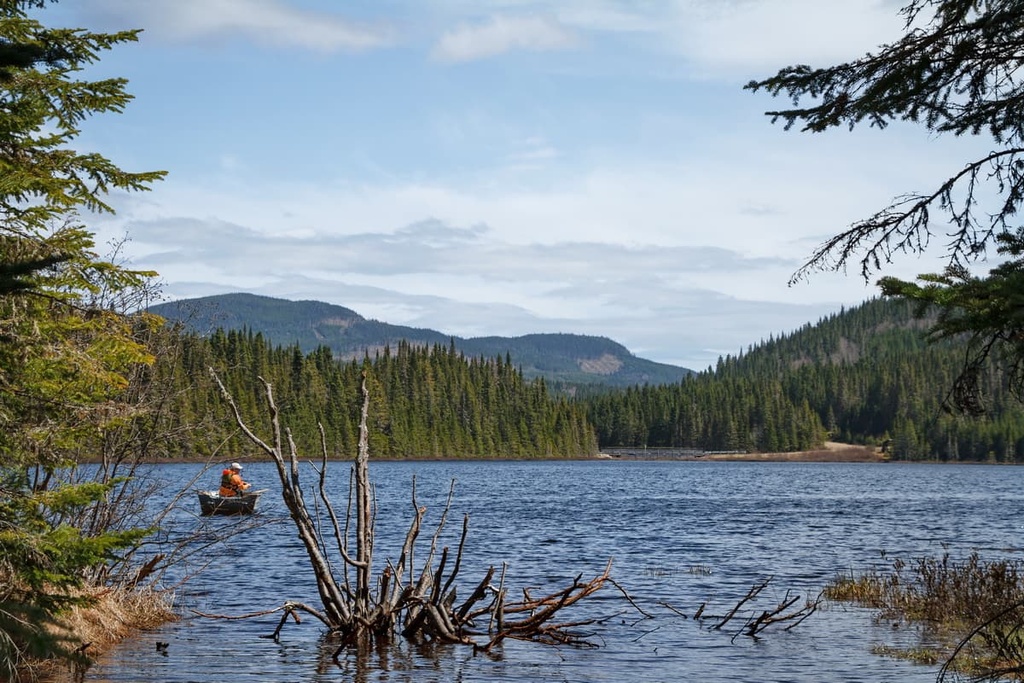
Forêt Montmorency features both the Montmorency River (rivière Montmorency) and its tributary, the Black River (rivière Noire). Both rivers ultimately drain into the Saint Lawrence River. The forest also contains 4 sizable lakes: Joncas, Laflamme, Bédard, and Piché.
There are only four named peaks in Forêt Montmorency: Mont André-Lafond, Mont Edgar-Porter, Mont Robert-Bellefeuille, and Mont Roger-Gosselin. The peaks in the forest aren’t particularly high (only Mont André-Lafond is taller than 1,000 m/3,280 ft), but they are rugged and beautiful nonetheless.
The ecology of Forêt Montmorency is much the same as the surrounding region. Within the forest, the landscape is heavily wooded. The primary tree species include balsam fir and white birch, though you can also find other species like white spruce and yellow birch.
Since much of the forest is relatively low-lying, there aren’t many notable areas of alpine terrain. However, the forest does contain a number of riparian and marshy areas, particularly around the Black and Montmorency rivers.
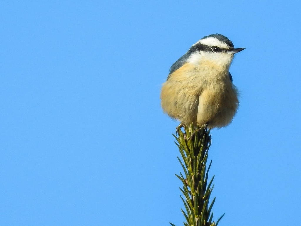
Wildlife in the forest includes most of the species that are typical for the area, including moose, black bears, Canada lynx, beavers, caribou, porcupines, mountain lions, and martens. The forest’s waterways are home to a number of fish species including brook trout.
In the forest, you can also find amphibians like red-backed salamanders, American toads, wood frogs, pickerel frogs, spring peepers, eastern newts, and northern dusky salamanders. Reptiles found in the forest include redbelly snakes, common garter snakes, wood turtles, painted turtles, and common snapping turtles.
The land that is now part of Forêt Montmorency has been home to humans for countless generations. In particular, the region is part of the ancestral homelands of the Nation Huronne-Wendat, whose ancestors have lived in the area since time immemorial.
In 1541, Jacques Cartier of France established a settlement called Fort Charlesbourg-Royal. Cartier and his crew were likely the first people of European descent to visit the region, though their settlement, which was located on what is now Quebec City, was short-lived.
European colonization of the region in and around Forêt Montmorency began in earnest with the arrival of Samuel de Champlain of France in 1608.
Champlain established a colony called Habitation de Québec and that colony would later go on to become the old town of Quebec City. In 1626, Champlain also established the Petite-Ferme (Small Farm) in what is now the town of Beaupré in order to supply food for the growing colony.
By the seventeen and eighteenth centuries, French colonization of the region had increased substantially. Many First Nations were forced off their land around this time to make way for growing French settlements along the coast including at Château-Richer to the south of what’s now Forêt Montmorency.
The region became part of the Dominion of Canada in 1867 and La Côte-de-Beaupré MRC in 1982.
In 1964, however, the land that is now Forêt Montmorency was given to Laval University so that professors at the university could use it for classes and for research. The government of Quebec gave the university a 99-year lease on the land in exchange for a commitment to protect it.
As part of this lease, the university is also allowed to use the forest for research and education. Montmorency’s chief forester works closely with the Ministry of Forests, Wildlife and Parks in Quebec to maintain the land. The forest was most recently expanded in 2014 when it more than doubled in size.
Forêt Montmorency is home to a number of hiking trails. However, in recent years, Laval University has decided to shift its focus more toward education and research. As a result, access to the land is strictly limited, particularly during the summer months.
It is possible that the forest will open up again to summertime hikers and anglers in the future as the original closure of the forest was only intended to last until 2021. For the latest information on access to the forest, head to the Université Laval news page or the official website of Forêt Montmorency.
That said, as a general rule, the forest is open to limited cross country skiing during the winter months.
The university partners with a private company, Ski de Fond Forêt Montmorency to provide groomed cross country ski trails and equipment rentals during the winter. You can purchase day passes for the ski and snowshoe trails on the company’s website.
There are no public camping and accommodation options available in Forêt Montmorency itself. However, there are two lodging options located close to the forest.
The first option is the wintertime lodge that’s run by Ski de Fond Forêt Montmorency. You can find more information about the lodging and directions for making a reservation at the company’s website.
Alternatively, you can spend the night at Camp Mercier, which is located just to the south of the forest in Réserve faunique des Laurentides. Camp Mercier is run by Sépaq and it actually offers its own groomed cross country skiing and rental shop. You can spend the night at any one of the camp’s cabins, though you must reserve your cabin rentals in advance online.
Forêt Montmorency is located just a short drive from a number of major cities and towns. Here are some of the best places to stay before or after your trip to the forest.
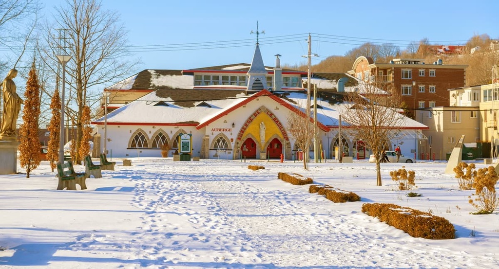
Quebec City is the capital and second-largest city in the province of Quebec. It is located just around an hour’s drive to the south of Forêt Montmorency, so it’s the perfect place to stay if you want to enjoy both the great outdoors and the excitement of city life.

In Quebec City, you can walk around the city’s old town, which is a UNESCO World Heritage Site. You can also check out some of the city’s many excellent restaurants and cafés. The city is also accessible by car, train, and plane, so it’s a great stop on any trip to Quebec.
The community of Beaupré is home to about 3,800 people. It is located at the confluence of the Sainte-Anne-du-Nord River and the Saint Lawrence on route 138.
Beaupré was formally established by Breton sailors in the seventeenth century and it has long been a major commercial and cultural area in La Côte-de-Beaupré MRC. The town is also home to Monte-Sainte-Anne, the highest elevation ski resort in eastern Canada.
Stoneham is a small community that’s located about 45 minutes to the south of Forêt Montmorency. It is part of a much larger united township municipality known as Stoneham-et-Tewkesbury that includes the villages of Saint-Adolphe, Tewkesbury, and Stoneham.
Nowadays, Stoneham’s biggest claim to fame is the fact that it’s the home of the Stoneham Mountain Resort. The resort offers both day and night skiing and it’s one of the most popular ski resorts near Quebec City. Stoneham has hosted the Snowboard FIS World Cup Finals multiple times and it also hosted the 2013 FIS Snowboarding World Championships.