Scan the QR code and open PeakVisor on your phone
The Blue Ridge Wilderness is an outdoor recreation destination situated in the northern region of the US state of New York. The wilderness is located in the central region of Adirondack Park. The tallest mountain in the wilderness is Metcalf Mountain at 3,304 feet (1,007 m) tall while the most prominent is Blue Ridge with 820 feet (250 m) of prominence.
The Blue Ridge Wilderness is situated in the central region of Adirondack Park in Upstate New York. The wilderness is part of a network of protected areas which extend throughout Adirondack Park.
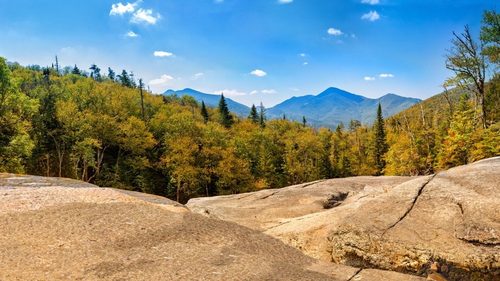
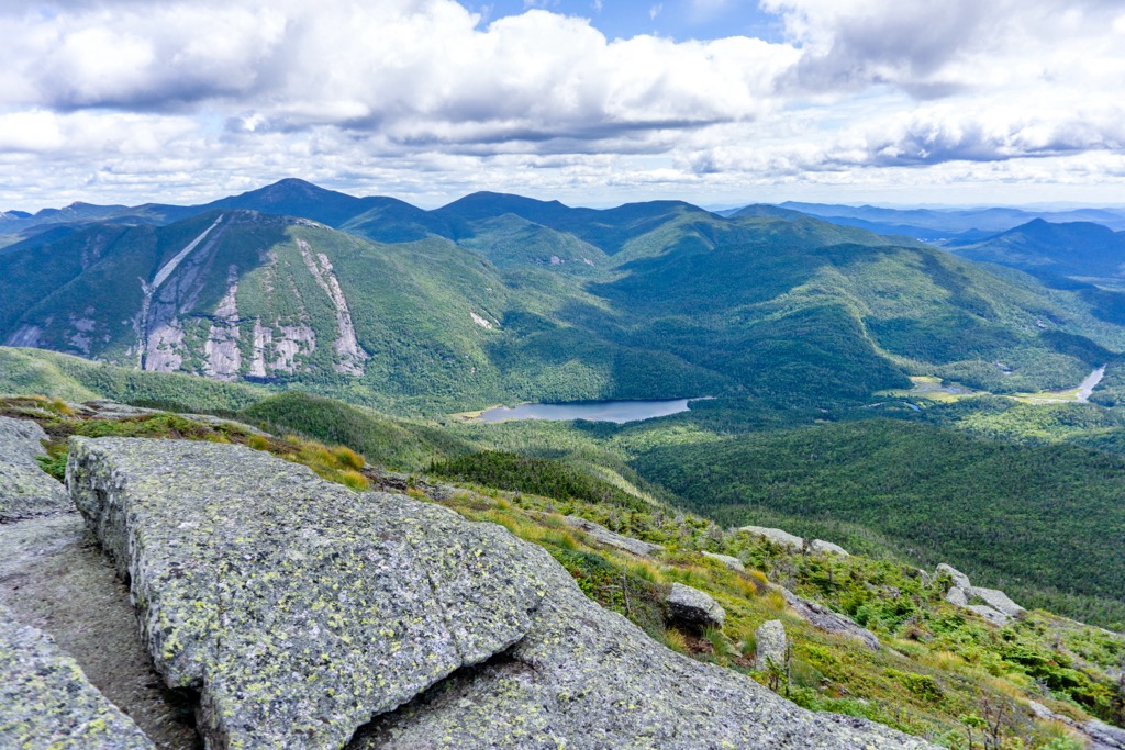
The wilderness spans just under 48,000 acres (19,425 ha) across the forested and mountainous terrain. The Blue Ridge, for which the wilderness is named after, cuts across the wilderness from east to west.
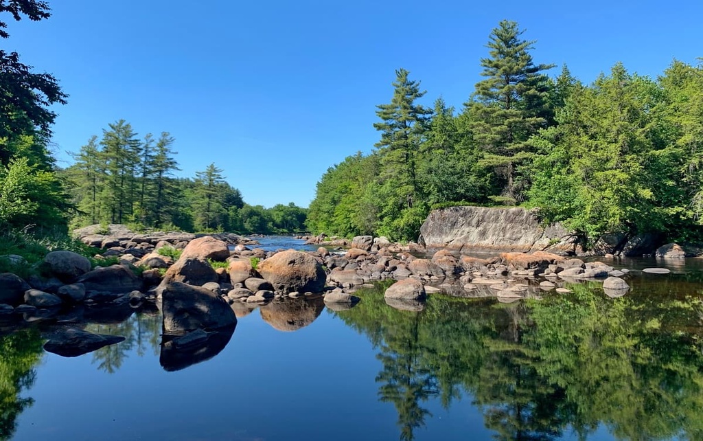
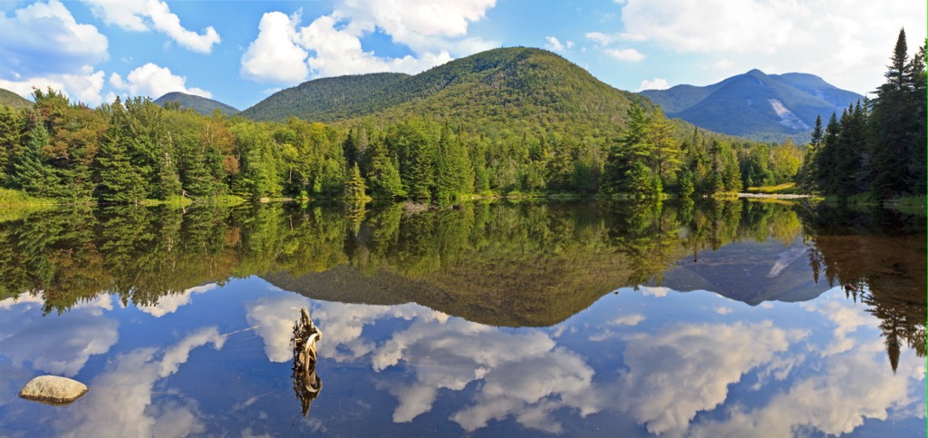
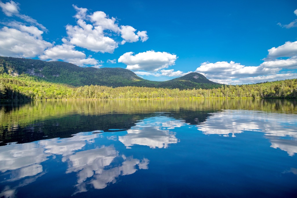
This ridgeline spans nearly seven miles (11 km) across the landscape, ranging from 2,700 to 3,300 feet (823 to 1,006 m) in elevation. The wilderness is full of numerous lakes, creeks, and streams, many of which are often used for fishing.
Northern and eastern boundaries of the wilderness are marked by NY 28 with Cedar River Road in the south and Moose River Plains Wild Forest to the south. Within the wilderness lies the Wakely Mountain Primitive Area, while the Great Camp Sagamore is located just west of the Blue Ridge Wilderness.
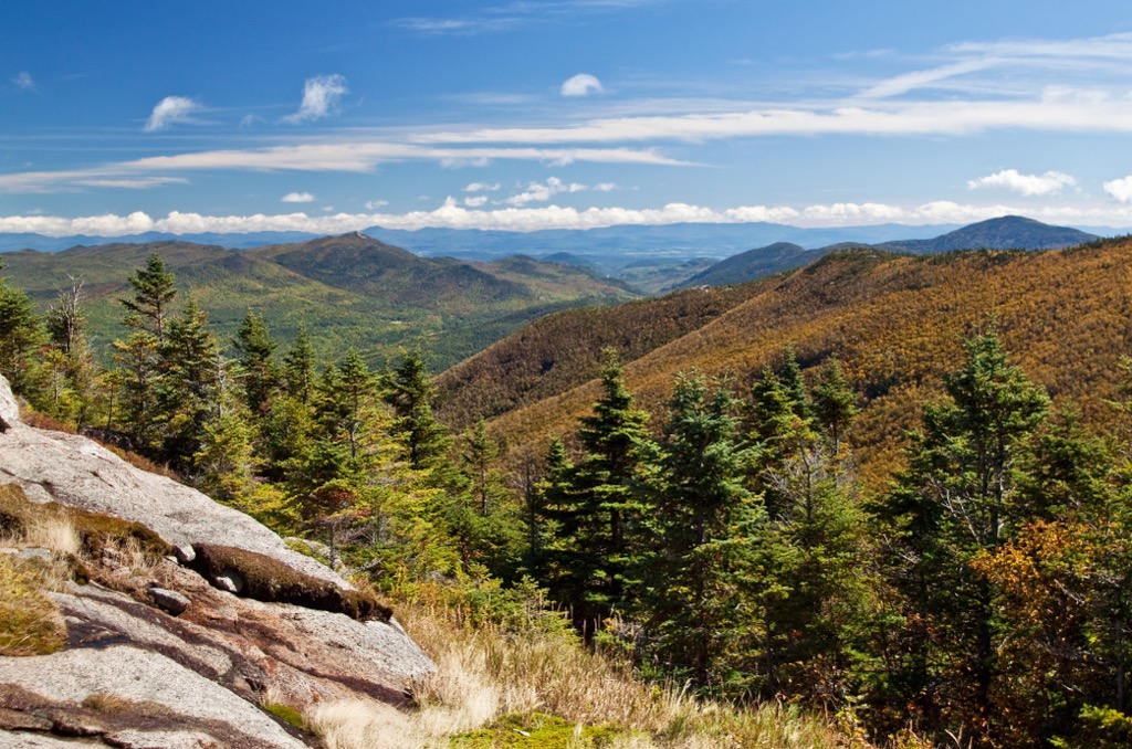
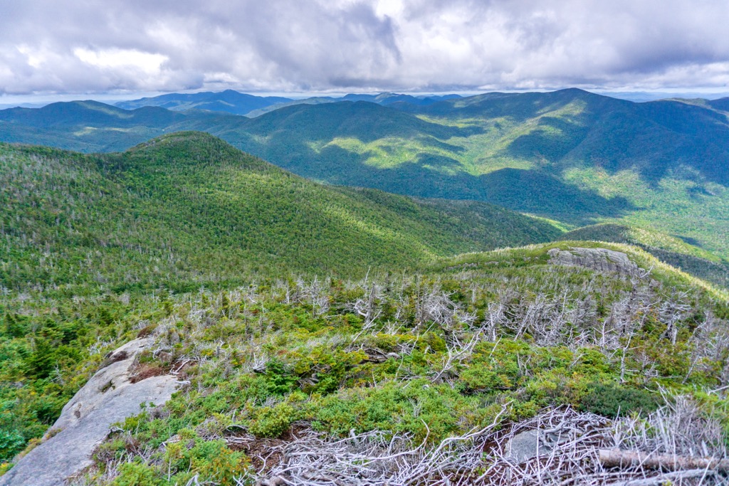
The vast majority of the landscape is marked by densely forested hillsides and valleys. The main ridgeline is rarely hiked due to its remote location and lack of viewpoints. Peaks found in the wilderness are part of the Adirondack Mountains which extend throughout Upstate New York.
Terrain within the wilderness was drastically altered by the Big Blowdown storm which took place in 1950. Remnants of this storm can still be found throughout the surrounding region. Major bodies of water in the region include Cedar River, Cedar River Flow, Little Moose Lake, Lake Kora, Mohegan Lake, and Sagamore Lake.
Additionally, the Blue Ridge Wilderness is located near a number of other parks and destinations for outdoor recreation. Directly south lies the West Canada Lake Wilderness along with Jessup River Wild Forest. The Blue Mountain Wild Forest is situated to the northeast while Sargent Ponds Wild Forest and Moose River Plains Wild Forest are located to the north.
The Blue Ridge Wilderness lies within the Adirondack Park in Upstate New York. The park’s boundaries are loosely defined by the Adirondack Mountains, marked by a massif that encompasses much of the northern portion of the state.
The Adirondack Mountains cover 5,000 sq. miles (13,000 sq. km) of terrain throughout the region, roughly forming a circular dome. Rocks found in the region began around 2 billion years ago. At this time, the range was located near the equator along the ancient seafloor.
During the Grenville Orogeny, roughly 1.5 to 1 billion years ago, the range was slowly uplifted towards its current location. Millions of years of erosion and weather transformed the once sedimentary rock into metamorphic rock.
When looking at a topographic map, the Adirondack Mountains appear to be a part of the Appalachian Mountains which extend throughout the eastern US. However, the Adirondacks are geologically distinct, featuring unique rock formations separate from the Appalachians.
Around 600 million years ago, the Adirondacks were further eroded when a shallow sea once covered the region. A hotspot thrust the peaks further upwards around 10 million years ago. Periods of glaciation and glacial retreating further carved out the landscape, leaving behind the rivers, valleys, and waterways visible today.
Major peaks that are located in the Blue Ridge Wilderness include Metcalf Mountain, Blue Ridge, Sawyer Mountain, Green Top, and Estelle Mountain.
Flora and fauna found in the wilderness is similar to that found throughout Adirondack Park. In order to protect biodiversity, lumber production has been drastically reduced throughout the park.
A majority of the wilderness is densely forested with a mix of deciduous and coniferous trees. Mixed hardwood forested patches often feature American beech, sugar maple, red maple, and yellow bridge. Common coniferous trees at higher elevations are black spruce, red spruce, and balsam fir.
Despite its relatively small size, the surrounding network of wild forests allow for a variety of fauna to thrive in the region. Larger mammals found in the area include red foxes, black bears, gray foxes, and white-tailed deer. Raccoons, beavers, and porcupines are also common.
The surrounding network of lakes, creeks, and rivers provides the ideal habitat for a variety of species. Hikers may spot blue herons, painted turtles, bullfrogs, and spotted salamanders. Nearby lakes are home to brown trout, brook trout, smallmouth bass, rock bass, and northern pike.
The land within and surrounding the Blue Ridge Wilderness has been inhabited by humans for thousands of years. The earliest artifacts uncovered in the region date back between 15,000 to 7,000 BCE.
The Oneida (Onʌyoteˀa·ká) and Mohawk (Kanienʼkehá꞉ka) were historically the main Tribes that lived in the region, utilizing the landscape for its abundant resources and hunting grounds. The Oneida and Mohawk would later become two of the five original member nations of the Haudenosaunee (Iroquois Confederacy).
In 1609, the Battle at Ticonderoga (also called the Iroquois War of 1609), marked the first recorded major fight between the Haudenosaunee and Europeans. The war was initially between the Haudenosaunee and the Innu, Algonquin, and Huron; however, the French eventually allied with the Huron, Innu, and Algonquin during the battle.
The arrival of European diseases, such as smallpox and measles, decimated the Haudenosaunee communities who had no natural immunity to the illnesses. While the Oneida attempted to remain neutral throughout the American Revolutionary War, they were eventually forced to work as scouts near Fort Stanwix.
At the end of the eighteenth century, the Treaty of Canandaigua was signed between the Oneida, other Haudenosaunee nations, and the US. This original treaty granted roughly 6 million acres (2.4 million ha) of land near the Adirondack Mountains to the Tribes.
This land was drastically reduced in size by the US government over the following decades. This ultimately forced many Oneida to relocate to Wisconsin and parts of Canada. Today, the Oneida are organized into four nationally recognized nations, two in the US and two in Canada. This includes the Oneida Indian Nation in New York, the Oneida Nation of Wisconsin, Oneida at the Six Nations of the Grand River, and the Oneida Nation of the Thames.
Land in the surrounding region was heavily logged following the Civil War. Logging was partially heavy near the waterways of the region which helped transport the wood to the nearby mills and down the Hudson River.
The surrounding Adirondack Park was first protected under law in 1885 by the New York State Legislature as a forest preserve. In 1892, it was established as a state park, before eventually receiving constitutional protection in New York State.
The Big Blowdown of 1950 was a massive storm with winds reaching over 100 mph (160 kph). Heavy rains and winds damaged much of the remaining old growth forest of the region. Nowadays, the Blue Ridge Wilderness is home to a plethora of hiking trails, including a portion of the historic Northville-Placid Trail.
The Blue Ridge Wilderness is home to a number of wonderful trails for outdoor recreation. Here are a few of the trails in the forest that are worth checking out during your next visit.
This hiking trail leads to the summit of Sawyer Mountain, the second most prominent peak within the wilderness. The trail climbs steadily through the forested landscape and can be accessed throughout a majority of the year.
While the summit itself is forested, there are two lookout points along the route along with one roughly 300 feet (90 m) past the summit. This out and back route is 2.2 miles (3.5 km) in length and features 626 feet (191 m) of total elevation gain.
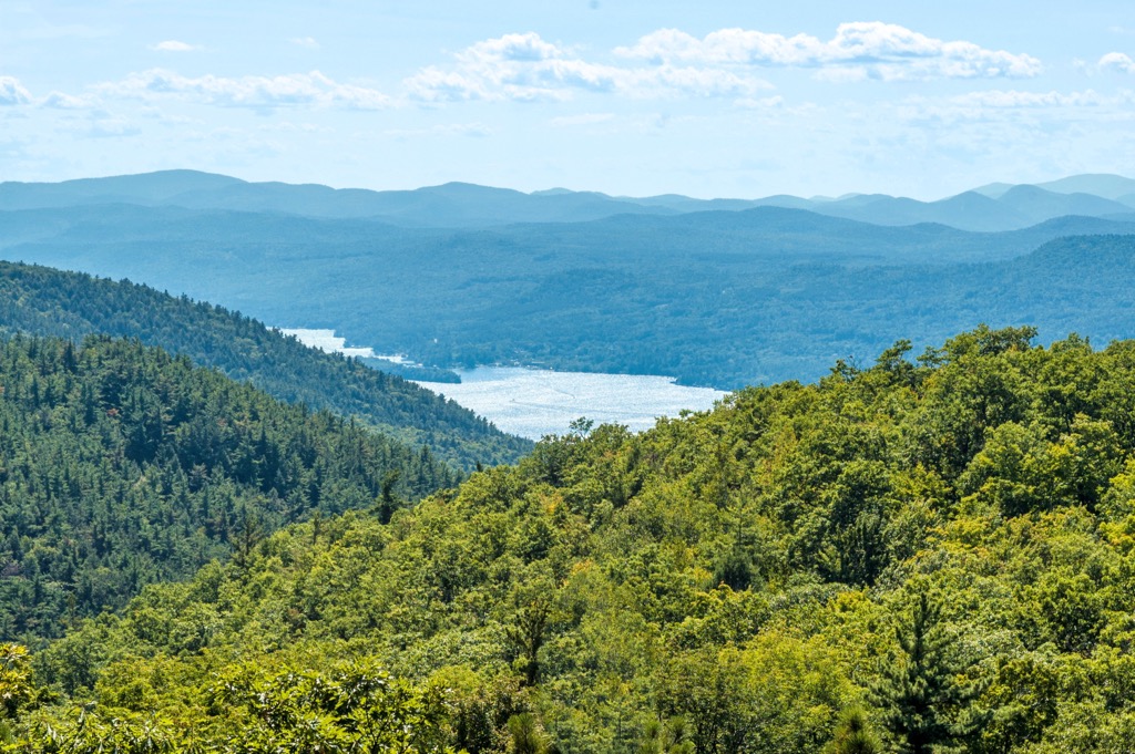
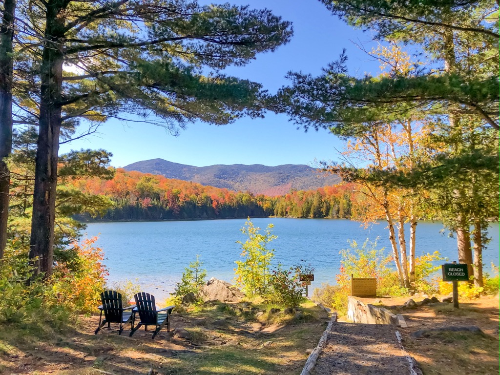
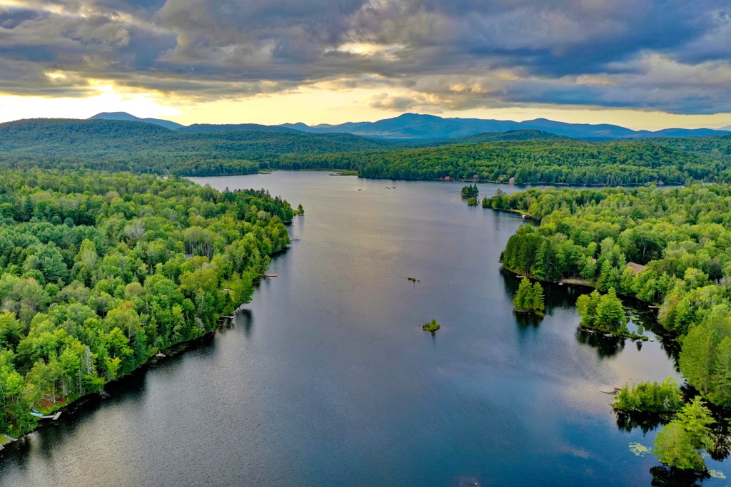
This route loops around Sagamore Lake, situated along the western edge of the wilderness. The historic Great Camp Sagamore is located along the western shores of the lake, while the trail follows along a historic carriage road.
Hikers can take in the stunning beauty of the forested landscape, with views of the lake interspersed throughout. From the northern shores, hikers can see Blue Ridge in the nearby distance. The loop is 4 miles (6.4 km) long and features 219 feet (67 m) of elevation gain.
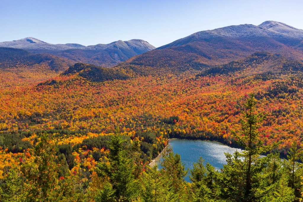
There are dozens of ponds and lakes that are located within the Blue Ridge Wilderness, with this route highlighting the wetland portion of the wilderness. Located in the northeastern section of the wilderness, the route begins on the northern shores of Lake Durant before climbing steadily through the forested landscape.
Hikers pass along Cascade Pond before dropping slightly in elevation to reach Stephens Pond. The out and back route is 8.1 miles (13 km) in length and features 948 feet (289 m) of total elevation gain.
Looking for a place to stay near the Blue Ridge Wilderness? Here are some of the best cities and towns to check out in the region.
The small town of Indian Lake is located along the eastern edge of the wilderness, situated along Indian Lake. Nestled in the Adirondack Mountains, Indian Lake is known for being the “Whitewater Capital of New York State”.
The quaint town is home to various local shops and a variety of restaurants. The community is also home to the Indian Lake Museum and the Adirondack Museum. Summer months provide visitors with over 300 miles (482 km) of nearby hiking trails. During the winter the region features opportunities for snowshoeing and cross-country skiing.
The city of Queensbury, New York lies southeast of the wilderness, marking the closest city to the protected region. Situated south of Lake George and northeast of Great Sacandaga Lake, the city is a hub for outdoor recreation. Home to 28,000 residents, Queensbury lies in the foothills of the Adirondack Mountains.
Each year the city hosts thousands of tourists who come to enjoy the nearby lakes, mountains, and forests. Just outside the city lies opportunities for hiking, swimming, canoeing, kayaking, mountain biking, and golfing. During the winter months the small city transforms into an ideal spot for both downhill and cross-country skiing.