Get PeakVisor App
Sign In
Search by GPS coordinates
- Latitude
- ° ' ''
- Longitude
- ° ' ''
- Units of Length

Yes
Cancel
❤ Wishlist ×
Choose
Delete
Pierce County is home to 327 summits, ridges, and other mountain features. The highest and most prominent peak is Mount Rainier. At 14,411 feet, Mount Rainier is the fourth highest peak in the lower 48 states of the USA. The county is the second most populated county in the state of Washington and is located southeast of Seattle. It is home to parts of Mount Rainier National Park, Mount Baker Snoqualmie National Forest and the Nisqually National Wildlife Refuge.
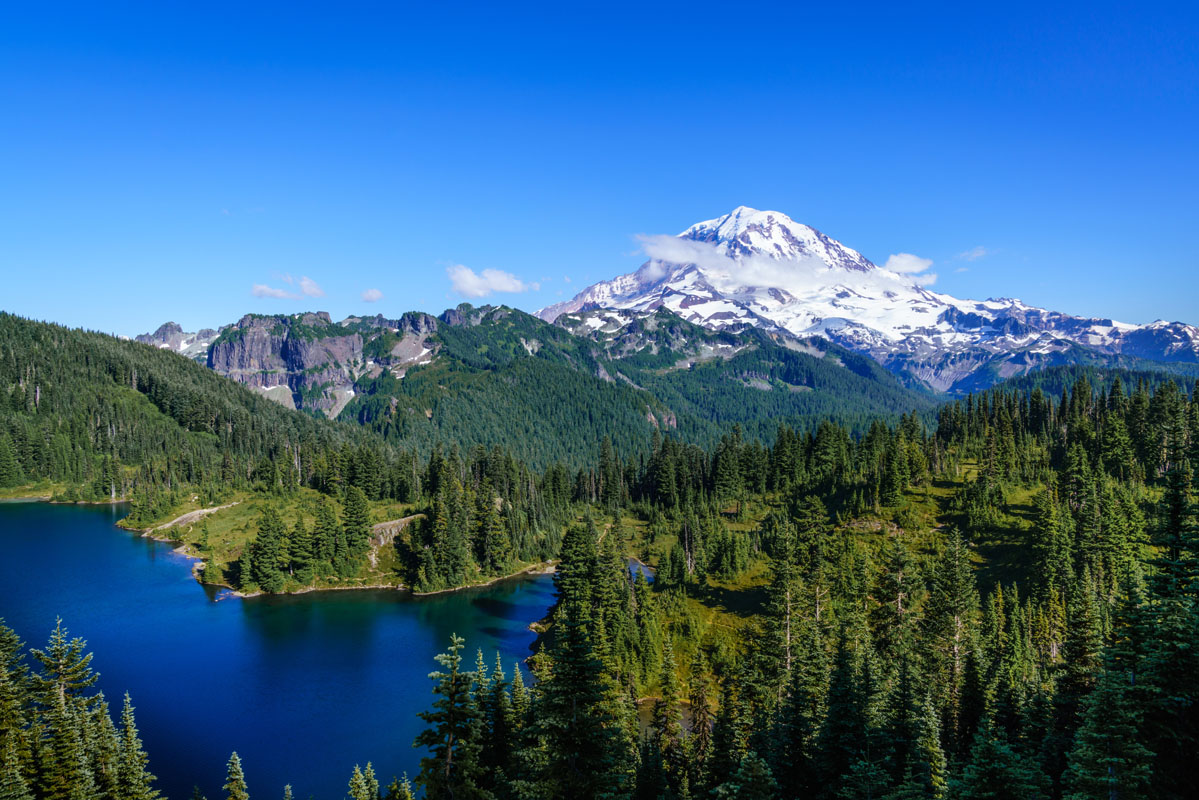
The Cascade mountain range runs through Pierce County and is responsible for a majority of the county's highest peaks. A majority of the highest points in the county, lie within Mount Rainier National Park. As a whole the county’s population is approximately 1,000,000 people and has thousands of miles of trails.
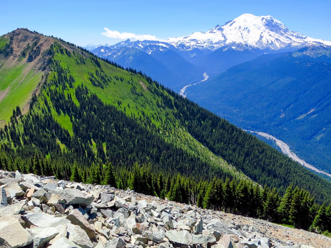
Locals refer to this peak as “The Mountain”. While attempting to summit Mount Rainier is something that requires extensive preparation, the rest of this national park is filled with breathtaking trails. Whether you’re looking for a shorter hike up to Summit Lake, or a longer adventure through Mowich Lake and Spray Park, Mount Rainier National Park is easily one of the most beautiful in the country.
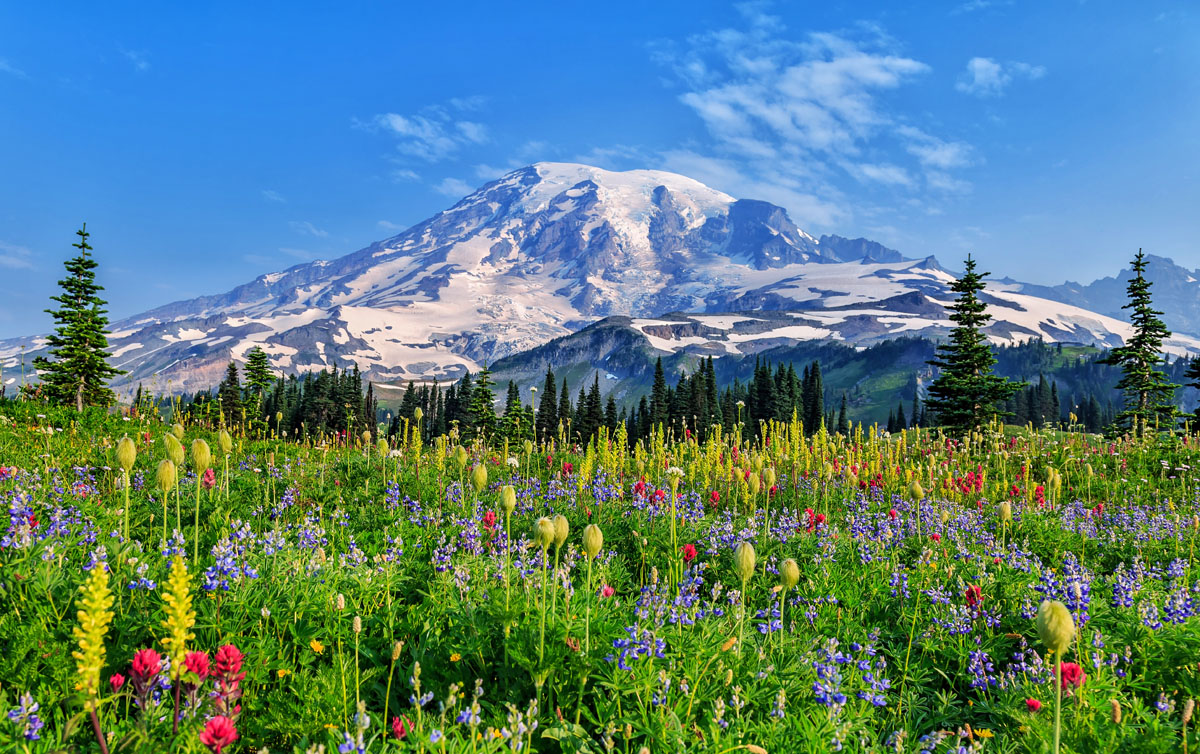
Crystal Mountain Resort is one of the largest ski resorts in the entire state. While the winter months provide runs and trails for skiing and snowshoeing, the summer months help transform the mountain into a hiker’s paradise. The summit of Crystal Mountain stands at 6,978 feet tall and offers panoramic views of Mount Rainier, Mount Baker, Mount Saint Helens, Mount Adams, and even Mount Hood down in Oregon. Going for a long hike can be rewarded with the option to take the gondola back down to the parking lot.

Located just 10 miles north of Mount Rainier, Sun Top Lookout offers breathtaking views of the mountain and the surrounding peaks. The peak stands at 5,256 feet, and at the top you’ll find an old fire lookout tower. This acts as the perfect spot to enjoy some lunch and take in the views. With an old service road leading up part of the mountain, this hike can be as short as 2 miles or up to 15 miles if you decide to hike the entire length.

With a population of over 215,000, Tacoma is the most populated city in Pierce county. Located 25 miles southwest of SeaTac International Airport, this city sits on the foothills of the Cascade Mountains. Tacoma is great if you’re looking for a vibrant city that still offers easy access to some of the region’s most prominent hiking trails.
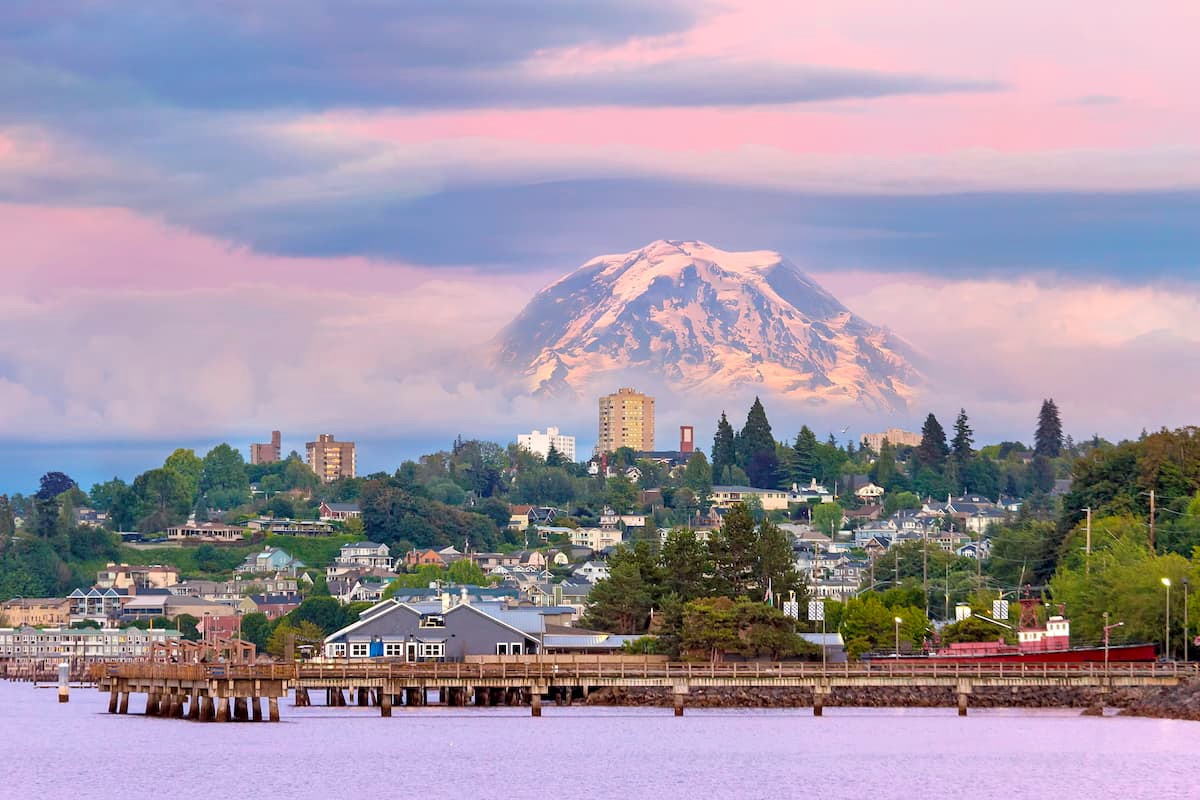
Enumclaw is the last city, apart from a few remote gas stations and taverns, located on highway 410 before you reach Mount Rainier National Park. A quaint farming town, Enumclaw is home to a plethora of local shops and restaurants. From Enumclaw, follow 410 East for 38 miles to reach Mount Rainier National Park.
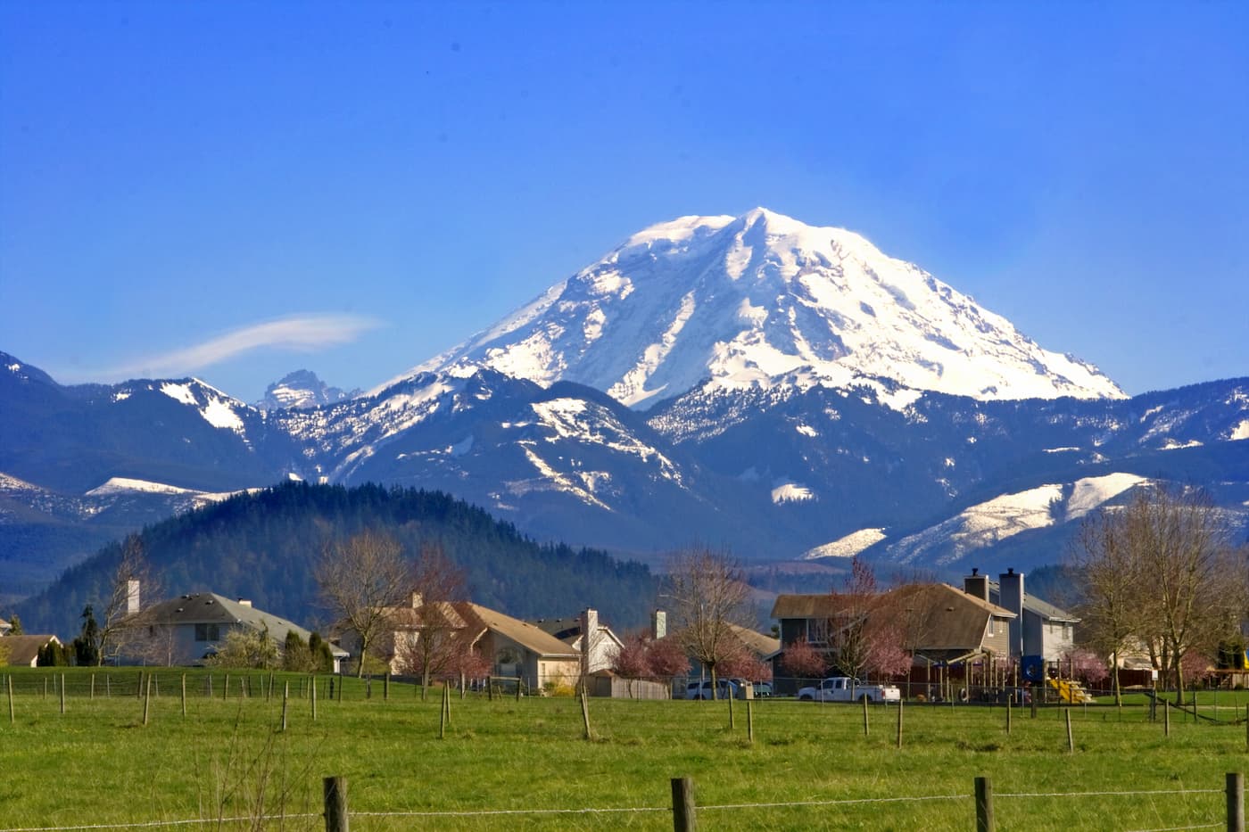
Explore Pierce County with the PeakVisor 3D Map and identify its summits.



14er
ultra
glacier
volcano
cascade-range-9000ers
washington-bulger
smoots-100
chemeketan-18-nw
mountaineers-6-peak-pin
mountaineers-5-peak-pin
cascade-volcanoes-pin
mazamas-16-nw-award
fred-beckey-great-peaks
washington-ultras
14er
ultra
glacier
volcano
cascade-range-9000ers
washington-bulger
smoots-100
chemeketan-18-nw
mountaineers-6-peak-pin
mountaineers-5-peak-pin
cascade-volcanoes-pin
mazamas-16-nw-award
fred-beckey-great-peaks
washington-ultras
