Scan the QR code and open PeakVisor on your phone
Honduras is a country located in Central America. The country is surrounded by Guatemala, El Salvador, Nicaragua, the Pacific Ocean and the Caribbean Sea. There are 2098 named mountains in Honduras. The highest and the most prominent mountain is Cerro Las Minas at 9,347 feet.
The country became independent back in 1821 and has been a republic ever since. Back in 1960 the northern region of the country was transferred from Nicaragua to Honduras. The country spans 43,433 square miles and has a population of over 9 million. The northern regions of the country are part of the western Caribbean with similar climate and culture. Much of Honduras is dominated by mountain ranges with small plains lining the coastlines. In the northeastern region lies La Mosquitia, a largely underdeveloped jungle abundant with biodiversity. The lowlands of Honduras are characterized by their tropical climate, while higher elevations are often described as temperate. Precipitation in the country averages between 70-110 inches annually while the mountain regions received 60-80 inches.
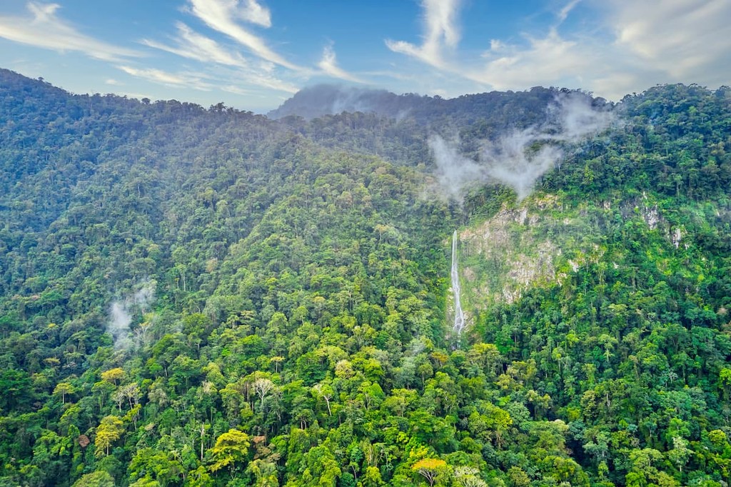
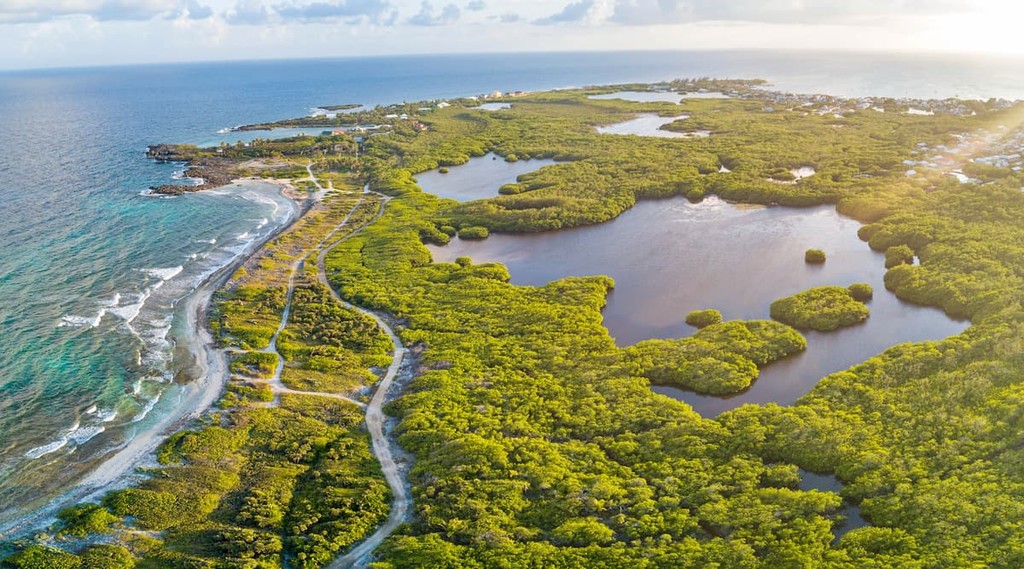
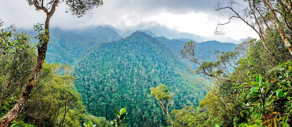
Honduras is home to over 6,000 species of plants, 250 reptiles, over 700 bird species, and over 100 mammals, a majority of which are bats. Throughout the country there are numerous rain forests, cloud forest, savannas, and mountain ranges. Some of the mountain ranges are full of pine and oak trees. In the northeastern region lies the Rio Platano Biosphere Reserve, a diverse rainforest that has been protected since 1982. Off the coast of Honduras also lies the Mesoamerican Barrier Reef System, which contains its own diverse ecosystem.
Deforestation has become a major issue for the country, leading to land degradation and soil erosion. Lake Yojoa is the main water supply for fresh water and has become contaminated with heavy metals because of mining. The country is known for its natural resources, minerals, coffee, tropical fruit, and textile industries.

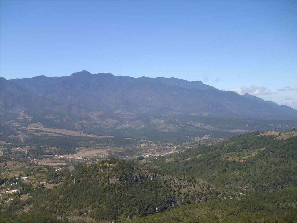
Celaque National Park: Located in western Honduras lies the Celaque National Park. The park covers a region of 103 square miles and includes the tallest peak in the entire nation, Cerro Las Minas. Elevations in the park range from 3,200 feet up to the summit at 9,347 feet. The terrain of this protected region is known for being very rugged and steep and is classified as a cloud forest. Nine rivers run through the park, providing water to numerous villages within the region. Extreme logging during the 1970s and 1980s led to a loss in biodiversity of the region, though the forest is slowly recovering. Besides Cerro Las Minas, other popular hikes include Mirador de la Cascada and El Gallo. Note that reaching the summit of Las Minas is a multi-day excursion.
Cusco National Park: Cusco National Park is located in northwestern Honduras and spans 90 square miles in the Merendon mountains. Elevations in the park range from near sea level up to 7,956 feet. The Cusco National Park is part of the Meso-American biodiversity hotspot. This region is known for its immense amount of biodiversity. Popular hikes include Toucan waterfall, Quetzall waterfall, Orion waterfall, and the Dwarf Forest.
La Tigra National Park: La Tigra National Park was the first to be established in Honduras and is located in the southwestern region of the country. The park covers 92 square miles with elevations ranging up to 7,100 feet. There are two major visitor centers within the park along with Eco Lodges. The park is dissecting into two sections; the nucleus and the buffer. Within the nucleus there are 8 hiking trails that total over 14 miles.
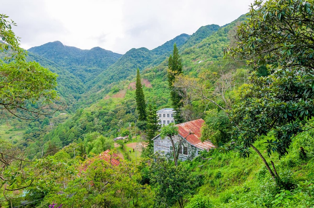
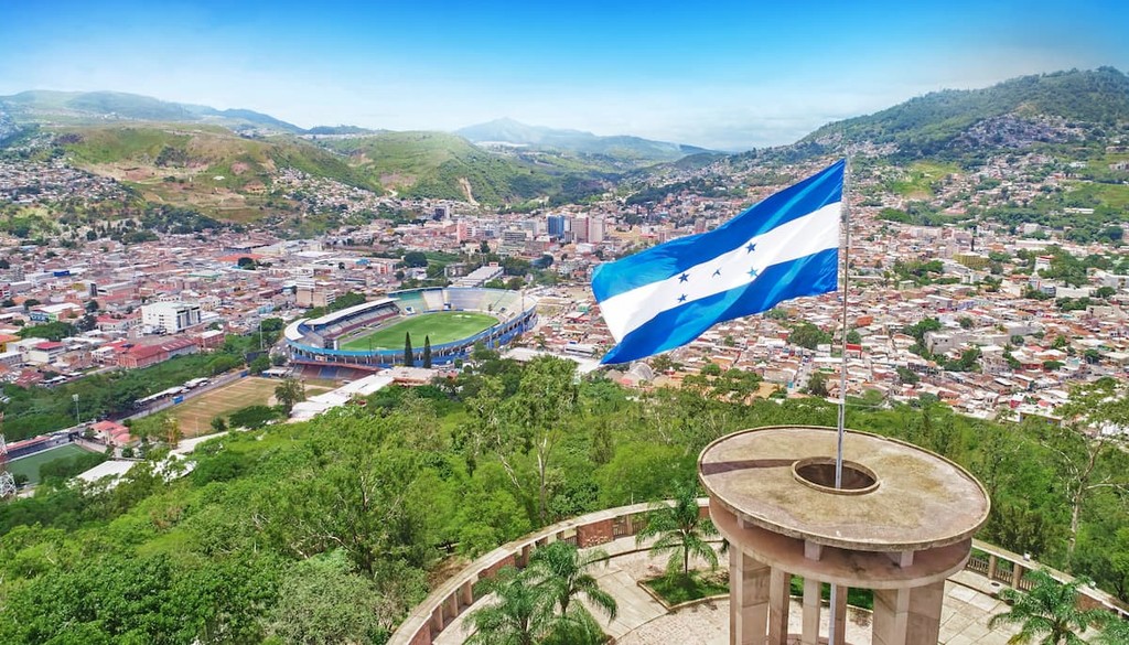
The largest city within Honduras is Tegucigalpa. The city is located in the southern region of the country with an estimated population of 1.2 million. The city is located on a chain of mountains with elevations ranging from 3,200 feet to 4,800 feet. Much of the city is surrounded by open woodlands with pine forests. Tegucigalpa is often paired with its twin city, Comayagua.