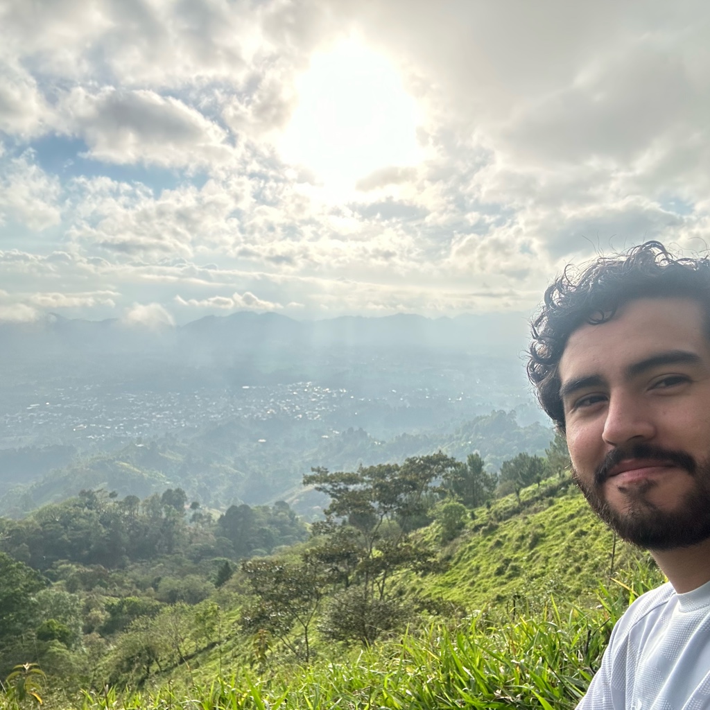
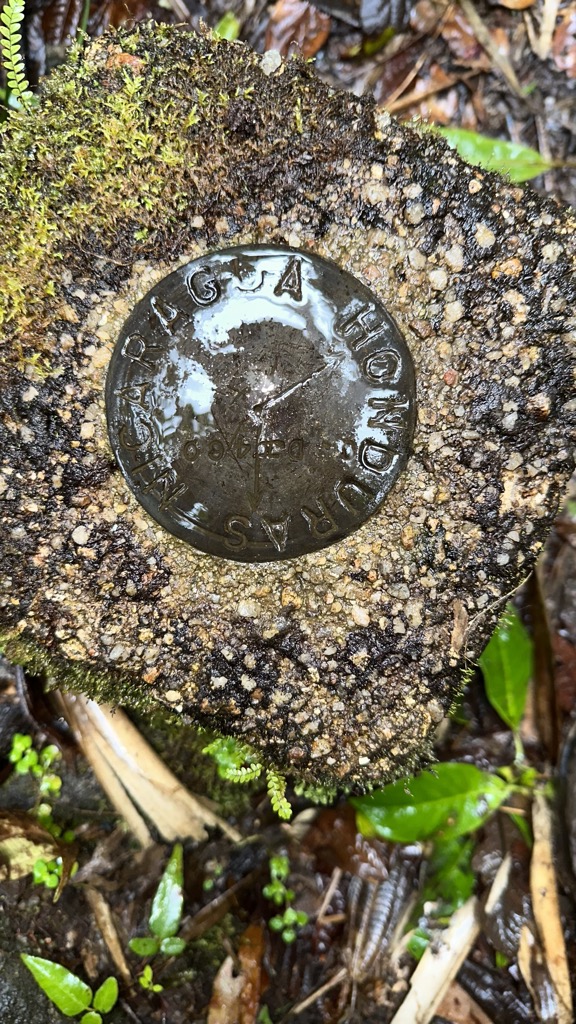
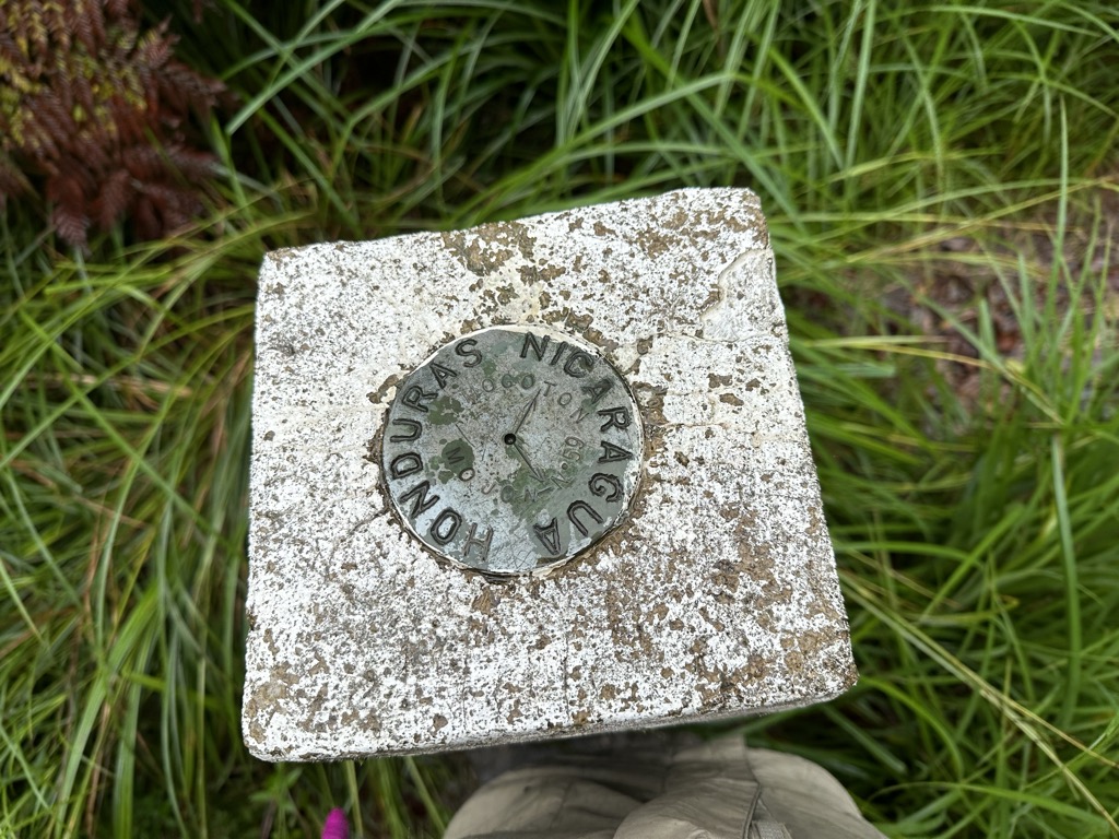
Mogotón is a mountain in the Reserva Nacional Cordillera Dipilto y Jalapa on the border of Nicaragua and Honduras. It rises 6,841 feet (2,085 m) above sea level and is the highest point in Nicaragua.
By elevation Cerro Mogotón is
# 50 out of 4379 in the Central Central America # 1 out of 83 in Nueva Segovia # 1 out of 1229 in Nicaragua # 48 out of 2124 in Honduras # 1 out of 186 in El Paraíso # 1 out of 14 in Monzonte (Municipio) # 1 out of 7 in San Fernando (Municipio) # 1 out of 18 in Reserva Natural Cordillera de Dipilto y Jalapa
By prominence Cerro Mogotón is
# 16 out of 4379 in the Central Central America # 1 out of 83 in Nueva Segovia # 4 out of 1229 in Nicaragua # 9 out of 2124 in Honduras # 1 out of 186 in El Paraíso # 1 out of 14 in Monzonte (Municipio) # 1 out of 7 in San Fernando (Municipio) # 1 out of 18 in Reserva Natural Cordillera de Dipilto y Jalapa
We use GPS information embedded into the photo when it is available.
3D mountains overlay
Adjust mountain panorama to perfectly match your photos because recorded by camera photo position might be imprecise.
Move tool
Rotate tool
Zoom
More customization
Choose which peak labels should make into the final photo and what photo title should be.
Next
Photo Location
Satellitte
Flat map
Relief map
Latitude
Longitude
Altitude
OR
Latitude
°'''
Longitude
°'''
Apply
Register Peak
Peak Name
Latitude
Longitude
Altitude
Register
Teleport
PeakVisor
This 3D model of Sagarmatha National Park in Nepal was made using the PeakVisor app topographic data. The mobile app features higher precision models worldwide, more topographic details, and works offline. Download PeakVisor maps today.
Download OBJ model
PeakVisor
The download should start shortly. If you find it useful please consider supporting the PeakVisor app.
PeakVisor for iOS and Android
Be a superhero of outdoor navigation with state-of-the-art 3D maps and mountain identification in the palm of your hand!