
Share

Scan the QR code and open PeakVisor on your phone
Scan the QR code and open PeakVisor on your phone
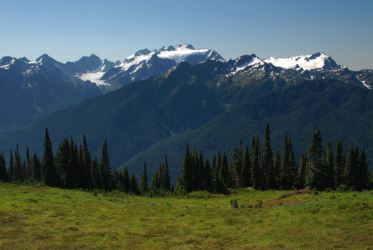
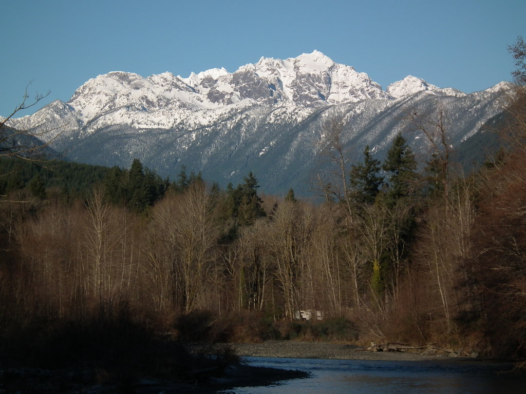
The Olympic Mountains are located along the Olympic Peninsula, a large arm of land in western Washington that stretches across Puget Sound. There are 244 named mountains in Olympic Mountains. Several peaks in the range exceed 7,000-feet, including Mount Anderson, Mount Deception, and Mount Constance.
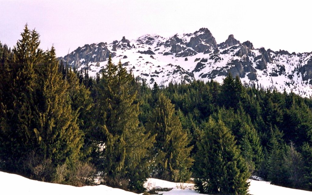
Although the Olympics aren’t particularly high in elevation, steep-sided, rugged peaks and heavily forested foothills earn this range a reputation as being one of the most spectacular mountain ranges in the states.
The Olympics are part of the Pacific Coast Ranges, a series of mountain ranges that stretch along the West Coast of North America from Alaska to Central Mexico and are surrounded by water on three sides. The eastern slopes of the range rise out of Puget Sound from sea level, while the western slopes are characterized by low-lying coastal plain.
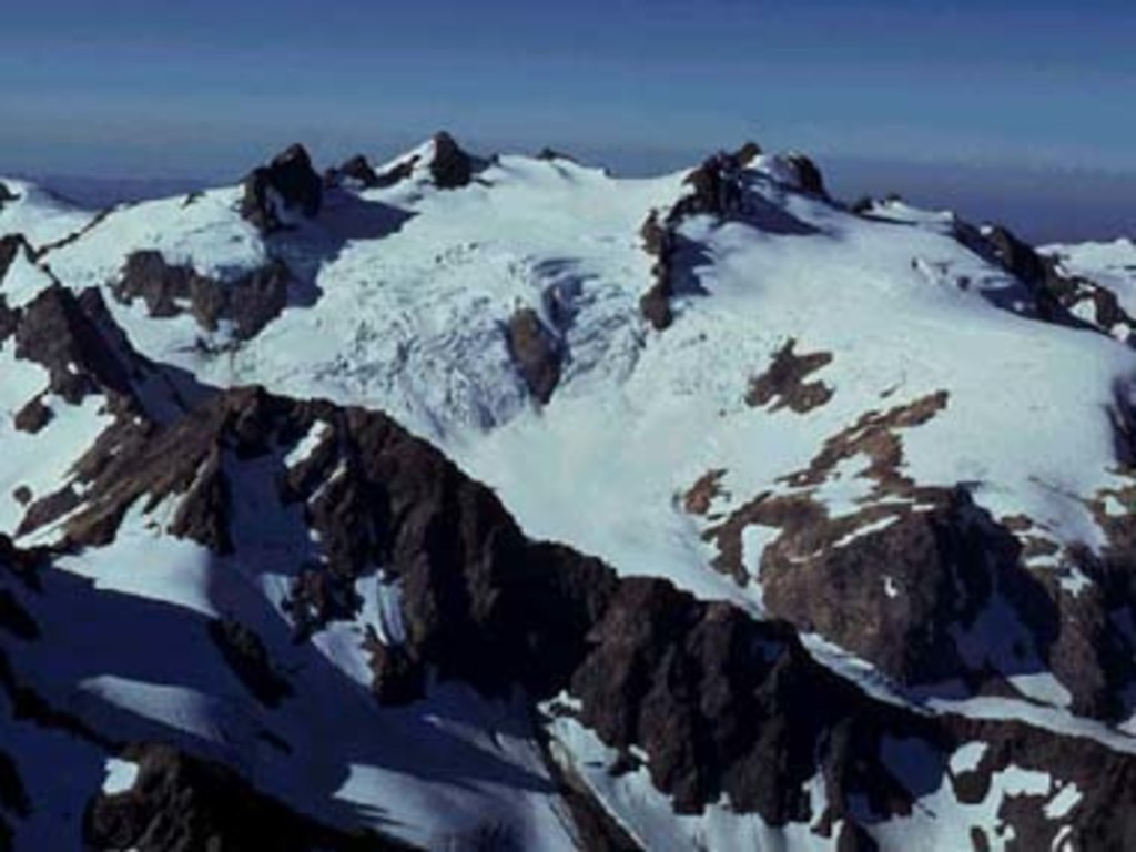
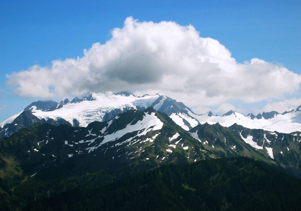
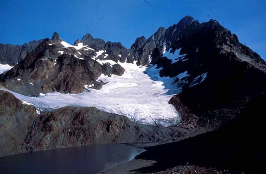
The tallest peak in the range, 7,930-foot Mount Olympus, is just 35 miles from the Pacific Ocean and is considered one of the steepest reliefs in the country. Despite its low altitude, Mount Olympus receives record snowfall every year and is the third largest glacial system in the continental United States. Several major glaciers are found on Mount Olympus including White, Blue, Humes, Jeffers, Hoh, and Hubert glaciers.
Interestingly, the Olympic Mountains house approximately 60 extraordinary glaciers. There are glacial systems on several notable Olympic peaks including Mount Anderson, Mount Cameron, McCartney Peak, Mount Queets, and Mount Christie. However, less sizable glaciers and snowfields can also be found on Mount Steel and Mount Duckabush.
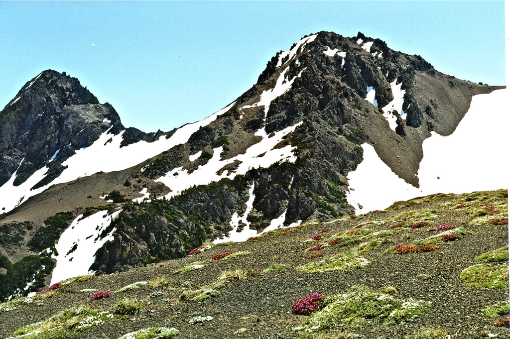
Most of the Olympic Mountains are protected within Olympic National Park, a 922,651-acre wilderness area that receives over 3.4-million visitors each year. Nestled within Olympic National Park, the Olympic mountains form a semi-circular set of peaks that have been contoured by glacial ice and rivers.
Several hiking trails traverse incredible mountain passes and reach alpine lakes and valleys, making the Olympic Range a popular destination for hiking, camping, climbing, backpacking, as well as winter recreation. Not to mention, within reach of the Olympics, visitors can explore one of the largest temperate rainforests in the United States, Hoh Rainforest, which receives the most precipitation of anywhere in the continental United States.
There are three main rock types in the Olympics: sandstone, shale, and basalt. Geologists believe that these rocks originated under the Pacific Ocean because marine fossils are found near mountain summits.
Aside from the summits mentioned above, popular lower-elevation peaks for hiking and climbing in the Olympic Range include Mount Ellinor, Mount Rose, Copper Mountain, and Mount Gladys.
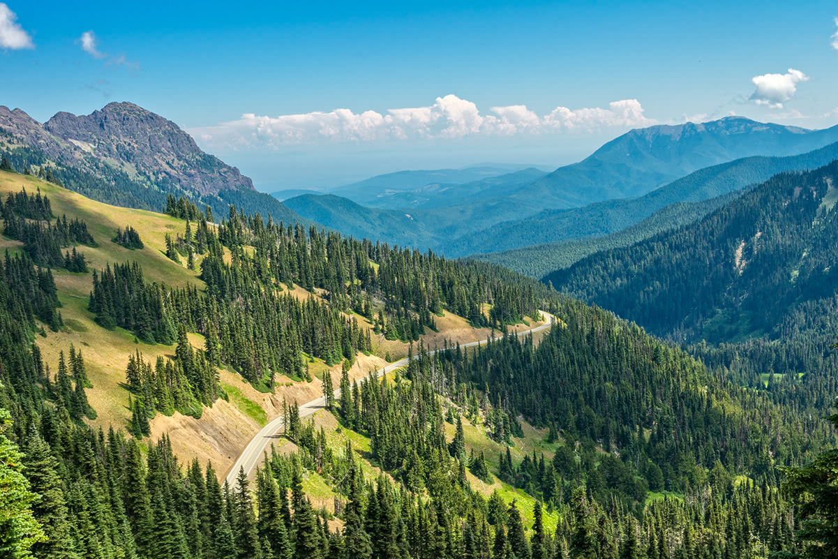
Hurricane Ridge – Arguably the most popular mountainous area within Olympic National Park, Hurricane Ridge can be assessed by car and offers ample outdoor recreation opportunities, including day hikes and scenic viewpoints that provide panoramic views of the Olympic Range. During winter months, Hurricane Ridge Ski and Snowboard Area and the nearby Hurricane Ridge Visitor Center allow visitors ample opportunities to ski, snowboard, snowshoe, or tube in the Olympics. The 3-mile hike to Hurricane Hill is one of the most popular trails in this area.
Mount Storm King – The strenuous 4.7-mile trek to Mount Storm King climbs 2,000-feet through dense forest and uneven terrain before arriving at a rocky outcropping that rests above Lake Crescent, the second deepest lake in Washington. The last portion of the trail requires the use of ropes to scramble to the top of the ridge.
The Staircase Region is located in the southeastern corner of Olympic National Park and receives less than 1% of the park’s visitors. However, hikes to craggy peaks, alpine lakes, and through lush old-growth forests makes the Staircase Region an ideal place to experience some of the less-accessible peaks in the Olympics. Below are some of the popular hikes in the Staircase Region.
Mount Ellinor – One of the most popular mountain climbs on the Olympic Peninsula, the trek to Mount Ellinor offers a steep 4-mile (RT) ascent to panoramic views of the Pacific Northwest. On a clear day, it’s possible for hikers to catch a glimpse of Washington icons like Mount Rainier, Mount Baker, Mount St. Helens, Mount Adams, and Mount Olympus.
Mount Washington - Mount Washington is a 4-mile (RT) scramble in the Olympic Range that navigates many exposed ledges and climbs 3,000-feet in elevation. Some route-finding skills are required, but for those willing to put in the effort, Mount Washington guarantees stunning views of Puget Sound and just about every major mountain in Washington State. There are several trails to the summit, but this peak isn’t recommended for beginners.
Port Angeles is the largest city on the Olympic Peninsula and is the northern gateway to Olympic National Park and the Olympic Range. Port Angeles is close to major hiking, backpacking, and biking trails, as well as popular beaches, lakes, and rivers. There are several lodges, hotels, and vacation rentals available to rent, as well as plenty of dining options.
The Lake Crescent Lodge is one of the first buildings from the modern era in Olympic National Park. Lake Crescent Lodge serves as an ideal base camp for exploring the Olympics and is nestled in giant fir and hemlock trees on the shore of Lake Crescent. This turn-of-the-century resort offers a variety of accommodations, including cabins, cottages, and more contemporary rooms.
Explore Olympic Mountains with the PeakVisor 3D Map and identify its summits.


ultra
glacier
olympic-6500ers
olympic-mountains-rain-forest-court
smoots-100
olympic-mountain-project
chemeketan-18-nw
mountaineers-6-peak-pin
mountaineers-5-peak-pin
mazamas-16-nw-award
washington-ultras
olympic-6500ers
olympic-mountains-rain-shadow-court
smoots-100
olympic-mountain-project
mountaineers-olympia
olympic-6500ers
olympic-mountains-rain-shadow-court
smoots-100
olympic-mountain-project
paul-wiseman-memorial-bench
ultra
glacier
olympic-6500ers
olympic-mountains-rain-forest-court
smoots-100
olympic-mountain-project
chemeketan-18-nw
mountaineers-6-peak-pin
mountaineers-5-peak-pin
mazamas-16-nw-award
washington-ultras
olympic-6500ers
olympic-mountains-rain-shadow-court
smoots-100
olympic-mountain-project
mountaineers-olympia
olympic-6500ers
olympic-mountains-rain-shadow-court
smoots-100
olympic-mountain-project
mountaineers-olympia-scramble
olympic-mountains-rain-shadow-court
smoots-100
olympic-mountain-project
mountaineers-olympia
olympic-6500ers
olympic-mountains-rain-shadow-court
olympic-mountain-project
mountaineers-olympia

