
PeakVisor Lifetime PRO
Unlock the wonders of the mountains for someone special in your life. Send a lifetime subscription to PeakVisor Pro this holiday season!
send your gift

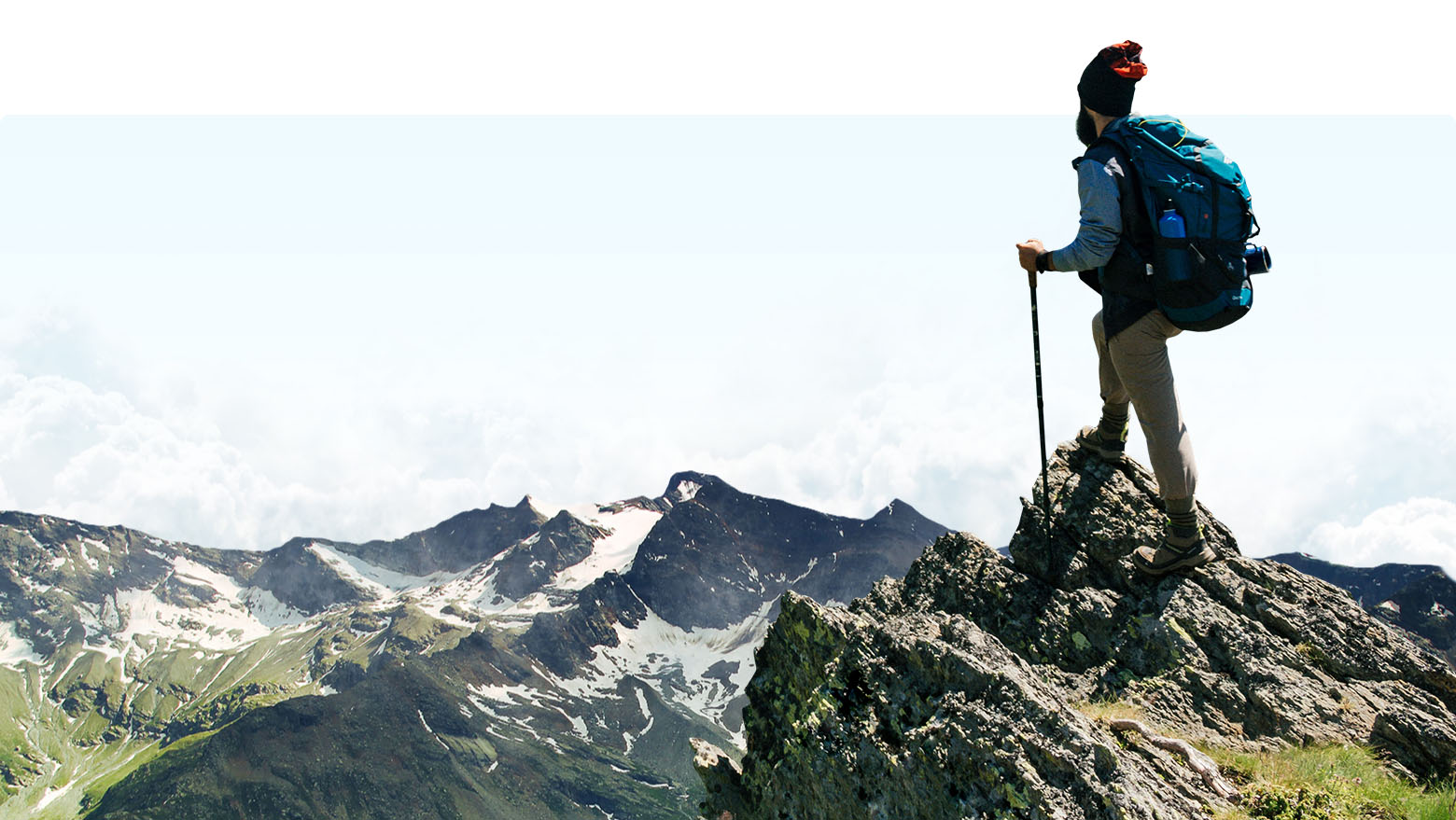
3D Maps & Peaks Identification
Be a superhero of outdoor navigation with state-of-the-art 3D maps and mountain identification in the palm of your hand!

Watch PeakVisor in action
Augmented Reality
Identify Mountains
Enjoy precise 3D mountain panoramas right in the palm of your hand. Identify epic summits in real time or snap a photo and label peaks to share with your friends.
Navigate with 3D Maps
By visualizing hiking trails in the realistic 3D maps you can immediately understand where the route will take you!
use anywhere
Offline ready
No internet? No problem. Everything you need for your next adventure can be easily downloaded and accessed from anywhere in the world.
explore
Available worldwide
From the high alpine summits of Switzerland to the remote regions of Alaska, PeakVisor covers all the major and minor mountain ranges across the globe. More peaks and ranges are being added every day, making it even easier to teleport to your favorite places around the world.
check the actual feeds
Mountain Pulse
Find other PeakVisor users who have checked-in in the same or neighboring region, nature park or a mountain range as you. See where else these peak baggers have hiked and climbed, and be inspired by their example.
Europe
Sun trail
The Sun Trail reflects the movement of the sun and is a super handy tool to position the compass. This feature also helps photographers understand the perfect time to snap a photo.
Moon trail
PeakVisor includes a high-tech 3D compass and an altimeter, which accurately measures the elevation of any mountain peak that comes into view.
Photo Import
Let your friends and family know what you’ve been up to by sharing your view! With the snap of a photo, PeakVisor allows you capture, save, and share the names and altitudes of every peak within view.
world mountain lifts
Check what ski lifts and summer cable cars are open or closed in real time on the interactive map. Learn about the ski slopes at the largest and most popular ski resorts in the world, as well as all other information about them.