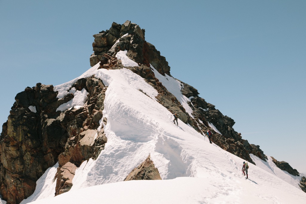
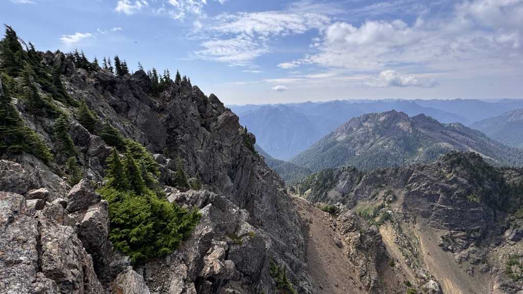
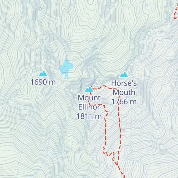
Mount Ellinor is a peak in the Olympic Mountains of Washington, United States. It is located in an area designated as the Mount Skokomish Wilderness. The mountain is a popular day hike in the summer months; the summit is reachable via a steep-but-brief 3.3-mile (5.3 km) trail which gains about 3,200 feet (980 m) in elevation from the lower trailhead.
There are two trailheads, both of which are accessed from National Forest Road 24 north of Lake Cushman. This lower trailhead lies at an elevation of 2,666 feet (813 m), and the upper trailhead at about 3,400 feet (1,000 m); a Northwest Forest Pass is required to park at the upper trailhead.
There's a trail called Mt. Ellinor winter route leading to the summit.
By elevation Mount Ellinor is
# 8 out of 44 in Mason County # 18 out of 100 in Olympic National Forest # 7 out of 13 in Mount Skokomish Wilderness # 87 out of 284 in the Olympic Mountains
By prominence Mount Ellinor is
# 28 out of 44 in Mason County # 57 out of 100 in Olympic National Forest # 9 out of 13 in Mount Skokomish Wilderness
We use GPS information embedded into the photo when it is available.
3D mountains overlay
Adjust mountain panorama to perfectly match your photos because recorded by camera photo position might be imprecise.
Move tool
Rotate tool
Zoom
More customization
Choose which peak labels should make into the final photo and what photo title should be.
Next
Photo Location
Satellitte
Flat map
Relief map
Latitude
Longitude
Altitude
OR
Latitude
°'''
Longitude
°'''
Apply
Register Peak
Peak Name
Latitude
Longitude
Altitude
Register
Teleport
PeakVisor
This 3D model of Sagarmatha National Park in Nepal was made using the PeakVisor app topographic data. The mobile app features higher precision models worldwide, more topographic details, and works offline. Download PeakVisor maps today.
Download OBJ model
PeakVisor
The download should start shortly. If you find it useful please consider supporting the PeakVisor app.
PeakVisor for iOS and Android
Be a superhero of outdoor navigation with state-of-the-art 3D maps and mountain identification in the palm of your hand!