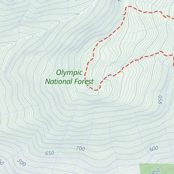
Mount Rose is a 4,301-foot-elevation (1,311 meter) mountain summit located in the southeast portion of the Olympic Mountains, in Mason County of Washington state. It is situated in the Mount Skokomish Wilderness, on land managed by Olympic National Forest. The nearest higher neighbor is line parent Copper Mountain, 1.2 mi (1.9 km) to the north, and Mount Ellinor is 1.7 mi (2.7 km) to the northeast. Precipitation runoff from the mountain drains into Lake Cushman, and topographic relief is significant as the summit rises approximately 3,600 feet (1,100 m) above the lake in less than one mile. Old-growth forests of Douglas fir, western hemlock, and western redcedar grow on the slopes surrounding the peak. In 2006, the Bear Gulch Fire scorched 750 acres of forest on the slopes of Mount Rose from lake level to the summit. Access to the summit is via the 3.2-mile-long Mt. Rose Trail which gains 3,500 feet of elevation.
There's a trail called Mt. Rose Trail #814 leading to the summit.
By elevation Mount Rose is
# 23 out of 44 in Mason County # 49 out of 100 in Olympic National Forest # 13 out of 13 in Mount Skokomish Wilderness
By prominence Mount Rose is
# 33 out of 44 in Mason County # 73 out of 100 in Olympic National Forest # 11 out of 13 in Mount Skokomish Wilderness
We use GPS information embedded into the photo when it is available.
3D mountains overlay
Adjust mountain panorama to perfectly match your photos because recorded by camera photo position might be imprecise.
Move tool
Rotate tool
Zoom
More customization
Choose which peak labels should make into the final photo and what photo title should be.
Next
Photo Location
Satellitte
Flat map
Relief map
Latitude
Longitude
Altitude
OR
Latitude
°'''
Longitude
°'''
Apply
Register Peak
Peak Name
Latitude
Longitude
Altitude
Register
Teleport
PeakVisor
This 3D model of Sagarmatha National Park in Nepal was made using the PeakVisor app topographic data. The mobile app features higher precision models worldwide, more topographic details, and works offline. Download PeakVisor maps today.
Download OBJ model
PeakVisor
The download should start shortly. If you find it useful please consider supporting the PeakVisor app.
PeakVisor for iOS and Android
Be a superhero of outdoor navigation with state-of-the-art 3D maps and mountain identification in the palm of your hand!