We use necessary cookies to make the website work, also they are used to understand site usage and make improvements.
Accept
Reject
PeakVisor
Explorer
Explorer
Ski Map
Hike Map
3D Map
Get PeakVisor App
Sign In
Search by GPS coordinates
Teleport
Latitude
N
S
°
'
''
Longitude
E
W
°
'
''
Units of Length
m/km
ft/mi
Explorer
Ski Map
Hike Map
3D Map
Search by GPS coordinates
Settings
Sign In
Contact us
GPS coordinates
Settings
Share
×
Copy Link
Copy Coordinates
Facebook
Twitter
Email
Scan the QR code and open PeakVisor on your phone
❤ Wishlist
×
Choose
Delete
武心平
Mountain
20
Mountain Hut
0
Mountain pass
0
Lake
0
Ultra
0
Highest check-in
Peak:
Dongyanshan
Elevation:
1 217 m
Most prominent check-in
Peak:
Guanyinshan
Prominence:
511 m
20 check-ins
By Date
By Date
By Elevation
By Prominence
Tianshangshan
1711271936
430 m
(prom:
302 m
)
Jinminzishan
1710059804
630 m
(prom:
28 m
)
Donglushan
1707895650
745 m
(prom:
23 m
)
Niú Zào Kēng Shān
1706432234
243 m
(prom:
22 m
)
Guigongshan
1706431044
207 m
(prom:
6 m
)
Dongyanshan
1705986936
1 217 m
(prom:
186 m
)
Lingyunjian
1705196564
503 m
(prom:
29 m
)
Pansi1jian
1705195034
462 m
(prom:
27 m
)
Neijinminshan
1702712992
598 m
(prom:
28 m
)
Saikoukengshan
1702194832
755 m
(prom:
103 m
)
Guanyinshan
1697200949
616 m
(prom:
511 m
)
Wushifenshan
1693043750
296 m
(prom:
69 m
)
Pansi2jian
1691896680
448 m
(prom:
12 m
)
Zhān Shān ( Jiān Shān )
1691582050
380 m
(prom:
69 m
)
Xiaoyoukengshan
1690620612
834 m
(prom:
22 m
)
Zhugaoshan
1690616105
830 m
(prom:
81 m
)
Yingjieling
1689949620
593 m
(prom:
9 m
)
Huoyanshan
1681633397
379 m
(prom:
62 m
)
Niuganglengshan
1680511349
470 m
(prom:
111 m
)
Zhangchunling
1679821912
300 m
(prom:
18 m
)
Taiwan
Independent peaks:
2 out of 167
New Taipei
Independent peaks:
2 out of 13
Taoyuan
Taipei
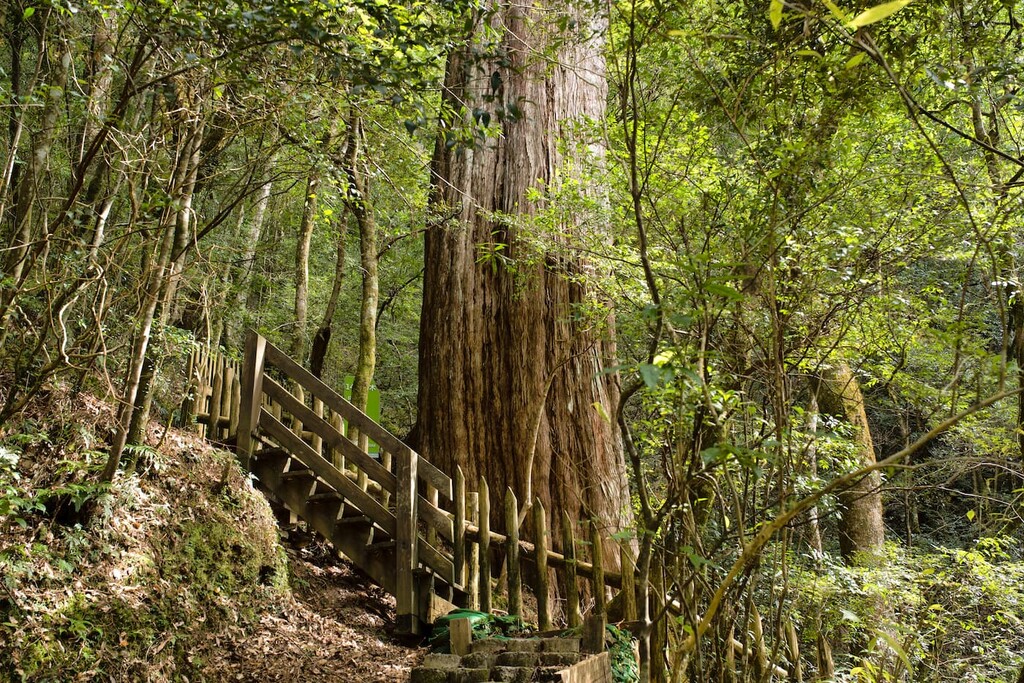
Dongyanshan National Forest Recreation Area
All summits:
1 out of 6
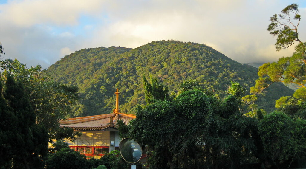
Yangmingshan National Park
All summits:
2 out of 108
Qixingshan Special Scenic Area
All summits:
1 out of 33
陽明山自然文化景觀核心特別景觀區
All summits:
1 out of 9
PeakVisor for iOS and Android
Be a superhero of outdoor navigation with state-of-the-art 3D maps and mountain identification in the palm of your hand!
Scan the QR code to download PeakVisor mobile app