We use necessary cookies to make the website work, also they are used to understand site usage and make improvements.
Accept
Reject
PeakVisor
Explorer
Explorer
Ski Map
Hike Map
3D Map
Get PeakVisor App
Sign In
Search by GPS coordinates
Teleport
Latitude
N
S
°
'
''
Longitude
E
W
°
'
''
Units of Length
m/km
ft/mi
Explorer
Ski Map
Hike Map
3D Map
Search by GPS coordinates
Settings
Sign In
Contact us
GPS coordinates
Settings
Share
×
Copy Link
Copy Coordinates
Facebook
Twitter
Email
Scan the QR code and open PeakVisor on your phone
❤ Wishlist
×
Choose
Delete
María Santander Díaz
Mountain
11
Mountain Hut
0
Mountain pass
0
Lake
0
Ultra
0
Highest check-in
Peak:
Cerro Pintor
Elevation:
4 211 m
Most prominent check-in
Peak:
Cerro Manquehue
Prominence:
499 m
11 check-ins
By Date
By Date
By Elevation
By Prominence
Morro Las Papas
1659880639
1 384 m
(prom:
20 m
)
Cerro Conchalí
1659287505
2 555 m
(prom:
25 m
)
Cerro Manquehue
1658583594
1 639 m
(prom:
499 m
)
Cerro El Carbón
1644759468
1 366 m
(prom:
74 m
)
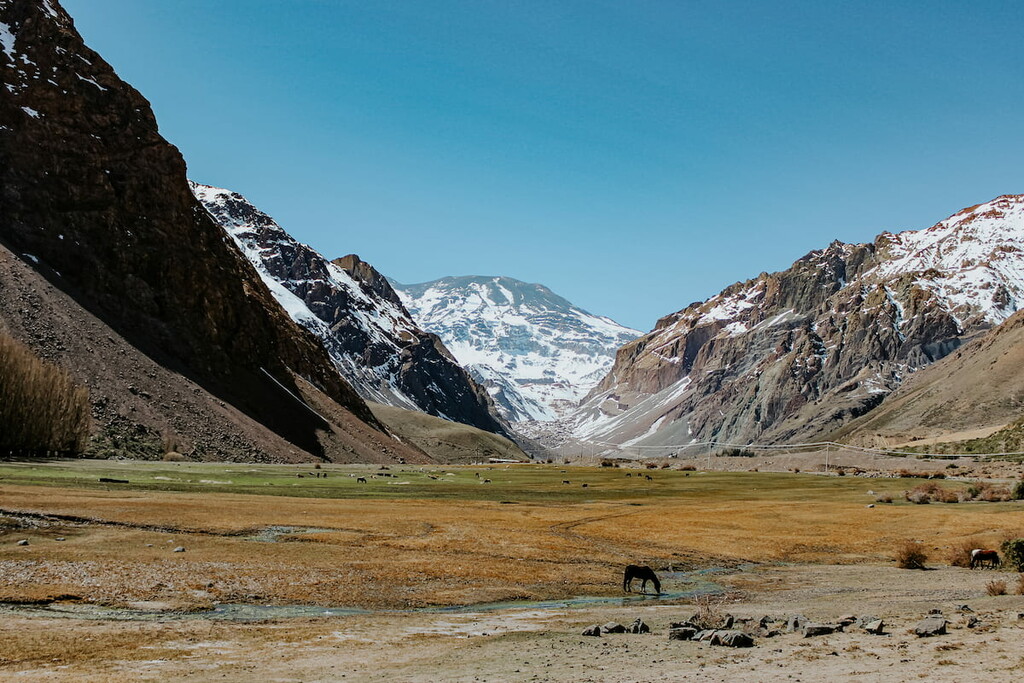
Cerro Pintor
1643473452
4 211 m
(prom:
100 m
)
Cerro Provincia
1642955933
2 751 m
(prom:
248 m
)
Cerro Alto de las Vizcachas
1637420124
1 875 m
(prom:
178 m
)
Cerro Canoitas
1630852970
2 655 m
(prom:
187 m
)
Cerro El Peñón
1628951813
1 552 m
(prom:
169 m
)
Alto del Naranjo
1616593603
1 890 m
(prom:
46 m
)
Cerro Pochoco
1613828714
1 807 m
(prom:
29 m
)
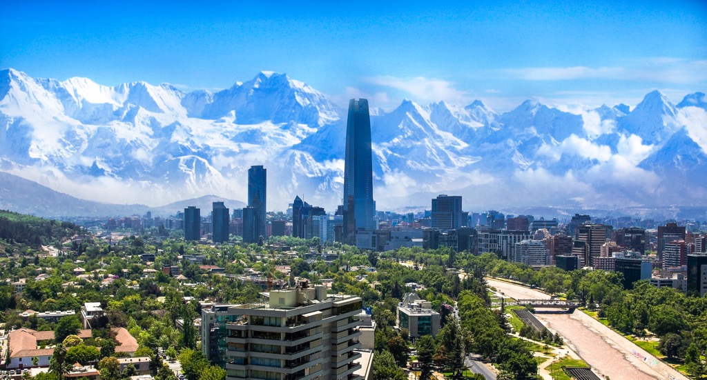
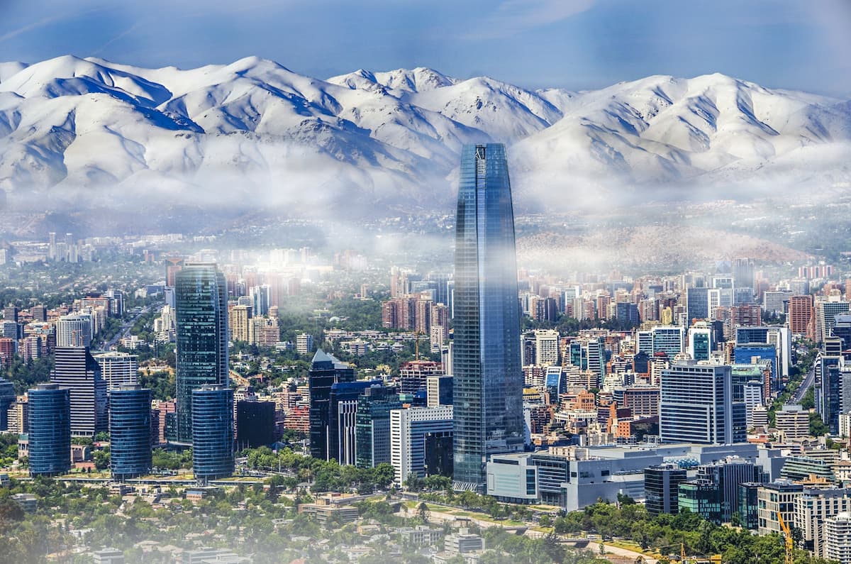
Chile
Independent peaks:
1 out of 2239
Región Metropolitana de Santiago
Independent peaks:
1 out of 103
Andes (Chile, Argentina)
Independent peaks:
1 out of 3606
Aguas de Ramón Natural Park
All summits:
2 out of 10
Santuario de la Naturaleza Los Nogales
All summits:
1 out of 13
Santuario de la Naturaleza Yerba Loca
All summits:
1 out of 21
PeakVisor for iOS and Android
Be a superhero of outdoor navigation with state-of-the-art 3D maps and mountain identification in the palm of your hand!
Scan the QR code to download PeakVisor mobile app