We use necessary cookies to make the website work, also they are used to understand site usage and make improvements.
Accept
Reject
PeakVisor
Explorer
Explorer
Ski Map
Hike Map
3D Map
Get PeakVisor App
Sign In
Search by GPS coordinates
Teleport
Latitude
N
S
°
'
''
Longitude
E
W
°
'
''
Units of Length
m/km
ft/mi
Explorer
Ski Map
Hike Map
3D Map
Search by GPS coordinates
Settings
Sign In
Contact us
GPS coordinates
Settings
Share
×
Copy Link
Copy Coordinates
Facebook
Twitter
Email
Scan the QR code and open PeakVisor on your phone
❤ Wishlist
×
Choose
Delete
Chin-Kai Tseng
Mountain
10
Mountain Hut
0
Mountain pass
0
Lake
5
Ultra
0
Highest check-in
Peak:
Zhenlishandongbeifeng
Elevation:
1 213 m
Most prominent check-in
Peak:
Mt. Miantian
Prominence:
184 m
16 check-ins
By Date
By Date
By Elevation
By Prominence
Touliaoshan
1711080649
490 m
(prom:
93 m
)
Dahu
1679133868
32 m
Zhongyongshan
1679105118
320 m
(prom:
46 m
)
Jiandaoshishan
1676167264
258 m
(prom:
23 m
)
Dagangshan
1674441069
293 m
(prom:
9 m
)
Xiangtian Pond
1673144153
816 m
Mt. Xiangtian
1673143169
945 m
(prom:
30 m
)
Mt. Miantian
1673140331
979 m
(prom:
184 m
)
Niú Nǎi Hú
1671928230
730 m
Zhenlishan
1670643191
1 166 m
(prom:
11 m
)
Zhenlishandongbeifeng
1670642355
1 213 m
(prom:
25 m
)
Mt. Baibin
1670635476
814 m
(prom:
31 m
)
Tik-a-kha (Jhuzihjiao)
1666515833
39 m
Agongdian Reservoir
1666511995
37 m
Neiweipi
1665897720
9 m
Lidingshan
1665802141
658 m
(prom:
30 m
)
Taiwan
Kaohsiung
Taipei
New Taipei
Taoyuan
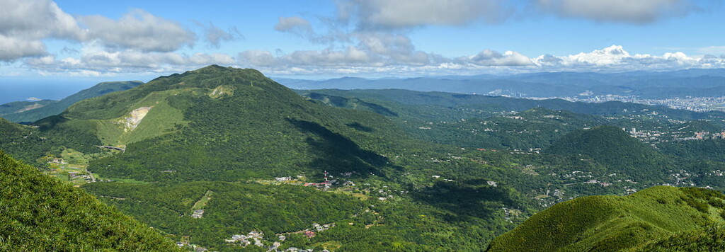
Yangmingshan National Park
All summits:
2 out of 108
Datunshan Lianfeng Special Scenic Area
All summits:
2 out of 14
PeakVisor for iOS and Android
Be a superhero of outdoor navigation with state-of-the-art 3D maps and mountain identification in the palm of your hand!
Scan the QR code to download PeakVisor mobile app