
Scan the QR code and open PeakVisor on your phone
The Western Ghats include 2,682 named peaks. The highest is Anamudi at 2,695 m. Other notable peaks include Manna Malai, Meesapulimala and Doddabetta.
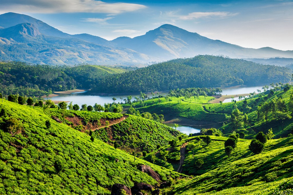
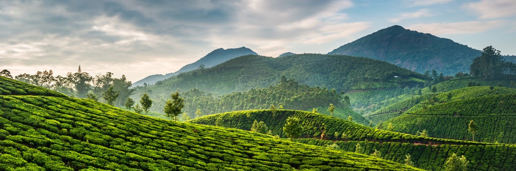
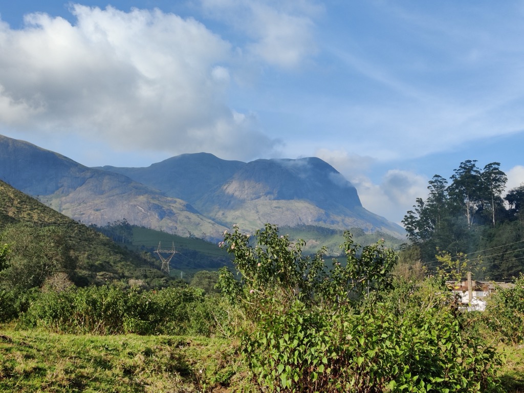
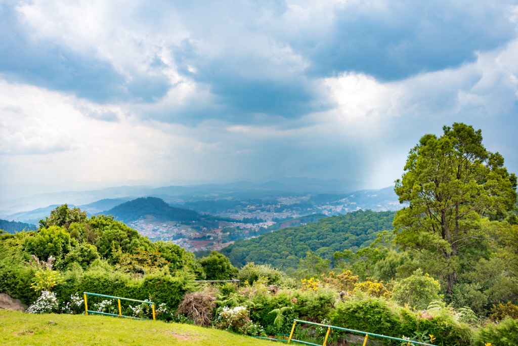
The Western Ghats are a narrow mountain range in southwest India in the states of Gujarat, Maharashtra, Goa, Karnataka, Kerala, and Tamil Nadu. The range stretches for 1,600 km (995 mi) along the Indian Ocean and is a biodiversity hotspot and UNESCO World Heritage Site. There are 2682 named mountains in the Western Ghats. The highest and most prominent mountain is Anamudi (2,695 m/8,842 ft), which is also the highest in India apart from the Himalayas.
The Western Ghats, sometimes called Sahyadri, are located in India and run parallel to the country’s western coast between 30 and 50 km (18 and 30 mi) inland. The range stretches 1,600 km (995 mi) north to south and covers an area of 140,000 sq km (54,055 sq mi) across the states of Gujarat, Maharashtra, Goa, Karnataka, Kerala, and Tamil Nadu. Along India’s eastern coast are the Eastern Ghats and the two ranges meet at the Nilgiri Hills.
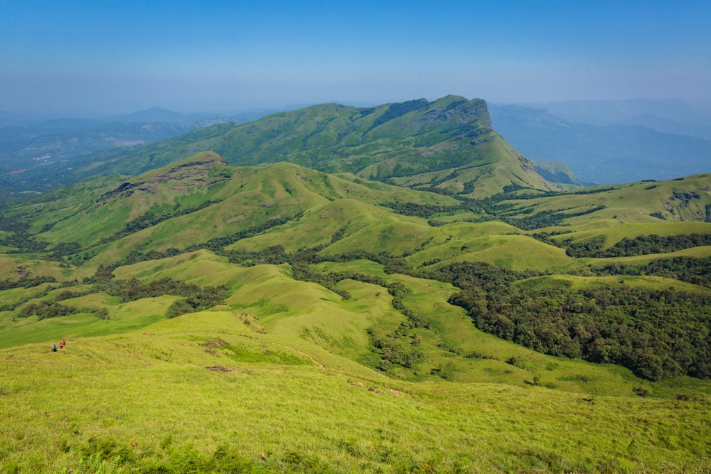
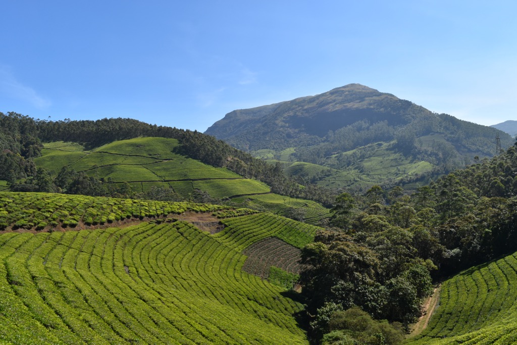
The range runs uninterrupted except for a 30 km (18.6 mi) break at the Palghat Gap. The range is more hilly than mountainous and the average elevation is 915 m (3,000 ft).
One of the highlights of the Western Ghats is the tremendous biodiversity it contains. The range is one of the world’s top eight biodiversity hotspots and a UNESCO World Heritage Site. Given the wide variety of ecosystems and endemic species present along the length of the range, the range is divided into 39 separate national parks, wildlife sanctuaries, wildlife reserves, and forest reserves. Having multiple protected sites allows each one to tailor their conservation plan to the specific flora, fauna, and threats in their area.
A few groupings of protected areas are listed below as they fall from south to north along the range. Within the Agasthyamalai Biosphere Reserve are the Kalakad-Mundanthurai Tiger Reserve, Shendurney Wildlife Sanctuary, and Neyyar Wildlife Sanctuary. Periyar National Park is a well known sanctuary for the tigers and elephants it protects. Around the Anamalai mountains are Eravikulam National Park and the Chinnar Wildlife Sanctuary.
The Nilgiri group is one of the most important landscapes for the variety of ecosystems it encompasses. This includes Silent Valley National Park with never-disturbed tropical evergreen forest, and Mukurthi National Park. Around Talacauvery Wildlife Sanctuary are Pushpagiri Wildlife Sanctuary, Brahmagiri Wildlife Sanctuary, and Aralam Wildlife Sanctuary.
Kudremukh National Park is the fourth largest protected site in the range. Koyna Wildlife Sanctuary, Chandoli National Park, Radhanagari Wildlife Sanctuary are all located near each other in the state of Maharashtra.
Another vital feature of the mountains are the hydrological and watershed services they provide. Around 245 million people live in the surrounding states and get their water from rivers that originate in the Western Ghats.
The Western Ghats are older than the Himalayas and began forming during the Jurassic Period as the supercontinent Gondwanaland separated. As this happened, India became an isolated landmass that, through tectonic movement, ran into and under the Laurasian landmass.
Between 60 and 65 million years ago, the India plate slid over a hotspot. As basalt lava welled up, it tilted the plate eastwards. Another tectonic plate collision around 45 million years ago created the Deccan plateau. Beneath the plateau is almost 3 km (1.9 mi) of basalt.
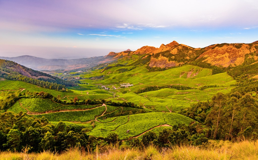
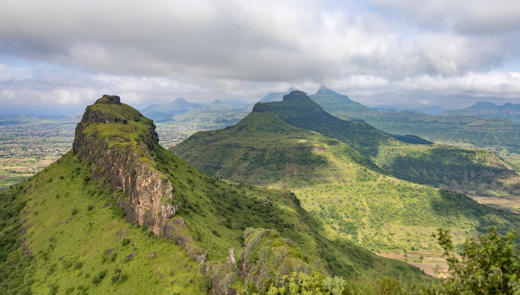
North of Goa, the mountains are steeper and more angular with lateritic plateaus. The western edge forms an escarpment. South of Goa, the hills tend to be more rounded, made up of gneisses and schists that have been eroded down. The tallest peaks are found in the south and contain charnockite granite. There is mining potential in the range, in particular for iron-ore.
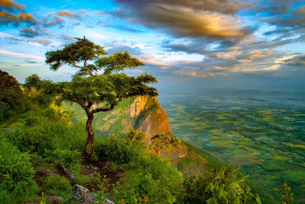
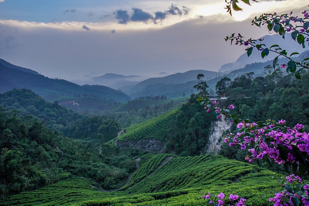
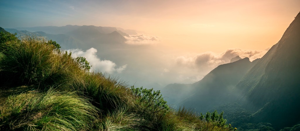
The Western Ghats are a biodiversity hotspot and offer a fascinating look at how high montane forests impact the monsoon weather patterns. The forests trap condensation from rising sea air and release much of it back through transpiration.
Thanks to monsoons and convective rainfall, the western slopes up to 1,500 m (4,921 ft) in elevation support rainforest ecosystems. The majority of rain falls between June and September, and some during the northeast monsoon in October and November. Rainfall on the wetter western slopes average between 200 and 300 cm (79 and 118 in) per year, with some locations inundated with up to 1,000 cm (394 in) per year. High elevations can reach freezing temperatures during the coldest part of the year.
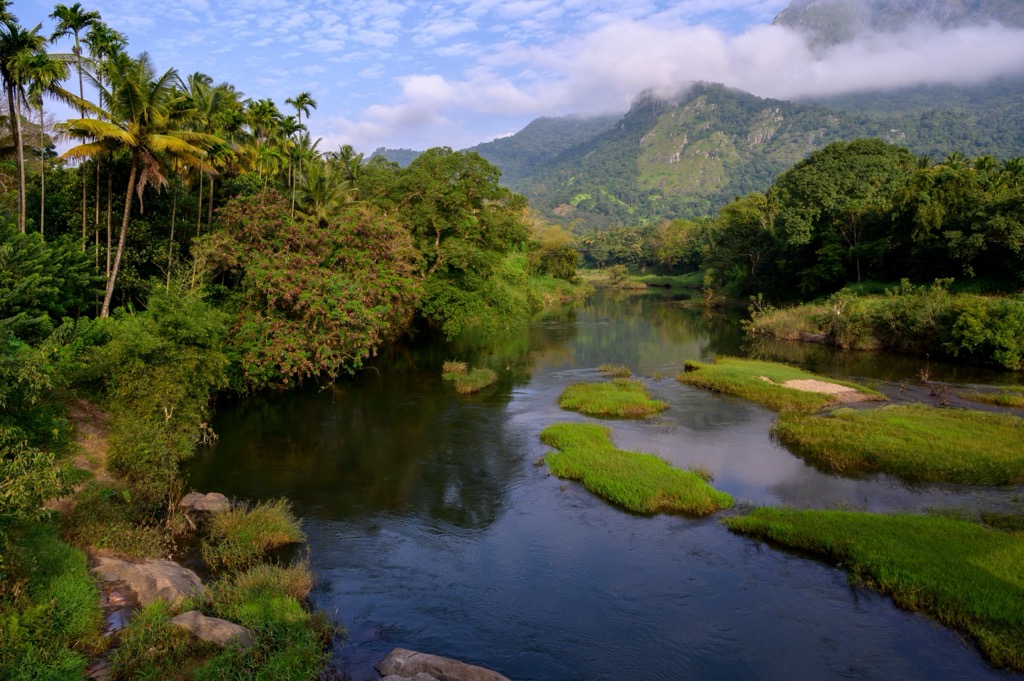
Western slopes have short and fast flowing rivers that carve out gorges and waterfalls. The eastern slopes exist in a rain shadow and are therefore drier. The rivers that flow to the east eventually run into the Bay of Bengal along India’s eastern coast.
The Western Ghats were declared a UNESCO World Heritage Site in 2012 to protect the intact forest and high levels of biodiversity and endemic species. The range houses some of the best examples of non-equatorial tropical evergreen forests.
The mountains also contain threatened habitats like seasonal mass-flowering meadows, Myristica swamps, and Shola forests – a mixed landscape of montane grasslands and patches of evergreen forest. Montane grasslands are important ecologically and for science as they support medicinal plants and the wild relatives of a number of fruits, spices, and grains.
The diversity and speciation of flora and fauna in the Western Ghats tells something of the region’s formation. For example, the black narrow-mouthed frog is related to East African species, indicating a genetic origin before the Indian plate separated from Africa.
Many species found in the mountains are endemic. Of 86 species of Impatiens balsams, 76 are endemic; 12 out of 13 species of Dipterocarpus are endemic; and 23 out of 25 species of Clamus are endemic. Percentage-wise, more than 50% of trees, 65% of amphibians, and 62% of reptiles are endemic.
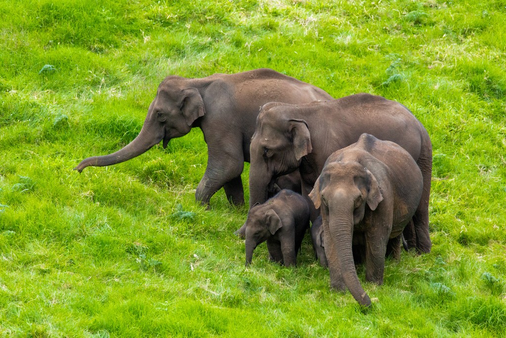
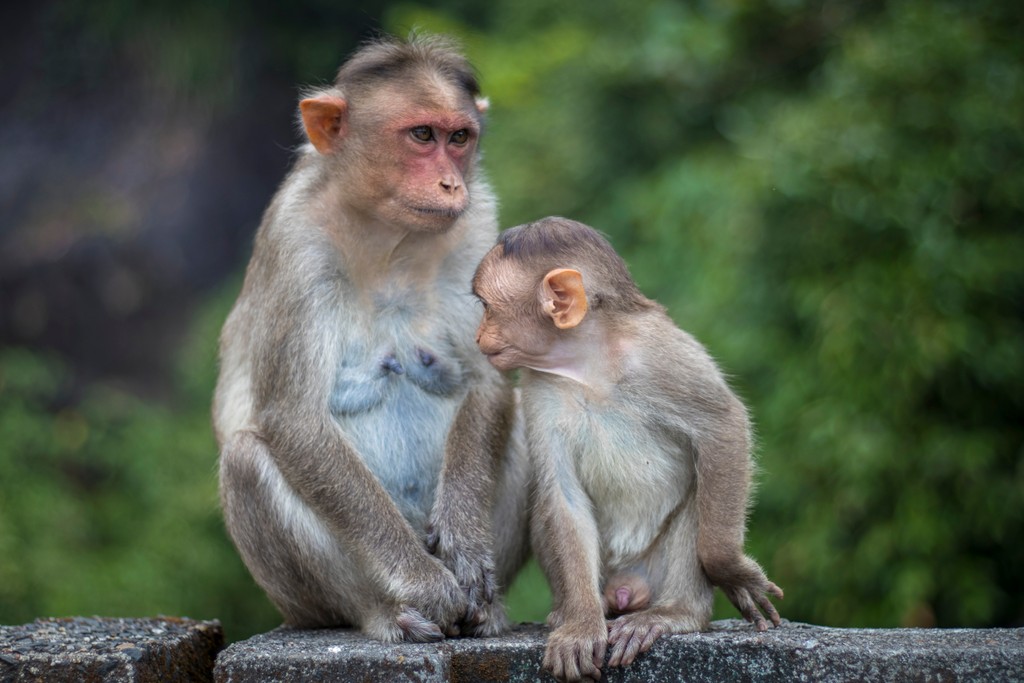
A few flagship mammals living here include Asian elephants (30% of the species’ worldwide population), gaur, and tigers (17% of the world’s tiger population). Other species of note are the lion-tailed macaque, nilgiri tahr, nilgiri langur, red slender loris, sloth bear, and Salim Ali’s fruit bat.
Plenty of birds make their home here, too. Two rare vultures, the Indian vulture and white-backed vulture, can be spotted in some of the wildlife sanctuaries and national parks. Other birds to look out for are the nilgiri blue robin, nilgiri wood pigeon, and broad-tailed grassbird.
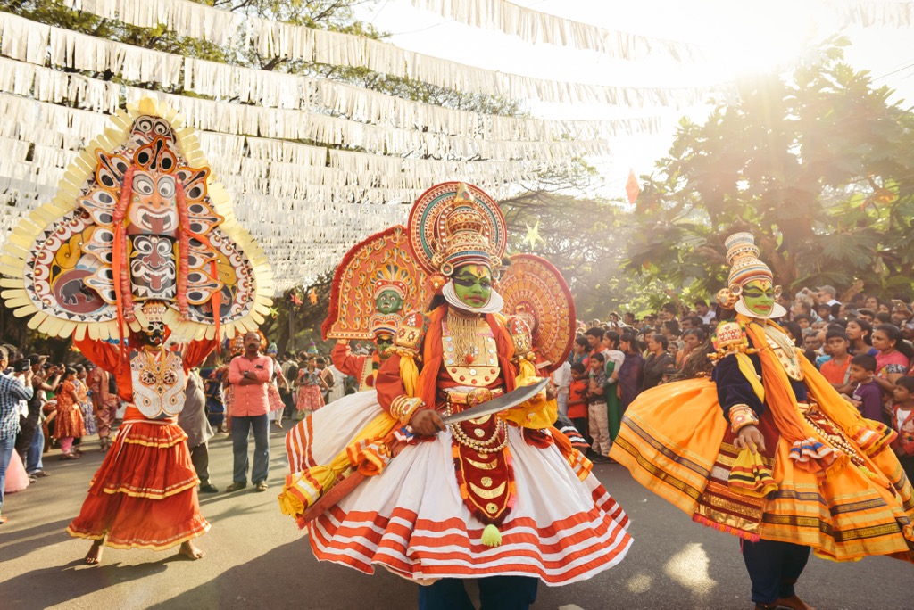
The Western Ghats are home to a number of tribes and indigenous groups, often collectively called Adivasi peoples. Some parts of the Western Ghats are steep, thickly forested, and have high rates of tropical disease such as malaria. These conditions historically kept populations low in some areas and allowed tribes to remain fairly isolated. Tribes would often rely on each other, each providing different resources in an extended network. One example of this is in the Nilgiri Hills with the Toda, Kota, Badaga, and Kurumba, and the Irulas, Uralus, Pniyans, and Chettos from neighboring hills. Goods and services exchanged include clothing, food, carpentry, and thatching.
Throughout the hills are examples of ancient dolmens, old cave paintings, and megalithic burials sites around Chinnar. More than 2,000 sacred groves lie tucked into the mountains. Temples in Srivilliputhur Sanctuary, Agasthyamalai, Periyar, Talacauvery, and Someshwara draw religious pilgrims each year.
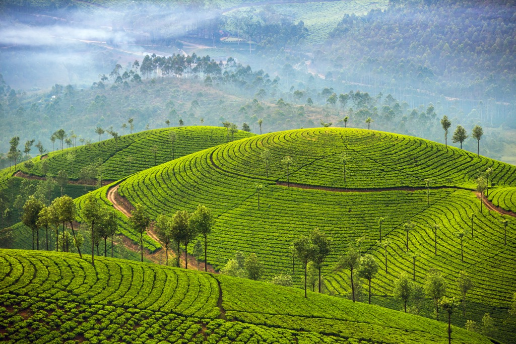
In the south, hill stations in the mountains are the legacy of British rule in India. India was ruled by the British crown from 1858 to 1947, and occupied by British colonizers for a century prior. The British created hill stations to escape summer heat in the cities, leaving behind mountain towns dotted with tea and coffee plantations.
The current population around the Western Ghats is over 50 million people. As people move in, tribes face increased competition for the resources they use for their primarily subsistence lifestyle. Growing populations pose a series of threats to the land. This includes greater demand for timber and agricultural land, illegal hunting and fishing, livestock grazing, and mining activities. Plans to expand reservoirs and add windmills in the mountains would encroach upon the intact ecosystems.
With numerous peaks, hill stations, and protected areas, the Western Ghats have no shortage of trekking, wildlife viewing, and cultural opportunities. When planning treks, be aware that many places require permits to enter the protected area. It is best to reach out ahead of time to make sure you will be able to enter when you arrive.
In the southern part of the mountains in the states of Kerala and Tamil Nadu, the trek from Munnar to Kodaikanal covers approximately 32 km (20 mi) between the two towns. The total distance is greater but some parts are typically driven so that the hike includes the most scenic stretches.
The route begins in Munnar. There are several route options but a popular scenic itinerary passes Top Station, Koviloor, Vandaravu Mala, and Kilavara. Along the way, you’ll come across lookout points with sweeping views across the mountains, pass by waterfalls, and weave through thick forest. There’s a chance to spot elephants and deer along the way.
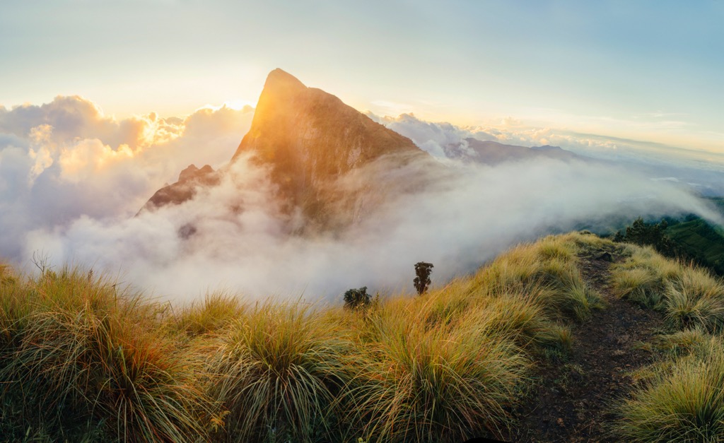
Near to the Munnar-Kodaikanal trek is Anamudi Peak (2,695 m/8,842 ft). This is the highest peak in India aside from the Himalayas. The peak is located in Eravikulam National Park. It is required to get permission from park officials. At times the hike may be closed so check ahead of time to arrange permits.
There are two options for reaching the summit of Anamudi. The first is a two hour hike from Eravikulam National Park that passes through the jungle. The other option is a two to three day trek beginning at the Eravikulam foothills. Hikers stay in mountain hamlets overnight. The easiest way to arrange a trek to Anamudi is through a tour company that will take care of guides, permits, transportation, lodging, and food.
Another great multi-day trek option is to Meesapulimala. The trek typically lasts two nights, three days and requires a guide – a great way to learn about the plants and animals along the way. En route to the summit on day one, the trail crosses through plantations, forests, and grasslands. Day two climbs to the tea plantations on Ellapatti. Meesapulimala is near Periyar National Park and Tiger Reserve which make for excellent day trips.
Located in the state of Kerala, Silent Valley National Park protects one of India’s most important undisturbed tropical evergreen forests. Because of its pristine status, all visitors to the park must be accompanied by a guide and no one is allowed to stay overnight in the park. The park contains short trails that pass through grasslands, forest, and along rivers. Although the hiking is not hard, it is worth the visit to be surrounded by lush, unaltered landscapes and the wildlife that lives there.
Kalsubai (1,646 m/5,400 ft) is the highest peak in Maharashtra and the forested mountain is dotted by dozens of waterfalls and cultural sites. The trail passes by the Kalsubai Temple. The temple is dedicated to the Goddess Kalsubai Devi and receives many religious visitors each year. The trek is about 12 km (7.5 mi) and most people do it in a single day.
The Western Ghats span five states and can be reached via a number of large cities and towns. Kochi and Coimbatore are two popular cities to pass through to access the southern part of the range. Mumbai is a large city with access to the northern portion.
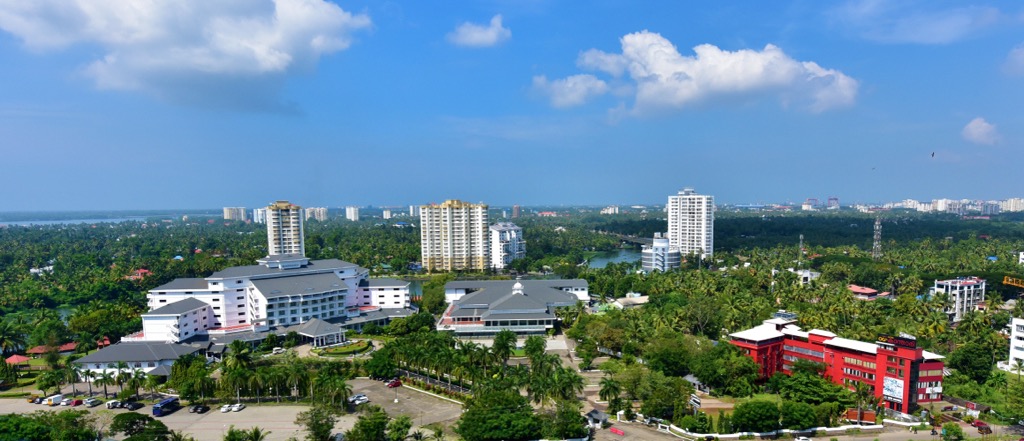
Located in the state of Kerala, Kochi has a population of 3,406,000 people. The town is rich with history, drawing on influences from the Ming Dynasty, the Dutch, British, Portuguese, and Jews, as well as from the Keralan Malayalis who make up the majority of the city’s population today.
There is plenty to do in Kochi before or after heading to the mountains. Princess Street is the city’s commercial center and is surrounded by restaurants and hotels. The Kathakali Dance Theater shares ancient Hindu stories. Visit the famous fish market where you can buy your fresh-caught fish and bring it to a nearby stall to have it cooked for you. Kochi is less crowded and touristy than some other major cities.
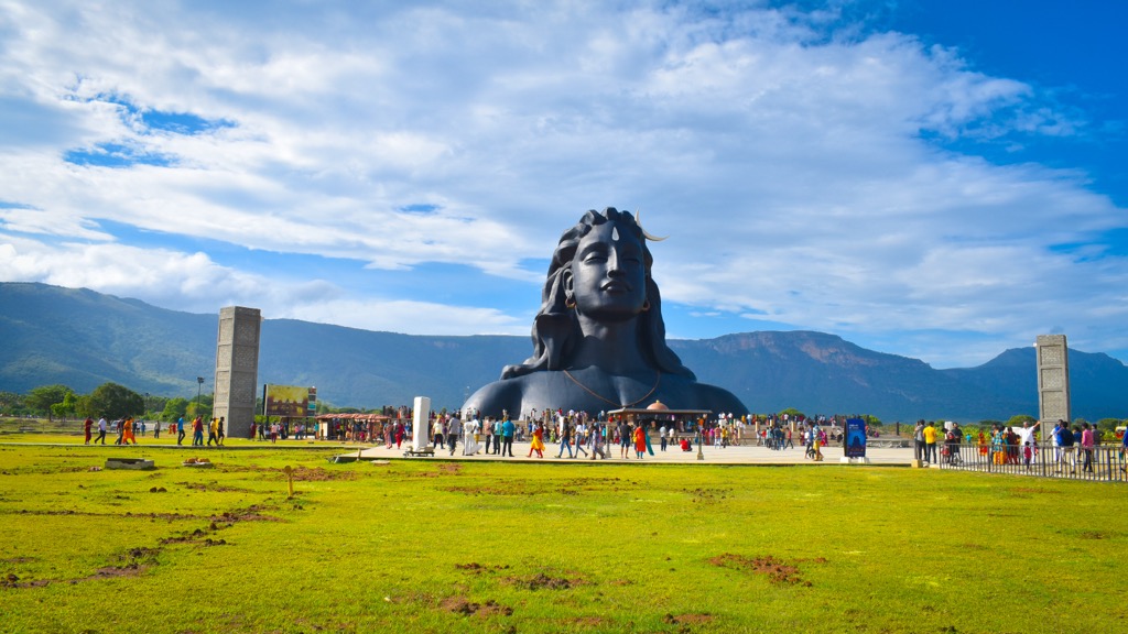
Coimbatore is home to over three million people in the state of Tamil Nadu. From here it’s easy to get to the Nilgiri Biosphere Reserve. Attractions around the city include the Vydehi Waterfalls, the 112 ft (34 m) tall Adiyogi Shiva Statue – the world’s biggest bust statue of the Hindu god Shiva, and the Marudhamalai Hill Temple.
A rich agricultural zone producing cotton, the city is a major hub for textiles. It’s easy to get here via plane, car, or train and you’ll easily find accommodation ranging from budget to luxury hotels.
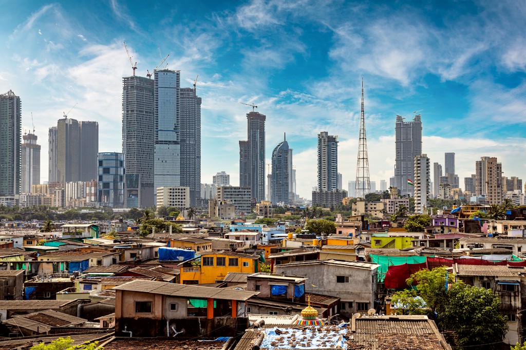
Mumbai is the capital of Maharashtra. With a population of nearly 21,400,000 people, the city is a busy metropolis for anyone who wants to be immersed in urban India. With hundreds of sites to see and markets to explore, here are a few suggestions for things to do in the city. Check out the Chhatrapati Shivaji Maharaj Terminus, an impressive Gothic style train station with Victorian, Hindu, and Islamic influences.
Visit the Dr Bhau Daji Lad Mumbai City Museum in the verdant gardens of Jijamata Udyan, and spend an afternoon browsing the extensive permanent collections and temporary exhibits to learn about Mumbai’s history. The Gateway of India, an enormous stone arch facing the Mumbai Harbor, is a great spot to go to soak up the life of the city. Street vendors, dancers, and musicians gather, and boats depart for Elephanta Island.


The highest peak in the Western Ghats is Anamudi, at 2,695 m.
The Western Ghats have 2,682 named peaks.


