Get PeakVisor App
Sign In
Search by GPS coordinates
- Latitude
- ° ' ''
- Longitude
- ° ' ''
- Units of Length

Yes
Cancel
❤ Wishlist ×
Choose
Delete
The fourth highest mountain range in Slovakia, Little Fatra, has always been an attractive destination for tourists and nature enthusiasts. The highest and most prominent peak in the range is Veľký Kriváň (1,709 m/5,609 ft). Additionally, the most famous peak is Veľký Rozsutec (1,610/ 5,281 ft), which can be found in the official logo of the national park.
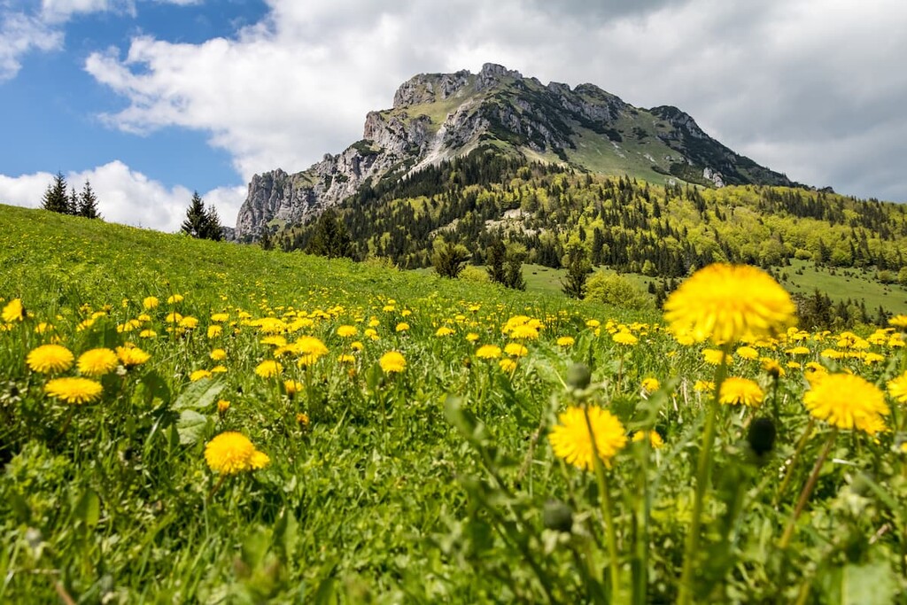
The Little Fatra mountain range lies in the northwest of Slovakia in the Žilina region and is part of the Inner Western Carpathians, which belong to the Fatra-Tatra Area. It is a part of the westernmost high mountain range in Slovakia and lies in the districts of Žilina, Martin, Ružomberok and Dolný Kubín.
Although the name might suggest otherwise, Little Fatra (Malá Fatra in Slovak) is only “little” in terms of the area it covers. It expands over the area of 54,900 ha (135,660 acres), which is around 20,000 ha (49,500 acres) less than its sister range, Great Fatra. However, the average elevation of the peaks of the Little Fatra is higher.
Home to beautiful and diverse nature, it was declared a protected landscape area in 1967, and in 1988, its northern part became a national park (Malá Fatra National Park), covering the area of 22,630 ha (55,919 acres).
Interestingly, Little Fatra is the only mountain range in Slovakia divided into two parts by a river. The Váh River—passing through the Strečno Pass—divides Little Fatra into the higher, north-eastern Krivánska Fatra, named after its highest peak and the highest peak of the whole Little Fatra—Veľký Kriváň (1,709 m/5,607 ft). However, this peak and this subrange are not to be mistaken with Kriváň in High Tatras.
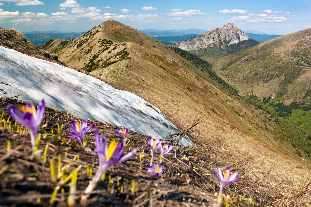
The lower part lying in the southwest is named Lúčanská Fatra and its highest mountain is Veľká Lúka (1,476 m/4,843 ft). Another notable peak in this part of Little Fatra is Minčol (1,364 m/4,475 ft) with its characteristic double metal cross. In the southern part of Lúčanská Fatra a solitary distinctive rocky peak named Kľak (1,352 m/4, 436 ft) is located and it is also the westernmost peak of Little Fatra.
Lúčanská Fatra borders the Upper Nitra Basin and the Žiar mountain range to the south, the Strážovské vrchy to the southwest and the Žilina Basin to the west. Krivánska Fatra borders the Žilina Basin to the west, the Kysucká vrchovina to the north, the Šípska Fatra to the east, from which it is separated by the valleys of the Orava and Váh rivers, and the Turiec Basin to the south.
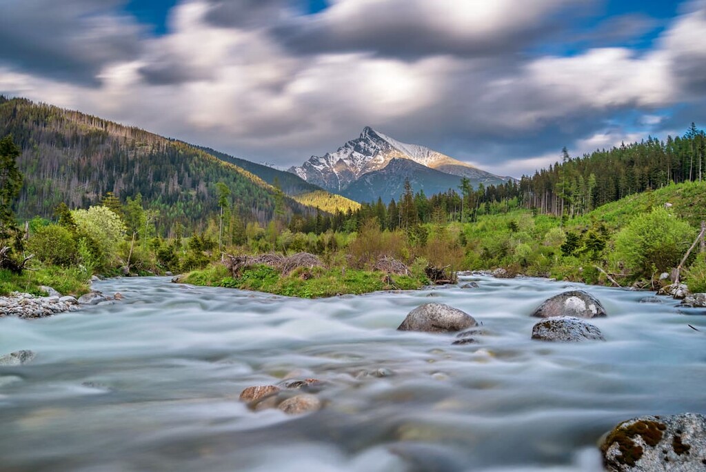
The mountains of Little Fatra were formed by strong tectonic movements during the Tertiary and Quaternary periods. It is a core mountain range with a metamorphic core that consists mainly of slate and gneiss. This core is then covered by limestone, quartz and dolomite sedimentary layers.
As a result, the landscape of Little Fatra offers a beautiful and diverse natural scenery full of rocky formations, gorges, forested slopes, alpine meadows and melancholic valleys.
The relief of Little Fatra is created mainly in relation to the erosion-resistant rocks. The sharp and rugged relief on the erosion-resistant rocks stands in stark contrast to the substantially less rugged and more rounded surface found on the rocks that are more prone to erosion. A good example of this is the contrast between the rocky Veľký Rozsutec and neighboring Stoh, which is smoother and grassy.
The main ridge is around 75 km (46 mi) long and passes through the middle of the mountain range which includes almost all the peaks of Little Fatra. The Váh River that separates Little Fatra into two parts forms the largest river meander in Slovakia—the Domašín Meander.
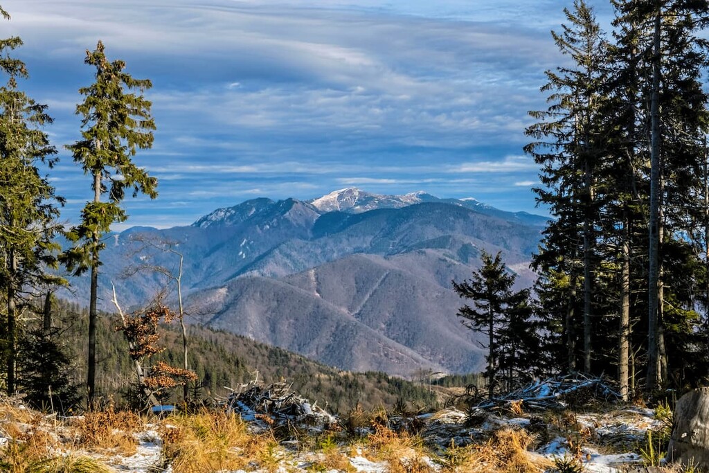
Little Fatra is also home to a number of springs and waterfalls, the highest one of which is Šútovský vodopád with the height of 38 m (124 ft).
In the limestone areas, many caves were created, most of them being located in Vrátna, Belianska and Kúrska Valleys. The longest one is Vyvieračka with the length of 620 m (2,034 ft). It has been partially inundated and serves as a source of freshwater for the municipality of Terchová.
The mountain range is densely forested with forests covering over two-thirds of the area, with the exception of the high ridges. Forests in the range are mostly mixed with deciduous trees, predominantly beech trees.
Due to the range’s steep relief and high elevation, the flora and fauna within the range are very diverse—a typical feature of the Western Carpathians. Therefore, in a relatively small area you can find seven types of vegetation zones, from beech trees to the alpine level flora.
There are around 1,141 types of plants at the lower elevations of the range and more than 900 known plants in the higher elevations, including 22 plants that are endemic in the Western Carpathians and 4 plants that are endemic in Little Fatra (i.e., Alchemilla sojakii, Alchemilla virginea, Euphrasia stipitata, and Sorbus margittaiana).
There are also precious alpine plants, some of them protected by law such as Pulsatilla slavica, Aster alpinus, Gentiana clusii and Dianthus serotinus. Another distinctive feature of local flora is that the slopes in the levels with dwarf mountain pines are covered by extensive blueberry bushes.
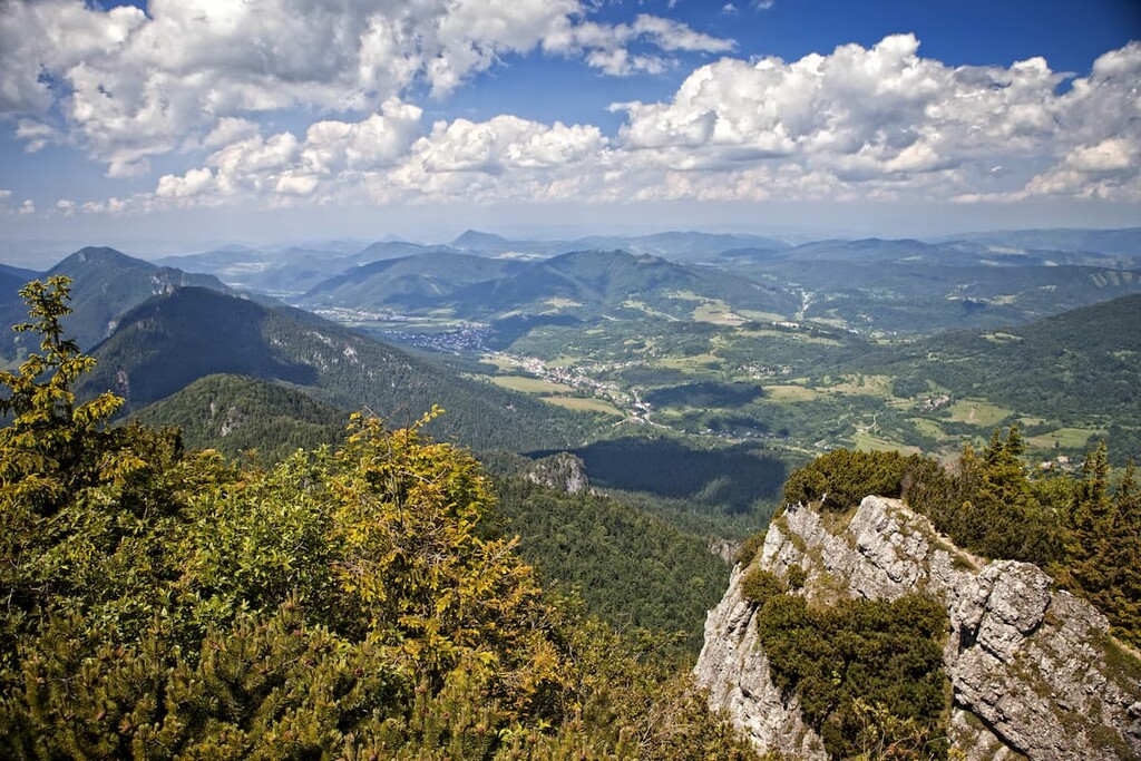
The fauna of Little Fatra doesn’t lack in diversity either, with 3,000 types of invertebrates and 210 types of vertebrates.
The mountains of Little Fatra are home to mammals such as wolf, roe deer, red deer, Eurasian lynx, Eurasian otter and brown bear. Bird species include golden eagle, peregrine falcon, the Eurasian eagle-owl, boreal owl, black woodpecker and common kingfisher.
Little Fatra is also home to reptiles and amphibians such as fire salamander, Aesculapian snake, common European viper and Carpathian newt.
The origins of the first human settlements around Little Fatra can be traced back thousands of years, as evidenced by archeological finds of stone tools in Krasňany, Belá and Lysice. The settlement of the region gradually intensified, culminating during the time of the Wallachian and Kopaničiar colonization in the fifteenth to seventeenth centuries.
It was the Wallachian colonization that had a major impact on the present-day form of Little Fatra. Wallachians (herdsmen from what is now Romania) arrived in the area to herd cattle. In order to do so, they cultivated pasturelands by logging and burning the forests. These logged meadows are now known as “hole” in Slovak, and they are characteristic of the range.
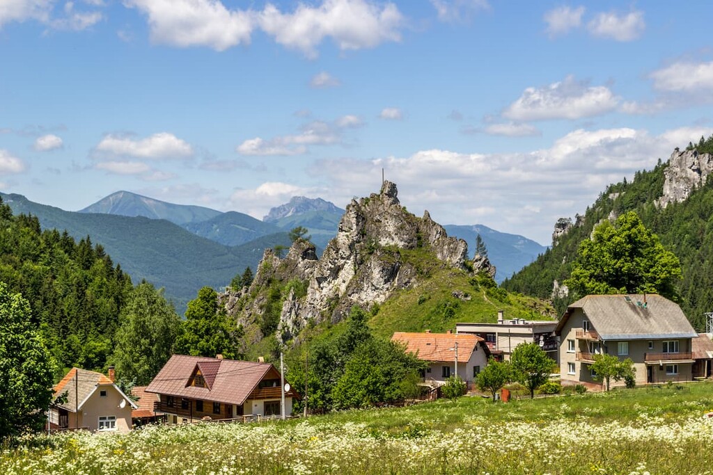
As Little Fatra is a relatively isolated and remote region, many of the villages in the area preserve traditions and unique Slovak folklore.
Little Fatra is a year-round destination for those seeking quality hiking and skiing. Visitors can select from multiple hiking trails of all levels. Each of them offers the possibility to enjoy the unique nature of Little Fatra and spectacular views of the surrounding mountain ranges.
The breathtaking scenery and natural beauty make Little Fatra one of the most popular and visited mountain ranges in Slovakia, offering well-marked paths, ideal conditions for ridge trails and several mountain huts (Chata Pod Chlebom, Chata Martinské hole, Chata pod Kľačianskou Magurou, Chata pod Suchým, Chata na Grúni) located in convenient distances across the mountain range.
Rocky and dominant, Veľký Rozsutec contrasts beautifully with its surroundings and its unmistakable jagged character makes it one of the most visited mountain peaks in Little Fatra. Veľký Rozsutec sits between the saddles Medziholie and Medzirozsutce and there are several options to start the trail.
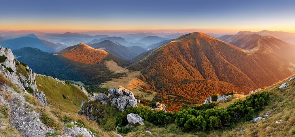
The most popular one starts in the village of Štefanová that is accessible by car or bus from Žilina. It takes about an hour and a half to reach the saddle Medziholie. From here, it takes about 1 to 1.5 hours to reach Veľký Rozsutec. When hiking up, you need to climb rather steep rocks with the help of chains, but if you manage and given the weather conditions are favorable, you will be rewarded with a beautiful panoramic view.
Another option is to start at Hotel Diery at the outskirts of Terchová, which is accessible by car. This trail is considered one of the most beautiful in Little Fatra, as it passes through the Jánošíkove diery.
From the saddle Medzirozsutce it is also possible to hike to Malý Rozsutec. This hike is a little bit shorter than hikes to Veľký Rozsutec but also very rewarding.
It is important to note that, due to nature conservation, both trails from Medziholie and Medzirozsutce are closed between March and June in order to allow wild animals to roam with their young. It is, therefore, advisable to check local websites for more information before setting off.

All trails leading to Veľký Rozsutec or Malý Rozsutec are around 10 km (16 mi) long and their difficulty is classified as intermediate to expert.
A hike to the second highest mountain of Little Fatra—Malý Kriváň (1,671 m/5,482 ft)—is a relatively demanding but beautiful all-day hike. Compared to Veľký Rozsutec and Malý Rozsutec, this trail does not tend to be as crowded. Its location on the main ridge makes it popular and accessible from different starting points.
A popular, time-efficient and family-friendly option is to set off from Vrátna Valley, take a chair lift ride to the Snilovské sedlo and continue from there. It then takes around 2 hours to get to Malý Kriváň and the elevation difference is 445 m (1,459 ft).
It’s also possible to start in Nezbudská Lúčka (Strečno), a village accessible by car or trains from Martin or Žilina. This trail passes through Suchý, Biele skaly, and Stratenec and can be finished in just under 5 hours. The elevation difference is 1448 m (4,750 ft).
From Malý Kriváň you can enjoy views of Suchý, Biele skaly, Stratenec, Pekelník, Veľký Kriváň or Chleb, Stoh, Veľký Choč, Veľký Rozsutec, and Malý Rozsutec as well as the Lower and Western Tatras.
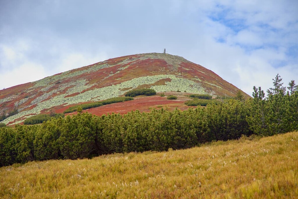
The highest peak of Little Fatra with the elevation of 1,709 m (5,607 ft) is easily accessible by a chair lift from Vrátna Valley but true mountaineers rarely visit it alone and combine it with a visit to other peaks of the main ridge.
Those who want to experience the elevation difference of more than 1,000 meters (3,280 ft) can start the trail from the village of Šútovo, which is accessible by car or train from Martin, stop by at Chata pod Chlebom (located, as the name suggests, “under the peak Chleb”) and continue to Veľký Kriváň through the Snilovské sedlo.
The trail starting in Šútovo passes along the Šútovo waterfall with a vertical drop of 38 metres (124 ft) which makes it the fourth highest waterfall in Slovakia and the highest waterfall in Little Fatra.
It is located about 4 km (2.5 mi) from Šútovo and a walk to the waterfall is a popular activity among families with children. No matter which trail you choose, once you reach Veľký Kriváň, you’ll be able to enjoy stunning panoramic views.
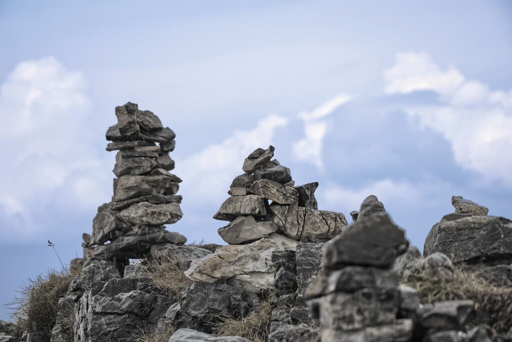
Although this part of Little Fatra might be less frequently visited, Lúčanská Fatra is no less interesting than the neighboring Krivánska Fatra.
Indeed, it has a more mellow character, as it is more forested, and even though there are several starting points to its individual peaks, the ridge trail can be especially rewarding. As this area hasn’t been declared a national park, hikers definitely have more freedom when it comes to sleeping under the open sky.
It starts in the Fačkovské sedlo, which forms a natural border between Lúčanská Fatra and the Strážovské vrchy, and ends in Strečno. It is a compact and rewarding two-day trek with rather big elevation differences passing along grassy peaks, dense forests and colorful meadows.
The trail passes through Reváň, Kľak, Ostrá skala, Skalky, Janková, Hnilická Kýčera, Horná lúka, Veterné, the highest mountain of Lúčanská Fatra—Veľká lúka (1,476 m/4,843 ft), Zázrivá, and Minčol, around which many historic artifacts from the times of battles during the Slovak National Uprising can be found, including a cannon.
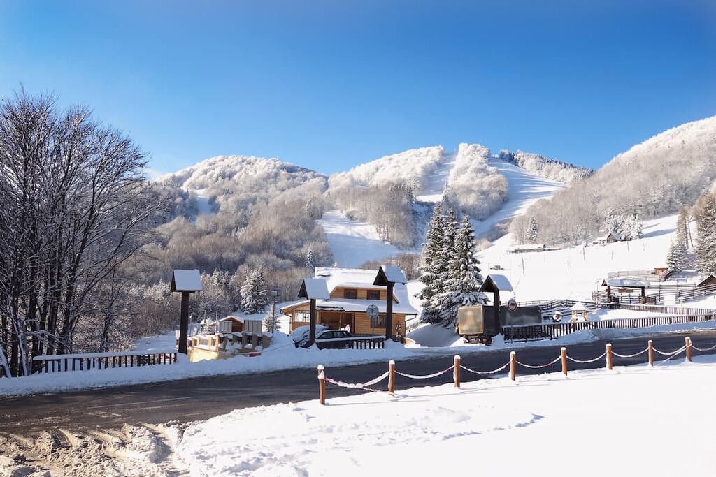
All the peaks can also be accessed individually and an easy hike to Veľká lúka—commonly referred to as “Martinské hole” and starting from the district of Stráne in Martin—is especially popular among locals. On top of the mountain there is a characteristic communications tower Krížava recognizable from many kilometers away.
When visiting, be sure to check out the local via ferrata, which is a popular climbing route along the mountain stream, as well as the ski center Winter Park Martinky. Chata Martinské hole is located just below Veľká lúka and is open year-round.
The main ridge of Krivánska Fatra starts in the municipality of Nezbudská Lúčka (Strečno). The best way to get to Strečno is by train from Žilina or Martin. The whole trail is around 30 km (18.6 mi) long and offers stunning views and beautiful nature. The area is a national park and therefore sleeping is only possible in designated areas.
The first peak to reach on this trail is Suchý. Continuing along the rocky ridge path there is Stratenec, Malý Fatranský Kriváň, Pekelník and Veľký Fatranský Kriváň, leading then all the way to the Snilovské sedlo. From here the trail continues to Chleb, Hromové, Steny, Stoh, Veľký Rozsutec and ends in Terchová.
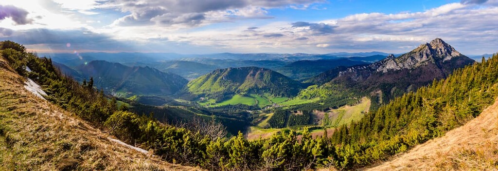
There are two mountain huts along the way, the first one being Chata pod Suchým, located at the very start of the trail before reaching the peak Suchý. The next mountain hut is Chata pod Chlebom located under Chleb. Along the way, there are two natural streams providing drinking water, one of them located approximately 1 km (1.6 mi) before Veľký Kriváň and another one near the saddle Medzirozsutce.
Jánošíkove diery (“Jánošík’s Holes”) should be on every list of places to visit in Little Fatra. Created by the Dierový stream, it is a unique system of canyons and narrow gorges interwoven with the system of steel ladders, small bridges and chains.
Dolné (Lower), Nové (New) a Horné (Upper) Diery, collectively referred to as Jánošíkove diery, form a breathtaking scenery with more than 20 waterfalls in this region.
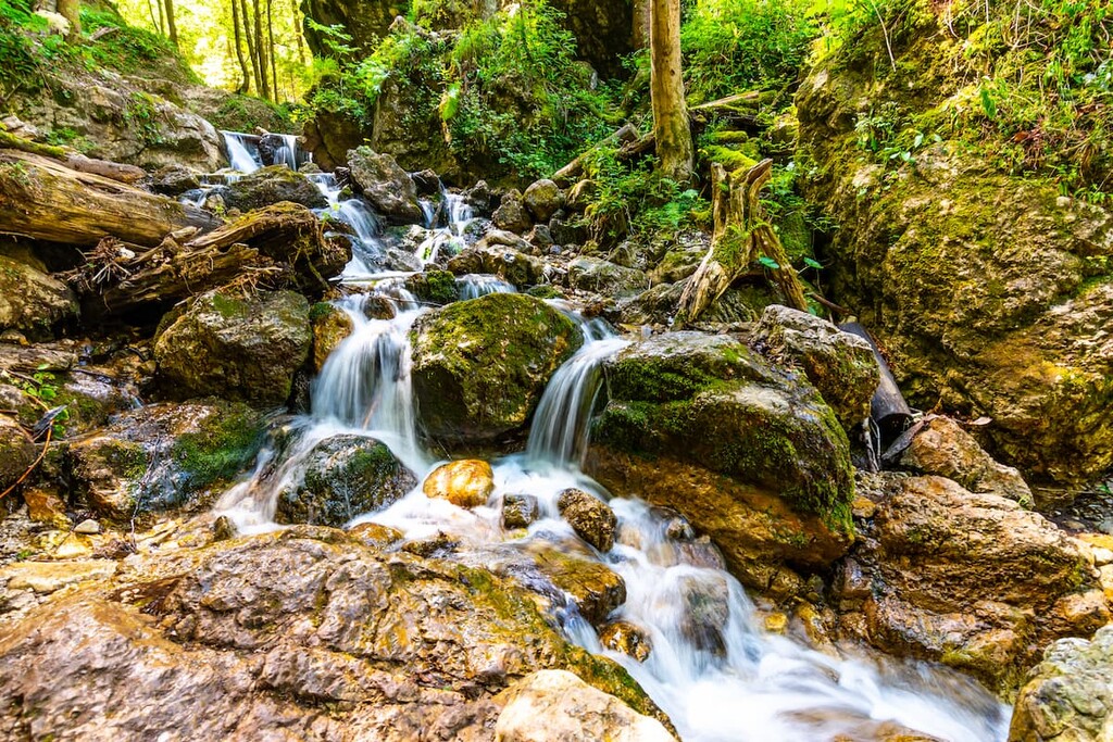
This nature trail begins at Hotel Diery near Terchová, passes through Dolné and Nové Diery. It contains a number of steel ladders and bridges to help you navigate the rugged path and, as such, it is suitable for families with children. From Terchová to Dolné and Nové Diery it takes around 1 to 1.5 hours to complete this trail.
Those who are interested in a longer adventure can continue the trail to Horné Diery. This part is without a doubt more demanding and from the crossing it takes around 2.5 hours to get here. From Jánošíkove diery, it is possible to continue the trail to Malý Rozsutec, Veľký Rozsutec, Stoh, or Osnica.
Vrátna Valley is one of the most attractive areas of Little Fatra. Although there are several access points, the most famous one is undoubtedly the impressive entrance through majestic Tiesňavy Gorge, which was declared a national nature reserve. The scenic road winds through various rocky formations and visitors can marvel at the rich presence of precious animal and plant species.
Besides being a natural spectacle itself, Vrátna Valley is also a sought-after destination for the lovers of skiing. The ski resort Vrátna offers more than 15 km (9.3 mi) of slopes and serves as a starting point for trips to the main ridge of Krivánska Fatra.
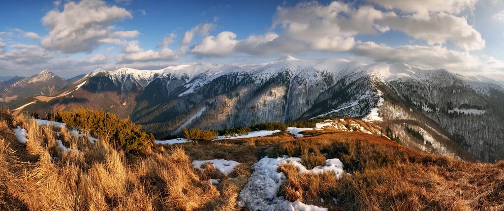
For those who want to spare themselves an elevation difference of 750 m (2,460 ft), there is a chair lift that can take them from Vrátna Valley to Snilovské sedlo (1,490 m/4,888 ft) in just a few minutes.
Heading to Little Fatra and wondering where to stay? Be sure to check out these cities:
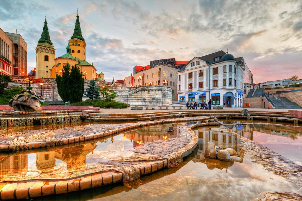
The fourth largest city in Slovakia and the seat of the Žilina administrative region, Žilina is the main industrial hub in the area. Sitting at the confluence of the rivers Váh, Kysuca, and Rajčanka and surrounded by beautiful mountainscape, Žilina is easily reachable by car and regular trains from major cities. So, it’s the perfect place to visit when traveling to Little Fatra.
Apart from being the seat of several cultural institutions, Žilina is also known for the historic landmarks found in and around the city, such as castles (Budatín Castle, Strečno Castle, Lietava) and churches (Church of the Holy Trinity, Church of The Conversion of St Paul the Apostle). The Strečno Castle rising above the river Váh was also the filming location of the American movie “Dragonheart.”
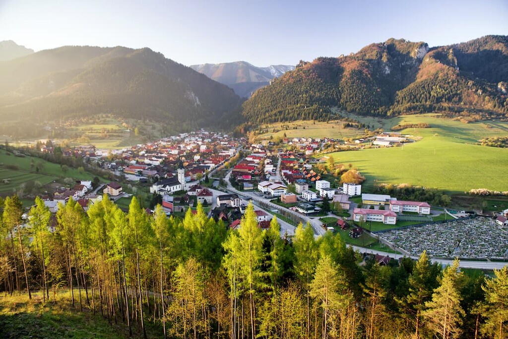
Located approximately 25 km (15 mi) to the east of Žilina, Terchová is the most popular tourist center when visiting Little Fatra, thanks to its ideal location, rural architecture, and rich folklore traditions. This municipality is an excellent starting point for many beautiful trips in Krivánska Fatra, including ridge trails and Vrátna Valley or Jánošíkove diery.
Overall, there are around 280 km (174 mi) of hiking and cycling paths around Terchová. An international folklore festival called Jánošíkove dni (“Jánošík’s days”) has been organized yearly since 1960, and it is a great opportunity to experience traditional folklore traditions, costumes, dances and trades, many of which have been preserved and maintained up until present day.
Terchová is also the birthplace of the seventeenth century bandit Jánošík, whose statue stands above the village. There is also a museum dedicated to him in the town, so it’s worth visiting if you’re in the area. The romanticized interpretation of his persona has been preserved up until today, and he’s perceived by many as the “Slovak Robin Hood”.
Terchová is also famous for the settlements in its surrounding area, the biggest of which is Štefanová. There are 68 of them in total, and they are fun to check out if you have a free day in the area.
The historic center of the Turiec region, the city of Martin was the cultural center of Slovakia in the nineteenth century. It is surrounded by the mountains of Great Fatra to the east and Little Fatra to the north and west, making it a great place to stay when visiting the area.
Apart from being home to important cultural institutions (Slovak National Library, National Cemetery, Museum of the Slovak Village, etc.), Martin surroundings offer excellent possibilities for year-round outdoor activities including skiing in one of the local ski centers (Martinky Winter Park in Little Fatra, Snowland and a ski center Jasenská dolina).
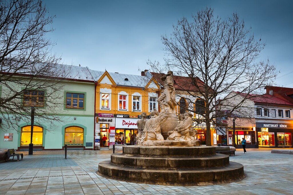
When in Martin, be sure to check out the hike to Veľká lúka (Martinské hole) or Kľačianska Magura with Chata pod Kľačianskou Magurou, both of which are popular among locals for casual weekend hikes.
Located at the western foothill of Lúčanská Fatra, around 15 km (9 mi) from Žilina, Rajecké Teplice is a popular spa town famous for its hot thermal springs. Its population is less than 3,000 people, but due to its popularity as a spa town, there are numerous guest houses to stay in.
The town of Rajecké Teplice is surrounded by lush greenery of the scenic Rajec Valley and can be a convenient base for a Lúčanská Fatra ridge trail starting at Kľak (accessible by bus in the direction of Prievidza) or trails accessible from Žilina. When visiting, you can also check out the ruins of Lietava Castle.
Explore Little Fatra with the PeakVisor 3D Map and identify its summits.


