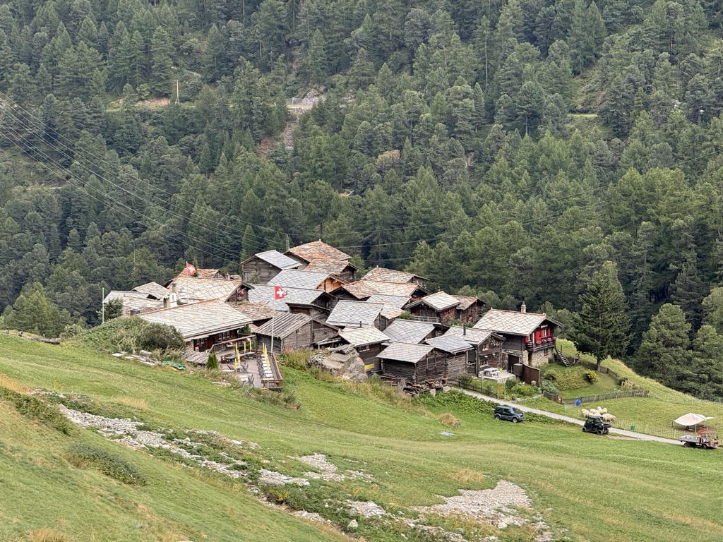
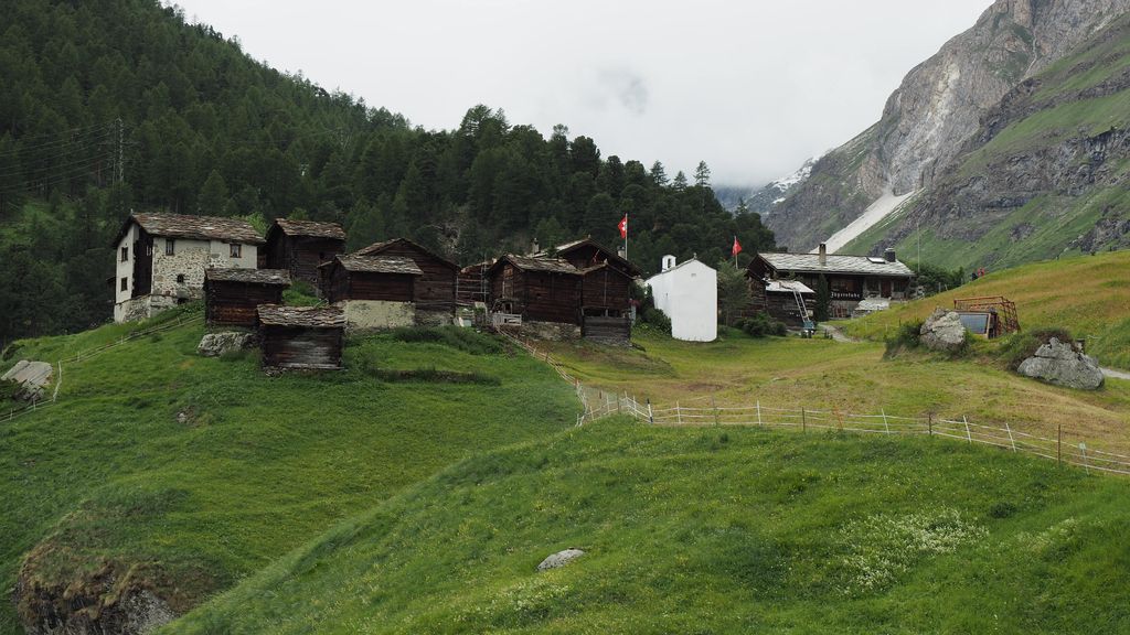
Zmutt (also spelled Z'mutt, Z'Mutt, Z-Mutt) is a small village in the municipality of Zermatt, Valais, Switzerland, situated at 1936 m in the Zmutt Valley (Zmuttal) west of Zermatt. The village chapel is dedicated to Saint Catherine of Alexandria, patroness of the Valais. The valley passes the northern slope of the Matterhorn and terminates in the Zmutt Glacier on the border to Italy's Aosta Valley. The Zmutt dam at 46°0′28″N 7°42′34″E, constructed in 1964, has a height of 74 m and a capacity of 850'000 m³. This dam is fed by waters from the Zmutt, Bis and Schali Glacier.
We use GPS information embedded into the photo when it is available.
3D mountains overlay
Adjust mountain panorama to perfectly match your photos because recorded by camera photo position might be imprecise.
Move tool
Rotate tool
Zoom
More customization
Choose which peak labels should make into the final photo and what photo title should be.
Next
Photo Location
Satellitte
Flat map
Relief map
Latitude
Longitude
Altitude
OR
Latitude
°'''
Longitude
°'''
Apply
Register Peak
Peak Name
Latitude
Longitude
Altitude
Register
Teleport
PeakVisor
This 3D model of Sagarmatha National Park in Nepal was made using the PeakVisor app topographic data. The mobile app features higher precision models worldwide, more topographic details, and works offline. Download PeakVisor maps today.
Download OBJ model
PeakVisor
The download should start shortly. If you find it useful please consider supporting the PeakVisor app.
PeakVisor for iOS and Android
Be a superhero of outdoor navigation with state-of-the-art 3D maps and mountain identification in the palm of your hand!