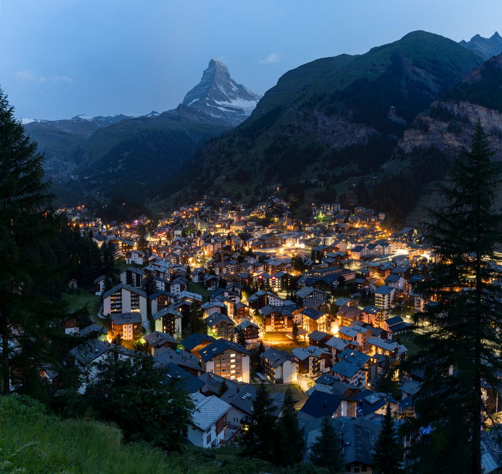
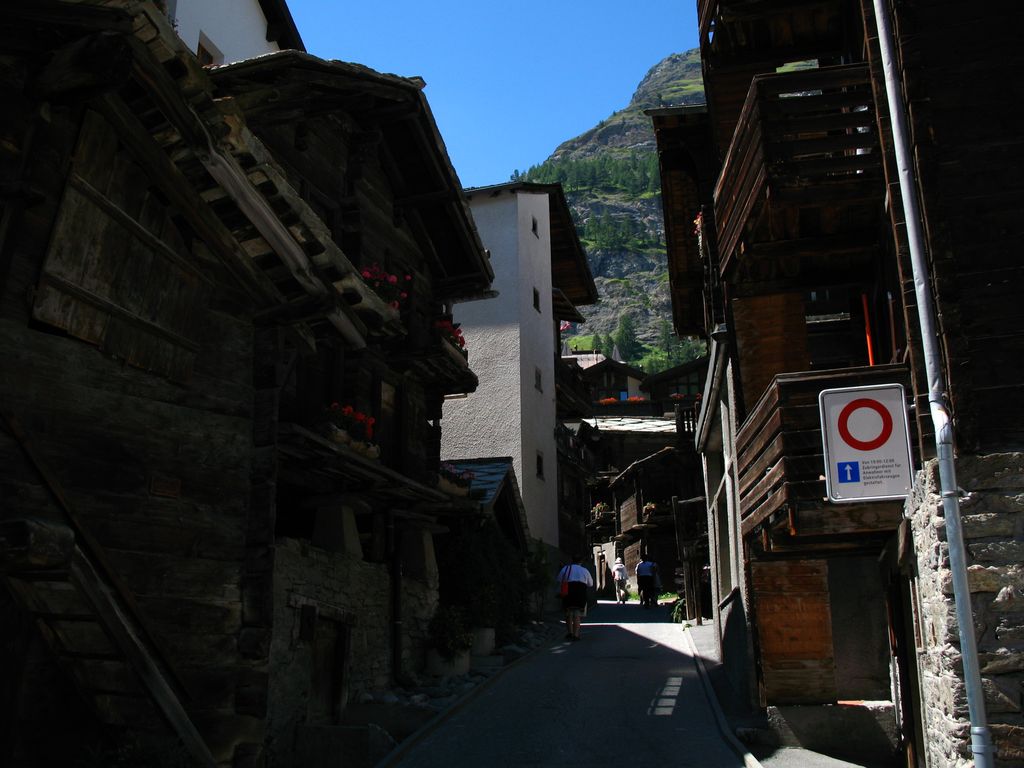
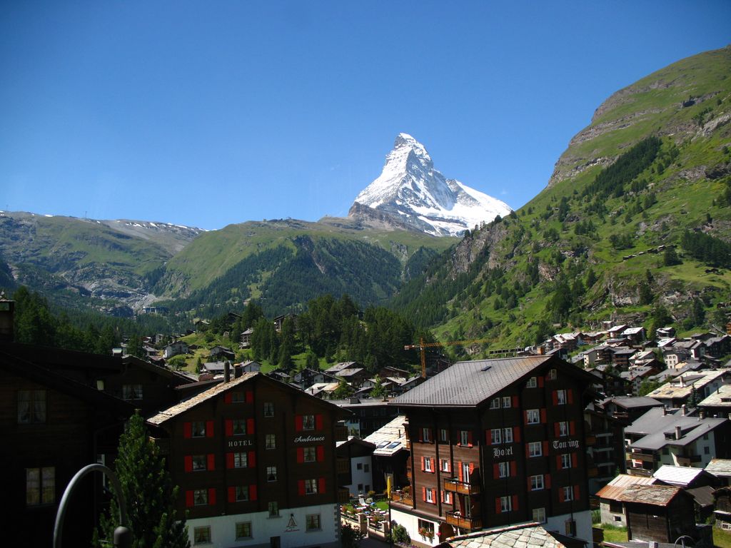
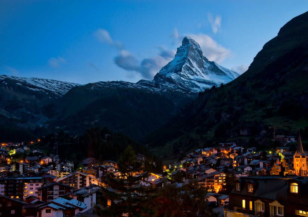
Zermatt (German: [tsɛʁˈmat] , Swiss Standard German: [tsɛrˈmat]) is a municipality in the district of Visp in the German-speaking section of the canton of Valais in Switzerland. It has a year-round population of about 5,800 and is classified as a town by the Swiss Federal Statistical Office (FSO). It lies at the upper end of Mattertal at an elevation of 1,620 m (5,310 ft), at the foot of Switzerland's highest peaks. It lies about 10 km (6.2 mi) from the over 3,292 m (10,801 ft) high Theodul Pass bordering Italy. Zermatt is the southernmost commune of the German Sprachraum. Zermatt is famed as a mountaineering and ski resort of the Swiss Alps. Until the mid-19th century, it was predominantly an agricultural community; the first and tragic ascent of the Matterhorn in 1865 was followed by a rush on the mountains surrounding the village, leading to the construction of many tourist facilities. The year-round population (as of December 2020) is 5,820, though there may be several times as many tourists in Zermatt at any one time. Much of the local economy is based on tourism, with about half of the jobs in town in hotels or restaurants and just under half of all apartments are vacation apartments. Just over one-third of the permanent population was born in the town, while another third moved to Zermatt from outside Switzerland.
We use GPS information embedded into the photo when it is available.
3D mountains overlay
Adjust mountain panorama to perfectly match your photos because recorded by camera photo position might be imprecise.
Move tool
Rotate tool
Zoom
More customization
Choose which peak labels should make into the final photo and what photo title should be.
Next
Photo Location
Satellitte
Flat map
Relief map
Latitude
Longitude
Altitude
OR
Latitude
°'''
Longitude
°'''
Apply
Register Peak
Peak Name
Latitude
Longitude
Altitude
Register
Teleport
PeakVisor
This 3D model of Sagarmatha National Park in Nepal was made using the PeakVisor app topographic data. The mobile app features higher precision models worldwide, more topographic details, and works offline. Download PeakVisor maps today.
Download OBJ model
PeakVisor
The download should start shortly. If you find it useful please consider supporting the PeakVisor app.
PeakVisor for iOS and Android
Be a superhero of outdoor navigation with state-of-the-art 3D maps and mountain identification in the palm of your hand!


.jpg)