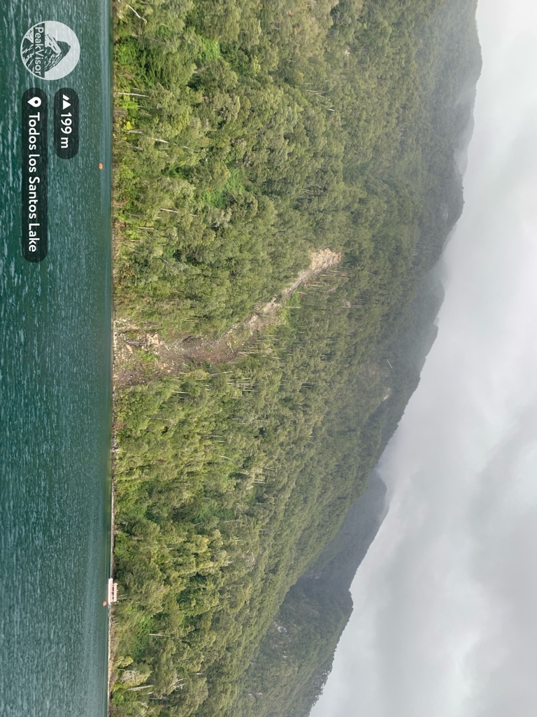
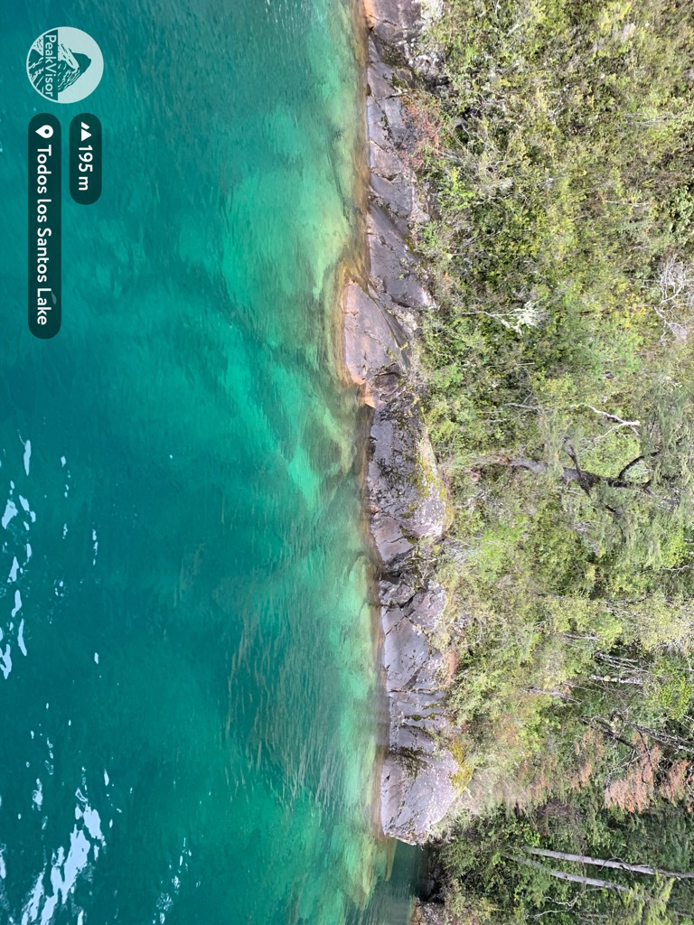
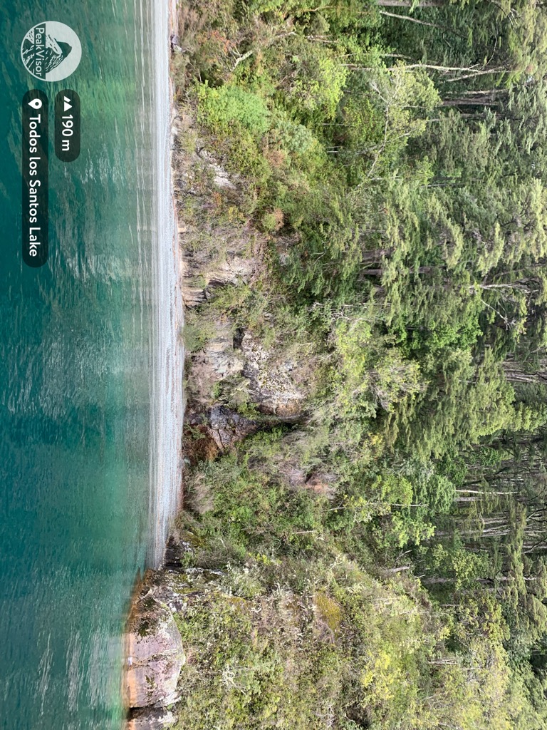
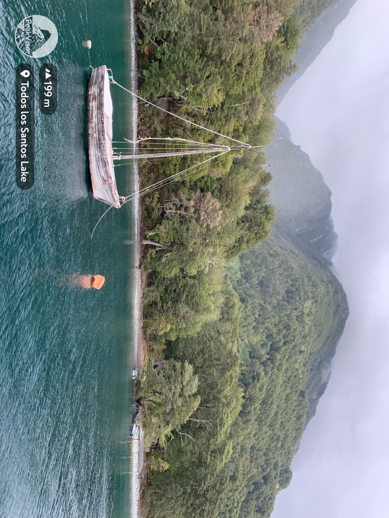
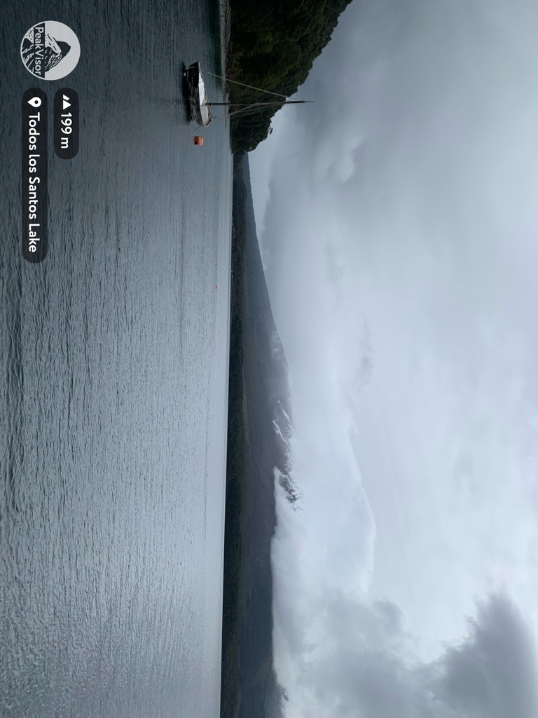
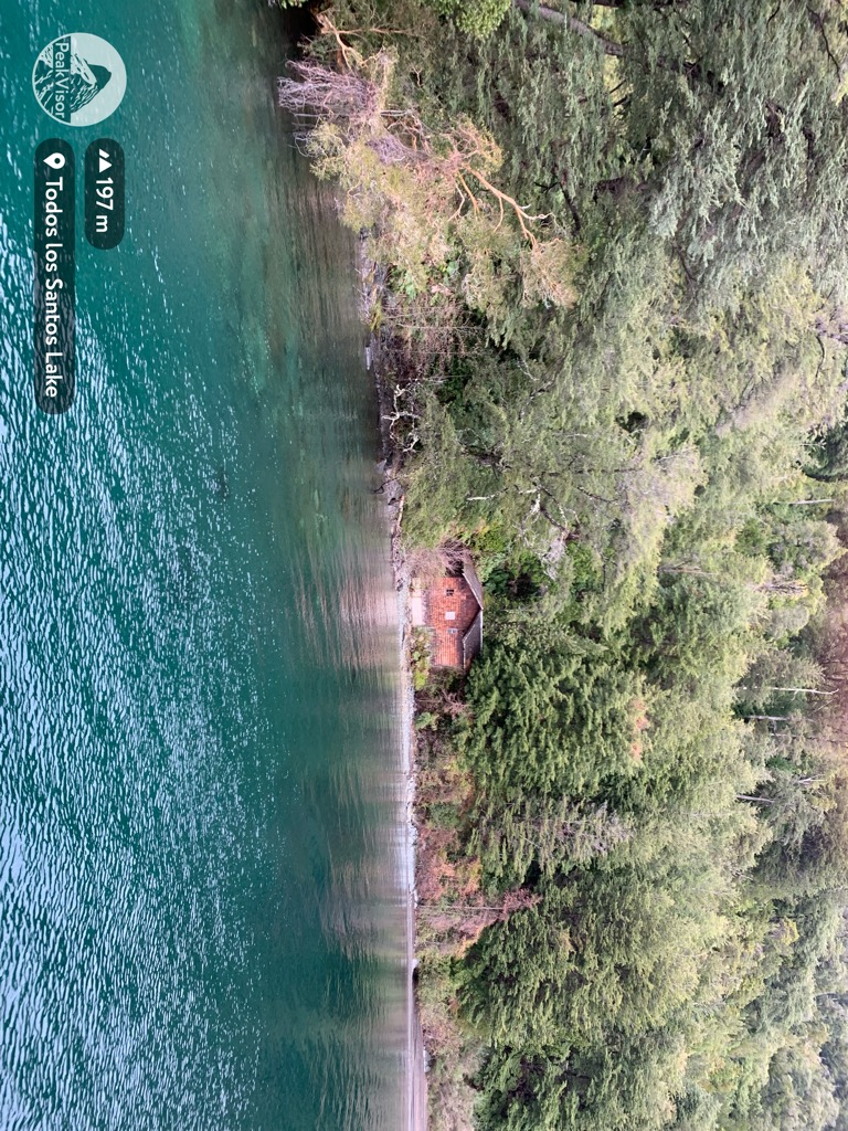
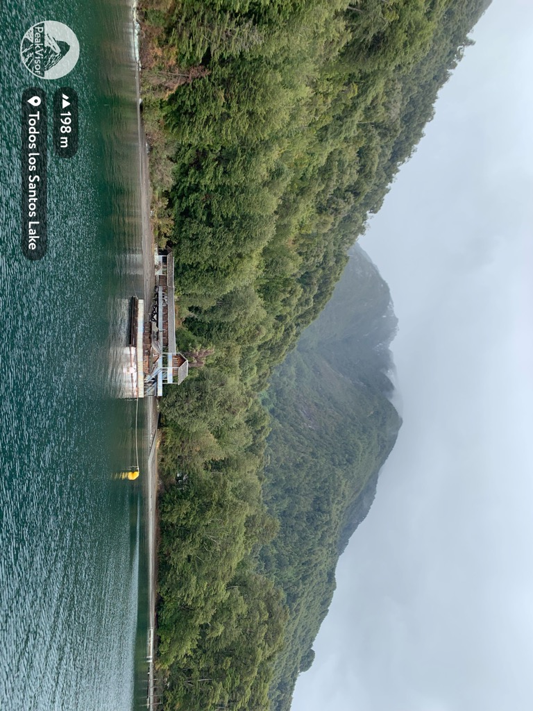
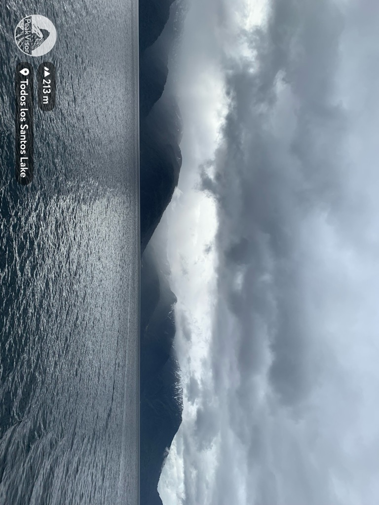
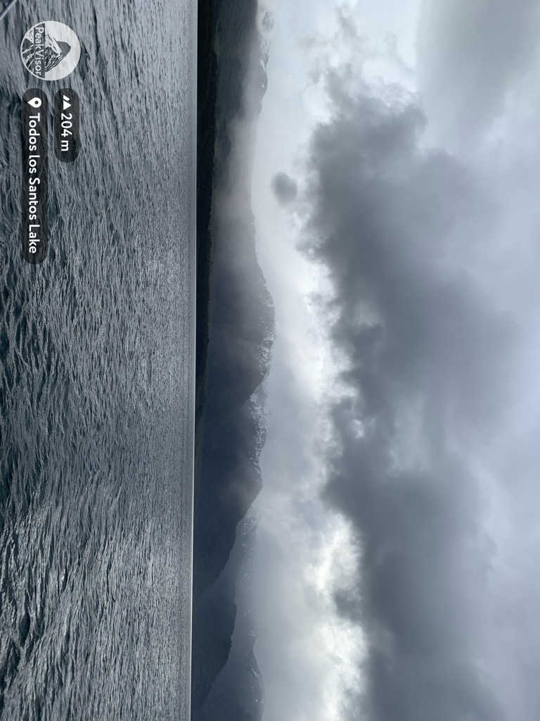
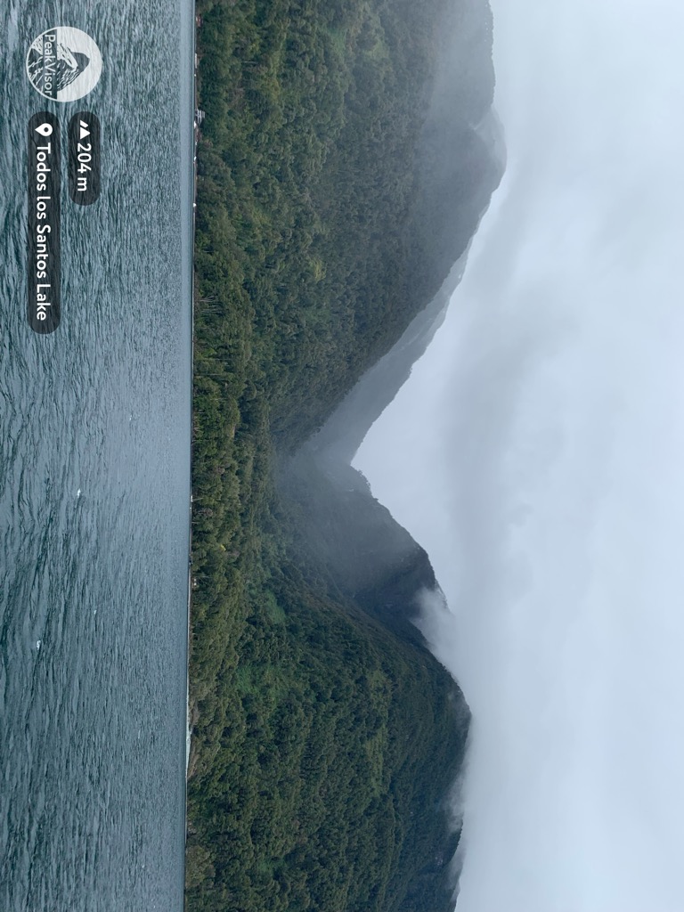
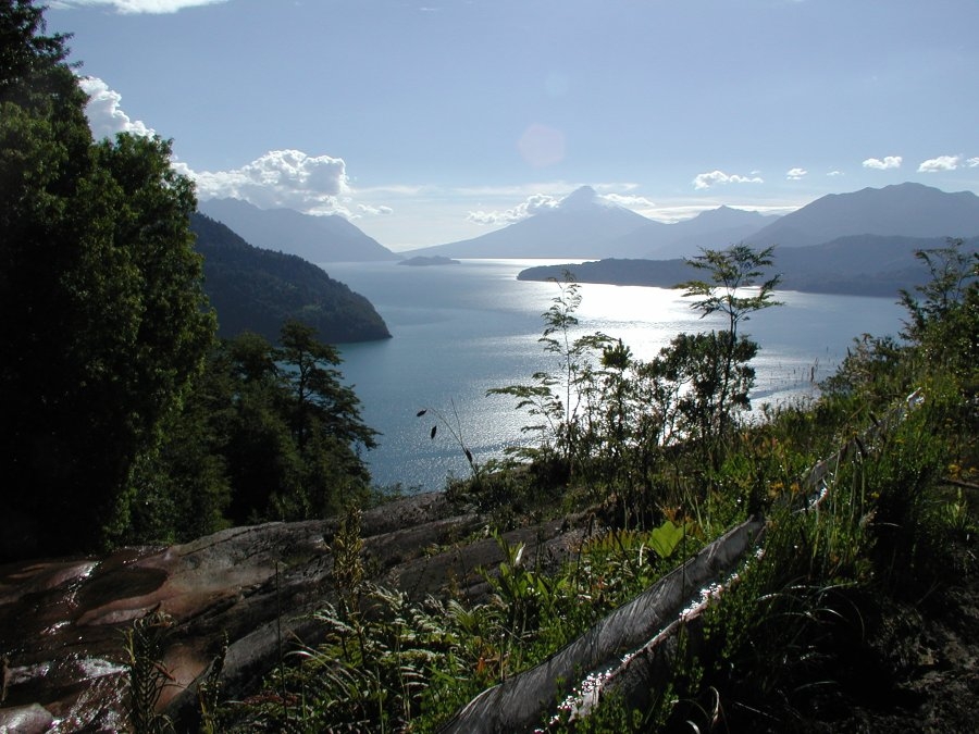
Lake Todos los Santos (Spanish for "All Saints Lake") is a lake located in the Los Lagos Region of southern Chile, 96 km northeast of the regional capital Puerto Montt and 76 km east of Puerto Varas, within the boundaries of the Vicente Pérez Rosales National Park. It has a surface area of 178.5 km² and a maximum depth of 337 m. The Lake's National Park status has ensured protection to its environment. The catchment is largely covered with old-growth Valdivian temperate rain forests. The present form of the lake is the result of glacial and volcanic processes.
We use GPS information embedded into the photo when it is available.
3D mountains overlay
Adjust mountain panorama to perfectly match your photos because recorded by camera photo position might be imprecise.
Move tool
Rotate tool
Zoom
More customization
Choose which peak labels should make into the final photo and what photo title should be.
Next
Photo Location
Satellitte
Flat map
Relief map
Latitude
Longitude
Altitude
OR
Latitude
°'''
Longitude
°'''
Apply
Register Peak
Peak Name
Latitude
Longitude
Altitude
Register
Teleport
PeakVisor
This 3D model of Sagarmatha National Park in Nepal was made using the PeakVisor app topographic data. The mobile app features higher precision models worldwide, more topographic details, and works offline. Download PeakVisor maps today.
Download OBJ model
PeakVisor
The download should start shortly. If you find it useful please consider supporting the PeakVisor app.
PeakVisor for iOS and Android
Be a superhero of outdoor navigation with state-of-the-art 3D maps and mountain identification in the palm of your hand!