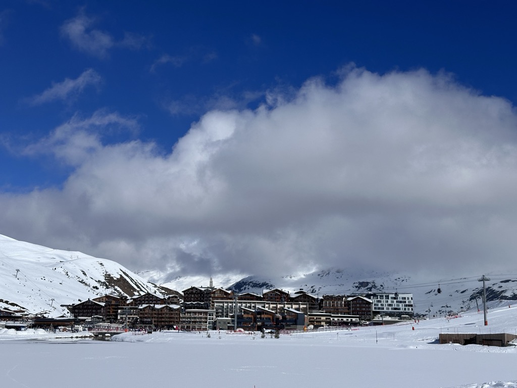
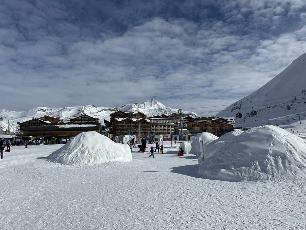
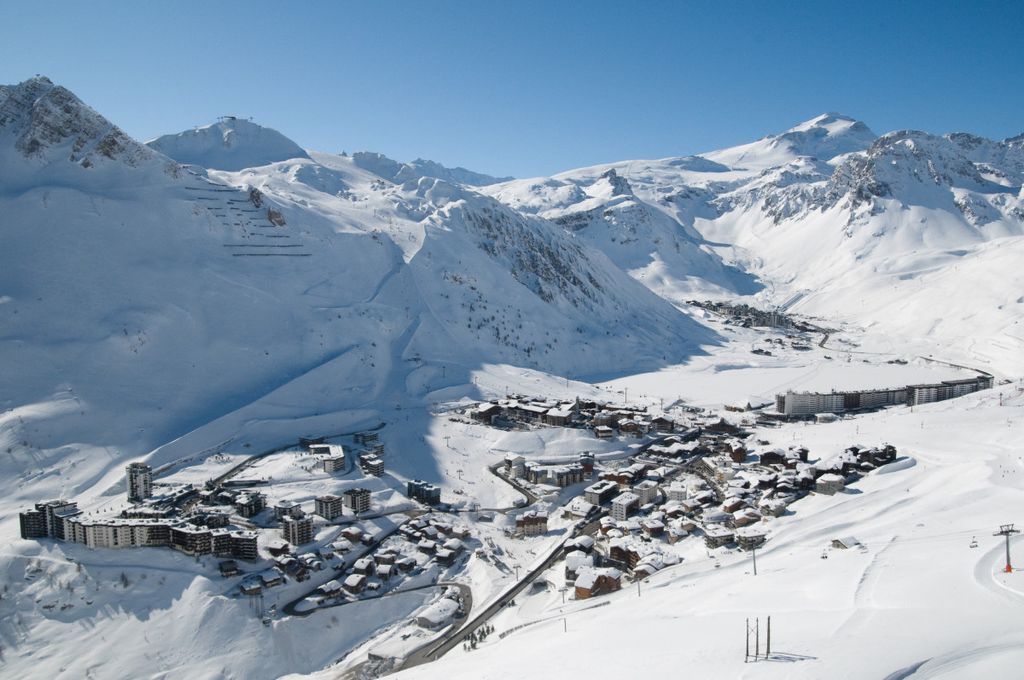
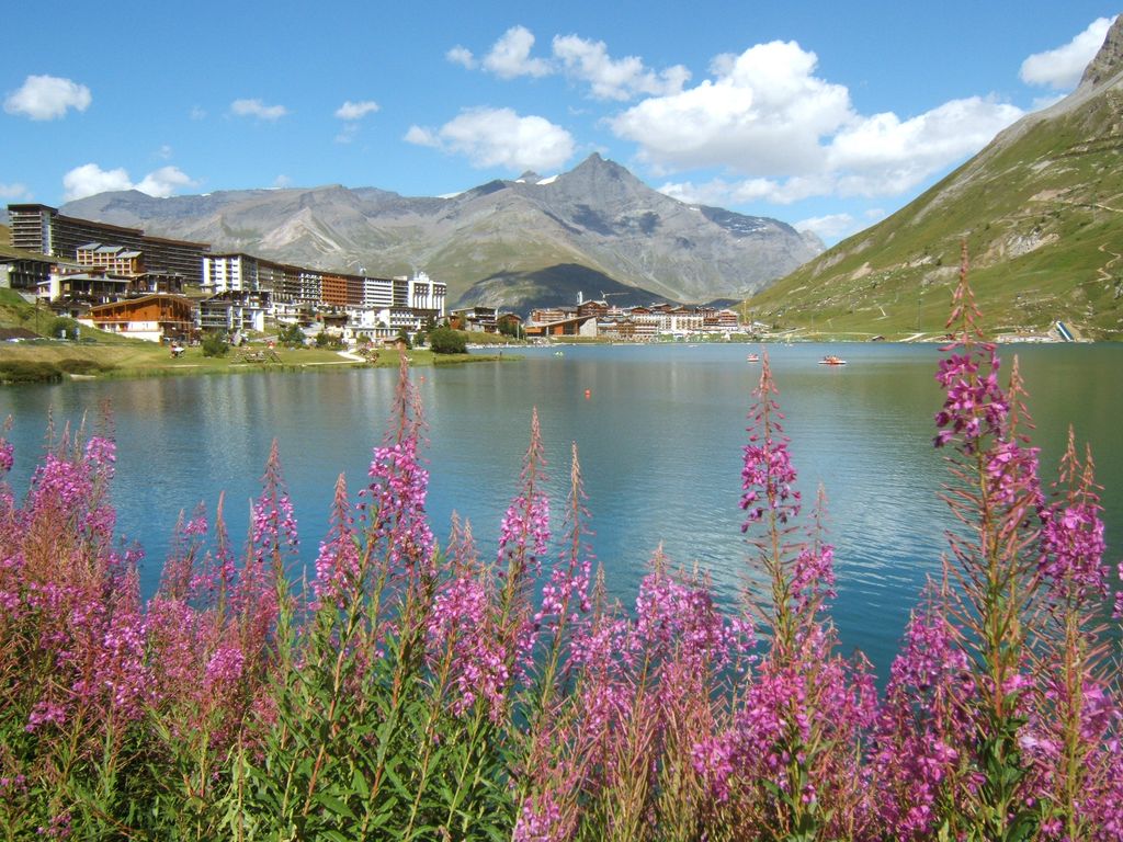
Tignes (French pronunciation: [tiɲ]) is a commune in the Tarentaise Valley, in the Savoie department in the Rhône-Alpes region in south-eastern France, known for the highest skiable area and the longest ski season in Europe. It is located in the Savoie region with good transport links in and out of Lyon, Geneva and Chambéry. It is best known as a snow sure ski resort. Together with neighbouring Val d'Isère, it forms the Tignes – Val d'Isère ski area. The proximity of two resorts offers one of the most seamless links between ski areas in Europe, in effect creating a single skiable area of over 300 km piste. Whilst not the largest ski area in the Alps, the level of integration between the two resorts is so good that it is often described as feeling like one of the largest single ski areas as a result. Tignes was the freestyle skiing venue for the 1992 Winter Olympics, co-host city for the 1992 Winter Paralympics and host of the Winter X Games. This, coupled with the year round skiing, season length and large number of ski parks/slalom runs has cemented Tignes as the go to training ground for snow sport athletes. The terrain of valley lends itself to more challenging skiing, with advanced skiers often opting for the resort as their preferred ski area. The town has however strived to improve its appeal to beginner and intermediate skiers with the introduction of easier runs lower down in the valley towards Tignes-Les-Brévières and upgrading existing chairlifts and installing new ones with smaller elevation gains.
We use GPS information embedded into the photo when it is available.
3D mountains overlay
Adjust mountain panorama to perfectly match your photos because recorded by camera photo position might be imprecise.
Move tool
Rotate tool
Zoom
More customization
Choose which peak labels should make into the final photo and what photo title should be.
Next
Photo Location
Satellitte
Flat map
Relief map
Latitude
Longitude
Altitude
OR
Latitude
°'''
Longitude
°'''
Apply
Register Peak
Peak Name
Latitude
Longitude
Altitude
Register
Teleport
PeakVisor
This 3D model of Sagarmatha National Park in Nepal was made using the PeakVisor app topographic data. The mobile app features higher precision models worldwide, more topographic details, and works offline. Download PeakVisor maps today.
Download OBJ model
PeakVisor
The download should start shortly. If you find it useful please consider supporting the PeakVisor app.
PeakVisor for iOS and Android
Be a superhero of outdoor navigation with state-of-the-art 3D maps and mountain identification in the palm of your hand!


.jpg)


