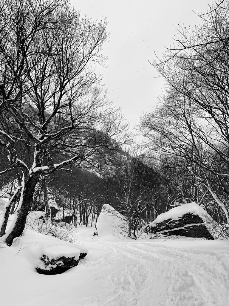
Smugglers Notch (alternatively Smugglers' or Smuggler's) is a mountain pass in Lamoille County, Vermont. The notch separates Mount Mansfield, the highest peak of the Green Mountains, from Spruce Peak and the Sterling Range. Most of the notch is in Mount Mansfield State Forest. North of the height of land, Smugglers Notch is drained by the Brewster River, which drains into the Lamoille River, and into Lake Champlain. To the south, the notch is drained by the West Branch Waterbury River, then into the Little River, the Winooski River, and into Lake Champlain. Smugglers' Notch derives its name from activities precipitated by a request of President Thomas Jefferson to prevent American involvement in the Napoleonic Wars. The Embargo Act of 1807 forbade American trade with Great Britain and Canada. But proximity to Montreal made it a convenient trading partner, and the Act caused great hardship for Vermonters, many of whom continued the illegal trade with Canada, carrying goods and herding livestock through the Notch. Fugitive slaves also used the Notch as an escape route to Canada. The route was improved to accommodate automobile traffic in 1922 thus providing a route for liquor to be brought in from Canada during the Prohibition years. Smugglers' Notch State Park was created near the Notch by the depression-era Civilian Conservation Corps. In 2003 the park was relocated, allowing for a larger campground and new, modern facilities incorporating alternative energy. In order to preserve the work of these pioneering conservationists, all original structures created by the CCC were painstakingly relocated to the new site. The Long Trail, a 272-mile (438-km) hiking trail running the length of Vermont, traverses Smugglers' Notch. The trail down from the summit of Mt. Mansfield to the east reaches the road south of the height of the pass, and resumes across Route 108 at the Barnes Camp Visitor Center, climbing east to the summit of Madonna Peak. Smugglers' Notch Resort is located on the northeast side of the pass on the northern side of the Sterling Range with developments on Spruce Peak (referred to as Sterling Mountain by the resort), Madonna Peak (referred to as Madonna Mountain by the resort), and the lower portion of Morse Mountain. The resort takes its name from the pass. Stowe Mountain Resort straddles the southern end of the pass, with developments on both Mt. Mansfield and Spruce Peak.
We use GPS information embedded into the photo when it is available.
3D mountains overlay
Adjust mountain panorama to perfectly match your photos because recorded by camera photo position might be imprecise.
Move tool
Rotate tool
Zoom
More customization
Choose which peak labels should make into the final photo and what photo title should be.
Next
Photo Location
Satellitte
Flat map
Relief map
Latitude
Longitude
Altitude
OR
Latitude
°'''
Longitude
°'''
Apply
Register Peak
Peak Name
Latitude
Longitude
Altitude
Register
Teleport
PeakVisor
This 3D model of Sagarmatha National Park in Nepal was made using the PeakVisor app topographic data. The mobile app features higher precision models worldwide, more topographic details, and works offline. Download PeakVisor maps today.
Download OBJ model
PeakVisor
The download should start shortly. If you find it useful please consider supporting the PeakVisor app.
PeakVisor for iOS and Android
Be a superhero of outdoor navigation with state-of-the-art 3D maps and mountain identification in the palm of your hand!


.jpg)


