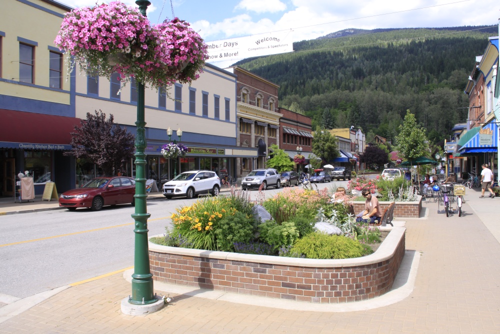
Revelstoke () is a city in southeastern British Columbia, Canada, with a census population of 8,275 in 2021. Revelstoke is located 641 kilometres (398 mi) east of Vancouver, and 415 kilometres (258 mi) west of Calgary, Alberta. The city is situated on the banks of the Columbia River just south of the Revelstoke Dam and near its confluence with the Illecillewaet River. East of Revelstoke are the Selkirk Mountains and Glacier National Park, penetrated by Rogers Pass used by the Trans-Canada Highway and the Canadian Pacific Railway. South of the community down the Columbia River are the Arrow Lakes, Mount Begbie, and the Kootenays. West of the city is Eagle Pass through the Monashee Mountains and the route to Shuswap Lake.
We use GPS information embedded into the photo when it is available.
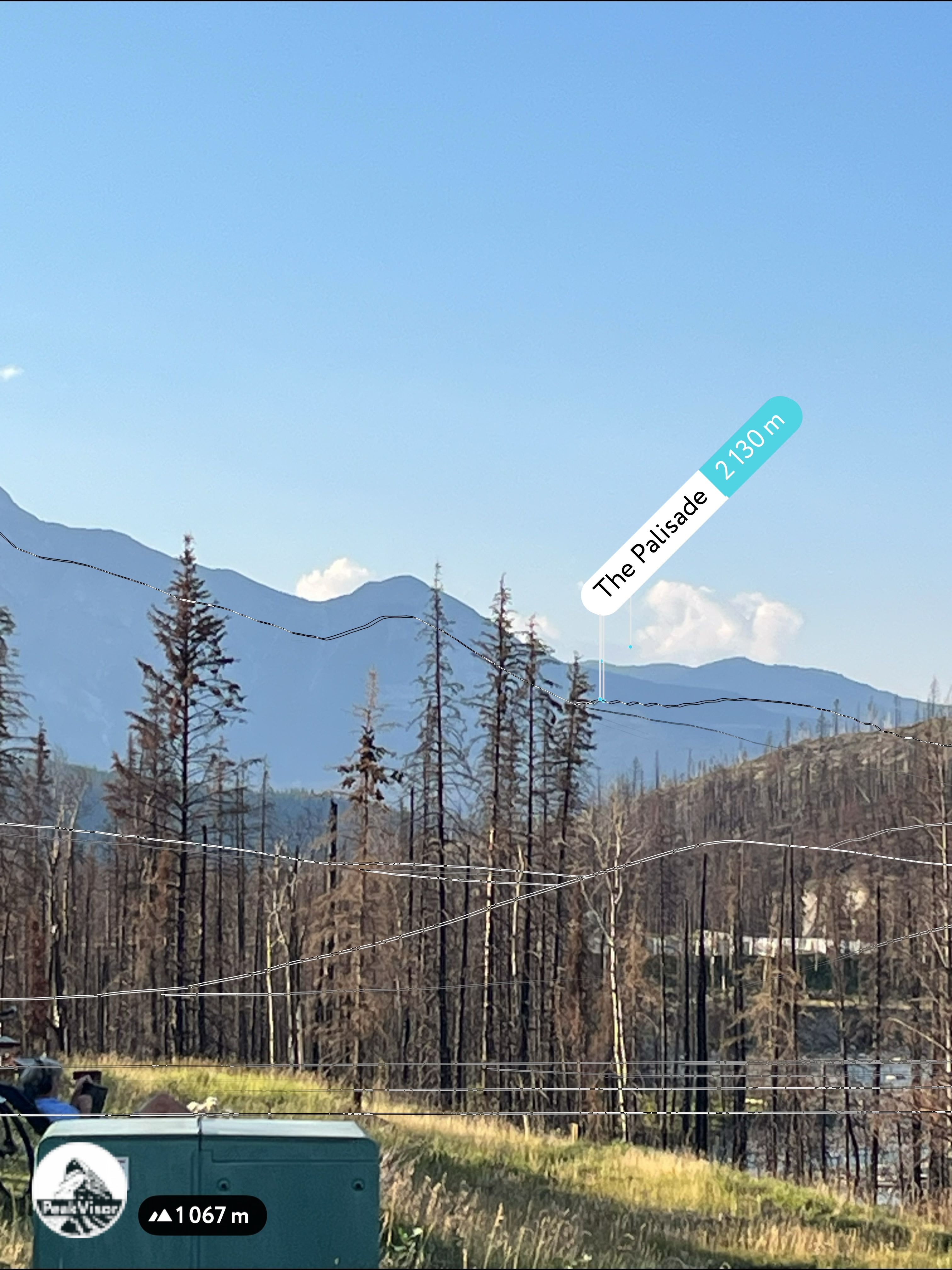
3D mountains overlay
Adjust mountain panorama to perfectly match your photos because recorded by camera photo position might be imprecise.
Move tool
Rotate tool
Zoom
More customization
Choose which peak labels should make into the final photo and what photo title should be.
Next
Photo Location
Satellitte
Flat map
Relief map
Latitude
Longitude
Altitude
OR
Latitude
°'''
Longitude
°'''
Apply
Register Peak
Peak Name
Latitude
Longitude
Altitude
Register
Teleport
PeakVisor
This 3D model of Sagarmatha National Park in Nepal was made using the PeakVisor app topographic data. The mobile app features higher precision models worldwide, more topographic details, and works offline. Download PeakVisor maps today.
Download OBJ model
PeakVisor
The download should start shortly. If you find it useful please consider supporting the PeakVisor app.
PeakVisor for iOS and Android
Be a superhero of outdoor navigation with state-of-the-art 3D maps and mountain identification in the palm of your hand!