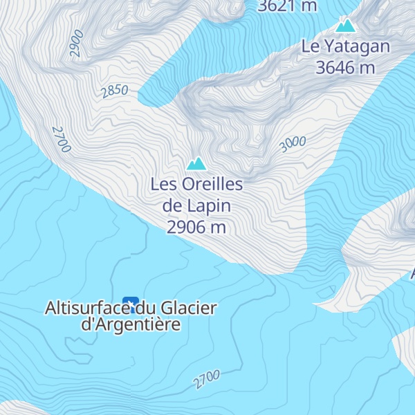
The Argentière Hut (French: Refuge d'Argentière) is a refuge in the Mont Blanc massif in the Alps. Built in 1974 by the Club Alpin Français, it is located above the north bank of the Argentière Glacier in France at an altitude of 2,691 meters above sea level. The hut is wardened and has places for 120 people. It is most usually reached by means of the Grands Montets cable-car, and gives access to classic climbing routes on peaks such as the Aiguille d'Argentière, Tour Noir, Les Courtes and the Aiguille Verte, as well as the steep ice routes of the north walls of the Triolet-Courtes-Droites-Verte chain of mountains.: 25 : 317
We use GPS information embedded into the photo when it is available.
3D mountains overlay
Adjust mountain panorama to perfectly match your photos because recorded by camera photo position might be imprecise.
Move tool
Rotate tool
Zoom
More customization
Choose which peak labels should make into the final photo and what photo title should be.
Next
Photo Location
Satellitte
Flat map
Relief map
Latitude
Longitude
Altitude
OR
Latitude
°'''
Longitude
°'''
Apply
Register Peak
Peak Name
Latitude
Longitude
Altitude
Register
Teleport
PeakVisor
This 3D model of Sagarmatha National Park in Nepal was made using the PeakVisor app topographic data. The mobile app features higher precision models worldwide, more topographic details, and works offline. Download PeakVisor maps today.
Download OBJ model
PeakVisor
The download should start shortly. If you find it useful please consider supporting the PeakVisor app.
PeakVisor for iOS and Android
Be a superhero of outdoor navigation with state-of-the-art 3D maps and mountain identification in the palm of your hand!