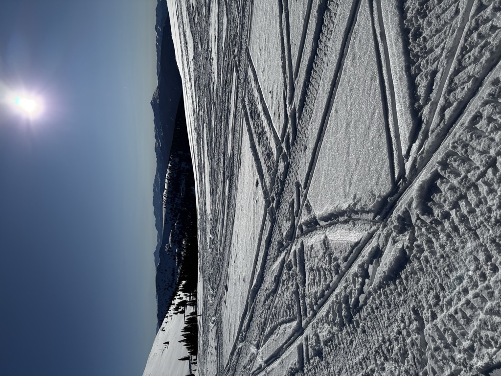
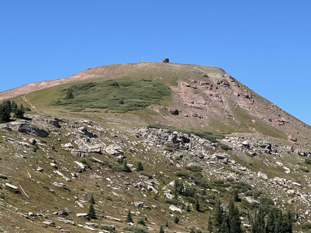
Note: There are at least three separate mountain passes in Colorado named Ptarmigan Pass. This article concerns the one between Eagle County and Summit County.[1] Ptarmigan Pass (elevation 11,765 ft) is a high mountain pass in the Rocky Mountains of central Colorado in the United States. It is located on the crest of the northern end of the Sawatch Range, along the border of Eagle and Summit counties, south of Vail Pass. The pass is traversed by a jeep trail that is passable by four-wheel drive vehicles and on foot. 2WD vehicles will only make it to the summit from the west; the east side is rocky and boggy at times. The trail connects Interstate 70 east of Vail Pass with the Eagle River Valley near Red Cliff.
We use GPS information embedded into the photo when it is available.
3D mountains overlay
Adjust mountain panorama to perfectly match your photos because recorded by camera photo position might be imprecise.
Move tool
Rotate tool
Zoom
More customization
Choose which peak labels should make into the final photo and what photo title should be.
Next
Photo Location
Satellitte
Flat map
Relief map
Latitude
Longitude
Altitude
OR
Latitude
°'''
Longitude
°'''
Apply
Register Peak
Peak Name
Latitude
Longitude
Altitude
Register
Teleport
PeakVisor
This 3D model of Sagarmatha National Park in Nepal was made using the PeakVisor app topographic data. The mobile app features higher precision models worldwide, more topographic details, and works offline. Download PeakVisor maps today.
Download OBJ model
PeakVisor
The download should start shortly. If you find it useful please consider supporting the PeakVisor app.
PeakVisor for iOS and Android
Be a superhero of outdoor navigation with state-of-the-art 3D maps and mountain identification in the palm of your hand!