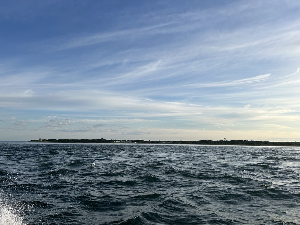
Plum Island is an island in the town of Southold in Suffolk County, New York. The island is situated in Gardiners Bay, east of Orient Point, off the eastern end of the North Fork coast of Long Island. It is about 3 miles (4.8 km) long and 1 mile (1.6 km) wide at its widest point. Plum Island is the site of the Plum Island Animal Disease Center (PIADC), which was established by the United States Department of Agriculture (USDA) in 1954. The Island is also the site of the former U.S. military installation Fort Terry (c. 1897), and the historic Plum Island Light (c. 1869), and its automated replacement. Plum Island is owned in its entirety by the United States government, which was considering sale of the island, but suspended the plan in February 2012. Access to the island is controlled by the United States Department of Homeland Security (DHS). On August 29, 2013, the United States General Services Administration (GSA) and United States Department of Homeland Security (DHS) announced a final "Record of Decision (ROD): Public Sale of Plum Island, New York". After years of pressure from organizations including the Preserve Plum Island Coalition (PPIC), the Connecticut Fund for the Environment, along with its permanent regional program Save the Sound and Soundkeeper, Inc., Congress voted in December 2020 to block the sale and preserve Plum Island. In 2020, President Donald Trump signed the legislation.
We use GPS information embedded into the photo when it is available.
3D mountains overlay
Adjust mountain panorama to perfectly match your photos because recorded by camera photo position might be imprecise.
Move tool
Rotate tool
Zoom
More customization
Choose which peak labels should make into the final photo and what photo title should be.
Next
Photo Location
Satellitte
Flat map
Relief map
Latitude
Longitude
Altitude
OR
Latitude
°'''
Longitude
°'''
Apply
Register Peak
Peak Name
Latitude
Longitude
Altitude
Register
Teleport
PeakVisor
This 3D model of Sagarmatha National Park in Nepal was made using the PeakVisor app topographic data. The mobile app features higher precision models worldwide, more topographic details, and works offline. Download PeakVisor maps today.
Download OBJ model
PeakVisor
The download should start shortly. If you find it useful please consider supporting the PeakVisor app.
PeakVisor for iOS and Android
Be a superhero of outdoor navigation with state-of-the-art 3D maps and mountain identification in the palm of your hand!