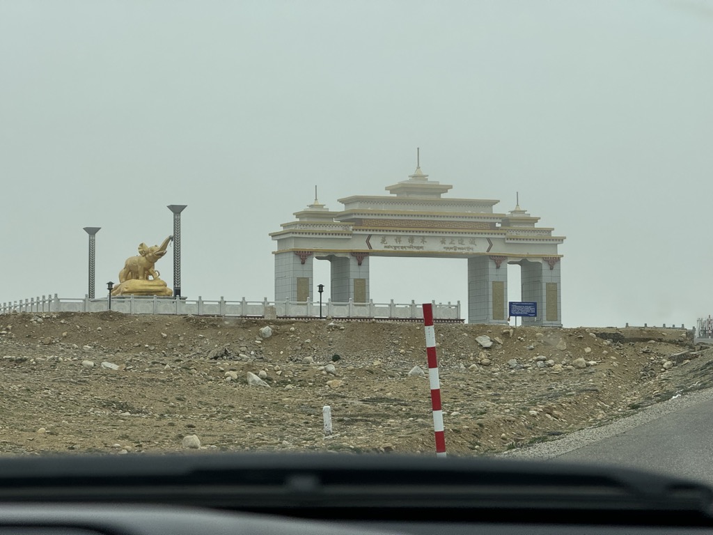
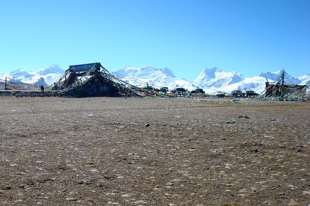
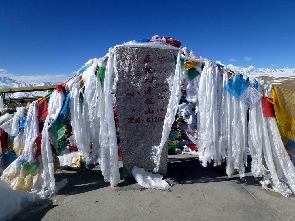
Nyalam Tong La or Yakrushong La is a mountain pass in China on the Matsung Tsangpo-Phung Chhu watershed divide where the Friendship Highway connecting Kathmandu, Nepal and Lhasa, Tibet crosses at 5,150 metres (16,900 ft) elevation. Originally called Yakrushong La and Kuti Pass by Nepalese traders, the pass is currently generally known as Nyalam Tong La ("pass from which Nyalam is visible"), or simply Tong La, although the original Tong La pass lies further east on the traditional Tingri-Nyalam trade route. About 11 km north, the Friendship Highway crosses another pass 5,050 metres (16,570 ft) Lalung La which is not a significant watershed divide. From the Matsang Tsangpo-Phung Chhu divide, the Matsang flows directly south into Nepal where its name changes to Sun Kosi. North of the divide Men Chhu flows northeast into the Phung Chhu (or Bum Chhu in Tibetan; Peng Qu in Chinese) which flows east to 87d40'E where it combines with other streams and turns south to cut a deep valley between the Mahalangur (Mount Everest) and Kanchenjunga sections of the Himalaya. As it crosses into Nepal its name changes to Arun. Sun Kosi and Arun are both counted among the Kosi River's seven notable Himalayan tributaries. Nyalam Tong La also separates the Jugal and Labuche sections of the Himalaya. The Jugal section to the west includes 8,013 meter Shishapangma while the less famous Labuche (or Lapche) section to the east includes 7,367 meter Labuche Kang.[1]
We use GPS information embedded into the photo when it is available.
3D mountains overlay
Adjust mountain panorama to perfectly match your photos because recorded by camera photo position might be imprecise.
Move tool
Rotate tool
Zoom
More customization
Choose which peak labels should make into the final photo and what photo title should be.
Next
Photo Location
Satellitte
Flat map
Relief map
Latitude
Longitude
Altitude
OR
Latitude
°'''
Longitude
°'''
Apply
Register Peak
Peak Name
Latitude
Longitude
Altitude
Register
Teleport
PeakVisor
This 3D model of Sagarmatha National Park in Nepal was made using the PeakVisor app topographic data. The mobile app features higher precision models worldwide, more topographic details, and works offline. Download PeakVisor maps today.
Download OBJ model
PeakVisor
The download should start shortly. If you find it useful please consider supporting the PeakVisor app.
PeakVisor for iOS and Android
Be a superhero of outdoor navigation with state-of-the-art 3D maps and mountain identification in the palm of your hand!