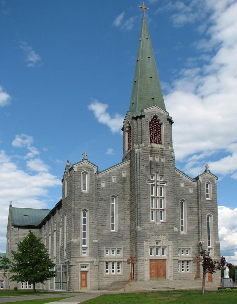
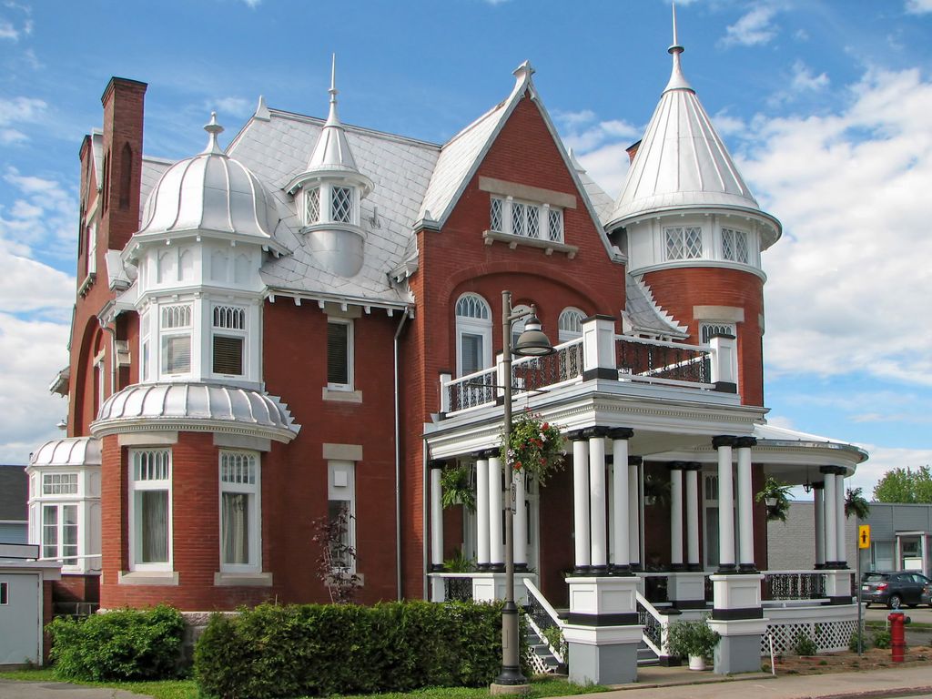
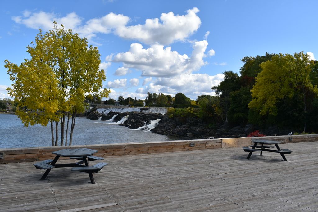
Montmagny (French pronunciation: [mɔ̃maɲi]) is a city in the Montmagny Regional County Municipality within the Chaudière-Appalaches region of Quebec, Canada. It is the county seat and had a population, as of the Canada 2021 Census, of 10,999. The city is on the south shore of the Saint Lawrence River, east of Quebec City, and was founded more than 350 years ago. It is Canada's Snow Goose Capital, and festivals include the International Accordion Festival in September and the Festival of the Snow Geese in October. The city was named after Charles de Montmagny, the first to have the title of governor of New France; Samuel de Champlain was commander in chief. Montmagny was the county seat of the former Montmagny County.
We use GPS information embedded into the photo when it is available.
3D mountains overlay
Adjust mountain panorama to perfectly match your photos because recorded by camera photo position might be imprecise.
Move tool
Rotate tool
Zoom
More customization
Choose which peak labels should make into the final photo and what photo title should be.
Next
Photo Location
Satellitte
Flat map
Relief map
Latitude
Longitude
Altitude
OR
Latitude
°'''
Longitude
°'''
Apply
Register Peak
Peak Name
Latitude
Longitude
Altitude
Register
Teleport
PeakVisor
This 3D model of Sagarmatha National Park in Nepal was made using the PeakVisor app topographic data. The mobile app features higher precision models worldwide, more topographic details, and works offline. Download PeakVisor maps today.
Download OBJ model
PeakVisor
The download should start shortly. If you find it useful please consider supporting the PeakVisor app.
PeakVisor for iOS and Android
Be a superhero of outdoor navigation with state-of-the-art 3D maps and mountain identification in the palm of your hand!