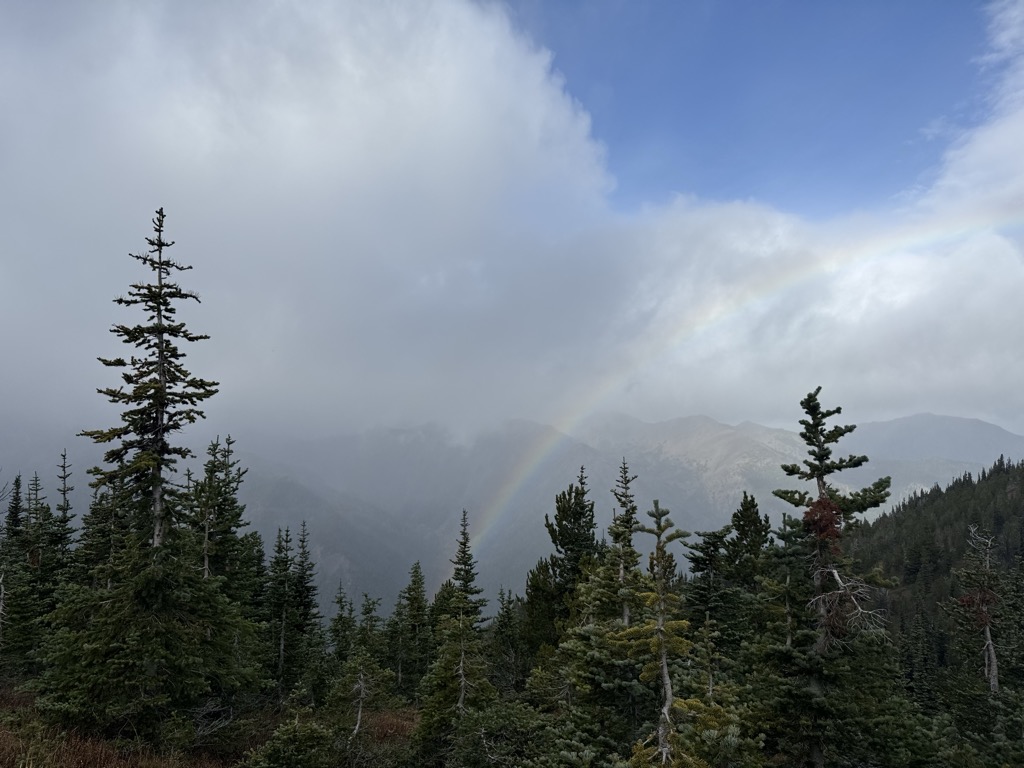
Marmot Pass, at 6,000 feet (1,800 m)-high, provides a trail corridor through the Buckhorn Wilderness in the Olympic Mountains of Washington state. The pass is situated near Buckhorn Mountain (6,870 feet), Iron Mountain (6,804 feet), and Boulder Ridge (6,852 feet). From Marmot Pass, one can see the tallest peaks in the mountain range, and look down at the Dungeness Valley, and Hood Canal. And it's been said Seattle fireworks are visible from the pass on the 4th of July. The trail route to the pass is a 5.8-mile (9.3 km) trip for hikers, beginning at the rolling Big Quilcene River. En route to the pass, one travels through old growth forest to broad meadows, gaining about 3,500 feet (1,100 m) in the process but being rewarded by spacious vistas. Venturing above the pass onto a ridge leading to Buckhorn Mountain, one can get views beyond the Olympic Mountains, including Mount Baker, Glacier Peak, Mount St. Helens, and Mount Adams.
We use GPS information embedded into the photo when it is available.
3D mountains overlay
Adjust mountain panorama to perfectly match your photos because recorded by camera photo position might be imprecise.
Move tool
Rotate tool
Zoom
More customization
Choose which peak labels should make into the final photo and what photo title should be.
Next
Photo Location
Satellitte
Flat map
Relief map
Latitude
Longitude
Altitude
OR
Latitude
°'''
Longitude
°'''
Apply
Register Peak
Peak Name
Latitude
Longitude
Altitude
Register
Teleport
PeakVisor
This 3D model of Sagarmatha National Park in Nepal was made using the PeakVisor app topographic data. The mobile app features higher precision models worldwide, more topographic details, and works offline. Download PeakVisor maps today.
Download OBJ model
PeakVisor
The download should start shortly. If you find it useful please consider supporting the PeakVisor app.
PeakVisor for iOS and Android
Be a superhero of outdoor navigation with state-of-the-art 3D maps and mountain identification in the palm of your hand!