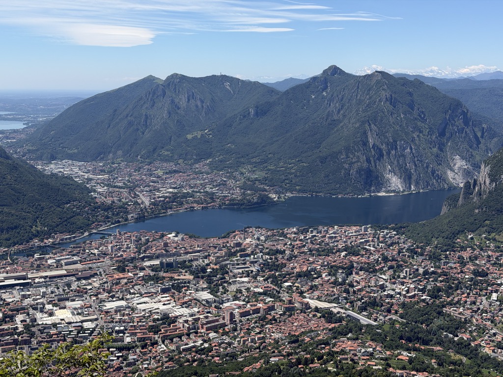
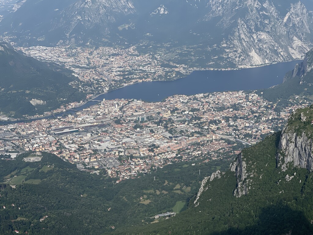
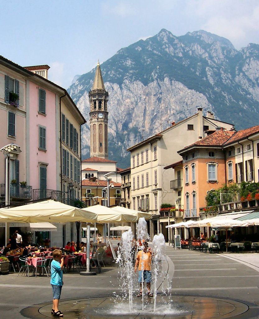
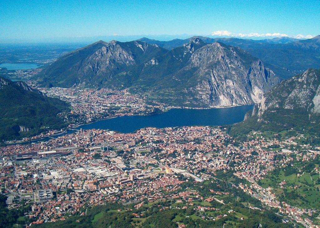
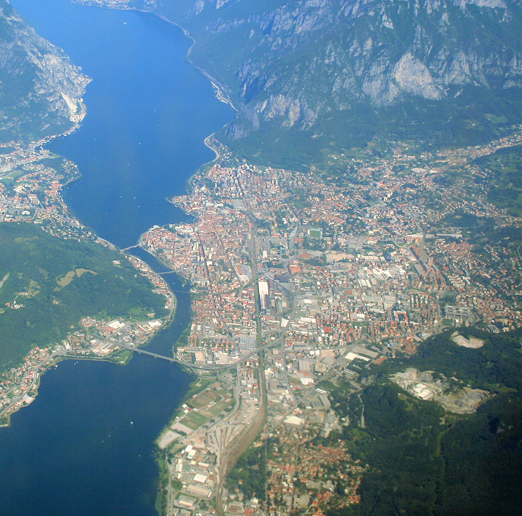
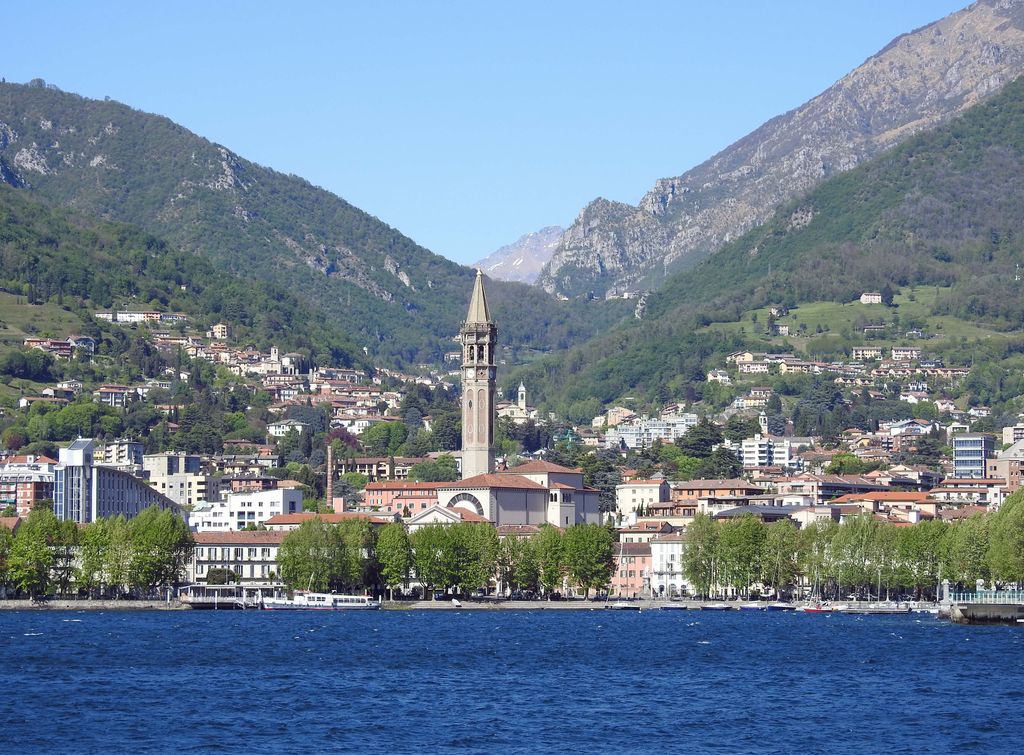
Lecco (US: , Italian: [ˈlekko], locally [ˈlɛkko] ; Lecchese: Lècch [ˈlɛk]) is a city of approximately 47,000 inhabitants in Lombardy, Northern Italy, 50 kilometres (31 mi) north of Milan. It lies at the end of the south-eastern branch of Lake Como (the branch is named Branch of Lecco / Ramo di Lecco). The Bergamo Alps rise to the north and east, cut through by the Valsassina of which Lecco marks the southern end. The lake, narrows to form the River Adda, so bridges were built to improve road communications with Como and Milan. There are four bridges crossing the river Adda in Lecco: the Azzone Visconti Bridge (1336–1338), the Kennedy Bridge (1956), the Alessandro Manzoni Bridge (1985), and a railroad bridge. Lecco was also Alpine Town of the Year in 2013. Lecco obtained the title of city on June 22, 1848, and was elevated to province by decree of the President of the Republic of March 6, 1992. Known for being the place where the writer Alessandro Manzoni set The Betrothed, the city is located in one of the vortices of the Larian Triangle. It overlooks the eastern branch of Lake Como and is included in the Orobic Prealps, between the Grigne mountain chain and the Resegone. As strategic crossroads for Valtellina, Lecco assumed increasing importance during the Middle Ages when it was annexed to the Duchy of Milan following the Peace of Constance. During the second half of the 19th century, under the Austrian dominion, the city went through a particularly flourishing period during which palaces and arcades in neoclassical style were constructed. After the unification of Italy, Lecco established itself as one of the most important industrial centers of the nation thanks to the development of the steel industries, already active in the 12th century. For this reason, Lecco is also called "the Iron city". Lecco has a population of 46,831 inhabitants, as of 2021.
We use GPS information embedded into the photo when it is available.
3D mountains overlay
Adjust mountain panorama to perfectly match your photos because recorded by camera photo position might be imprecise.
Move tool
Rotate tool
Zoom
More customization
Choose which peak labels should make into the final photo and what photo title should be.
Next
Photo Location
Satellitte
Flat map
Relief map
Latitude
Longitude
Altitude
OR
Latitude
°'''
Longitude
°'''
Apply
Register Peak
Peak Name
Latitude
Longitude
Altitude
Register
Teleport
PeakVisor
This 3D model of Sagarmatha National Park in Nepal was made using the PeakVisor app topographic data. The mobile app features higher precision models worldwide, more topographic details, and works offline. Download PeakVisor maps today.
Download OBJ model
PeakVisor
The download should start shortly. If you find it useful please consider supporting the PeakVisor app.
PeakVisor for iOS and Android
Be a superhero of outdoor navigation with state-of-the-art 3D maps and mountain identification in the palm of your hand!