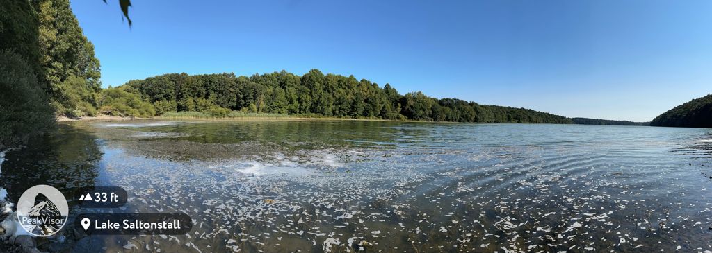
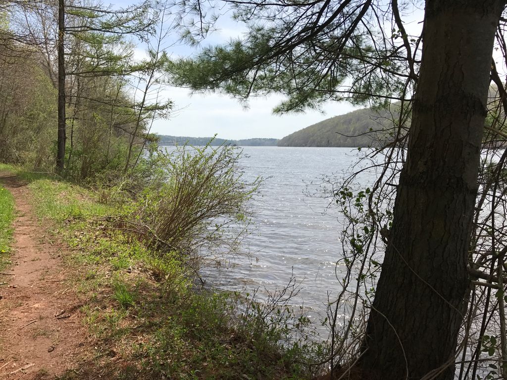
Lake Saltonstall (Lonotonoquet in Quinnipiac), is a long narrow lake located in south-central Connecticut. It covers an area of approximately 0.66 square miles (1.7 km2) and is nestled in the center of the trap rock Saltonstall Mountain. The lake is surrounded by forest and serves as part of the local water supply for surrounding towns. The lake and the area around it is owned by the South Central Connecticut Regional Water Authority, a company which also regulates fishing and rents boats. Private boats are not allowed. A permit may be purchased, which provides access to hiking trails, fishing and boat rentals at Lake Saltonstall and other properties owned and maintained by the RWA. There are a variety of fish native to Lake Saltonstall in addition to those that are stocked by the RWA. Fish in Lake Saltonstall include largemouth bass, smallmouth bass, black crappie, walleye, trout, yellow perch and carp. Interstate 95 runs across the southern edge of the lake, connecting the towns of East Haven, Connecticut and Branford, Connecticut. Lake Saltonstall's maximum depth does not exceed 113 feet (34 m) and its mean depth is 41 feet (12 m).
We use GPS information embedded into the photo when it is available.
3D mountains overlay
Adjust mountain panorama to perfectly match your photos because recorded by camera photo position might be imprecise.
Move tool
Rotate tool
Zoom
More customization
Choose which peak labels should make into the final photo and what photo title should be.
Next
Photo Location
Satellitte
Flat map
Relief map
Latitude
Longitude
Altitude
OR
Latitude
°'''
Longitude
°'''
Apply
Register Peak
Peak Name
Latitude
Longitude
Altitude
Register
Teleport
PeakVisor
This 3D model of Sagarmatha National Park in Nepal was made using the PeakVisor app topographic data. The mobile app features higher precision models worldwide, more topographic details, and works offline. Download PeakVisor maps today.
Download OBJ model
PeakVisor
The download should start shortly. If you find it useful please consider supporting the PeakVisor app.
PeakVisor for iOS and Android
Be a superhero of outdoor navigation with state-of-the-art 3D maps and mountain identification in the palm of your hand!