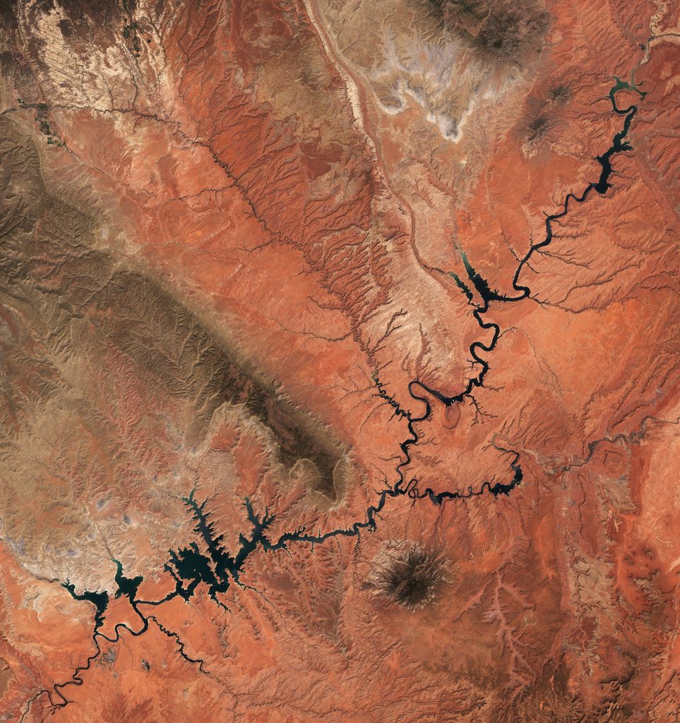
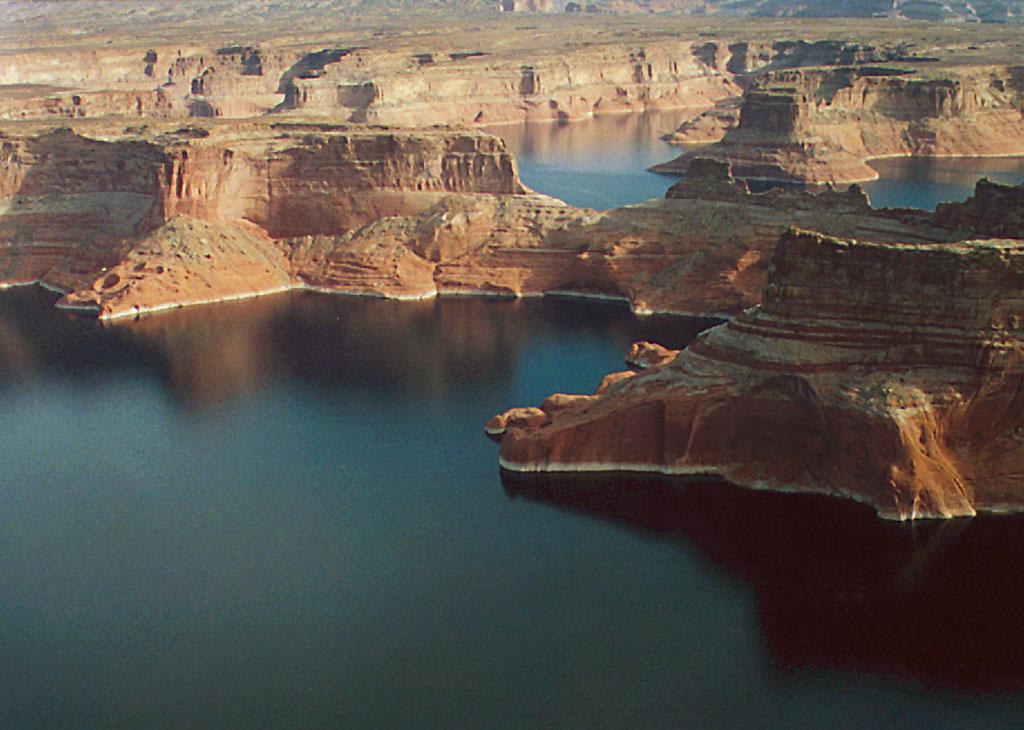
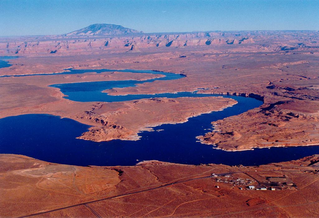
Lake Powell is a reservoir on the Colorado River in Utah and Arizona, United States. It is a major vacation destination visited by approximately two million people every year. It holds 24,322,000 acre-feet (3.0001×10¹⁰ m3) of water when full, second in the United States to only Lake Mead - though Lake Mead has fallen below Lake Powell in size several times during the 21st century in terms of volume of water, depth and surface area. Lake Powell was created by the flooding of Glen Canyon by the Glen Canyon Dam, which also led to the 1972 creation of Glen Canyon National Recreation Area, a popular summer destination of public land managed by the National Park Service. The reservoir is named for John Wesley Powell, a civil war veteran who explored the river via three wooden boats in 1869. It lies primarily in southern Utah, with a small portion in northern Arizona. Lake Powell is a water storage facility for the Upper Basin states of the Colorado River Compact (Colorado, Utah, Wyoming and New Mexico). The Compact specifies that the Upper Basin states are to provide a minimum annual flow of 7,500,000 acre-feet (9.3 km3) to the Lower Basin states (Arizona, Nevada, and California). According to US Geological Survey and the Bureau of Reclamation report, in addition to water loss, Lake Powell faced an average annual loss in storage capacity of about 33,270 acre-feet, or 11 billion gallons, per year between 1963 and 2018 because of sediments flowing in from the Colorado and San Juan rivers. Those settle at the bottom of the reservoir and decrease the total amount of water the reservoir can hold. Environmentalists have pushed to drain Lake Powell and restore Glen Canyon to its natural, free-flowing state.
We use GPS information embedded into the photo when it is available.
3D mountains overlay
Adjust mountain panorama to perfectly match your photos because recorded by camera photo position might be imprecise.
Move tool
Rotate tool
Zoom
More customization
Choose which peak labels should make into the final photo and what photo title should be.
Next
Photo Location
Satellitte
Flat map
Relief map
Latitude
Longitude
Altitude
OR
Latitude
°'''
Longitude
°'''
Apply
Register Peak
Peak Name
Latitude
Longitude
Altitude
Register
Teleport
PeakVisor
This 3D model of Sagarmatha National Park in Nepal was made using the PeakVisor app topographic data. The mobile app features higher precision models worldwide, more topographic details, and works offline. Download PeakVisor maps today.
Download OBJ model
PeakVisor
The download should start shortly. If you find it useful please consider supporting the PeakVisor app.
PeakVisor for iOS and Android
Be a superhero of outdoor navigation with state-of-the-art 3D maps and mountain identification in the palm of your hand!


.jpg)