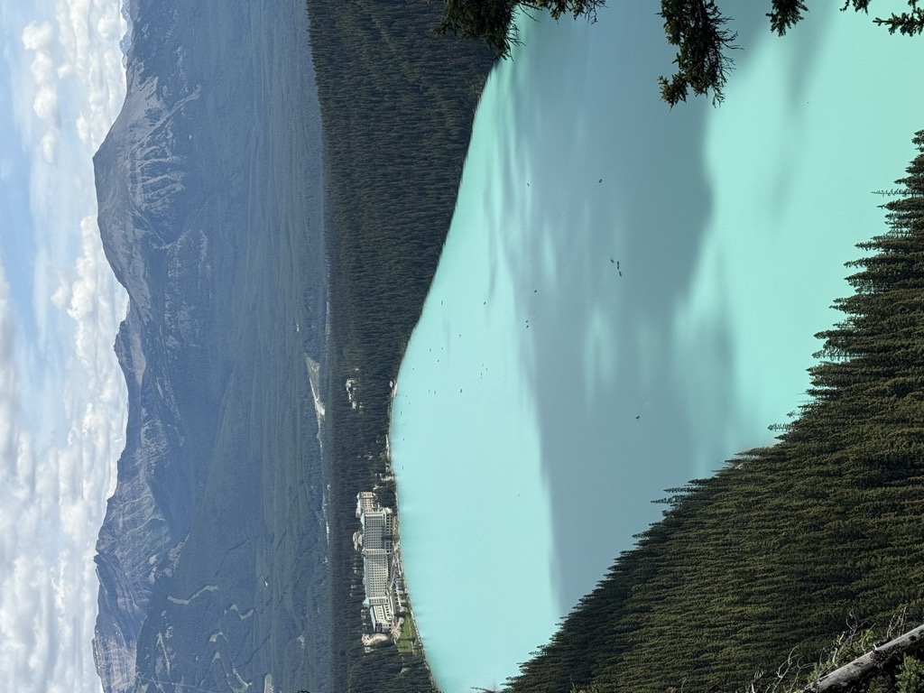
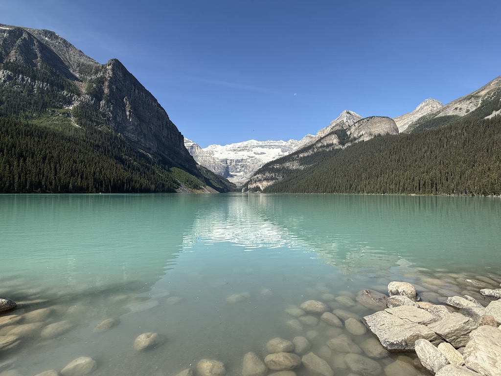
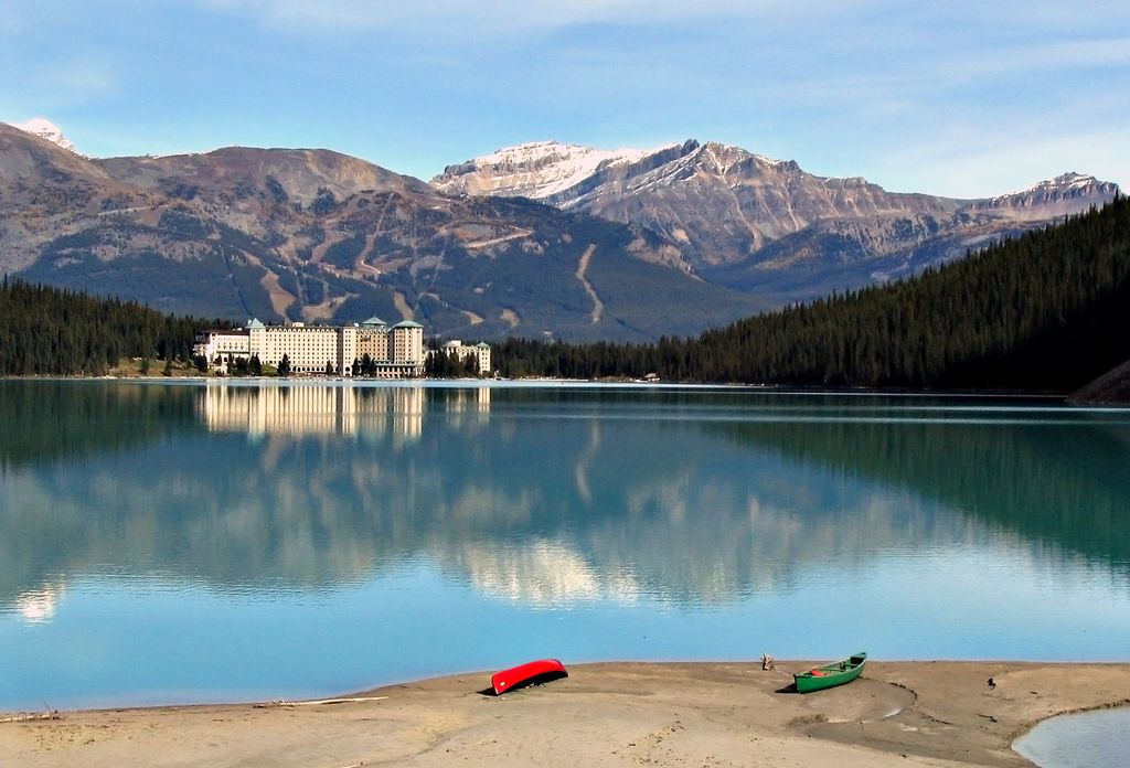
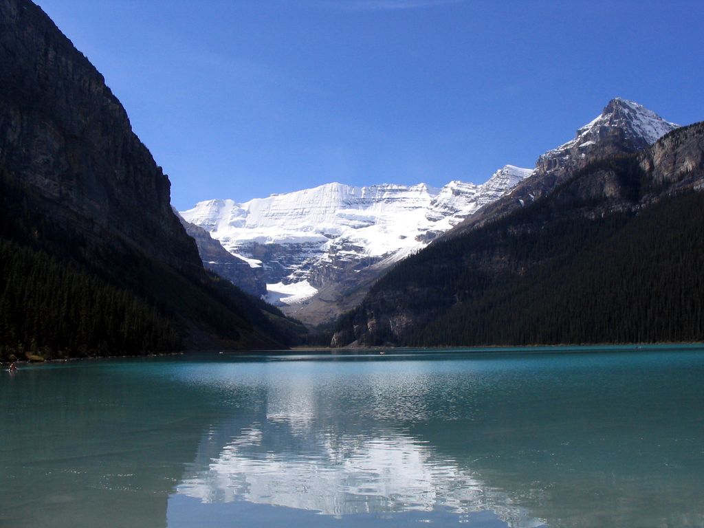
Lake Louise (named Ho-run-num-nay (Lake of the Little Fishes) by the Stoney Nakoda First Nations people) is a glacial lake within Banff National Park in Alberta, Canada. Situated 11 km (6.8 mi) east of the border with British Columbia, Lake Louise is located 5 km (3.1 mi) west of the hamlet of Lake Louise and the Trans-Canada Highway (Highway 1). Lake Louise was well known and visited by Indigenous Peoples prior to the arrival of the Canadian Pacific Railway survey crews in the 1880s. Thomas Edmonds Wilson was the first non-Indigenous person to visit the lake, having being led there by a Stoney Nakoda guide named Edwin Hunter in 1882. Wilson named the lake "Emerald Lake" and promoted it as a development opportunity, although the lake was later renamed to Lake Louise. Lake Louise is named after the Princess Louise Caroline Alberta (1848–1939), the fourth daughter of Queen Victoria and the wife of the Marquess of Lorne, who was the Governor General of Canada from 1878 to 1883. The turquoise colour of the water comes from rock flour carried into the lake by melt-water from the glaciers that overlook the lake. The lake has a surface of 0.8 km2 (0.31 sq mi) and is drained through the 3 km long Louise Creek into the Bow River. Fairmont's Chateau Lake Louise, one of Canada's grand railway hotels, is located on Lake Louise's eastern shore. It is a luxury resort hotel built in the early decades of the 20th century by the Canadian Pacific Railway. Moraine Lake and Lake Agnes are also accessible from Lake Louise.
We use GPS information embedded into the photo when it is available.
3D mountains overlay
Adjust mountain panorama to perfectly match your photos because recorded by camera photo position might be imprecise.
Move tool
Rotate tool
Zoom
More customization
Choose which peak labels should make into the final photo and what photo title should be.
Next
Photo Location
Satellitte
Flat map
Relief map
Latitude
Longitude
Altitude
OR
Latitude
°'''
Longitude
°'''
Apply
Register Peak
Peak Name
Latitude
Longitude
Altitude
Register
Teleport
PeakVisor
This 3D model of Sagarmatha National Park in Nepal was made using the PeakVisor app topographic data. The mobile app features higher precision models worldwide, more topographic details, and works offline. Download PeakVisor maps today.
Download OBJ model
PeakVisor
The download should start shortly. If you find it useful please consider supporting the PeakVisor app.
PeakVisor for iOS and Android
Be a superhero of outdoor navigation with state-of-the-art 3D maps and mountain identification in the palm of your hand!