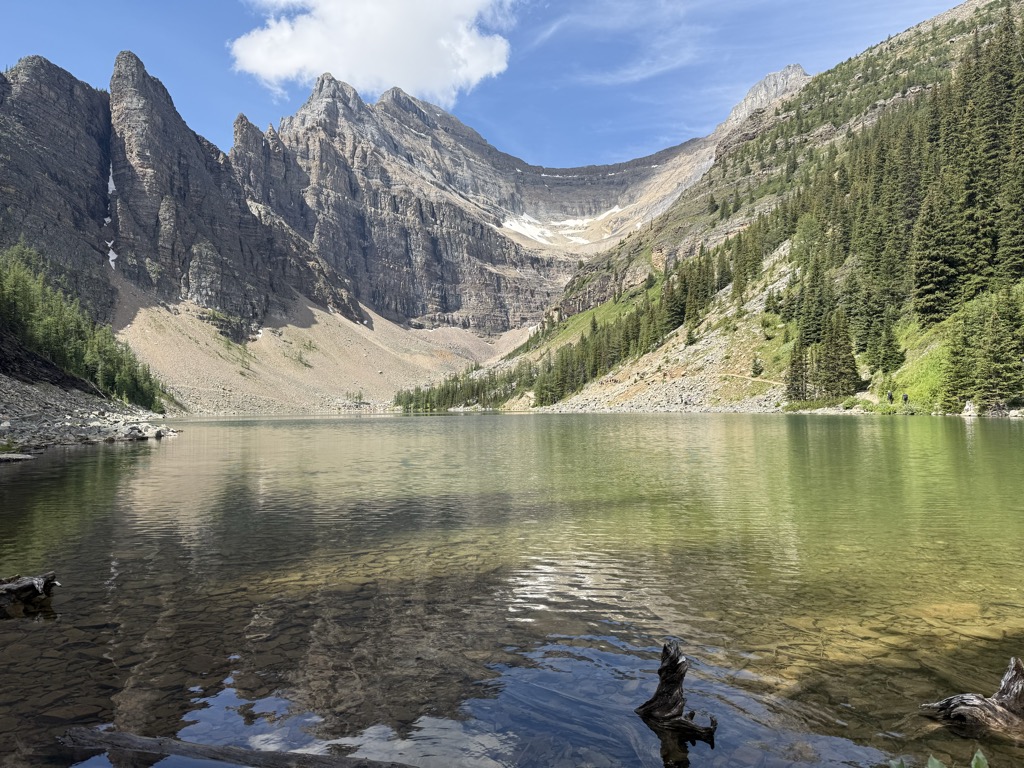
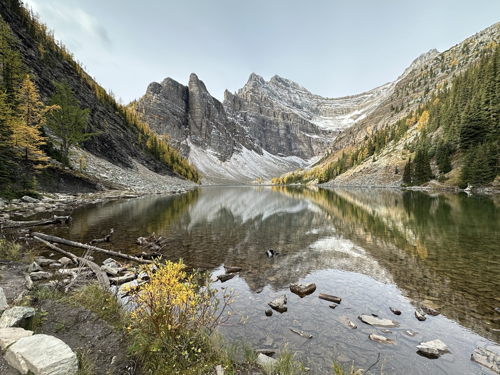
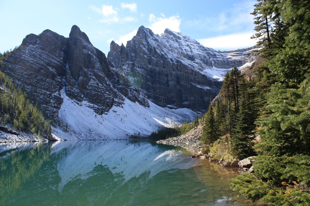
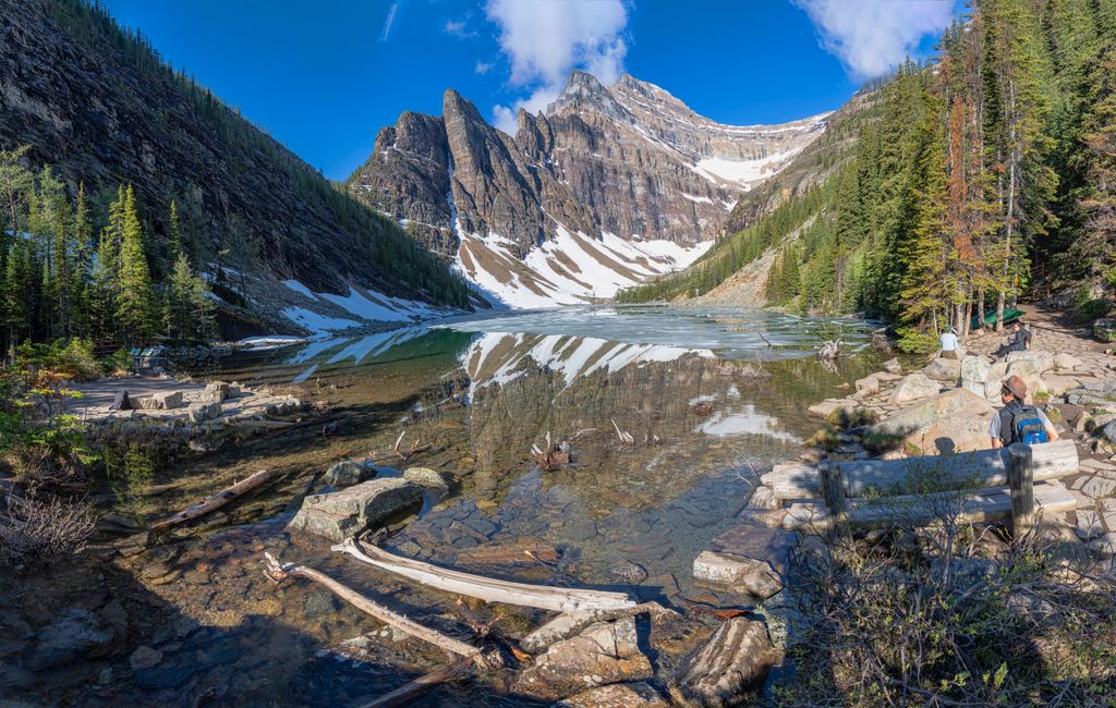
Lake Agnes is a small mountain lake in the Banff National Park of Alberta, Canada. It has a surface area of 0.052 km2 and is located approximately 3.5 km (one-way) hiking distance from Lake Louise. A teahouse is situated along the eastern shore at an elevation of 2134 metres (7002 ft). A hiking trail continues down the northern shore, making a 180° turn before ascending to the Big Beehive. Just before the trail starts the arc, a scrambling route up Mount Niblock can be found. The Little Beehive can be ascended to the east of Lake Agnes. At the top, there are excellent views of the Continental Divide. The Lake Agnes Tea House is situated on the eastern shores of the lake.
We use GPS information embedded into the photo when it is available.
3D mountains overlay
Adjust mountain panorama to perfectly match your photos because recorded by camera photo position might be imprecise.
Move tool
Rotate tool
Zoom
More customization
Choose which peak labels should make into the final photo and what photo title should be.
Next
Photo Location
Satellitte
Flat map
Relief map
Latitude
Longitude
Altitude
OR
Latitude
°'''
Longitude
°'''
Apply
Register Peak
Peak Name
Latitude
Longitude
Altitude
Register
Teleport
PeakVisor
This 3D model of Sagarmatha National Park in Nepal was made using the PeakVisor app topographic data. The mobile app features higher precision models worldwide, more topographic details, and works offline. Download PeakVisor maps today.
Download OBJ model
PeakVisor
The download should start shortly. If you find it useful please consider supporting the PeakVisor app.
PeakVisor for iOS and Android
Be a superhero of outdoor navigation with state-of-the-art 3D maps and mountain identification in the palm of your hand!