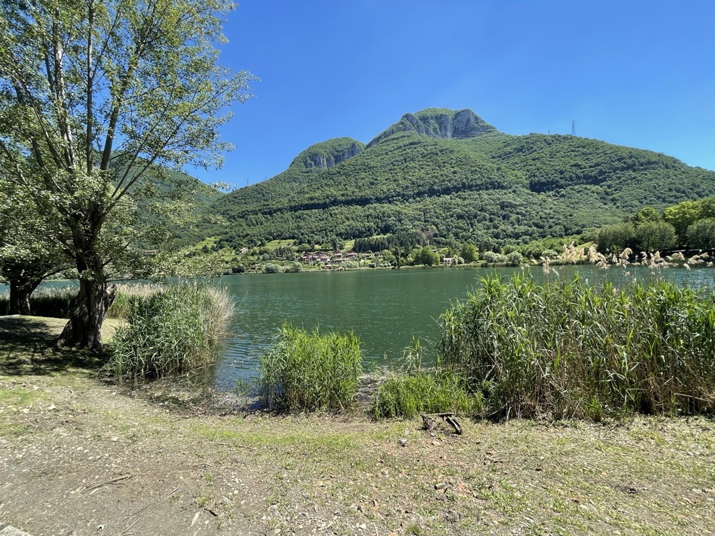
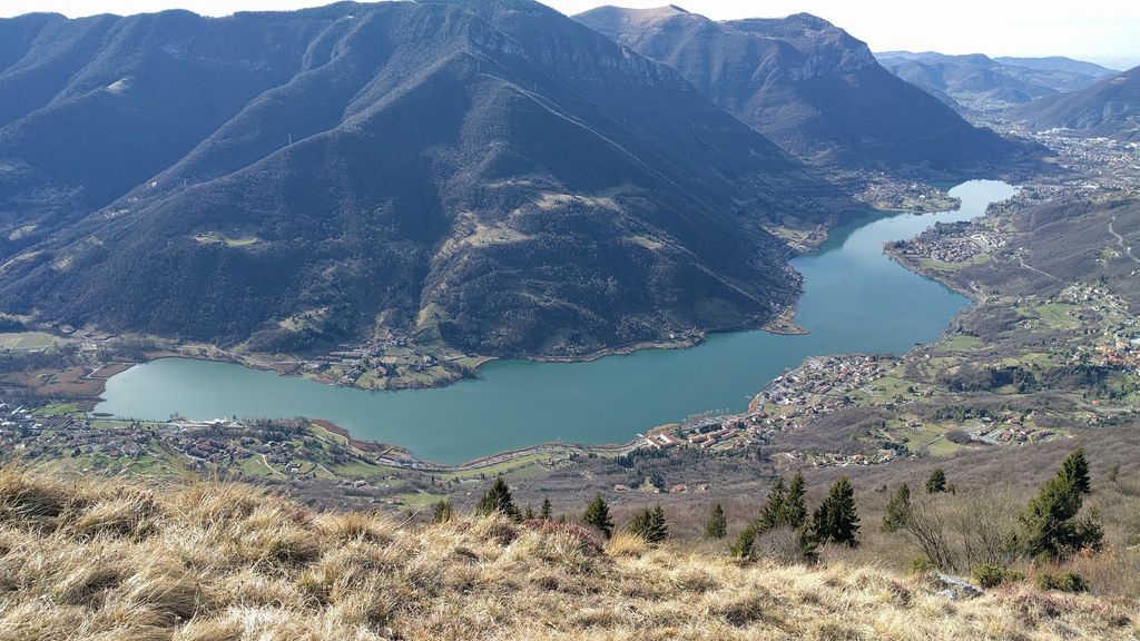
Lake Endine (Italian: Lago d'Endine) is a lake of the Province of Bergamo, Lombardy, Italy. Covering an area of 2.1 square kilometres, it is formed by the Cherio River at an altitude of 337 metres in the Val Cavallina. The lake lies in the territories of the municipalities of Endine Gaiano, Monasterolo del Castello, Ranzanico and Spinone al Lago. The lake, set in the narrow valley between tall peaks, has preserved virtually intact the natural environment previously classified "area of remarkable environmental interest" by the authorities of the Lombardy region, subsequently promoted to park and as such subject to protection[1]. The lake banks alternate thick reeds - an ideal breeding area for the wide variety of fish and a bird haven - to small beaches densely populated during week-ends by tourists, who can picnic there in areas suitably equipped with wooden tables, waste bins, etc. The lake water, sufficiently clear, tends to a characteristic dark green colour. On the West bank, beyond state road no. 42, the territory is highly anthropised, especially in the lower sector; the less sunny East bank, on the other hand, has few villages.
We use GPS information embedded into the photo when it is available.
3D mountains overlay
Adjust mountain panorama to perfectly match your photos because recorded by camera photo position might be imprecise.
Move tool
Rotate tool
Zoom
More customization
Choose which peak labels should make into the final photo and what photo title should be.
Next
Photo Location
Satellitte
Flat map
Relief map
Latitude
Longitude
Altitude
OR
Latitude
°'''
Longitude
°'''
Apply
Register Peak
Peak Name
Latitude
Longitude
Altitude
Register
Teleport
PeakVisor
This 3D model of Sagarmatha National Park in Nepal was made using the PeakVisor app topographic data. The mobile app features higher precision models worldwide, more topographic details, and works offline. Download PeakVisor maps today.
Download OBJ model
PeakVisor
The download should start shortly. If you find it useful please consider supporting the PeakVisor app.
PeakVisor for iOS and Android
Be a superhero of outdoor navigation with state-of-the-art 3D maps and mountain identification in the palm of your hand!