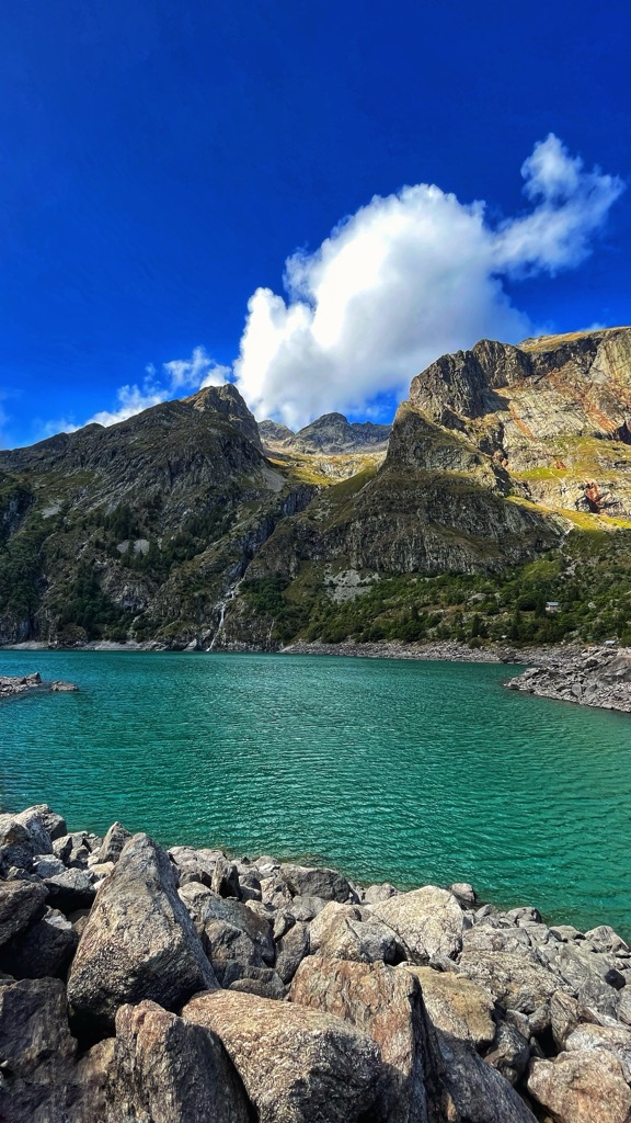
Lac du Lauvitel is a lake in the commune of Le Bourg-d'Oisans in the Isère department of France. At an elevation of 1530 m, the lake has a surface area of 0.35 km2. It is situated in the Vénéon valley. It is the largest lake of the Écrins massif and forms one slope of the Oisans region. The lake is accessible by foot from the nearby town of la Danchère. The southern part of the lake and valley are classified as part of a "réserve naturelle intégrale" since 1995. This classification aims to preserve such areas in their natural state as if entirely unaffected by human activity. This restricted area is forbidden to visitors and is instead reserved exclusively for scientific research, having been recognised in 2012 as an essential protected area for its scientific importance according to an assessment by the International Union for Conservation of Nature.
We use GPS information embedded into the photo when it is available.
3D mountains overlay
Adjust mountain panorama to perfectly match your photos because recorded by camera photo position might be imprecise.
Move tool
Rotate tool
Zoom
More customization
Choose which peak labels should make into the final photo and what photo title should be.
Next
Photo Location
Satellitte
Flat map
Relief map
Latitude
Longitude
Altitude
OR
Latitude
°'''
Longitude
°'''
Apply
Register Peak
Peak Name
Latitude
Longitude
Altitude
Register
Teleport
PeakVisor
This 3D model of Sagarmatha National Park in Nepal was made using the PeakVisor app topographic data. The mobile app features higher precision models worldwide, more topographic details, and works offline. Download PeakVisor maps today.
Download OBJ model
PeakVisor
The download should start shortly. If you find it useful please consider supporting the PeakVisor app.
PeakVisor for iOS and Android
Be a superhero of outdoor navigation with state-of-the-art 3D maps and mountain identification in the palm of your hand!