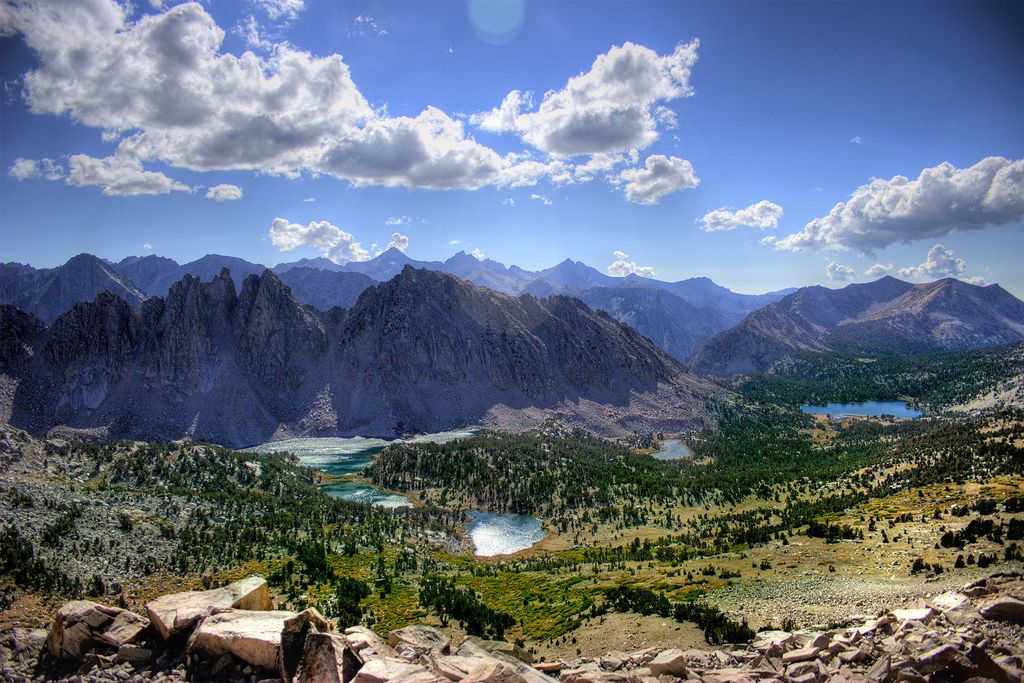
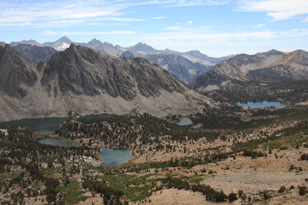
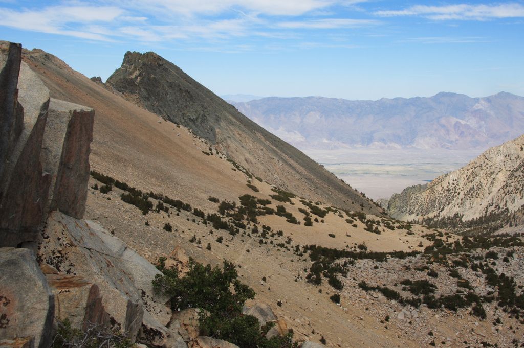
Kearsarge Pass is a pass in the Sierra Nevada of California. The pass lies on the Sierra Crest at 11,709 feet (3,569 m). The pass permits foot traffic between Kings Canyon National Park and the John Muir Wilderness. The pass was named after the Kearsarge mine to the east, which was named by its owners after the USS Kearsarge, the ship that destroyed the CSS Alabama. The Alabama Hills were named after the latter ship, and the mine was named in reaction. The first known crossing of Kearsarge Pass was in 1864.
We use GPS information embedded into the photo when it is available.
3D mountains overlay
Adjust mountain panorama to perfectly match your photos because recorded by camera photo position might be imprecise.
Move tool
Rotate tool
Zoom
More customization
Choose which peak labels should make into the final photo and what photo title should be.
Next
Photo Location
Satellitte
Flat map
Relief map
Latitude
Longitude
Altitude
OR
Latitude
°'''
Longitude
°'''
Apply
Register Peak
Peak Name
Latitude
Longitude
Altitude
Register
Teleport
PeakVisor
This 3D model of Sagarmatha National Park in Nepal was made using the PeakVisor app topographic data. The mobile app features higher precision models worldwide, more topographic details, and works offline. Download PeakVisor maps today.
Download OBJ model
PeakVisor
The download should start shortly. If you find it useful please consider supporting the PeakVisor app.
PeakVisor for iOS and Android
Be a superhero of outdoor navigation with state-of-the-art 3D maps and mountain identification in the palm of your hand!