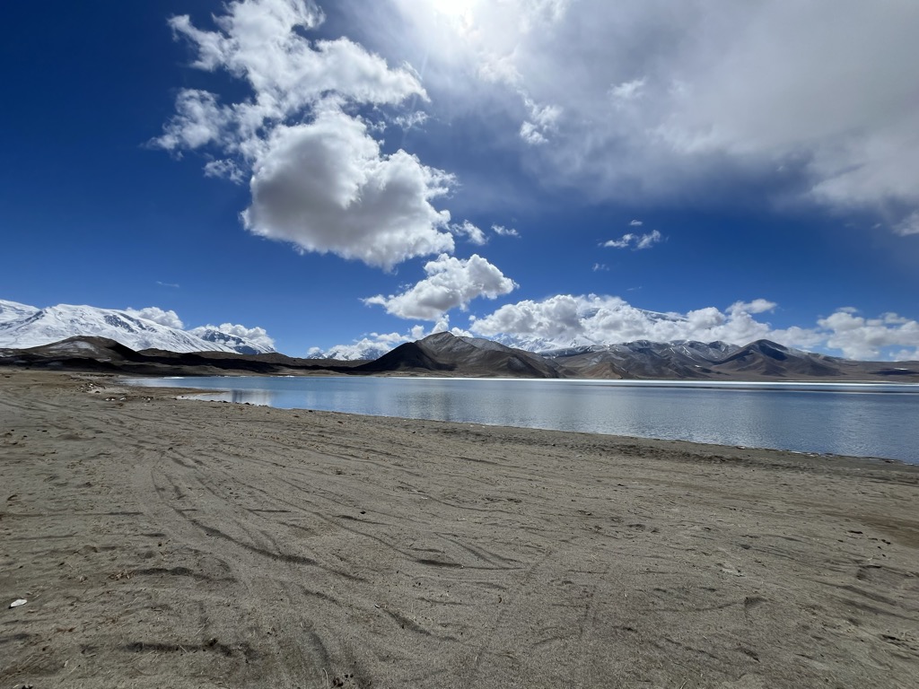
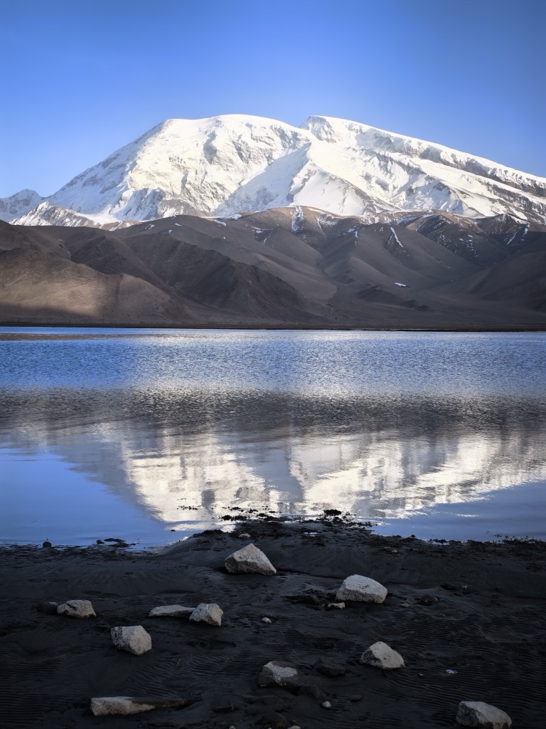
The Karakul or Karakuli (Uyghur: قاراكۆل, romanized: Qaraköl, Қаракөл; Kyrgyz: Каракөл; Tajik: Қарокӯл; Russian: Каракуль, lit. "black lake"), is a lake located 196 km southwest of Kashgar, Xinjiang Uyghur Autonomous Region of China. It is located in Akto County, Kizilsu Kirgiz Autonomous Prefecture on the Karakoram Highway, before reaching Tashkurgan, the Khunjerab Pass on the China - Pakistan border and Sost in Pakistan. At an altitude of 3,600 m, it is the highest lake of the Pamir plateau, near the junction of the Pamir, Tian Shan and Kunlun mountain ranges. Surrounded by mountains which remain snow-covered throughout the year, the three highest peaks visible from the lake are the Muztagh Ata (7,546 m), Kongur Tagh (7,649 m) and Kongur Tiube (7,530 m). The meltwater from the nearby Muztagh Ata glaciers profoundly influences the lake water and sediment chemistry. The lake is popular among travellers for its scenery and the clarity of its reflection in the water, whose color ranges from a dark green to azure and light blue. There are two Kirgiz settlements along the shore of Karakul lake, a small number of yurts about 1 km east of the bus drop-off point and a village with stone houses located on the western shores.
We use GPS information embedded into the photo when it is available.
3D mountains overlay
Adjust mountain panorama to perfectly match your photos because recorded by camera photo position might be imprecise.
Move tool
Rotate tool
Zoom
More customization
Choose which peak labels should make into the final photo and what photo title should be.
Next
Photo Location
Satellitte
Flat map
Relief map
Latitude
Longitude
Altitude
OR
Latitude
°'''
Longitude
°'''
Apply
Register Peak
Peak Name
Latitude
Longitude
Altitude
Register
Teleport
PeakVisor
This 3D model of Sagarmatha National Park in Nepal was made using the PeakVisor app topographic data. The mobile app features higher precision models worldwide, more topographic details, and works offline. Download PeakVisor maps today.
Download OBJ model
PeakVisor
The download should start shortly. If you find it useful please consider supporting the PeakVisor app.
PeakVisor for iOS and Android
Be a superhero of outdoor navigation with state-of-the-art 3D maps and mountain identification in the palm of your hand!