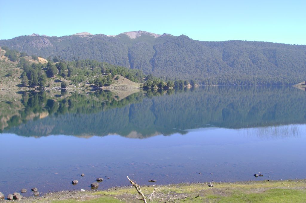
Icalma Lake is a lake of glacial origin located in the Andes of the La Araucanía Region of Chile. A hamlet on the southern shore of the lake is also called Icalma. About 3 kilometres (1.9 mi) from the hamlet is Icalma Pass, 1,307 metres (4,288 ft) in elevation and on the border with Argentina. The pass is traversed by a road, unpaved in Chile in 2017 and sometimes impassable during the Southern Hemisphere winter due to heavy snows. Icalma Airport is located 9 kilometres (5.6 mi) northeast of the hamlet. Icalma Lake is connected to the Laguna Chica de Icalma (Little Lake of Icalma) by a short stream about 300 metres (980 ft) long. The two lakes together have a surface area of 11.7 square kilometres (2,900 acres). Icalma Lake drains northeastwards by way of a 10 kilometres (6.2 mi) long river named Rukanuco. Icalma Lake and nearby Galletué Lake are the sources of the Bio Bio River.
We use GPS information embedded into the photo when it is available.
3D mountains overlay
Adjust mountain panorama to perfectly match your photos because recorded by camera photo position might be imprecise.
Move tool
Rotate tool
Zoom
More customization
Choose which peak labels should make into the final photo and what photo title should be.
Next
Photo Location
Satellitte
Flat map
Relief map
Latitude
Longitude
Altitude
OR
Latitude
°'''
Longitude
°'''
Apply
Register Peak
Peak Name
Latitude
Longitude
Altitude
Register
Teleport
PeakVisor
This 3D model of Sagarmatha National Park in Nepal was made using the PeakVisor app topographic data. The mobile app features higher precision models worldwide, more topographic details, and works offline. Download PeakVisor maps today.
Download OBJ model
PeakVisor
The download should start shortly. If you find it useful please consider supporting the PeakVisor app.
PeakVisor for iOS and Android
Be a superhero of outdoor navigation with state-of-the-art 3D maps and mountain identification in the palm of your hand!