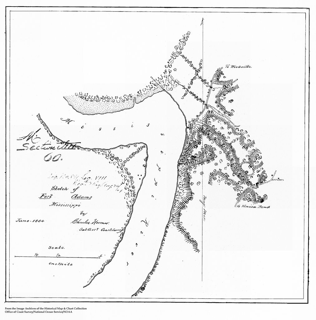
Fort Adams is a small, river port community in Wilkinson County, Mississippi, United States, about 40 miles (64 km) south of Natchez. It is notable for having been the U.S. port of entry on the Mississippi River, before the acquisition of New Orleans; it was the site of an early fort by that name. The town was called Wilkinburg and was incorporated in 1798. Prior to that time, the community was known as Loftus Heights and formerly had been a Jesuit mission called the Rock of Davion, first settled as such circa 1689–1700. This is also the site where the Choctaw Treaty of Fort Adams was signed in 1801.
We use GPS information embedded into the photo when it is available.
3D mountains overlay
Adjust mountain panorama to perfectly match your photos because recorded by camera photo position might be imprecise.
Move tool
Rotate tool
Zoom
More customization
Choose which peak labels should make into the final photo and what photo title should be.
Next
Photo Location
Satellitte
Flat map
Relief map
Latitude
Longitude
Altitude
OR
Latitude
°'''
Longitude
°'''
Apply
Register Peak
Peak Name
Latitude
Longitude
Altitude
Register
Teleport
PeakVisor
This 3D model of Sagarmatha National Park in Nepal was made using the PeakVisor app topographic data. The mobile app features higher precision models worldwide, more topographic details, and works offline. Download PeakVisor maps today.
Download OBJ model
PeakVisor
The download should start shortly. If you find it useful please consider supporting the PeakVisor app.
PeakVisor for iOS and Android
Be a superhero of outdoor navigation with state-of-the-art 3D maps and mountain identification in the palm of your hand!