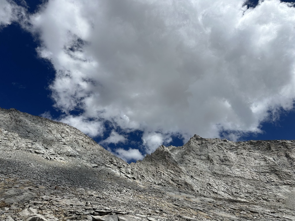
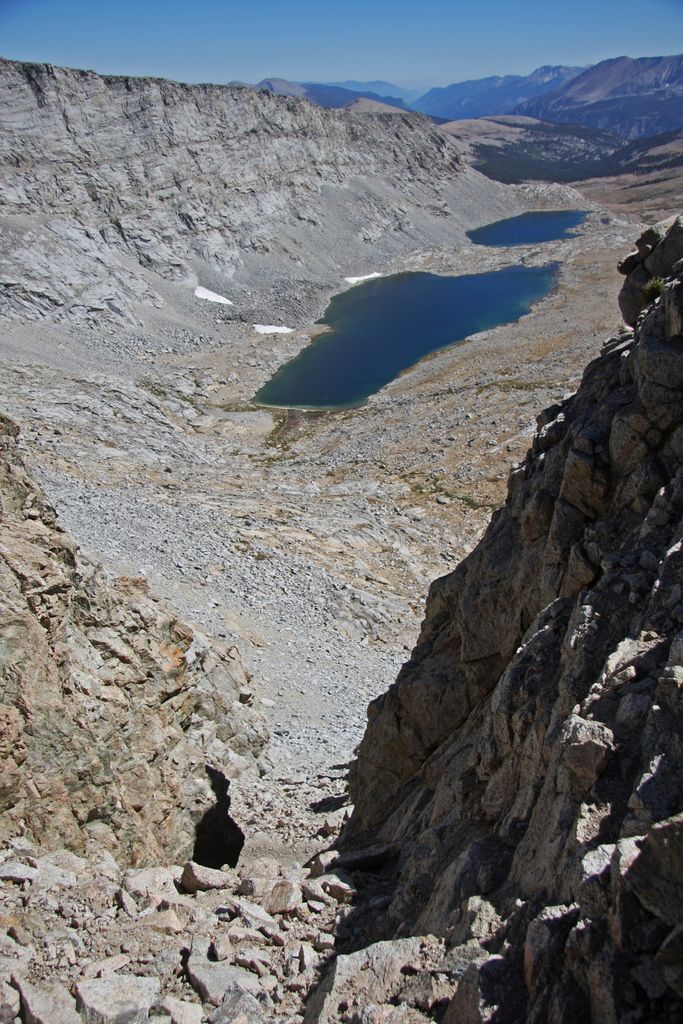
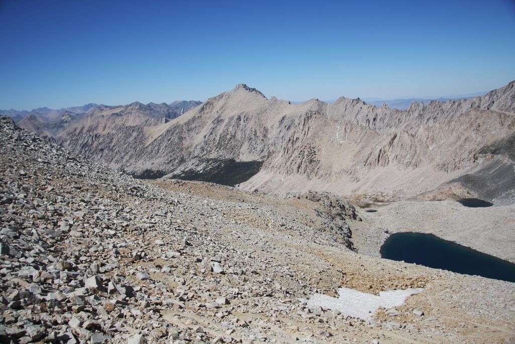
Forester Pass is a mountain pass in the Sierra Nevada. Located on the Kings-Kern Divide and on the boundary between Sequoia National Park and Kings Canyon National Park, Forester Pass connects the drainages of Bubbs Creek (a tributary of the South Fork Kings River) and the Kern River. The pass is traversed by the John Muir Trail and the Pacific Crest Trail, which are coincident between Crabtree Meadows and Tuolumne Meadows. At 13,153 feet (4,009 m), Forester Pass is the highest point along the Pacific Crest Trail. It is also the southernmost of the six high mountain passes above 11,000 feet along the John Muir Trail, with (in order from north to south) Donohue Pass, Muir Pass, Mather Pass, Pinchot Pass, and Glen Pass. The PCT/JMT ascends the pass gradually from the north and switchbacks precipitously down its sheer southern side.
We use GPS information embedded into the photo when it is available.
3D mountains overlay
Adjust mountain panorama to perfectly match your photos because recorded by camera photo position might be imprecise.
Move tool
Rotate tool
Zoom
More customization
Choose which peak labels should make into the final photo and what photo title should be.
Next
Photo Location
Satellitte
Flat map
Relief map
Latitude
Longitude
Altitude
OR
Latitude
°'''
Longitude
°'''
Apply
Register Peak
Peak Name
Latitude
Longitude
Altitude
Register
Teleport
PeakVisor
This 3D model of Sagarmatha National Park in Nepal was made using the PeakVisor app topographic data. The mobile app features higher precision models worldwide, more topographic details, and works offline. Download PeakVisor maps today.
Download OBJ model
PeakVisor
The download should start shortly. If you find it useful please consider supporting the PeakVisor app.
PeakVisor for iOS and Android
Be a superhero of outdoor navigation with state-of-the-art 3D maps and mountain identification in the palm of your hand!


.jpg)


