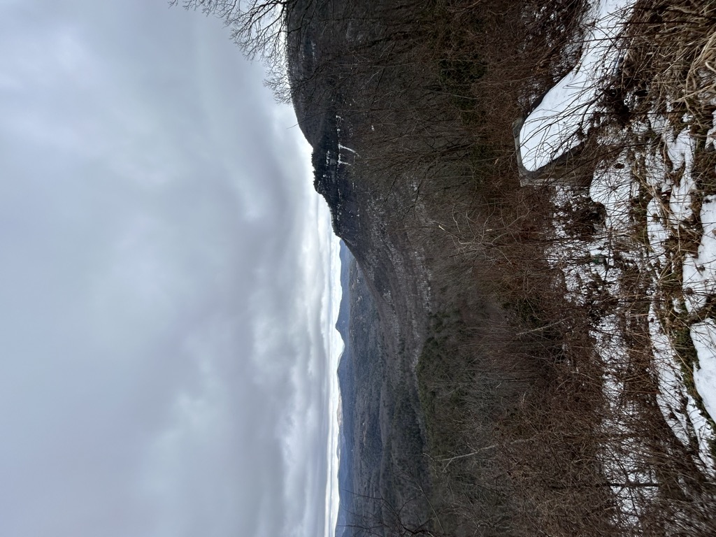
Cowee Gap (el. 4,199 ft (1,280 m)) is a mountain pass located between Highlands and Cashiers in the far southern part of western North Carolina. It is located on the Eastern Continental Divide, which also forms the boundary between Macon and Jackson counties, and between the Cullasaja River and Chattooga River basins (in turn part of the much larger Tennessee and Savannah basins) to the west and east, respectively. It is traversed by U.S. Route 64 at a sharp switchback, at and just north of which can be seen Whiteside Mountain to the southeast. The road is known as Cashiers Road toward Highlands and as Highlands Road toward Cashiers, changing names at the gap due to the county line. Historically, the Battle of Cowee Gap, between early settlers and the Cherokee people, was fought in the vicinity.
We use GPS information embedded into the photo when it is available.
3D mountains overlay
Adjust mountain panorama to perfectly match your photos because recorded by camera photo position might be imprecise.
Move tool
Rotate tool
Zoom
More customization
Choose which peak labels should make into the final photo and what photo title should be.
Next
Photo Location
Satellitte
Flat map
Relief map
Latitude
Longitude
Altitude
OR
Latitude
°'''
Longitude
°'''
Apply
Register Peak
Peak Name
Latitude
Longitude
Altitude
Register
Teleport
PeakVisor
This 3D model of Sagarmatha National Park in Nepal was made using the PeakVisor app topographic data. The mobile app features higher precision models worldwide, more topographic details, and works offline. Download PeakVisor maps today.
Download OBJ model
PeakVisor
The download should start shortly. If you find it useful please consider supporting the PeakVisor app.
PeakVisor for iOS and Android
Be a superhero of outdoor navigation with state-of-the-art 3D maps and mountain identification in the palm of your hand!