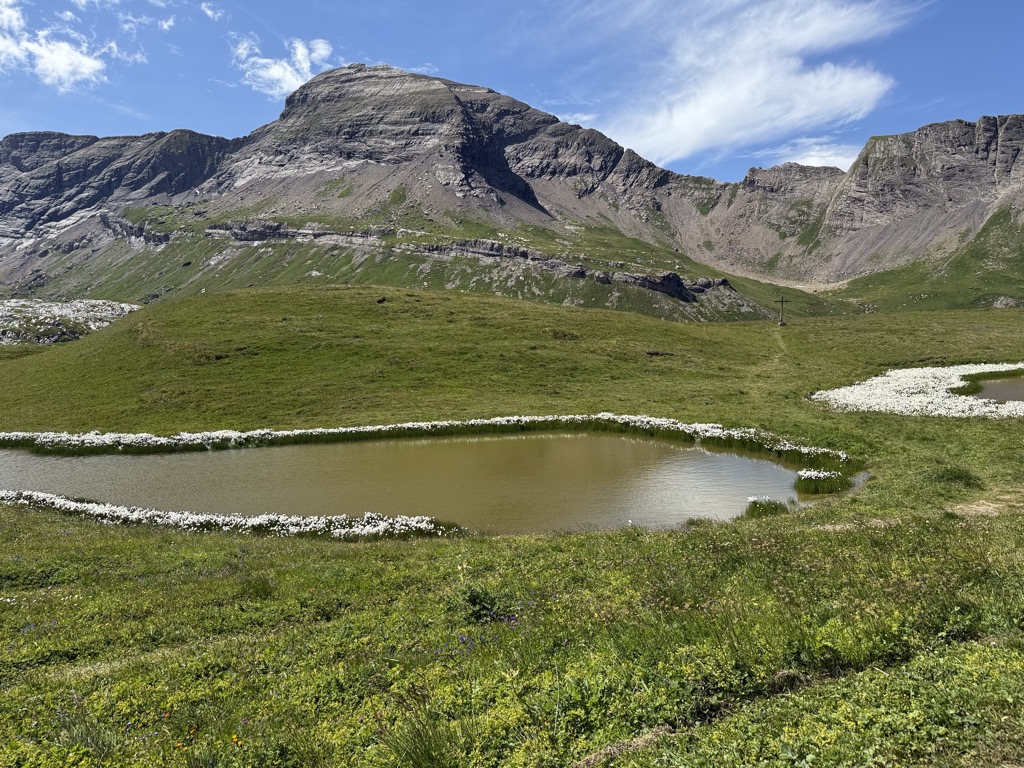
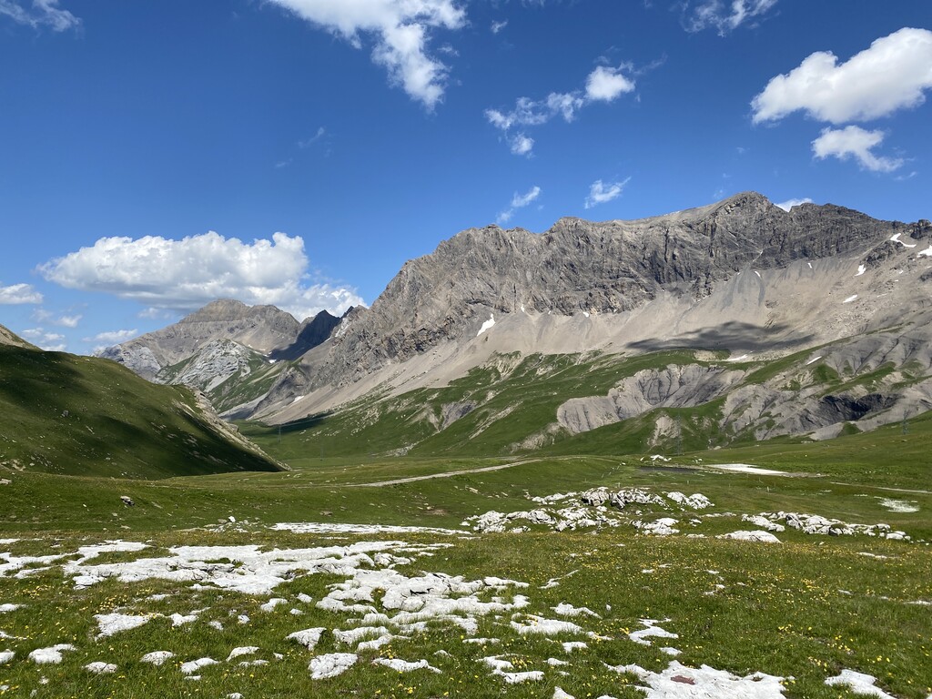
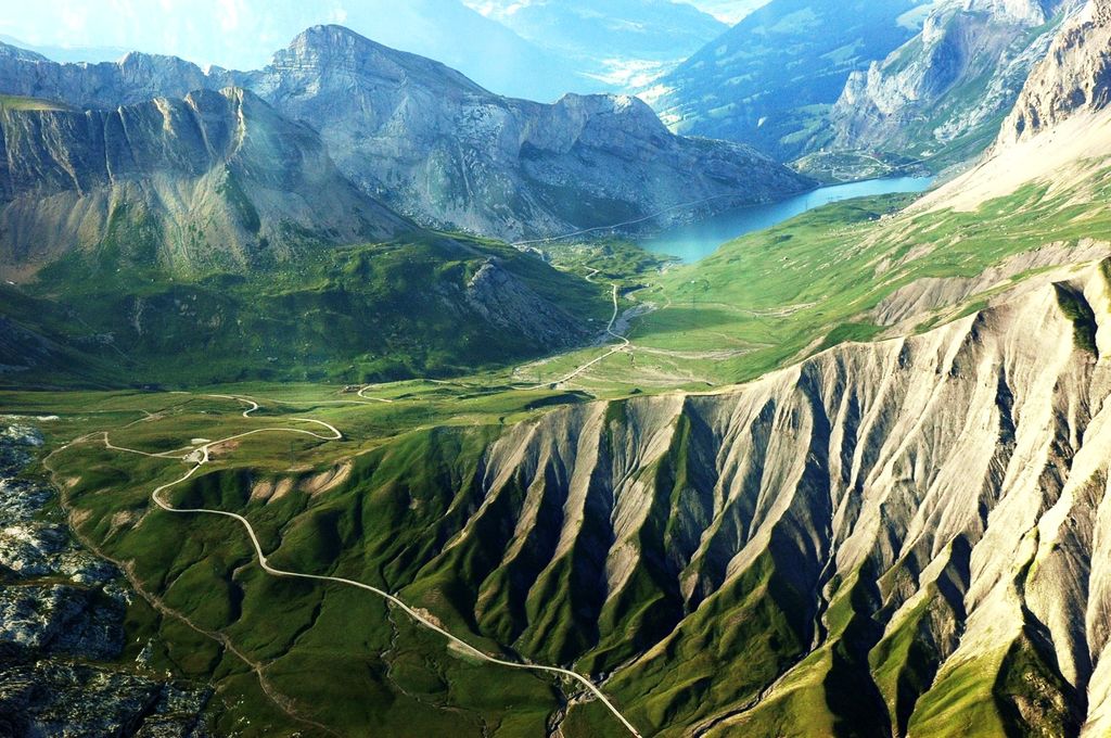
Sanetsch Pass (French: Col du Sanetsch or Col de Sénin) (el. 2242 m) is a high mountain pass in Switzerland across the western Bernese Alps, connecting Gsteig in the canton of Bern and Sion in the canton of Valais. Although a road leads to the pass from Sion and goes further to the Lac de Sanetsch, it can not be completely traversed by car. In the summer season the pass is accessible by PostBus and can also be traversed by cable car. The highest point of the road is at 2,252 metres. The pass itself is located in Valais 4 km south of the border with Bern. It separates the massif of the Diablerets on the west from the massif of the Wildhorn on the east. The Sanetschhorn and the Arpelistock overlook the pass on the west and east side respectively. The Col du Sanetsch is a popular destination because of the view over the Pennine Alps and the nearby Tsanfleuron Glacier.
We use GPS information embedded into the photo when it is available.
3D mountains overlay
Adjust mountain panorama to perfectly match your photos because recorded by camera photo position might be imprecise.
Move tool
Rotate tool
Zoom
More customization
Choose which peak labels should make into the final photo and what photo title should be.
Next
Photo Location
Satellitte
Flat map
Relief map
Latitude
Longitude
Altitude
OR
Latitude
°'''
Longitude
°'''
Apply
Register Peak
Peak Name
Latitude
Longitude
Altitude
Register
Teleport
PeakVisor
This 3D model of Sagarmatha National Park in Nepal was made using the PeakVisor app topographic data. The mobile app features higher precision models worldwide, more topographic details, and works offline. Download PeakVisor maps today.
Download OBJ model
PeakVisor
The download should start shortly. If you find it useful please consider supporting the PeakVisor app.
PeakVisor for iOS and Android
Be a superhero of outdoor navigation with state-of-the-art 3D maps and mountain identification in the palm of your hand!