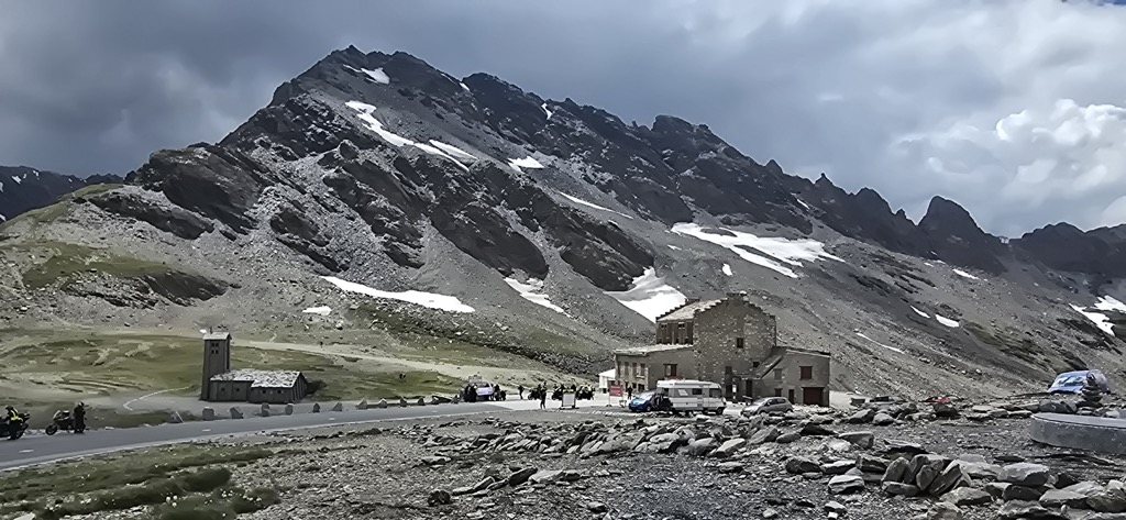
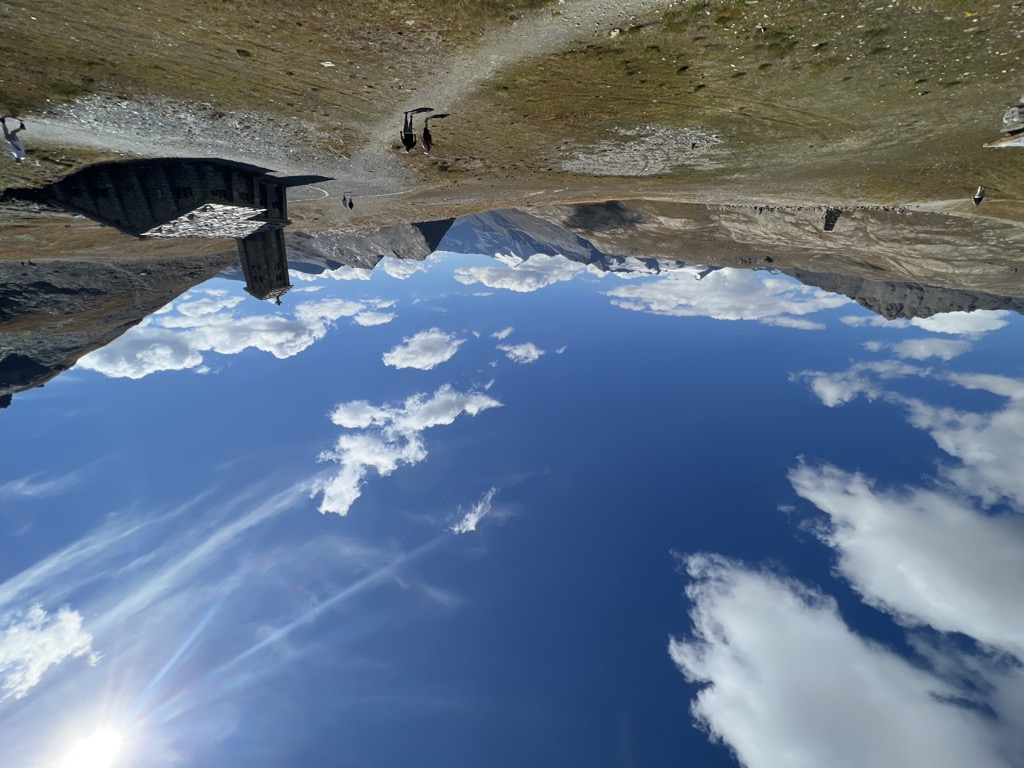
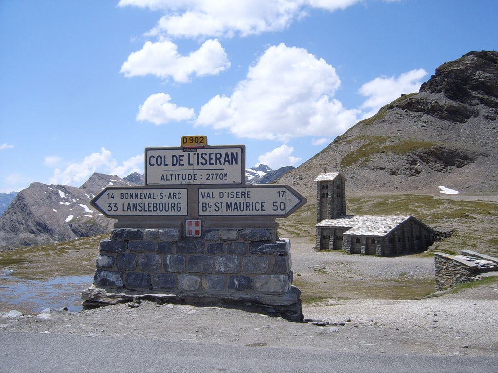
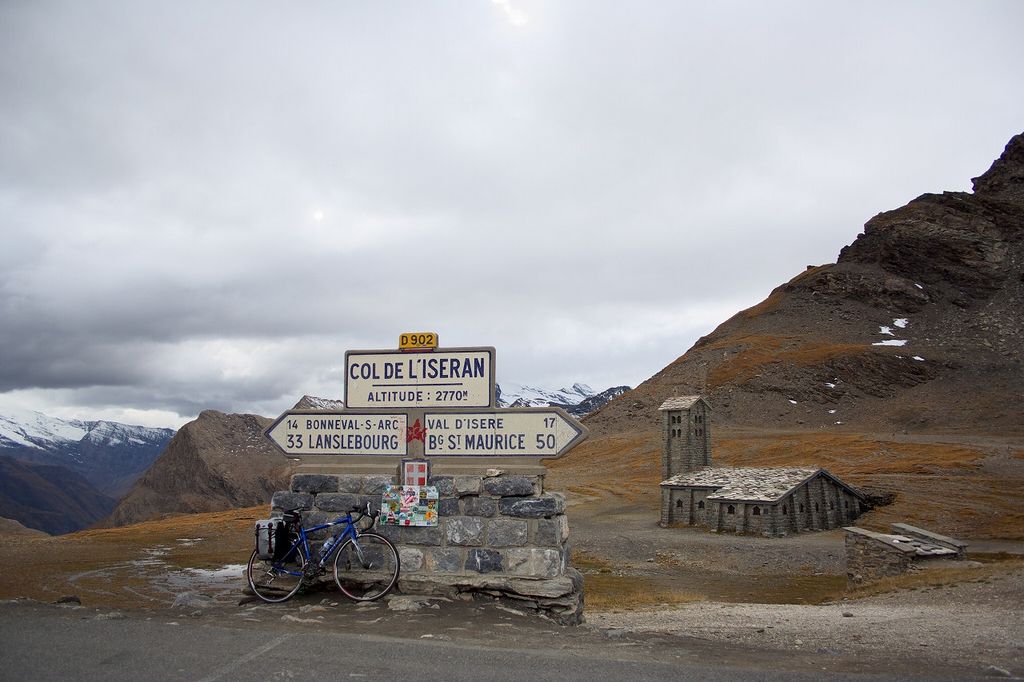
Col de l'Iseran (el. 2,764 metres (9,068 ft)) is a mountain pass in France, the highest paved pass in the Alps. A part of the Graian Alps, it is in the department of Savoie, near the border with Italy, and is crossed by the D902 roadway. The pass is part of the Route des Grandes Alpes. It connects the valley of the Isère (Tarentaise) and the valley of the Arc River (Maurienne) between Val-d'Isère in the north and Bonneval-sur-Arc in the south. On the northern side is the popular Tignes – Val d'Isère ski resort. The pass is only accessible by road during the summer months. In the winter it can only be accessed by a series of pistes and ski lifts. The Col is also accessible by off-road mountain paths and is the highest point both of the Alpine GR 5, a long-distance trail from Lake Geneva to Nice, and of the similar Grande Traversée des Alpes. The steep descent to the south, notable for its waterfalls, enters the Vanoise National Park here.
We use GPS information embedded into the photo when it is available.
3D mountains overlay
Adjust mountain panorama to perfectly match your photos because recorded by camera photo position might be imprecise.
Move tool
Rotate tool
Zoom
More customization
Choose which peak labels should make into the final photo and what photo title should be.
Next
Photo Location
Satellitte
Flat map
Relief map
Latitude
Longitude
Altitude
OR
Latitude
°'''
Longitude
°'''
Apply
Register Peak
Peak Name
Latitude
Longitude
Altitude
Register
Teleport
PeakVisor
This 3D model of Sagarmatha National Park in Nepal was made using the PeakVisor app topographic data. The mobile app features higher precision models worldwide, more topographic details, and works offline. Download PeakVisor maps today.
Download OBJ model
PeakVisor
The download should start shortly. If you find it useful please consider supporting the PeakVisor app.
PeakVisor for iOS and Android
Be a superhero of outdoor navigation with state-of-the-art 3D maps and mountain identification in the palm of your hand!


.jpg)

.jpg)
.jpg)
.jpg)


