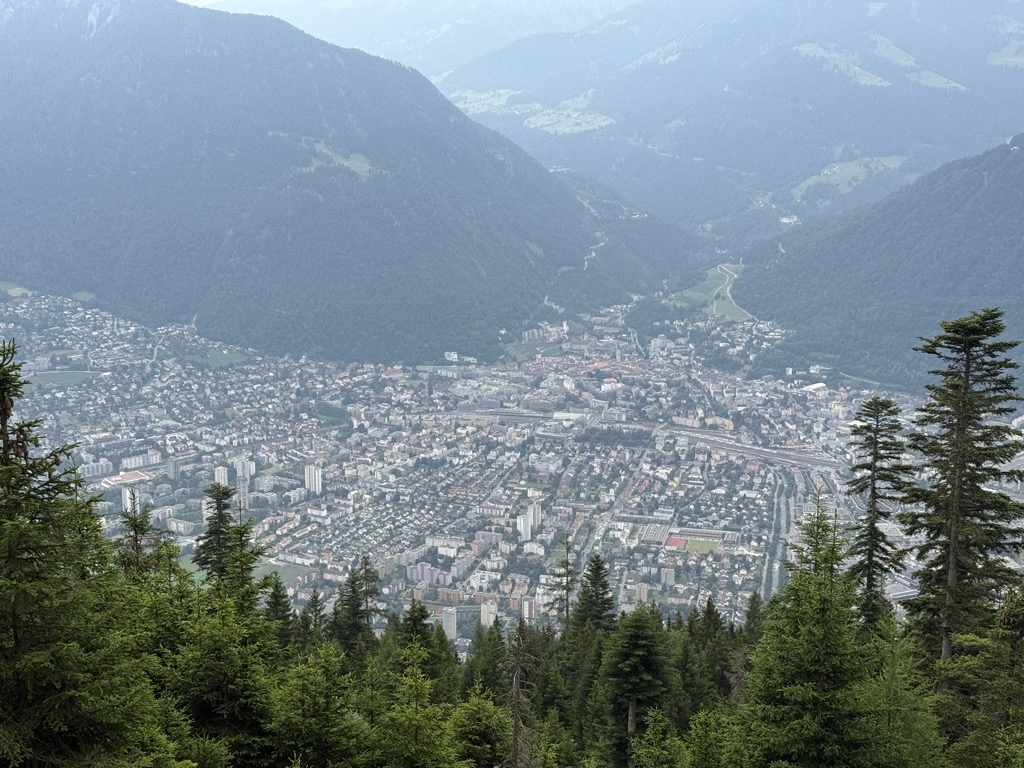
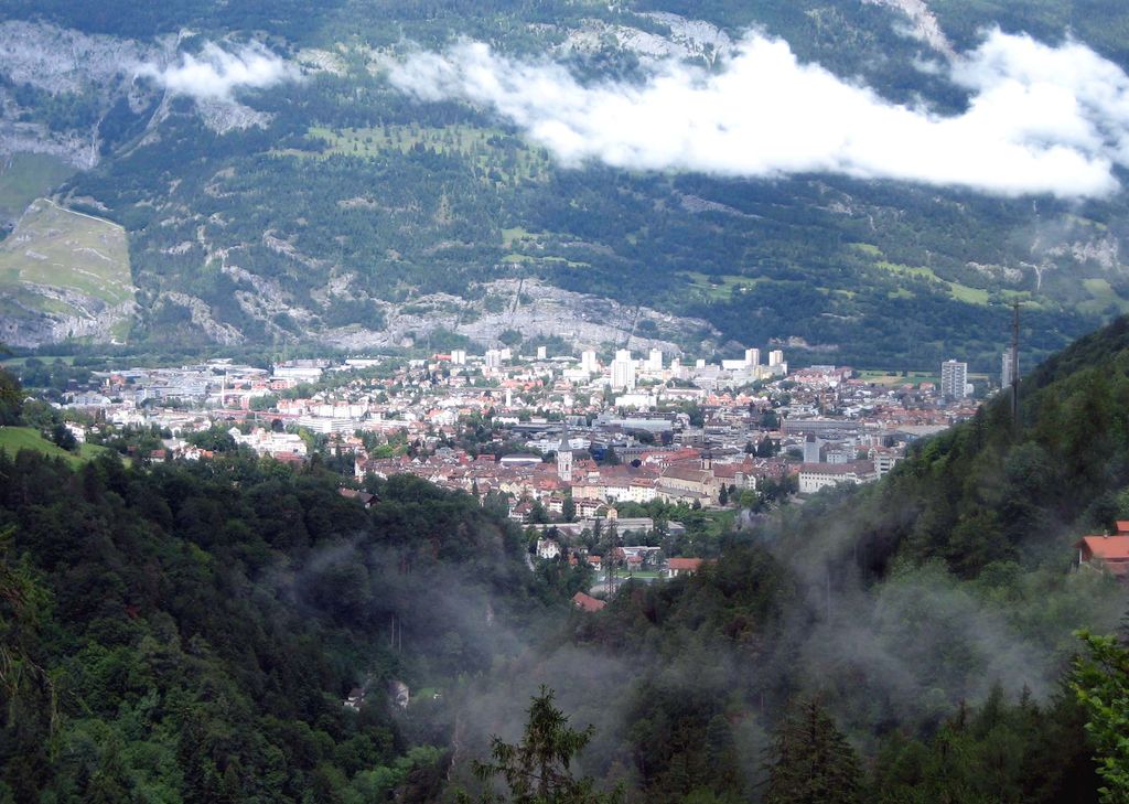
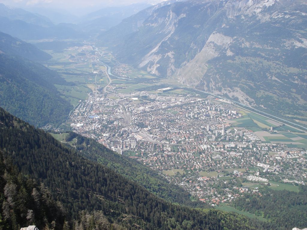
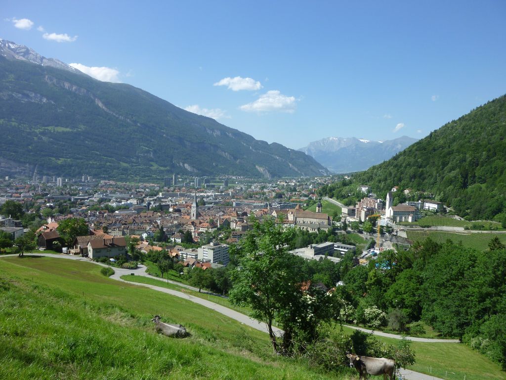
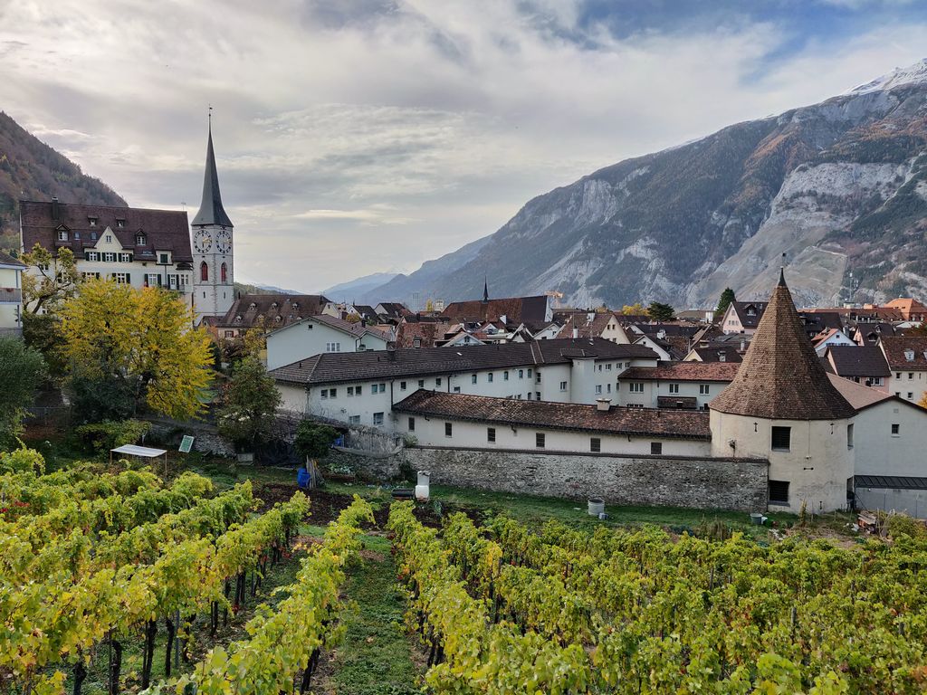
Chur (German: [ˈkuːr] (locally) or [ˈxuːr]; Italian: Coira [ˈkɔira]; Sursilvan: Cuera [ˈkweːʁə] ; Vallader: Cuoira [ˈkuɔ̯jrɐ] ; Puter and Rumantsch Grischun: Cuira [ˈkujrɐ] ; Surmiran: Coira; Sutsilvan: Cuera or Cuira; French: Coire [kwaʁ]) is the capital and largest town of the Swiss canton of the Grisons and lies in the Grisonian Rhine Valley, where the Rhine turns towards the north, in the northern part of the canton. The city, on the right bank of the Rhine, is reputedly the oldest town in Switzerland. The official language of Chur is German, but the main spoken language is the local variant of Alemannic, known as Grisonian German. Romansh and Italian are significantly spoken in the city as a result of the trilingual identity of the canton. On 1 January 2020 the former municipality of Maladers merged into Chur and on 1 January 2021 Haldenstein also merged.
We use GPS information embedded into the photo when it is available.
3D mountains overlay
Adjust mountain panorama to perfectly match your photos because recorded by camera photo position might be imprecise.
Move tool
Rotate tool
Zoom
More customization
Choose which peak labels should make into the final photo and what photo title should be.
Next
Photo Location
Satellitte
Flat map
Relief map
Latitude
Longitude
Altitude
OR
Latitude
°'''
Longitude
°'''
Apply
Register Peak
Peak Name
Latitude
Longitude
Altitude
Register
Teleport
PeakVisor
This 3D model of Sagarmatha National Park in Nepal was made using the PeakVisor app topographic data. The mobile app features higher precision models worldwide, more topographic details, and works offline. Download PeakVisor maps today.
Download OBJ model
PeakVisor
The download should start shortly. If you find it useful please consider supporting the PeakVisor app.
PeakVisor for iOS and Android
Be a superhero of outdoor navigation with state-of-the-art 3D maps and mountain identification in the palm of your hand!